Easy hikes and walks around Gruibingen
4.6
(22565)
90,132
hikers
78
hikes
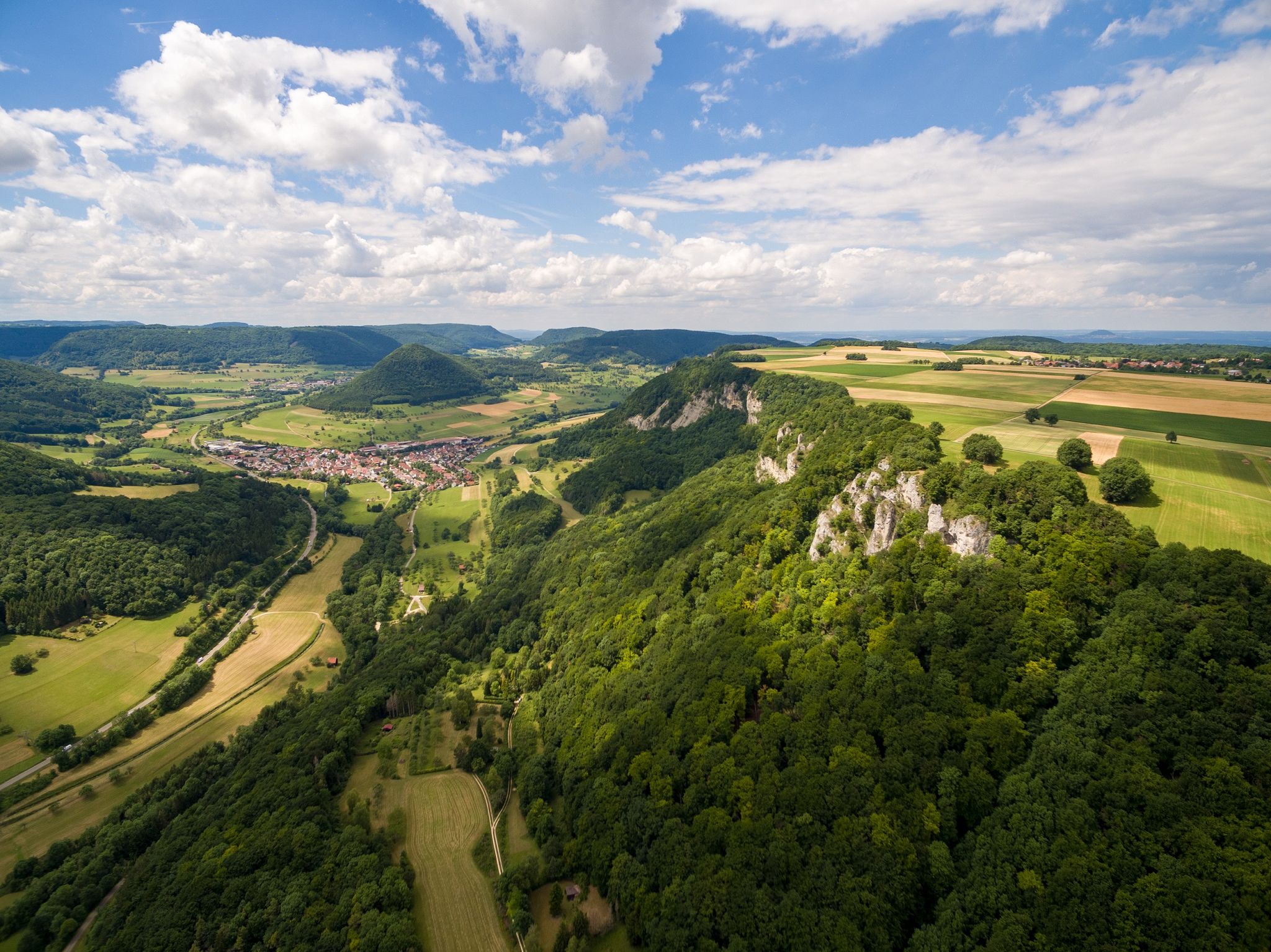
Easy hiking trails around Gruibingen are situated in a side valley of the Fils river, at the edge of the Swabian Alb. The region is characterized by diverse landscapes, including the prominent Albtrauf, which offers expansive views of the Filstal valley. The terrain features juniper heathlands, species-rich meadows, and natural deciduous forests, shaped by the erosive power of streams creating varied topography. This area is part of the Swabian Alb, known for its scenic beauty and ecological diversity.
Best easy…
Last updated: June 30, 2026
4.8
(23)
82
hikers
Easy hike. Great for any fitness level. Easily-accessible paths. Suitable for all skill levels.
4.8
(20)
135
hikers
4.29km
01:17
140m
140m
Easy hike. Great for any fitness level. Easily-accessible paths. Suitable for all skill levels.

Sign up for free
3.9
(9)
45
hikers
4.94km
01:28
150m
150m
Easy hike. Great for any fitness level. Easily-accessible paths. Suitable for all skill levels.
4.5
(4)
22
hikers
6.10km
01:50
190m
190m
Easy hike. Great for any fitness level. Easily-accessible paths. Suitable for all skill levels.
4.9
(8)
38
hikers
7.02km
01:59
150m
150m
Easy hike. Great for any fitness level. Easily-accessible paths. Suitable for all skill levels.
Get access to more routes and recommendations from other explorers.
Sign up for free
Already have an account?
Our route recommendations are based on thousands of hikes, rides, and runs completed by other people on komoot.
Start today with a free account
Your next adventure awaits.
Login or Signup
Popular around Gruibingen
Fantastic ridge views – hiking on the Albtraufgaenger
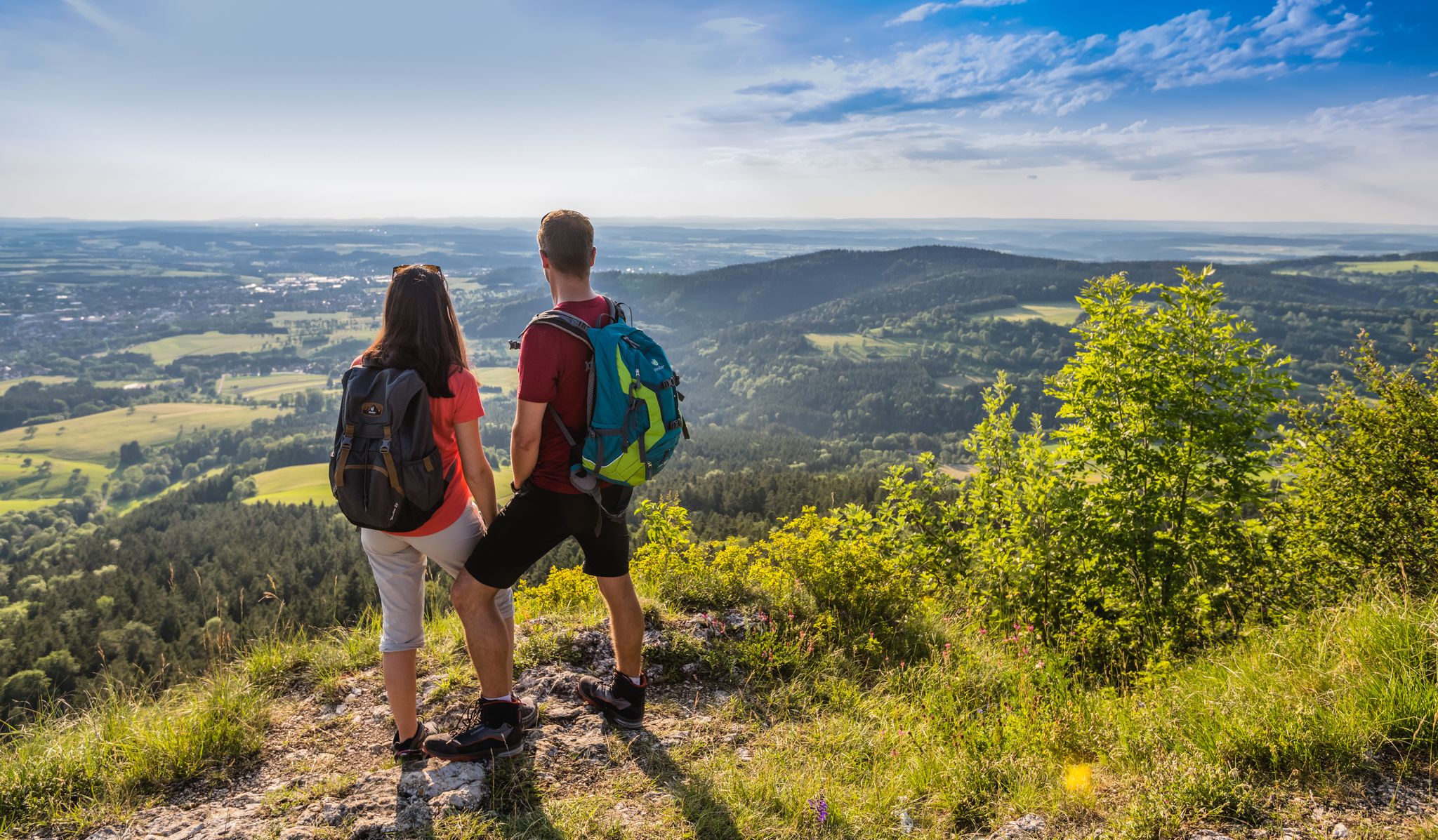
The Swabian Albsteig (HW1) – 16 stages of panoramic views
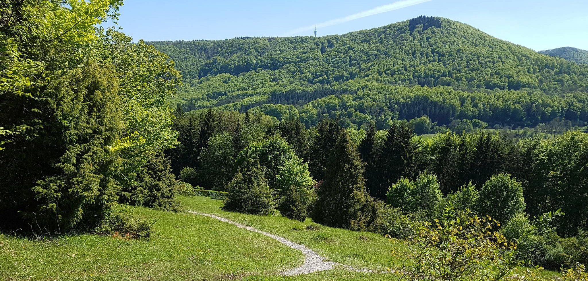
Spätzle Cross — 7 days on the Swabian Alb
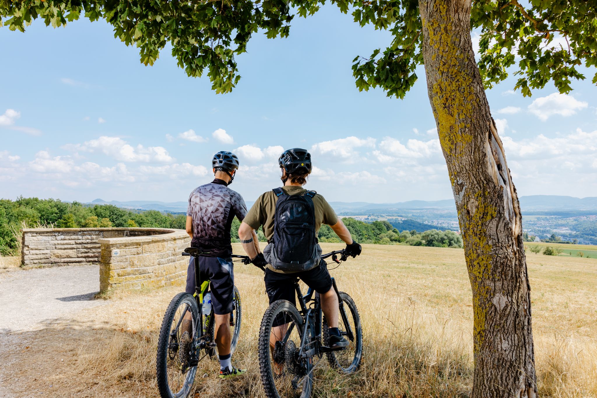
Up, down, Albwards! MTB adventures on the Schwäbische Alb
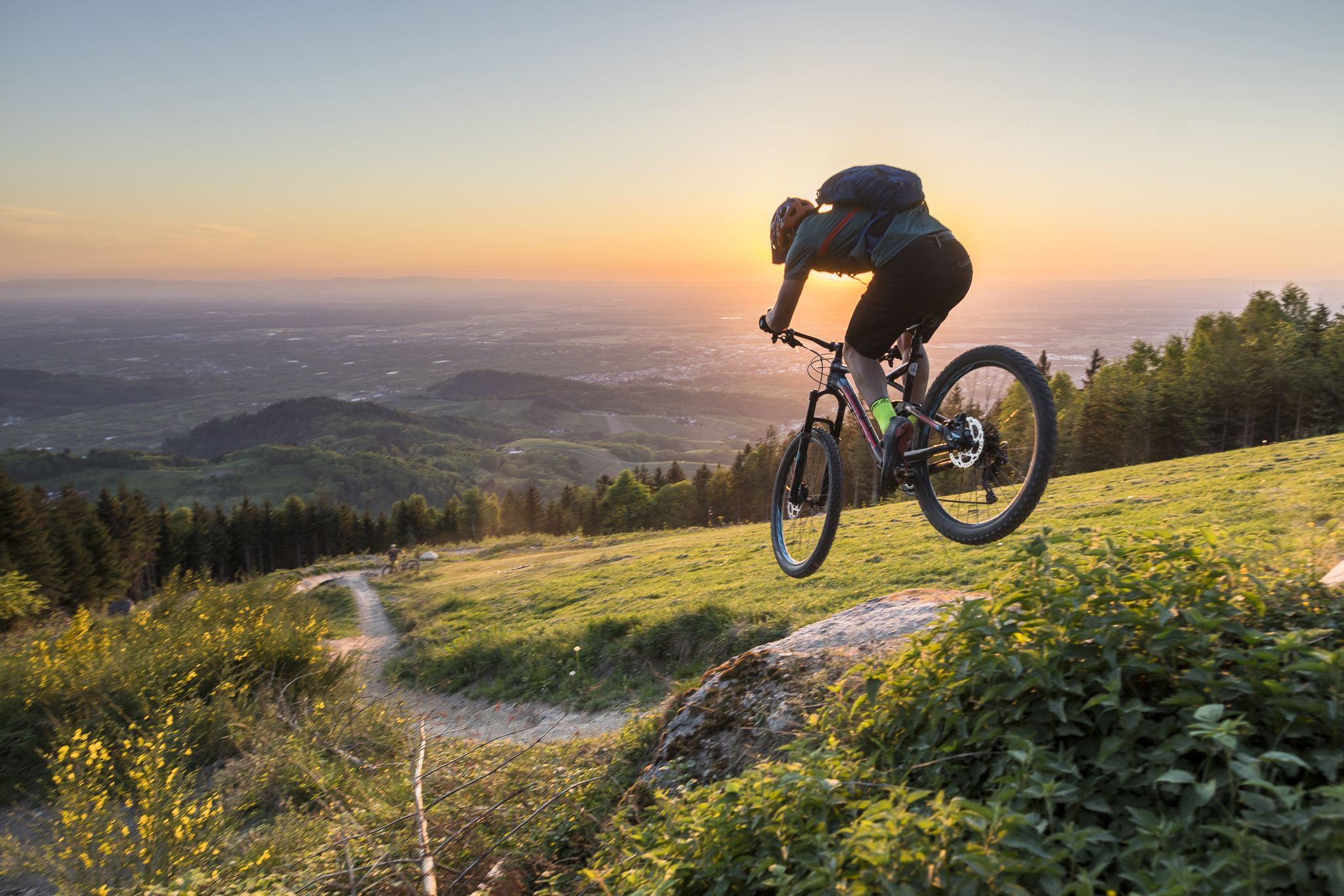
MTB flow in BW! Trails from the Schwarzwald to the Odenwald
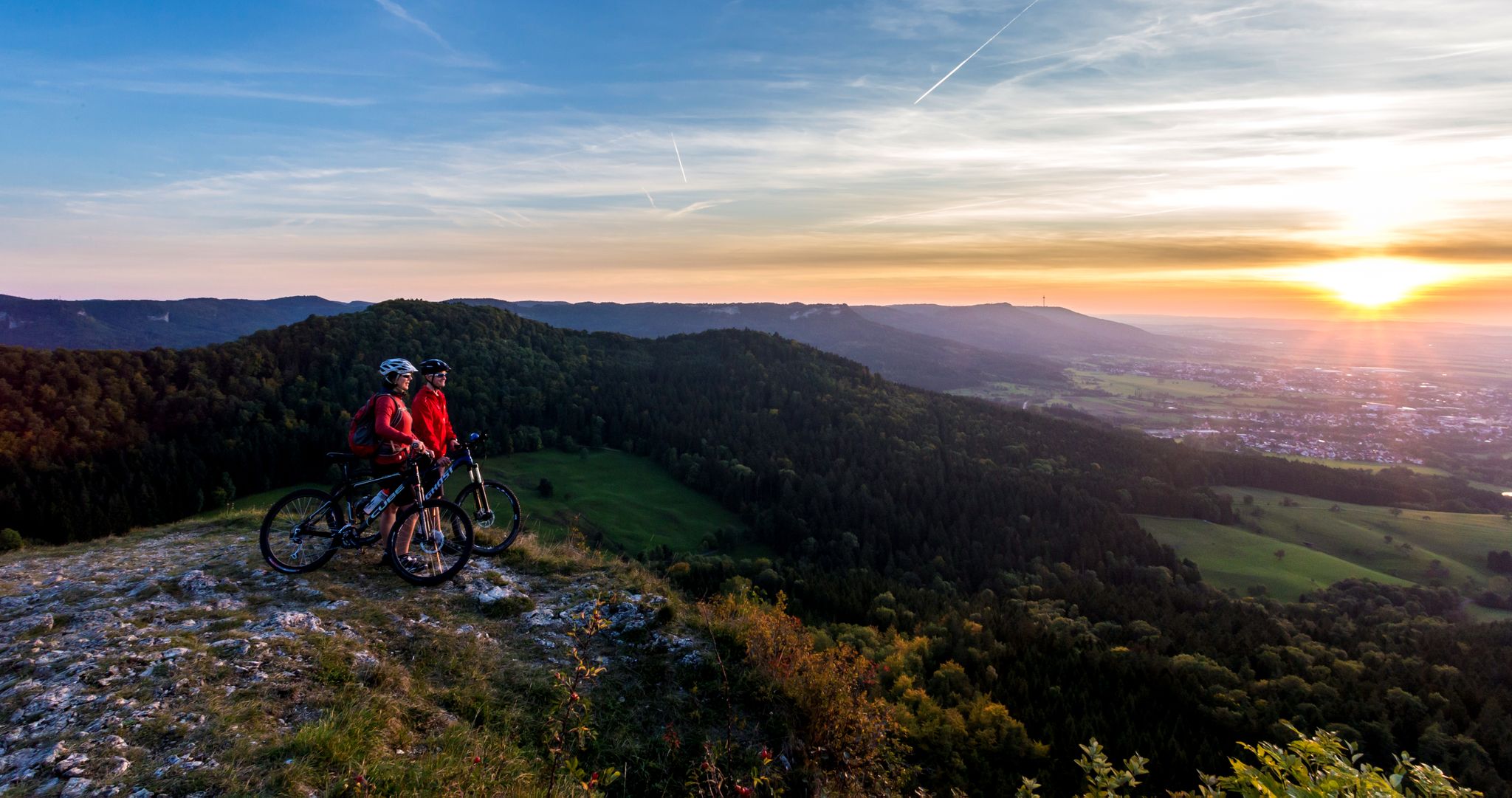
Alb-Crossing in Germany – traversing the Swabian Alb by bike
Other adventures around Gruibingen


Tips from the Community

Trial from Bertaburg to Bad Boll
0
0

Not really a recommendable shortcut through the bushes
0
0
A shady and quite steep climb from the Deutsche Haus up to the Boßler. The noise from the A8 motorway is a bit annoying here.
0
0

A fairly large shelter. Inside, there are two information panels.
0
0

A beautiful view from the edge of the forest above Deutsches Haus, overlooking the landscape in the foothills of the Swabian Alb. The view extends from the Aichelberg to the Kaiserberge.
6
0
A natural, sometimes quite steep path to the Bosser, which can be quite difficult to walk depending on the season and rainfall.
5
0
The Boßler is a prominent mountain in the Swabian Alps near Gruibingen, rising to 794.7 meters above sea level. From its vantage point on the edge of the Alb plateau, a sweeping view opens up across the Alb foothills – on a clear day, this extends far to the west. A large memorial cross also stands here, commemorating several tragic aircraft crashes that have occurred in the region since the 1940s.
4
0
The Boßlerhaus, a nature lovers' lodge, is picturesquely situated on the northern edge of the Swabian Alb, at an altitude of 785 meters above sea level, between the idyllic villages of Gruibingen and Weilheim. From here, one has a magnificent panoramic view of the Three Emperor Mountains and the landscape in front of the Swabian Alb.
4
0
Frequently Asked Questions
How many easy hiking trails are there around Gruibingen?
Gruibingen offers a wide selection of easy hiking trails, with over 35 routes specifically categorized as easy. In total, there are more than 80 hiking routes in the area, catering to various preferences and fitness levels.
What kind of landscape can I expect on easy hikes in Gruibingen?
The easy hikes around Gruibingen are characterized by diverse landscapes at the edge of the Swabian Alb. You'll encounter the dramatic Albtrauf with its expansive views of the Filstal valley, extensive juniper heathlands, species-rich meadows, and natural deciduous forests. The terrain is shaped by streams, creating varied topography and deeply incised valleys.
Are there any family-friendly easy hikes in Gruibingen?
Yes, Gruibingen is a great destination for families. The region offers trails like the Gruibinger Rundweg Adventure Trail, which is well-signposted and features interactive elements such as a barefoot trail and a forest xylophone, making it particularly suitable for children. The Barbecue area at Bossler-Haus – Panoramic view at the edge of the forest loop is also an easy option with scenic views.
Can I bring my dog on the easy hiking trails?
Many of the easy hiking trails in Gruibingen are dog-friendly, allowing you to enjoy the natural beauty with your canine companion. It's always recommended to keep dogs on a leash, especially in nature reserves like the Kornberg Nature Reserve, to protect local wildlife and plants.
What are some notable natural features or viewpoints I can see on an easy hike?
Easy hikes in Gruibingen often lead to stunning natural features and viewpoints. You can explore the unique juniper heathlands, particularly on routes like the Boßlerhaus – Wacholder Heath Lower Boßler loop. The Albtrauf offers breathtaking panoramic views, and the Kornberg mountain area features diverse ecosystems. The Breitenstein Viewpoint is a natural monument offering magnificent vistas.
Are there any castles or historical sites accessible on easy trails?
While some castles require a bit more effort, you can find routes that offer views of or lead near historical sites. For instance, the Kornberg Hut – View from Bertaburg loop provides views towards the ruins of Landsöhr Castle (Bertaburg). The imposing Reußenstein Castle is a popular destination, often included in circular routes, and Teck Castle also sits atop the Albtrauf.
What is the best time of year to go easy hiking in Gruibingen?
The best seasons for easy hiking in Gruibingen are spring and autumn. During these times, the temperatures are mild, and the natural colors are particularly vibrant, enhancing the hiking experience. Spring brings blooming wildflowers, while autumn offers spectacular foliage.
Are there circular easy hiking routes available?
Yes, many easy hiking routes in Gruibingen are designed as circular trails, allowing you to start and end at the same point without retracing your steps. Examples include the Kornberg Hut – Kornberg Summit loop and the Boßlerhaus – View from Häringer Masten loop, which offer varied terrain and scenic views.
What do other hikers enjoy most about easy hiking in Gruibingen?
The area is highly rated by the komoot community, with an average score of 4.6 stars from over 2,200 reviews. Hikers often praise the diverse landscapes, the breathtaking panoramic views from the Albtrauf, and the well-maintained trails that make for an enjoyable and accessible outdoor experience.
Are there any waterfalls or unique water features on easy trails?
While the region is shaped by streams, the most prominent waterfalls like Neidlingen Waterfall or Autal Waterfall might require slightly more challenging routes or are located a bit further afield. However, the Schopflocher Moor Boardwalk offers a unique experience of a high moor, which is suitable even for children and provides a distinct water-retaining landscape.
Is public transport available to reach hiking trailheads in Gruibingen?
Information on specific public transport connections directly to all trailheads can vary. It's advisable to check local bus schedules for connections to Gruibingen itself. For detailed planning, local transport websites or apps are the best resource to determine accessibility to specific starting points.
Where can I find parking for easy hikes in Gruibingen?
Many popular trailheads and attractions in Gruibingen, such as those near the Boßlerhaus or the Kornberg Hut, offer designated parking areas. These are typically well-marked and provide convenient access to the easy hiking routes. It's recommended to check specific route descriptions for parking details.
Most popular routes around Gruibingen
Most popular attractions around Gruibingen

Get inspired with the komoot mobile app


Explore more
Browse the best Hikes in other regions.
