Easy hikes and walks around Baltmannsweiler
4.5
(12630)
58,322
hikers
55
hikes
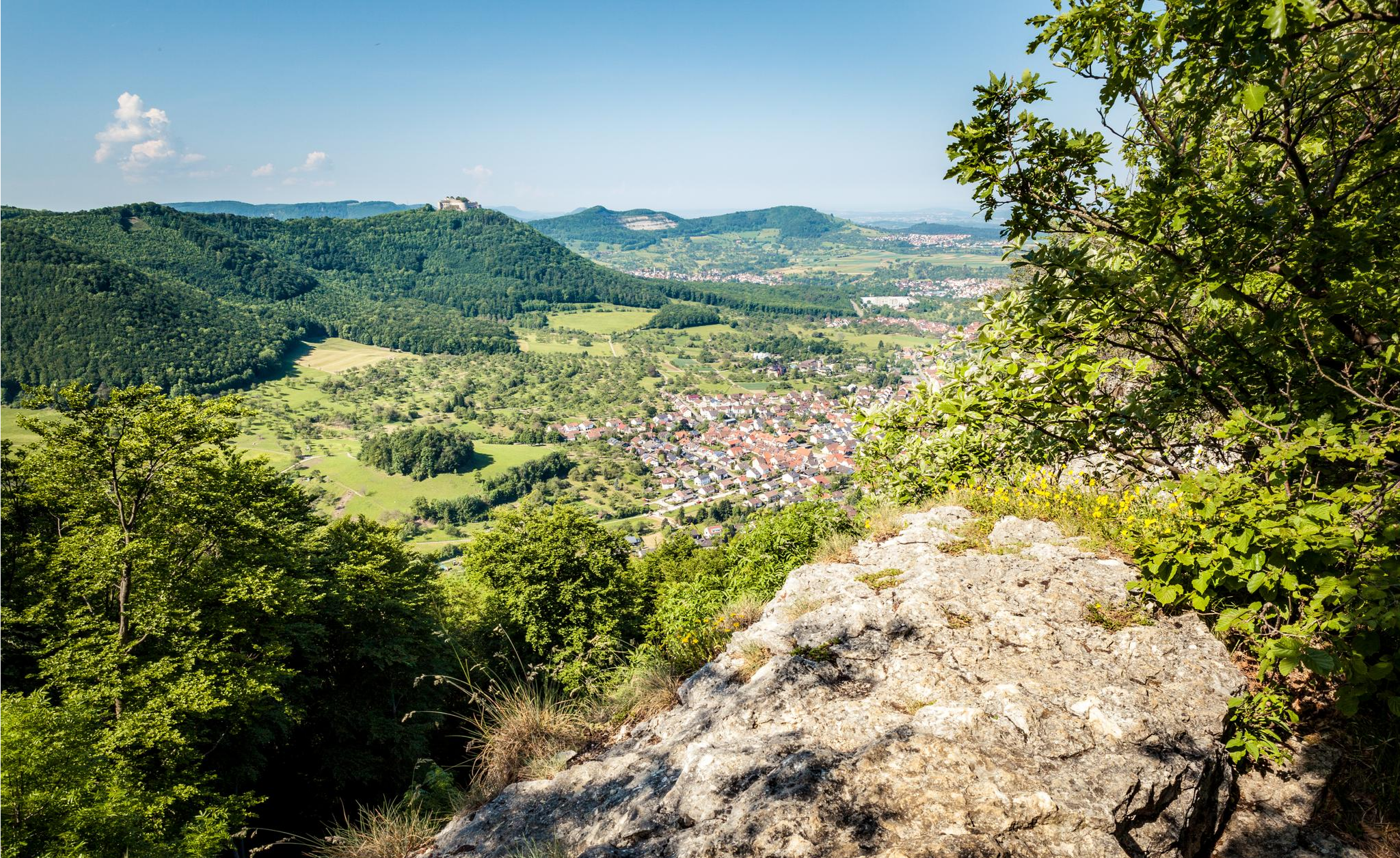
Easy hiking trails around Baltmannsweiler are set within a landscape characterized by rolling hills, idyllic valleys, and expansive forests, particularly the Schurwald. The region features diverse terrain including fertile fields and charming orchards. Natural elements like the Breitenbach Stream and the Baacher Tümpel Wetland Biotope add to the varied scenery. This area provides a network of paths suitable for exploring the natural environment.
Best easy hiking trails around Baltmannsweiler
- The most popular easy hiking route is Forester's Spring – Research…
Last updated: June 30, 2026
4.8
(24)
74
hikers
6.09km
01:45
150m
150m
Easy hike. Great for any fitness level. Easily-accessible paths. Suitable for all skill levels.
4.6
(16)
68
hikers
Easy hike. Great for any fitness level. Easily-accessible paths. Suitable for all skill levels.

Sign up for free
4.6
(14)
48
hikers
5.47km
01:33
120m
120m
Easy hike. Great for any fitness level. Easily-accessible paths. Suitable for all skill levels.
4.8
(6)
56
hikers
Easy hike. Great for any fitness level. Easily-accessible paths. Suitable for all skill levels.
4.2
(10)
41
hikers
4.75km
01:22
110m
110m
Easy hike. Great for any fitness level. Easily-accessible paths. Suitable for all skill levels.
Get access to more routes and recommendations from other explorers.
Sign up for free
Already have an account?
Our route recommendations are based on thousands of hikes, rides, and runs completed by other people on komoot.
Start today with a free account
Your next adventure awaits.
Login or Signup
Popular around Baltmannsweiler
Other adventures around Baltmannsweiler

Tips from the Community

Free parking is available at the trailhead parking lot. From there, beautiful hiking trails lead through the forest. A barbecue and picnic area is located nearby.
3
0
Nature in abundance in a metropolitan area! Information panels about the protected forest are located on the three tree trunks, which are nicely decorated with carvings (faces).
2
0
Here you'll find giant sequoia trees! They're really interesting to take a closer look at, very impressive!
2
0
A lovely barbecue and picnic area in the forest!
2
0

The barbecue area in Weinstadt-Baach consists of just a bench and a grill. It boasts a fantastic location right next to the biotope. The facility can be seen at the end of our video about the Baach trout. https://youtu.be/lEFis00M5So
0
0

... near "WE-Baach", Rems-Murr district, Baden-Württemberg. - There is a covered barbecue area - With a playground (swing and seesaw)
0
0


Barbecue area with new barbecue area
1
0
Frequently Asked Questions
How many easy hiking trails are there in Baltmannsweiler?
Baltmannsweiler offers a wide selection of easy hiking trails, with nearly 40 routes specifically categorized as easy. These trails are well-suited for various fitness levels and provide diverse scenic experiences.
What kind of terrain can I expect on easy hikes around Baltmannsweiler?
Easy hikes in Baltmannsweiler traverse a varied landscape featuring rolling hills, idyllic valleys, and expansive forests, particularly within the Schurwald. You'll encounter paths through fertile fields, charming orchards, and along natural waterways like the Breitenbach Stream and the Baacher Tümpel Wetland Biotope.
Are there any family-friendly easy hikes in Baltmannsweiler?
Yes, many of the easy trails in Baltmannsweiler are suitable for families. The region's well-maintained network includes options like the Baltmannsberg – Gschlag Trailhead Parking loop, which is shorter and has minimal elevation gain, making it ideal for a leisurely family outing.
Can I bring my dog on easy trails in Baltmannsweiler?
Yes, Baltmannsweiler is a welcoming destination for pet owners. Many of the easy trails are suitable for hiking with dogs, allowing you and your canine companion to explore the scenic forests and valleys together.
Are there circular easy hiking routes available?
Absolutely. The Baltmannsweiler area is known for its extensive network of circular trails. Many easy routes, such as the Breitenbach Stream – Path along the Breitenbach loop, are designed as loops, allowing you to start and end at the same point without retracing your steps.
What natural features or landmarks can I see on easy hikes?
On easy hikes, you can discover various natural features. Explore the Schurwald Forest, tranquil stream valleys, and wetlands like the Baacher Tümpel Wetland Biotope. For specific landmarks, consider trails that pass by the Haselstein Rock Formation or offer views from the Luitenbächer Höhe Viewpoint.
Are there any waterfalls on easy trails near Baltmannsweiler?
Yes, you can find waterfalls near Baltmannsweiler. The Tree Gate – Waterfall at Holderstein loop is an easy route that includes a waterfall. Additionally, the Grunbach Waterfall is another notable natural attraction in the wider region.
What do other hikers say about the easy trails in Baltmannsweiler?
The easy trails in Baltmannsweiler are highly regarded by the komoot community, boasting an average rating of 4.5 stars from over 700 reviews. Hikers often praise the quiet woodlands, well-marked paths, and the diverse scenery of forests, valleys, and streams.
What is the best season for easy hikes in Baltmannsweiler?
The region offers pleasant hiking experiences year-round. Spring brings blooming orchards and fresh greenery, while summer is ideal for exploring shaded forest paths. Autumn transforms the Schurwald into a vibrant display of colors, and even winter offers opportunities for peaceful walks, with nearby areas providing options for winter sports.
Are there short easy hikes suitable for beginners?
Yes, Baltmannsweiler has several short and easy routes perfect for beginners. Trails like the Baltmannsberg – Gschlag Trailhead Parking loop are under 3 miles (5 km) and feature minimal elevation, providing a gentle introduction to hiking in the area.
Are there easy hikes accessible by public transport or with parking?
Many trails in Baltmannsweiler are designed for easy access. The municipality itself offers six marked circular trails that start and end at the Kultur- und Sportzentrum, which typically has parking facilities. While specific public transport details vary by route, the comprehensive trail network often provides convenient starting points.
Where can I find viewpoints on easy trails?
While many easy trails offer pleasant forest and valley views, for more expansive vistas, you might find viewpoints such as the Luitenbächer Höhe Viewpoint. The broader region also features unique spots like the Remstal Cinema, offering panoramic views over the Weinstadt districts.
Most popular routes around Baltmannsweiler
Most popular attractions around Baltmannsweiler

Get inspired with the komoot mobile app


Explore more
Browse the best Hikes in other regions.
