Easy hikes and walks around Ratshausen
4.6
(8711)
33,055
hikers
806
hikes
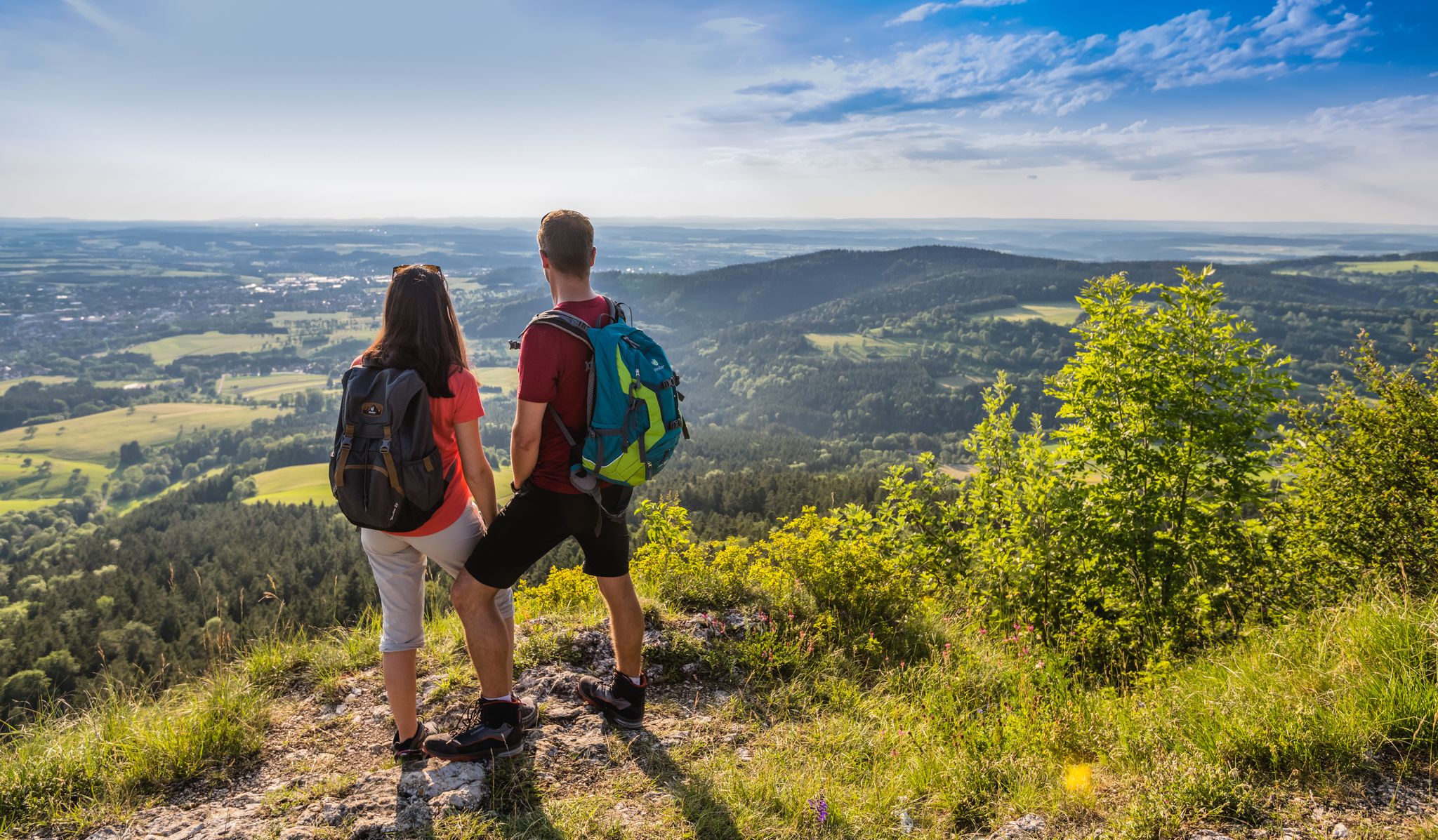
Easy hiking trails around Ratshausen traverse a landscape characterized by rolling hills, dense forests, and clear streams within the High Swabian Jura. The region features unique geological formations, including remnants of ancient volcanic activity and distinct juniper heaths. The Schlichem Valley, with its river meanders and varied forest types, offers diverse scenery for hikers.
Best easy hiking trails around Ratshausen
- The most popular easy hiking route is Montschenloch (1004 m) – Hut by the Tower loop from Ortenberg, a…
Last updated: October 17, 2026
4.4
(12)
52
hikers
Easy hike. Great for any fitness level. Easily-accessible paths. Suitable for all skill levels.
5.0
(4)
28
hikers
5.12km
01:30
150m
150m
Easy hike. Great for any fitness level. Easily-accessible paths. Suitable for all skill levels.

5.0
(4)
16
hikers
Easy hike. Great for any fitness level. Easily-accessible paths. Suitable for all skill levels.
4.4
(5)
31
hikers
Easy hike. Great for any fitness level. Easily-accessible paths. Suitable for all skill levels.
5.0
(5)
27
hikers
5.22km
01:30
120m
120m
Easy hike. Great for any fitness level. Easily-accessible paths. Suitable for all skill levels.
Get access to more routes and recommendations from other explorers.
Already have an account?
Our route recommendations are based on thousands of hikes, rides, and runs completed by other people on komoot.
Other adventures around Ratshausen

Tips from the Community

Beautiful little chapel at the hiking parking lot
0
0

On the outskirts of Hausen am Tann. Hiking parking lot (signposted) with shelter, several rest areas and a playground opposite.
0
0
The view through the frame is no longer unobstructed. There is a bench directly behind it. From here, the view is clear.
0
0

It's a good place to stop for a bite to eat. Check opening times online beforehand.
7
0
The Deilingen telecommunications tower is 65 meters high and is located on the Hohenwiese Schlichte at an altitude of 980 meters.
7
0
Beautiful views of the plateau!
8
0
From here you have a beautiful view of the EKS tower in Rottweil.
7
0
Open only on Sundays, but check online beforehand!
8
0
Frequently Asked Questions
How many easy hiking trails are available around Ratshausen?
Ratshausen offers a wide selection of easy hiking trails, with over 450 routes specifically categorized as easy. In total, there are more than 800 hiking routes in the area, catering to various skill levels.
Are there easy circular hiking routes in Ratshausen?
Yes, many easy trails around Ratshausen are circular. For example, the Montschenloch (1004 m) – Hut by the Tower loop from Ortenberg is an easy 3.7 km circular route. Another option is the St. Mary Wayside Shrine – Lourdes Chapel, Ratshausen loop from Schömberg, which is 5.2 km long and takes about 1 hour 24 minutes to complete.
What are some family-friendly easy hikes in Ratshausen?
Many easy trails in Ratshausen are suitable for families. The Montschenloch (1004 m) – Hut by the Tower loop from Ortenberg is a short, gentle option. The region's diverse landscapes, including the Schlichem Valley with its varied scenery, offer engaging experiences for all ages. The nearby SchieferErlebnis Dormettingen also provides an interactive nature and leisure park experience.
Can I bring my dog on easy hiking trails in Ratshausen?
Generally, dogs are welcome on hiking trails in the Ratshausen area. The region's dense forests and river valleys provide excellent opportunities for walks with your canine companion. However, it's always advisable to keep dogs on a leash, especially in nature reserves like Tiefer Weg, and to respect local regulations and wildlife.
What kind of natural landscapes can I expect on easy hikes around Ratshausen?
Easy hikes around Ratshausen traverse the picturesque High Swabian Jura, characterized by rolling hills, dense forests, and clear streams. You'll encounter unique geological formations, including remnants of ancient volcanic activity, and distinct juniper heaths. The Schlichem Valley offers varied scenery with river meanders and diverse forest types.
Are there any viewpoints or panoramic spots on easy trails?
While some of the highest peaks like Plettenberg and Lemberg offer extensive views, many easy trails provide charming vistas of the Swabian Jura. The region's rolling hills and forest clearings often open up to scenic outlooks. For grander panoramic views, you might consider slightly more challenging sections of trails that lead to higher elevations, where on clear days, the Alps can even be visible.
What interesting attractions or landmarks can I see near easy hiking trails?
Near easy hiking trails, you can explore various natural and historical landmarks. The Felsenmeer (Swabian Jura) and Split Rock on Schafberg offer unique geological formations. You can also find historical sites like the Oberhohenberg Observation Platform (Hohenberg Castle) or the Schalksburg Tower Ruins, providing glimpses into the region's past.
What do other hikers enjoy the most about hiking in Ratshausen?
The hiking trails around Ratshausen are highly rated by the komoot community, with an average score of 4.6 stars from over 7,600 reviews. Hikers often praise the quiet woodlands, the varied natural habitats, and the well-maintained paths that make for enjoyable and accessible outdoor experiences.
Are there any nature reserves accessible via easy hikes?
Yes, portions of federally protected nature reserves are within Ratshausen's municipal boundaries. The Höllengraben – Tiefer Weg Nature Reserve loop from Hausen am Tann is an easy 5.1 km path that leads directly through the protected Tiefer Weg nature reserve, showcasing its varied natural habitats and biodiversity.
What is the best time of year for easy hiking in Ratshausen?
The Swabian Alb region, including Ratshausen, is beautiful throughout the warmer months, typically from spring to autumn. Spring brings blooming wildflowers, while autumn offers vibrant foliage. Summer provides pleasant temperatures for forest walks. While winter hiking is possible, some paths might be slippery or covered in snow, requiring appropriate gear.
Are there easy sections of the Schlichem Hiking Trail near Ratshausen?
The 33 km Schlichem Hiking Trail, which follows the Schlichem river, features varied terrain. Many sections near Ratshausen are relatively easy, offering gentle paths through the valley's diverse geological formations and natural habitats. These sections are characterized by grass paths, forest tracks, and some paved or gravel sections, making them suitable for less experienced hikers.
Where can I find parking for easy hiking trails in Ratshausen?
Parking is generally available at trailheads and in the villages surrounding Ratshausen, such as Ortenberg or Hausen am Tann, which serve as starting points for many easy routes. Specific parking information is often detailed on individual route pages on komoot, helping you plan your starting point.
Are there cafes or pubs along easy hiking routes in Ratshausen?
While many easy routes traverse natural landscapes, you can often find cafes or pubs in Ratshausen itself or in nearby villages like Schömberg. It's a good idea to check the specific route details or local village information beforehand to plan for refreshment stops along your hike.
Most popular attractions around Ratshausen

Get inspired with the komoot mobile app


Explore more
Browse the best Hikes in other regions.
