Easy hikes and walks around Beverstedt
4.3
(155)
565
hikers
85
hikes
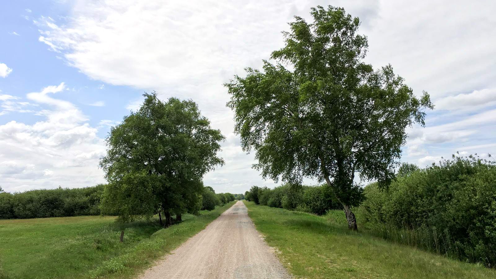
Easy hiking trails around Beverstedt, located in Lower Saxony, Germany, traverse a landscape characterized by forests, meadows, and river valleys. The region features diverse natural areas including the Landschaftsschutzgebiet Beverstedt and Beverstedt Heath, offering varied terrain for outdoor exploration. Trails often follow rivers like the Lune and wind through idyllic forests and moors, providing accessible paths for hikers.
Best easy hiking trails around Beverstedt
- The most popular easy hiking route is Wellener Rauschebach loop from Wellen, a 2.3 miles…
Last updated: October 3, 2026
3.0
(1)
9
hikers
3.72km
00:57
10m
10m
Easy hike. Great for any fitness level. Easily-accessible paths. Suitable for all skill levels.
5.0
(1)
18
hikers
Easy hike. Great for any fitness level. Easily-accessible paths. Suitable for all skill levels.

5.0
(2)
10
hikers
7.37km
01:52
20m
20m
Easy hike. Great for any fitness level. Easily-accessible paths. Suitable for all skill levels.
5.0
(1)
5
hikers
6.03km
01:33
20m
20m
Easy hike. Great for any fitness level. Easily-accessible paths. Suitable for all skill levels.
3.7
(3)
13
hikers
Easy hike. Great for any fitness level. Easily-accessible paths. Suitable for all skill levels.
Get access to more routes and recommendations from other explorers.
Already have an account?
Our route recommendations are based on thousands of hikes, rides, and runs completed by other people on komoot.
Start today with a free account
Your next adventure awaits.


Tips from the Community


Pretty corner with a small lake and an ancient oak tree.
0
0

Beautiful, quiet RV parking space in a rural setting. Free, with electricity, water, and waste disposal. Shops nearby.
0
0
Take a break with a beautiful view of the floodplain. Or simply relax, breathe deeply, and enjoy the silence.
0
0

Revitalization of the Billerbeck Development goal The Billerbeck and the adjacent floodplain areas should develop into a natural habitat that is valuable for flora and fauna and typical of the natural area. The model for the stream is a natural and structurally rich Geest stream that can develop dynamically after its creation (taking water management concerns into account). The stream: The Billerbeck is an originally gravel-filled lowland stream and a tributary of the Lune with a length of around 11 km and a catchment area of around 41.33 km². Before the compensation measures were carried out, the Billerbeck was a straightened, deepened body of water that mainly ran in a standard profile and therefore had little structural diversity and hardly any plant growth in the water. The following measures were used to initially create the natural and diverse structure: -> relocation of the course of the water in a meander and creation of diverse water cross-sections > installation of gravel in sections as a natural bed substrate > installation of dead wood, base sills and flow guides to raise the bed and increase structural diversity > construction of sand traps to reduce harmful sand deposits in the stream > natural redesign of the Stubbengraben and Oldendorfer Bach tributaries. The floodplain area: In the floodplain area on both sides of the Billerbeck, a mosaic of different habitats is planned, each characterized by a high degree of moisture and low intensity of use or no use at all. The following habitat types are to be developed: mesophilic grassland, wet and wet grassland, moist to wet woodland, fallow land, reed beds and temporary and permanent still waters. As part of the construction work, still waters and clearings with different depths and woody plantings were created. Extensive use is also intended to create species-rich grassland habitats. In addition, fallow areas are planned that can develop without any use at all. The design and implementation plan for the measures was drawn up by the engineering group agwa GmbH from Hanover. The structural implementation was carried out by ARGE CSK Schlichtmann Kulturbau GmbH / Georg Grube GmbH, which also took care of the construction of these signs and the forest sofa.
0
0

Observation tower for a break
1
0

Peat was mined here and shipped via canals to Bremerhaven
0
0
Frequently Asked Questions
How many easy hiking trails are available around Beverstedt?
Beverstedt offers a wide selection of easy hiking trails, with over 50 routes specifically categorized as easy. In total, there are more than 90 hiking routes in the area, catering to various preferences.
What kind of landscapes can I expect on easy hikes around Beverstedt?
Easy hikes around Beverstedt traverse diverse landscapes, including serene forests, open meadows, and picturesque river valleys. You'll find trails winding through the Franzhorn Forest, alongside rivers like the Lune, and across the unique Beverstedt Heath. The region also features moors and areas like the Landschaftsschutzgebiet Beverstedt, offering varied natural beauty.
Are there any family-friendly easy walks in Beverstedt?
Yes, many easy trails in Beverstedt are suitable for families. The gentle terrain and well-maintained paths make them ideal for all ages. For example, the Wellener Rauschebach loop from Wellen is a short, easy 2.3-mile (3.7 km) route that takes less than an hour, perfect for a family outing.
Can I bring my dog on the easy hiking trails in Beverstedt?
Most easy hiking trails in Beverstedt are dog-friendly, allowing you to enjoy the natural surroundings with your canine companion. It's always recommended to keep dogs on a leash, especially in nature protection areas or near wildlife, and to respect local regulations.
Are there circular routes available for easy hikes?
Yes, many of the easy hiking trails in Beverstedt are designed as circular routes, offering convenient starting and ending points. For instance, the Wellener Rauschebach – Pond with Ancient Oak loop from Wellen is an easy 3.7-mile (6.0 km) circular path with scenic views.
What are some interesting natural features or landmarks to see on these trails?
You can discover several interesting natural features and landmarks. Highlights include the Alte Luneschleuse (Norder Lune Lock), the tranquil Silbersee near Wehdel, and the historic Oste-Hamme Canal. The region also features natural monuments like the Eichholz Dolmen and the Hagener Königsmoor Observation Tower.
Where can I find parking for easy hikes in Beverstedt?
Many trailheads for easy hikes in Beverstedt offer designated parking areas. For example, the Motorhome Parking at Waldbad – View of the Billerbeck loop from Stubben suggests a starting point with parking facilities. It's advisable to check specific route details for parking information before you go.
What is the typical terrain like on easy hikes in Beverstedt?
The terrain on easy hikes in Beverstedt is generally gentle, characterized by flat or gently rolling paths through forests, meadows, and along riverbanks. Elevation changes are minimal, making these routes accessible and comfortable for beginners and those seeking a relaxed walk.
Are there any easy hikes that offer a chance to see wildlife?
Yes, the diverse ecosystems around Beverstedt, including heathlands, forests, and moors, provide opportunities to observe local wildlife. Keep an eye out for various bird species, small mammals, and insects, especially in quieter areas like the Großen Moor or along river paths.
What do other hikers say about the easy trails in Beverstedt?
The easy trails in Beverstedt are highly regarded by the komoot community, with an average rating of 4.4 stars from over 110 reviews. Hikers often praise the peaceful atmosphere, the variety of landscapes, and the well-maintained paths that make for an enjoyable outdoor experience.
Are there any short easy walks suitable for a quick outing?
Absolutely. If you're looking for a quick and easy walk, the Wellener Rauschebach loop from Wellen is an excellent choice. It's only 2.3 miles (3.7 km) long and can be completed in under an hour, offering a refreshing break in nature.
What is the best time of year to go on easy hikes in Beverstedt?
Beverstedt offers pleasant hiking experiences throughout the year. Spring brings blooming flora, summer provides lush green landscapes, and autumn showcases vibrant fall colors. Even in winter, the forests and moors can be beautiful, though some paths might be muddy. The Lüneburger Heide, accessible nearby, is particularly stunning during its blooming season in late summer.
Can you recommend an easy hike that follows a river?
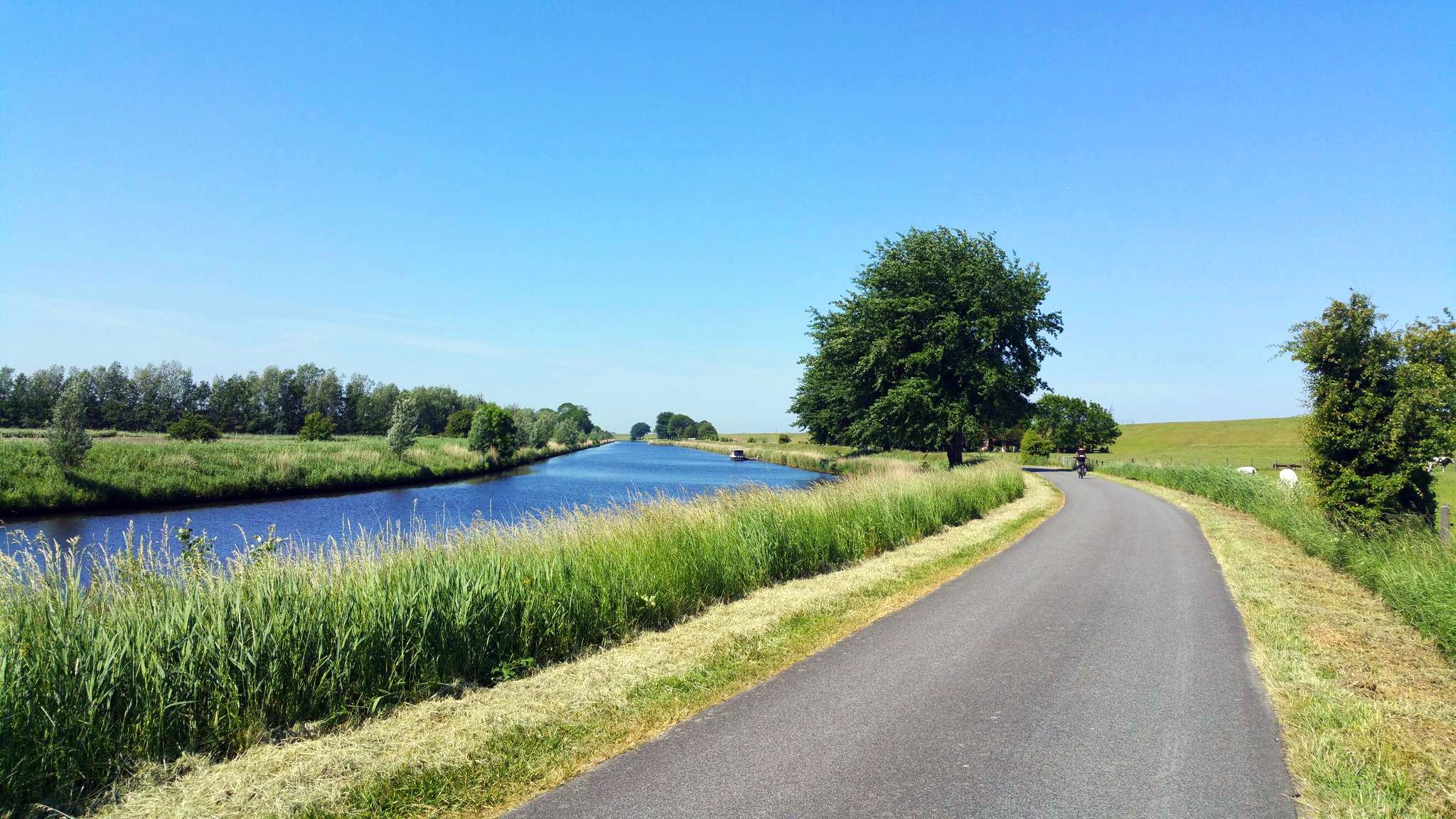
For an easy hike along a river, consider routes that follow the Lune. The Kramelheide Intersection – Lune River loop from Beverstedt is an easy 4.5-mile (7.3 km) trail that takes you along the scenic Lune River, offering lovely views of the surrounding countryside.
Most popular routes around Beverstedt
Most popular attractions around Beverstedt

Get inspired with the komoot mobile app


Explore more
Browse the best Hikes in other regions.
