Easy hikes and walks around Friedrichstadt
4.6
(866)
3,131
hikers
41
hikes
Easy hiking trails around Friedrichstadt are characterized by a flat, riverine landscape, with numerous canals and waterways defining the terrain. The town is nestled between the Eider and Treene rivers, offering unique urban and natural walking experiences. Hikers can explore extensive marshlands along the Eider dike and tranquil paths beside the Treene River. The region's low elevation ensures gentle gradients, making it suitable for accessible outdoor activities.
Best easy hiking trails around Friedrichstadt
- The most popular easy hiking route is Blue Bridge Friedrichstadt loop from Friedrichstadt, a 4.1 miles (6.7 km) trail that takes 1 hour 41 minutes to complete, offering views of the town's waterways.
- Another top favourite among local hikers is Friedrichstadt Market Square – Friedrichstadt canals loop from Friedrichstadt, an easy 4.5 miles (7.2 km) path that explores the historic market square and the town's distinctive canals.
- Local hikers also love the View of the Treene River – Blue Bridge Friedrichstadt loop from Friedrichstadt, a 4.7 miles (7.5 km) trail leading through riverine scenery, often completed in about 1 hour 54 minutes.
- Hiking around Friedrichstadt is defined by river landscapes, marshlands, and a network of canals. The region offers a variety of routes suitable for different ability levels, with a strong focus on easy hiking trails.
- The routes in Friedrichstadt are highly rated by the komoot community with an average score of 4.6 stars from over 700 reviews. More than 2,800 hikers have used komoot to explore Friedrichstadt's varied terrain.
Last updated: October 17, 2026
4.7
(159)
692
hikers
Easy hike. Great for any fitness level. Easily-accessible paths. Suitable for all skill levels.
4.3
(23)
96
hikers
Easy hike. Great for any fitness level. Easily-accessible paths. Suitable for all skill levels.

4.5
(17)
54
hikers
Easy hike. Great for any fitness level. Easily-accessible paths. Suitable for all skill levels.
5.0
(1)
15
hikers
Easy hike. Great for any fitness level. Easily-accessible paths. Suitable for all skill levels.
4.8
(4)
22
hikers
4.72km
01:12
10m
10m
Easy hike. Great for any fitness level. Easily-accessible paths. Suitable for all skill levels.
Get access to more routes and recommendations from other explorers.
Already have an account?
Our route recommendations are based on thousands of hikes, rides, and runs completed by other people on komoot.
Start today with a free account
Your next adventure awaits.
Popular around Friedrichstadt
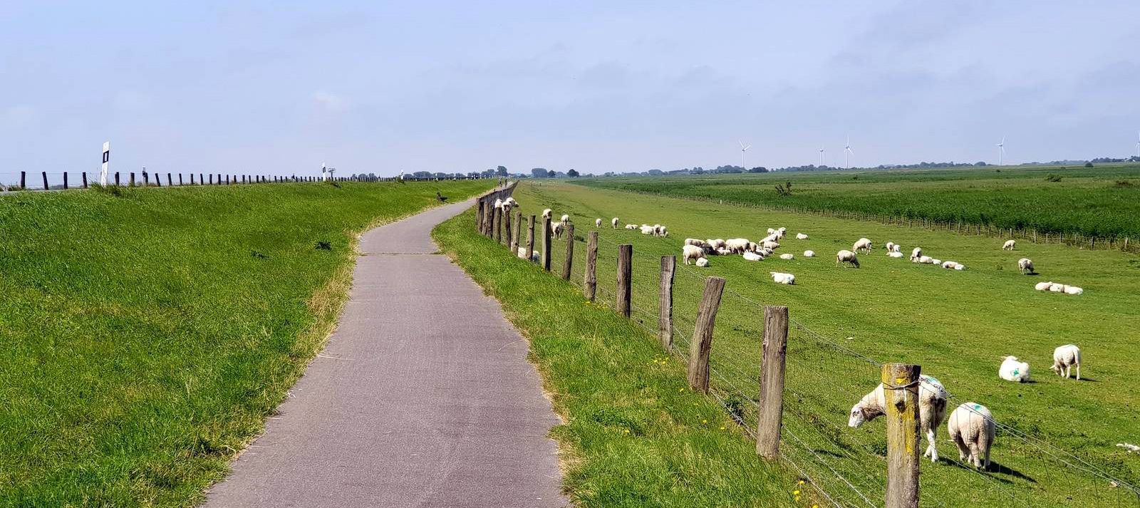
The Schleswig-Holstein Cheese Road in 8 stages
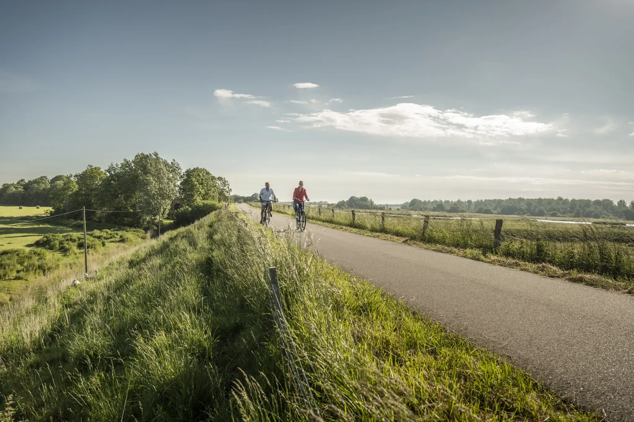
Coast to Coast on historic trails – Viking-Frisian Route
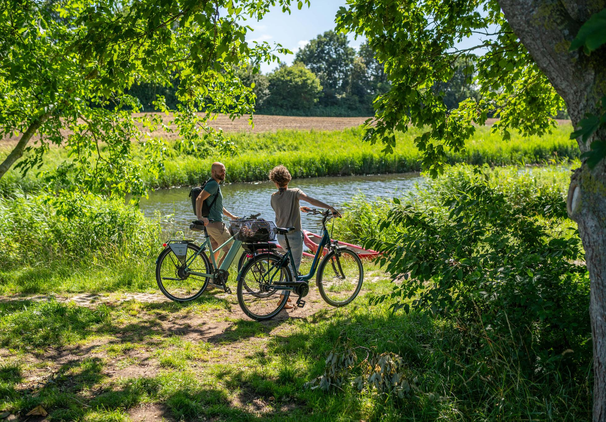
Cycling on the Eider-Treene-Sorge cycle route through the far north
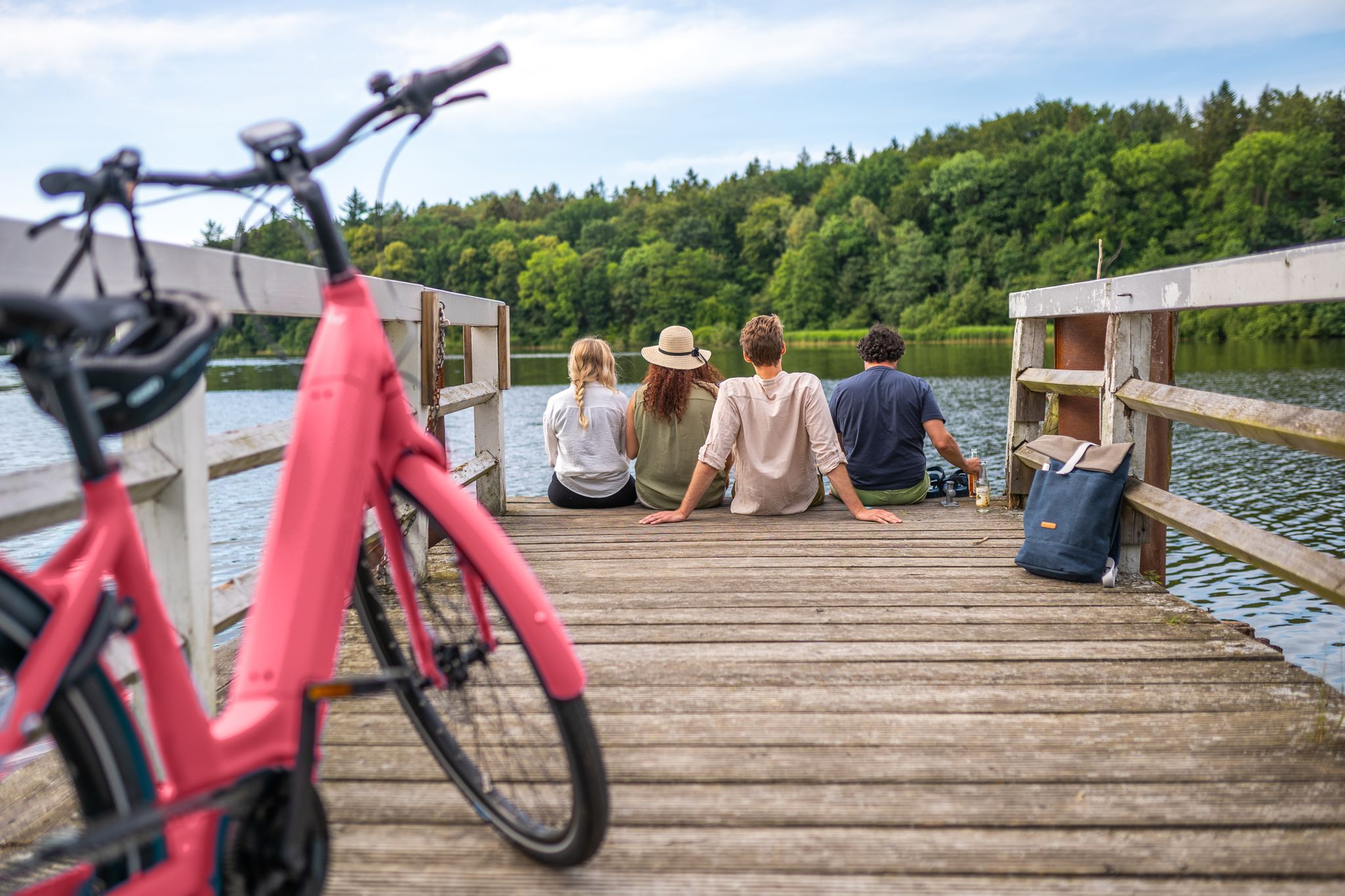
2,919 kilometres of adventure – cycling trails in Schleswig-Holstein
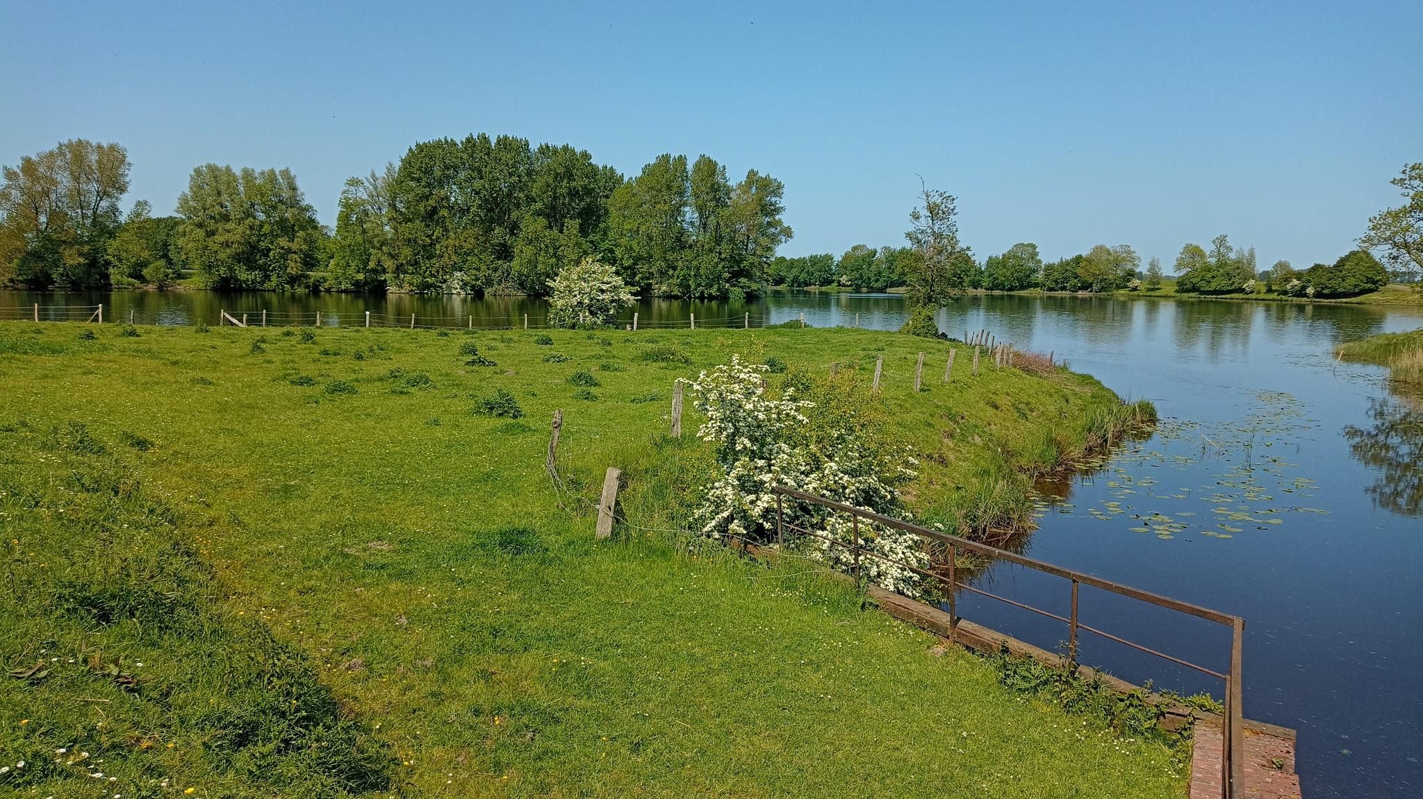
Explore North Frisia in Germany – Eider-Treene-Sorge cycle route
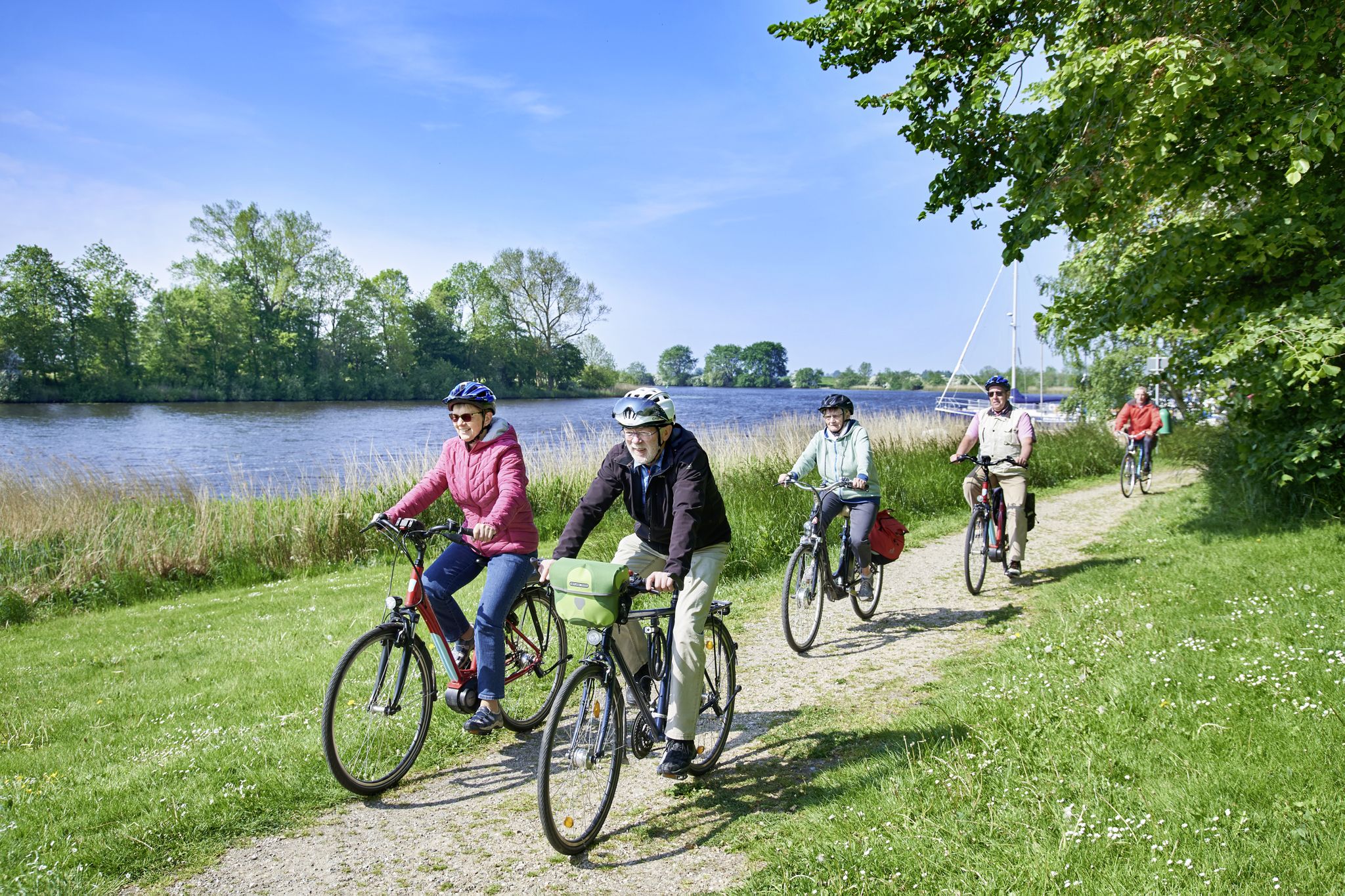
Kleeblatt-Routen am Eider-Treene-Sorge-Radweg
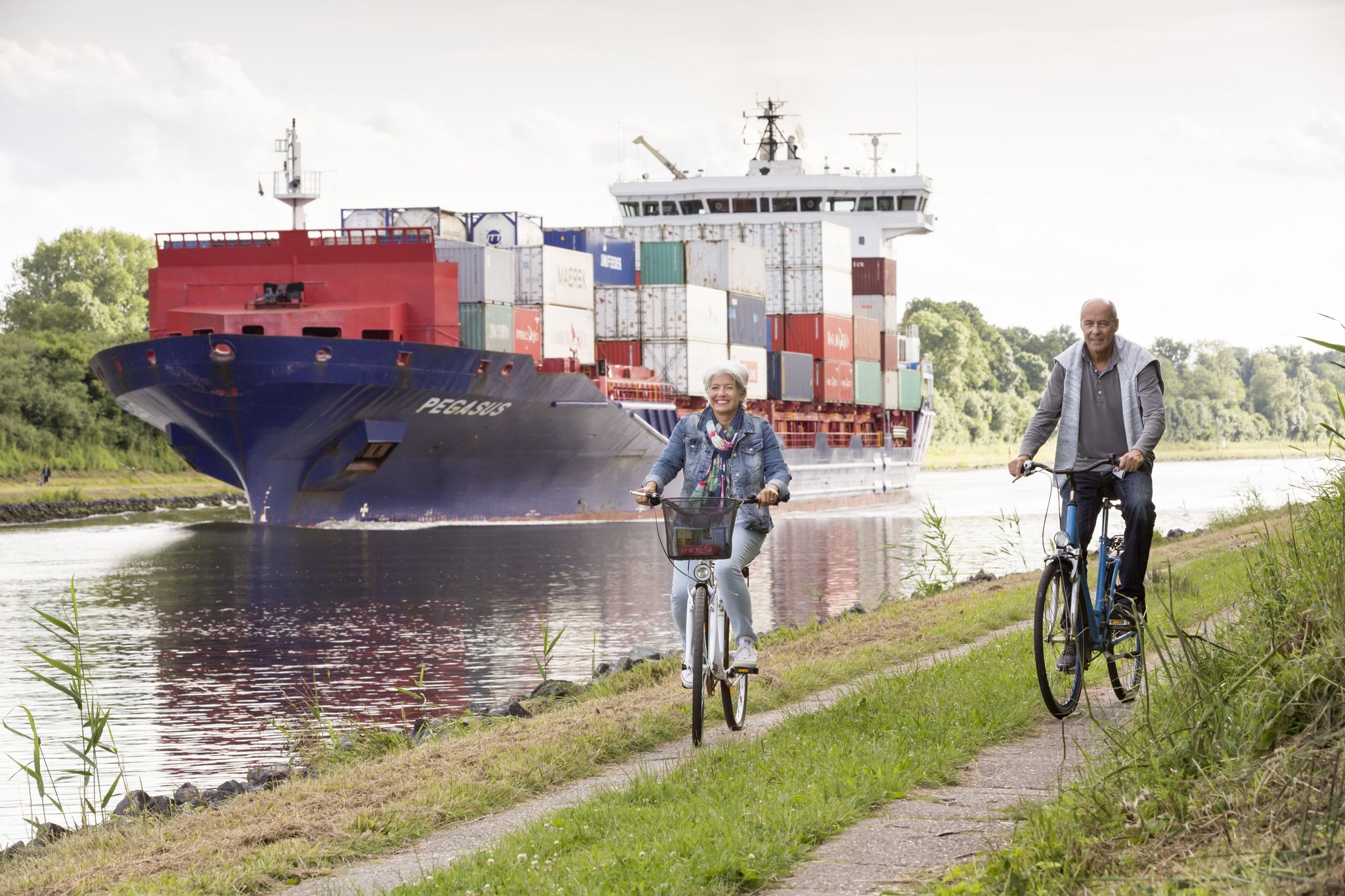
Radfernwege im Binnenland Schleswig-Holstein
Other adventures around Friedrichstadt


Tips from the Community

Beautiful old town, dotted with some "junk" shops, restaurants, and ice cream parlors.
2
0

There are many beautiful houses here.
0
0

Colorful unusual house front
0
0

The Martplatz is the center of Friedrichstadt and has a special charisma due to the design of the houses.
2
0

Frequently Asked Questions
How many easy hiking trails are available around Friedrichstadt?
Friedrichstadt offers a good selection of easy hiking trails, with over 25 routes specifically categorized as easy. In total, there are nearly 40 hiking tours in the area, catering to various preferences.
What kind of terrain can I expect on easy hikes in Friedrichstadt?
Easy hikes around Friedrichstadt are characterized by a flat, riverine landscape, with numerous canals and waterways defining the terrain. You'll find paths along the Eider dike, offering views of extensive marshlands, and tranquil routes beside the Treene River. The region's low elevation ensures gentle gradients, making it ideal for accessible outdoor activities.
What is the best time of year for easy hikes in Friedrichstadt?
The best times for hiking in Friedrichstadt are spring and summer, when the landscape flourishes with greenery. Autumn also offers a picturesque experience, often bringing a mystical mist over the rivers. The flat terrain makes many trails enjoyable year-round, weather permitting.
Are there any interesting landmarks or sights to see on easy hikes in Friedrichstadt?
Yes, many easy hikes in Friedrichstadt pass by notable landmarks and natural features. You can explore the historic Friedrichstadt Market Square with its distinctive stepped-gable houses, or see the unique The Crooked House. Natural highlights include the Moor Nature Trail at Wildes Moor Nature Reserve and the Observation Tower Lundener Niederung.
What do other hikers say about the easy trails in Friedrichstadt?
The easy hiking trails in Friedrichstadt are highly rated by the komoot community, with an average score of 4.5 stars from over 200 reviews. More than 1,000 hikers have used komoot to explore the area, often praising the scenic river landscapes and the charming town atmosphere.
Are there easy circular hiking routes in Friedrichstadt?
Yes, Friedrichstadt offers several easy circular routes. A popular option is the Blue Bridge Friedrichstadt loop from Friedrichstadt, which is about 3.5 miles (5.7 km) and takes under 1.5 hours. Another great choice is the View of the Treene River – View of the Fürstenburg Canal loop from Friedrichstadt, a 3.2-mile (5.2 km) route.
Are the easy hiking trails in Friedrichstadt suitable for families?
Absolutely. The flat terrain and well-maintained paths make the easy hiking trails around Friedrichstadt very suitable for families with children. Many routes offer gentle walks along canals and through the town, providing an enjoyable experience for all ages. The Eider dike also offers fresh air and open spaces for family walks.
Can I bring my dog on easy hikes around Friedrichstadt?
Yes, many easy trails in Friedrichstadt are dog-friendly. The open dikes and river paths provide ample space for walks with your canine companion. However, it's always recommended to keep dogs on a leash, especially in nature reserves or areas with livestock, and to be mindful of local regulations.
How long do easy hikes around Friedrichstadt typically take?
Easy hikes in Friedrichstadt vary in length and duration. For example, the Friedrichstadt Market Square – Friedrichstadt canals loop from Friedrichstadt is about 2.1 miles (3.4 km) and can be completed in just over 1 hour. Longer easy routes, such as the View of the Treene River – Blue Bridge Friedrichstadt loop from Friedrichstadt, are around 4.7 miles (7.5 km) and typically take under 2 hours.
Are there options for public transport to reach hiking trailheads in Friedrichstadt?
Friedrichstadt is well-connected, and many easy hiking trails start directly within the town or are easily accessible from the town center, which can be reached by public transport. For specific routes outside the immediate town, local bus services might connect to nearby villages, providing access to trailheads. It's advisable to check local transport schedules for detailed planning.
Where can I find parking for easy hiking trails in Friedrichstadt?
Parking is generally available in and around Friedrichstadt, especially near the town center and main attractions. Many easy trails start directly from the town, where public parking lots are usually present. For trails further afield, look for designated parking areas near popular starting points or nature reserves.
Are there any easy trails that pass by cafes or pubs?
Given Friedrichstadt's charming town setting, many easy walks, particularly those within or close to the town center, will naturally pass by cafes, restaurants, and pubs. The Friedrichstadt Market Square – Friedrichstadt canals loop from Friedrichstadt, for instance, explores the historic market square, offering plenty of opportunities for a break.
Most popular routes around Friedrichstadt
Most popular attractions around Friedrichstadt

Get inspired with the komoot mobile app


Explore more
Browse the best Hikes in other regions.
