Easy hikes and walks around Markneukirchen
4.6
(1414)
4,835
hikers
299
hikes
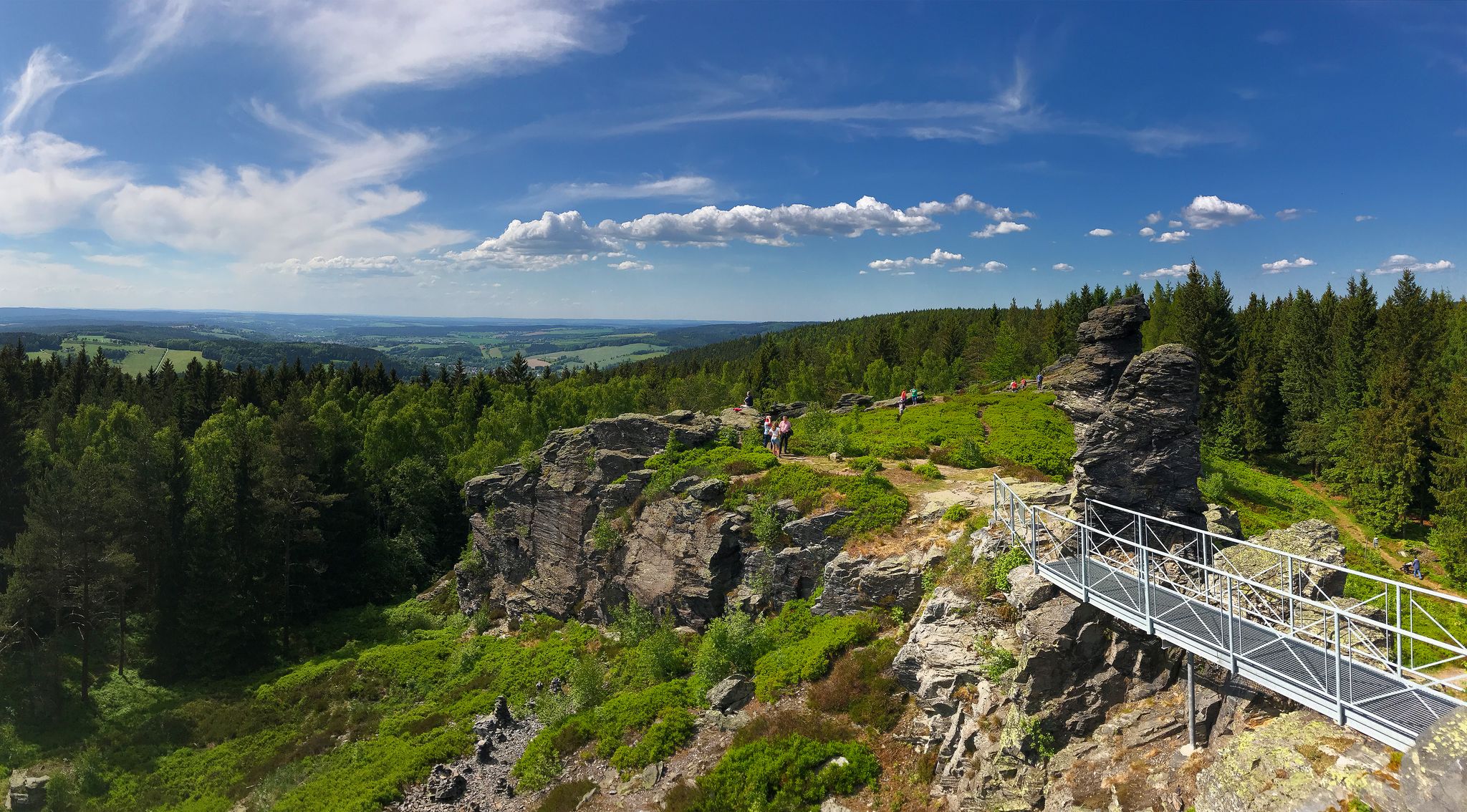
Easy hiking trails around Markneukirchen traverse a landscape characterized by hilly terrain, natural forests, and serene river valleys. The region, part of the Vogtland, offers routes through green mountain meadows and past notable features like the Hoher Stein. These paths provide opportunities to explore the area's diverse natural features, including the Poetenwald and various stream valleys.
Best easy hiking trails around Markneukirchen
- The most popular easy hiking route is Rock formation High Stone – Chapel at Hoher Stein loop from…
Last updated: October 3, 2026
4.8
(42)
140
hikers
6.19km
01:52
200m
200m
Easy hike. Great for any fitness level. Easily-accessible paths. Suitable for all skill levels.
4.9
(15)
35
hikers
5.62km
01:33
100m
100m
Easy hike. Great for any fitness level. Easily-accessible paths. Suitable for all skill levels.

4.6
(10)
33
hikers
Easy hike. Great for any fitness level. Easily-accessible paths. Suitable for all skill levels.
3.7
(3)
47
hikers
5.89km
01:32
40m
40m
Easy hike. Great for any fitness level. Easily-accessible paths. Suitable for all skill levels.
4.1
(7)
26
hikers
4.70km
01:16
60m
60m
Easy hike. Great for any fitness level. Easily-accessible paths. Suitable for all skill levels.
Get access to more routes and recommendations from other explorers.
Already have an account?
Our route recommendations are based on thousands of hikes, rides, and runs completed by other people on komoot.
Start today with a free account
Your next adventure awaits.

Other adventures around Markneukirchen

Tips from the Community

One of several (at least five until 1945) contemporary boundary stones on an approximately ten-kilometer long section that separated the lordships of Graslitz and Schönbach from Electoral Saxony in the 16th century. The stone was supposed to be transported to a museum in Prague in the 1980s, but it could be proven that it had been paid for by Saxony at the time.
0
0
A monument can be found on the outer wall of the church. It bears the names of the fallen from all three wars. The center is designed as a large curved plate, which bears the dedications and, in the center, an Iron Cross. Below it are the names of the fallen from the war of 1870/71.http://www.denkmalprojekt.org/2021/erlbach_stadt-markneukirchen_vogtlandkreis_70-71_sx.html
0
0
In the village, an evangelical church was built in 1863, which has no name and to which its own parish and a cemetery belong.https://de.wikipedia.org/wiki/Erlbach_(Markneukirchen) History of the church: https://kirchgemeinde-markneukirchen.de/kirche-erlbach/
0
0

Great architecture and views of Vogtland and Erzgebirge. The smallest viewing tower on the tour :)
0
0

Beautiful view and a good resting place!
0
0

The place Stein existed here with at times over 280 inhabitants until 1946 and fell into disrepair after the Czechs had expelled the Germans living there.
1
0

The small marketplace of Erlbach unfortunately no longer has any gastronomy (in 2026). The inn is closed.
0
0
Contrary to the advertisement on the building, there's been no coffee for a long time.
0
0
Frequently Asked Questions
How many easy hiking trails are available around Markneukirchen?
Markneukirchen offers a wide selection of easy hiking trails, with over 130 routes specifically categorized as easy. In total, there are more than 300 hiking routes in the area, catering to various preferences and skill levels.
Are there circular hiking routes suitable for easy walks?
Yes, the Markneukirchen area features several well-marked circular routes perfect for easy walks. For example, you can explore a circular hike south of Markneukirchen that offers panoramic views, or a northern circular hike through the idyllic Poetenwald.
What kind of landscapes and views can I expect on easy hikes in Markneukirchen?
Easy hikes around Markneukirchen traverse a diverse landscape of hilly terrain, natural forests, and serene river valleys. You'll find expansive green mountain meadows and trails leading to elevated points offering breathtaking panoramic views, such as those from the prominent Hoher Stein rock formation. The region's 'Symphony of Nature' ethos ensures scenic variety.
Are the easy hiking trails in Markneukirchen suitable for families?
Yes, many of the easy hiking trails are well-suited for families. The routes are generally not too long and feature manageable elevation changes, making them enjoyable for all ages. The natural forests and river valleys provide a pleasant environment for a family outing.
Can I bring my dog on the easy hiking trails?
The natural environment of Markneukirchen, with its forests and open meadows, is generally welcoming for dogs. Most easy trails are suitable for walks with your canine companion, but it's always advisable to keep dogs on a leash, especially in nature protection areas or near wildlife.
What are some notable natural features or viewpoints I can see on an easy hike?
On an easy hike, you can encounter several natural highlights. The Aschberg Observation Tower and Kapellenberg Lookout Tower offer magnificent distant views. The Hoher Stein rock formation is a prominent natural landmark, and the tranquil Poetenwald forest provides a peaceful setting. You can also find trails leading through picturesque river and stream valleys like the Bärenwinkel.
Are there any historical sites or landmarks along the easy hiking routes?
Yes, some easy hiking routes in the Markneukirchen area pass by historical sites. You might encounter monuments like the "Alte Schanze," a post-medieval border trench, or the Bismarck Column, which offers wide views over the hiking area. The town itself also features historic buildings from the 16th to 19th centuries.
What do other hikers say about the easy trails in Markneukirchen?
The easy hiking trails in Markneukirchen are highly regarded by the komoot community, with an average rating of 4.6 stars from over 1200 reviews. Hikers often praise the well-maintained and clearly marked paths, the diverse natural scenery, and the accessibility of the routes for various fitness levels.
Are there any easy trails that lead to or pass by a place to stop for refreshments?
While specific cafes directly on every trail are not guaranteed, some routes, like the Hinterer Floßteich – Hotel Schwarzbachtal loop from Landesgemeinde, may pass near hotels or guesthouses that offer refreshments. The Musical Instrument Museum in Markneukirchen also serves as a common starting or end point for local hikes, providing a cultural highlight before or after your walk.
What is the typical length and duration of an easy hike in Markneukirchen?
Easy hikes in Markneukirchen vary in length, but many are designed to be completed within a few hours. For instance, the Rock formation High Stone – Chapel at Hoher Stein loop from Vysoký kámen is about 6.2 km (3.8 miles) and takes approximately 1 hour 51 minutes. The St. Laurentius Church Landwüst loop from Rauner- und Haarbachtal is shorter at 3.8 km (2.4 miles), typically completed in about 1 hour.
Are there any easy trails that offer views of the town of Markneukirchen?
Yes, some easy trails lead to elevated points that provide views over the city of Markneukirchen. The Bismarck Column, for example, is accessible via hiking trails and offers a wide view over the hiking area and the town, rewarding hikers with a scenic panorama.
What is the best time of year for easy hiking in Markneukirchen?
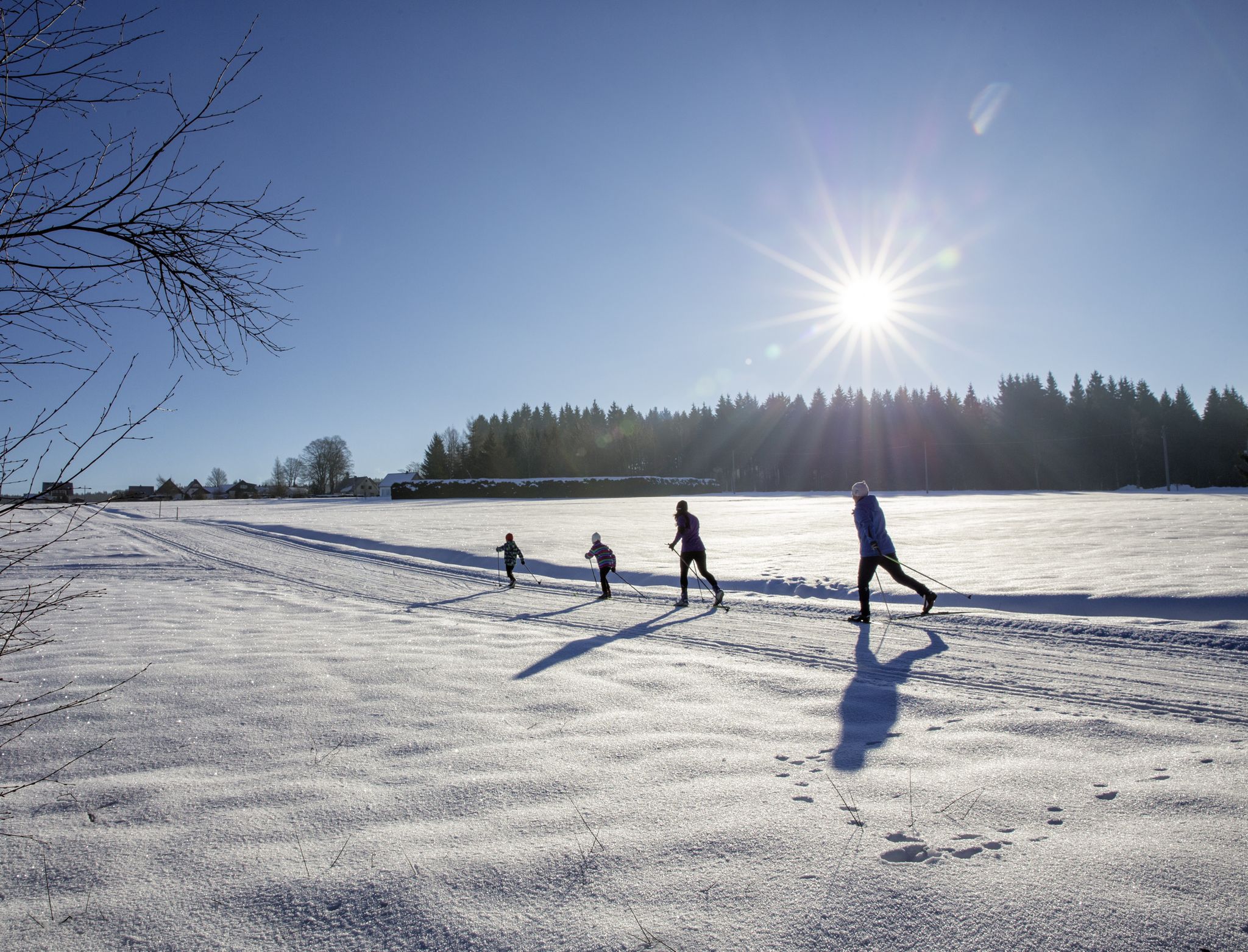
The Vogtland region, including Markneukirchen, is beautiful throughout the year. Spring brings blooming meadows and fresh greenery, while summer offers pleasant temperatures for exploring forests and valleys. Autumn transforms the landscape with vibrant colors, and even in winter, well-maintained paths can provide serene, snowy walks. Always check local weather conditions before heading out.
Most popular routes around Markneukirchen
Most popular attractions around Markneukirchen

Get inspired with the komoot mobile app


Explore more
Browse the best Hikes in other regions.
