Easy hikes and walks around Grävenwiesbach
4.5
(213)
856
hikers
95
hikes
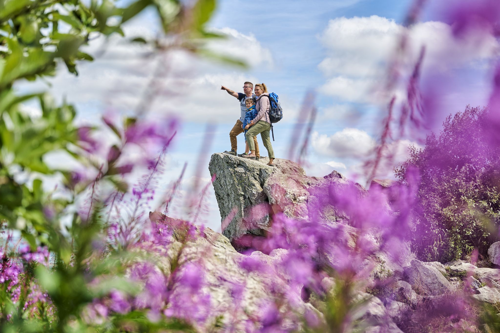
Easy hiking trails around Grävenwiesbach are situated within Germany's Hochtaunus region, part of the Taunus Mountains. The area is characterized by rolling hills, dense forests, and scenic valleys such as the Wiesbach, Usa, and Michelbach. Hikers can expect varied terrain, including peaceful forest paths and occasional impressive rock formations like the Eschbach Cliffs.
Best easy hiking trails around Grävenwiesbach
- The most popular easy hiking route is Quadersbachtal – Shaded Spot by the Weil River loop from Heinzenberg, a 4.0…
Last updated: October 17, 2026
4.5
(14)
39
hikers
6.39km
01:49
140m
140m
Easy hike. Great for any fitness level. Easily-accessible paths. Suitable for all skill levels.
4.0
(6)
36
hikers
Easy hike. Great for any fitness level. Easily-accessible paths. Suitable for all skill levels.

4.2
(5)
28
hikers
Easy hike. Great for any fitness level. Easily-accessible paths. Suitable for all skill levels.
3.5
(4)
19
hikers
5.87km
01:37
100m
100m
Easy hike. Great for any fitness level. Easily-accessible paths. Suitable for all skill levels.
5.0
(1)
19
hikers
5.47km
01:30
90m
90m
Easy hike. Great for any fitness level. Easily-accessible paths. Suitable for all skill levels.
Get access to more routes and recommendations from other explorers.
Already have an account?
Our route recommendations are based on thousands of hikes, rides, and runs completed by other people on komoot.
Start today with a free account
Your next adventure awaits.
Popular around Grävenwiesbach
Other adventures around Grävenwiesbach

Tips from the Community

But only works in good weather
0
0

Very beautiful former railway bridge.
2
0
An important place to remember the crimes of the National Socialists and how much suffering happened back then. That should never be forgotten.
3
0
A beautiful place to remember the suffering that was caused back then. This should never be forgotten.
1
0

The 1.32 km long tunnel between Grävenwiesbach and Hasselborn was built between 1910 and 1912 as part of the Albshausen - Grävenwiesbach railway line. When the Führer's headquarters "Adlerhorst" was built in the Usatal near Ziegenberg / Wiesental in 1939 and a bomb-proof parking space for Hitler's special train was sought, the choice fell on this structure, which was declared the "Führertunnel". However, it was not closed to civil rail traffic until the summer of 1940 and when the command center for the Luftwaffe was built, which had moved into Hasselborn in connection with Operation "Sea Lion" (the capture of England). After the invasion plans failed - Operation "Barbarossa", the war of aggression against the Soviet Union, was now at the forefront of the planned expansion of the Reich - the Hasselbach site lost importance. The tunnel, however, was used between August 1944 and March 1945 after extensive reconstruction as a production facility for the Vereinigte Deutsche Metallwerke, which had been bombed out in Frankfurt-Heddernheim in 1943. The company manufactured a large number of propellers and components for jet aircraft engines here. During this time, a total of 1,527 people worked in and around the Hasselborn tunnel under the most difficult conditions, including many forced laborers and prisoners of war who were housed in the AEL subcamp Hundstadt, among other places. This memorial on the factory premises in front of the tunnel is dedicated to them.
2
0

From the fields above Grävenwiesbach you have a wonderful view over the hills. In the distance you can see the horse's head with its observation tower.
2
0

This is an old pedestrian bridge that leads over the former Weiltal railway line and is still intact and accessible today.
1
0
Frequently Asked Questions
How many easy hiking trails are available around Grävenwiesbach?
Grävenwiesbach offers a wide selection of easy hiking trails, with nearly 50 routes specifically categorized as easy. In total, there are over 90 hiking tours in the area, catering to various skill levels.
What kind of terrain can I expect on easy hikes in Grävenwiesbach?
Easy hikes in Grävenwiesbach typically feature peaceful forest paths, rolling hills, and scenic routes through valleys like the Wiesbach, Usa, and Michelbach. You might also encounter impressive rock formations, such as the Eschbach Cliffs, along some paths.
Are there any easy circular walks in the Grävenwiesbach area?
Yes, Grävenwiesbach is known for its local circular routes that allow you to explore the charming countryside. An example is the Kalbsberg Bench loop from Laubach, which offers a pleasant 5.4 km walk.
What are some popular easy routes that offer scenic views?
For scenic views, consider the View of the Village – View of the Feldberg loop from Grävenwiesbach. This 6.3 km path provides lovely vistas of the village and the distant Feldberg mountain.
Can I find waterfalls or other water features on easy hikes near Grävenwiesbach?
Yes, the region features several beautiful water attractions. You can explore highlights like the Grube Fritz Waterfall (Essershausen) or the tranquil Kuhschwanz Pond. The Quadersbachtal – Shaded Spot by the Weil River loop from Heinzenberg also offers tranquil paths along the Weil River.
What do other hikers say about the easy trails in Grävenwiesbach?
The easy trails in Grävenwiesbach are highly regarded by the komoot community, boasting an average rating of 4.6 stars from over 180 reviews. Hikers often praise the peaceful forest paths and varied natural scenery.
Are there any historical or notable landmarks to see on easy hikes?
Yes, some easy routes pass by interesting features. For instance, the Old Weiltal Railway Bridge – Steinkertzbachtal loop from Grävenwiesbach takes you past the historic Old Weiltal Railway Bridge. The region is also known for its unique geological formations like the Eschbach Cliffs.
What is the best time of year for easy hiking in Grävenwiesbach?
The best times for hiking in Grävenwiesbach are during spring and fall. Temperatures are mild, and the scenery is particularly vibrant with blooming flowers or stunning autumn foliage.
Are the easy hiking trails in Grävenwiesbach suitable for families?
Many of the easy trails are well-suited for families, offering manageable distances and gentle elevation changes. The diverse landscapes, including forests and valleys, provide an engaging environment for all ages.
How long do easy hikes typically take in Grävenwiesbach?
Easy hikes in Grävenwiesbach vary in length and duration. For example, the Old Weiltal Railway Bridge – Steinkertzbachtal loop from Grävenwiesbach is about 4.2 km and can be completed in just over an hour, while the Old Weiltal Railway Bridge – Steinkertzbachtal loop from Mönstadt is 5.9 km and takes around 1 hour 37 minutes.
Where can I find more information about the Taunus region for hiking?
For broader information about hiking opportunities and the natural beauty of the Taunus region, you can visit the official Hessen Tourism website: hessen-tourismus.de.
Most popular routes around Grävenwiesbach
Most popular attractions around Grävenwiesbach

Get inspired with the komoot mobile app


Explore more
Browse the best Hikes in other regions.
