Easy hikes and walks around Bietigheim-Bissingen
4.5
(16638)
72,208
hikers
227
hikes
Easy hiking trails around Bietigheim-Bissingen are characterized by a diverse landscape, nestled between the scenic Enz and Neckar river valleys. The region features expansive forests, orchards, and terraced vineyards, particularly along the Enz river. Hikers can explore gentle paths through river floodplains, discover unique geological formations like the Hessigheimer Felsengärten, and enjoy routes that often pass through the historic Old Town. This varied terrain provides numerous options for easy walks suitable for all skill levels.
Best easy hiking trails around Bietigheim-Bissingen
- The most popular easy hiking route is Panorama Trail Above the Enz Valley – Bietigheim Old Town loop from Bietigheim-Bissingen, a 4.0 miles (6.5 km) trail that takes 1 hour 45 minutes to complete. This route offers views of the Enz valley and passes through the historic town center.
- Another top favourite among local hikers is Forest Path loop from Ingersheim, an easy 4.0 miles (6.4 km) path. This trail leads through woodlands with gentle elevation changes, ideal for a relaxed outing.
- Local hikers also love the Wobachfelsen – Enz River Trail loop from Uhlandplatz, a 3.5 miles (5.6 km) trail leading through the Enz River valley and past the Wobachfelsen, often completed in about 1 hour 30 minutes.
- Hiking around Bietigheim-Bissingen is defined by river valleys, vineyards, and forests, offering a mix of natural beauty and cultural sights. The network provides numerous easy hiking trails, suitable for families and beginners.
- The routes in Bietigheim-Bissingen are highly rated by the komoot community with an average score of 4.6 stars from more than 1,600 reviews. More than 7,700 hikers have used komoot to explore Bietigheim-Bissingen's varied terrain.
Last updated: October 10, 2026
4.6
(54)
221
hikers
Easy hike. Great for any fitness level. Easily-accessible paths. Suitable for all skill levels.
4.5
(43)
116
hikers
6.50km
01:46
90m
90m
Easy hike. Great for any fitness level. Easily-accessible paths. Suitable for all skill levels.

4.3
(36)
107
hikers
Easy hike. Great for any fitness level. Easily-accessible paths. Suitable for all skill levels.
4.5
(4)
157
hikers
Easy hike. Great for any fitness level. Easily-accessible paths. Suitable for all skill levels.
4.4
(15)
101
hikers
5.62km
01:27
30m
30m
Easy hike. Great for any fitness level. Easily-accessible paths. Suitable for all skill levels.
Get access to more routes and recommendations from other explorers.
Already have an account?
Our route recommendations are based on thousands of hikes, rides, and runs completed by other people on komoot.
Start today with a free account
Your next adventure awaits.
Popular around Bietigheim-Bissingen
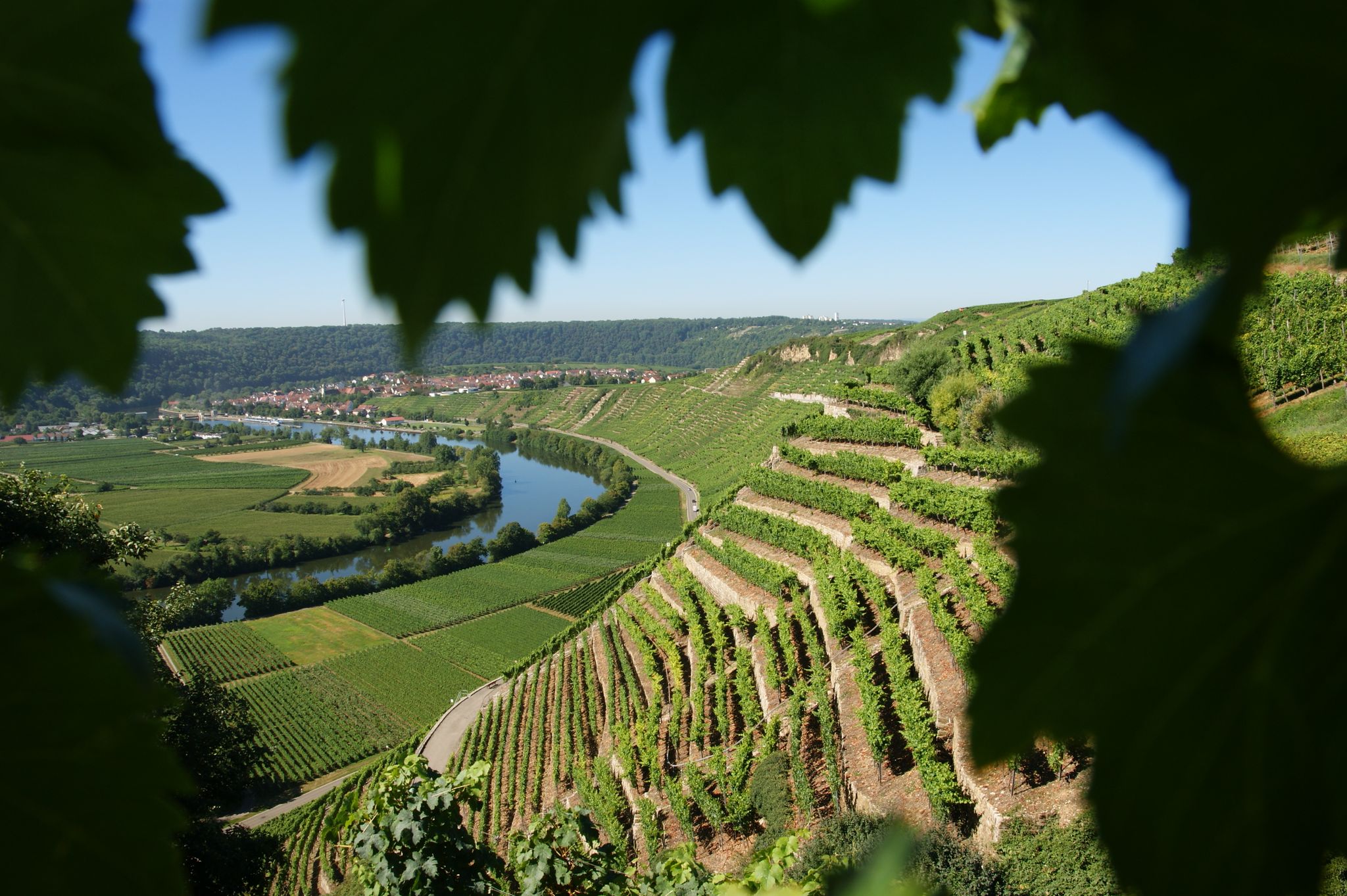
Where the wine grows in loops – hiking in the 3B-Land
bwegt-Wanderwege – travel in a flexible way, experience more
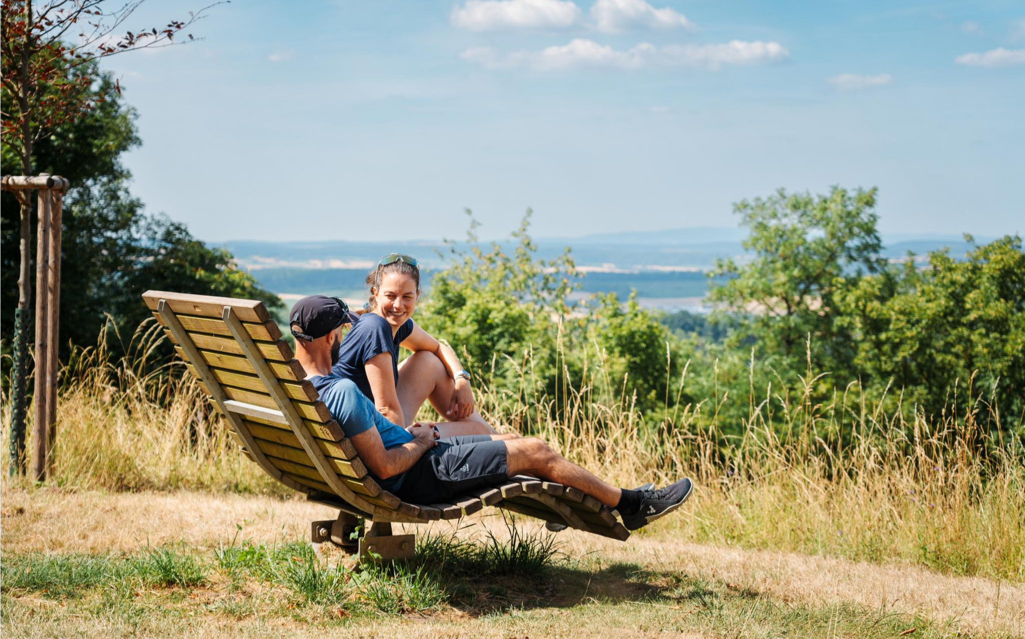
Oases of calm – hill sofas in the land of 1,000 hills
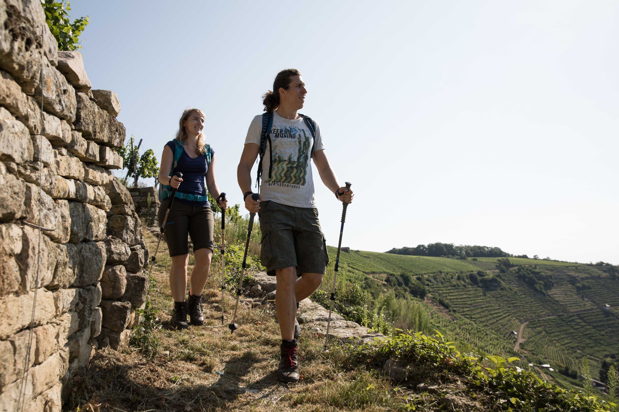
Württemberger Weinwanderweg - the Zabergäu-Schleife through the Land of 1000 Hills
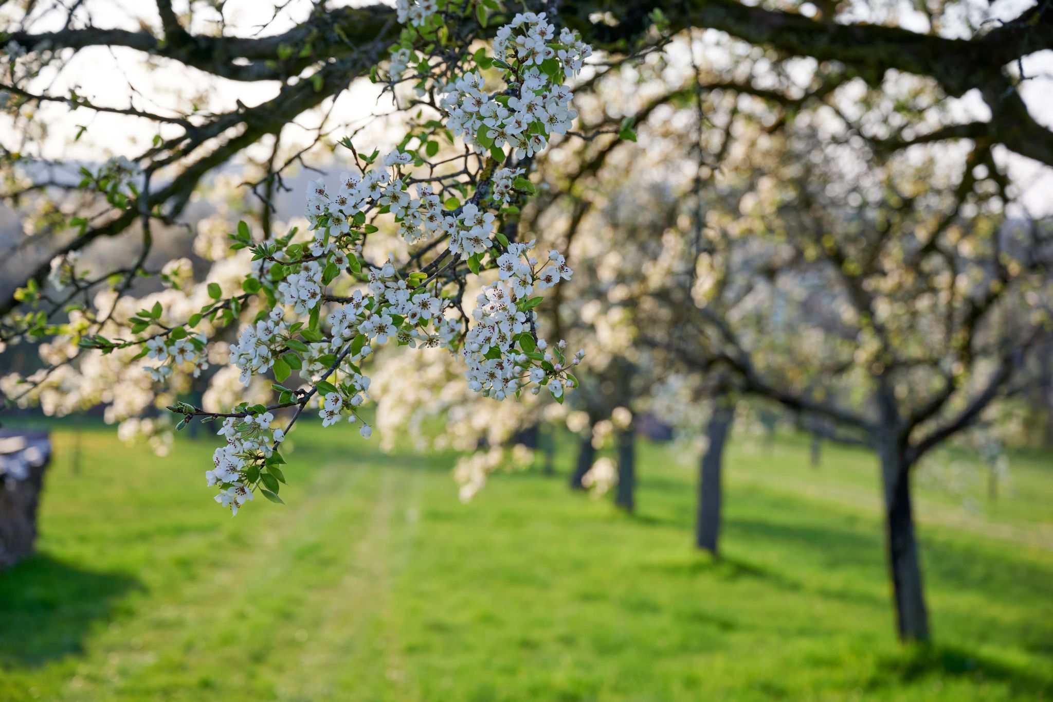
Spring in the land of 1,000 hills – Kraichgau-Stromberg in Germany

A passion for road cycling in the Land of 1,000 Hills
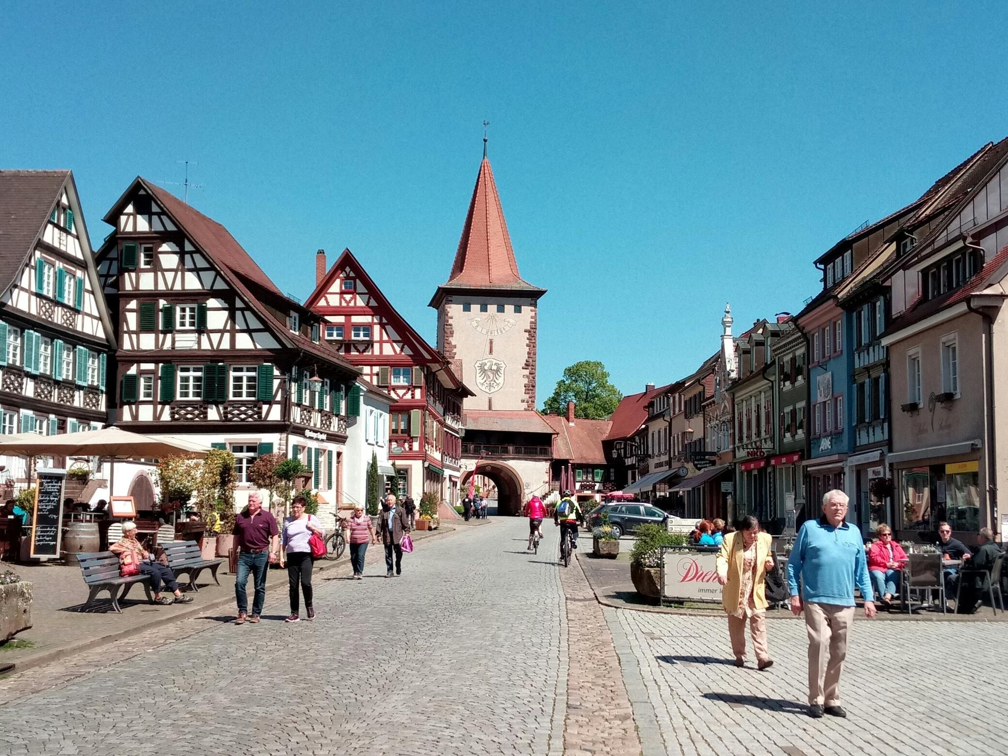
Cycling along the German Half-Timbered House Route
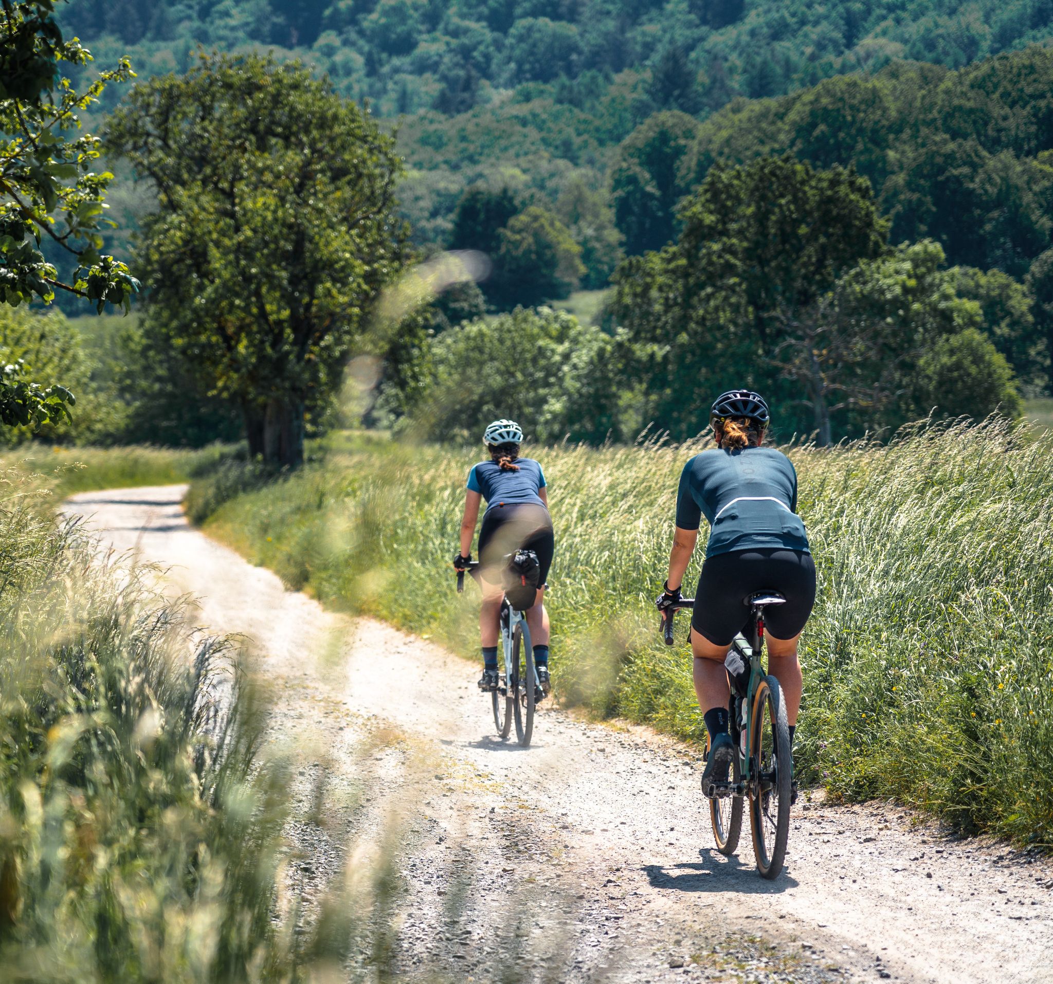
Gravel pleasure in the land of 1,000 hills
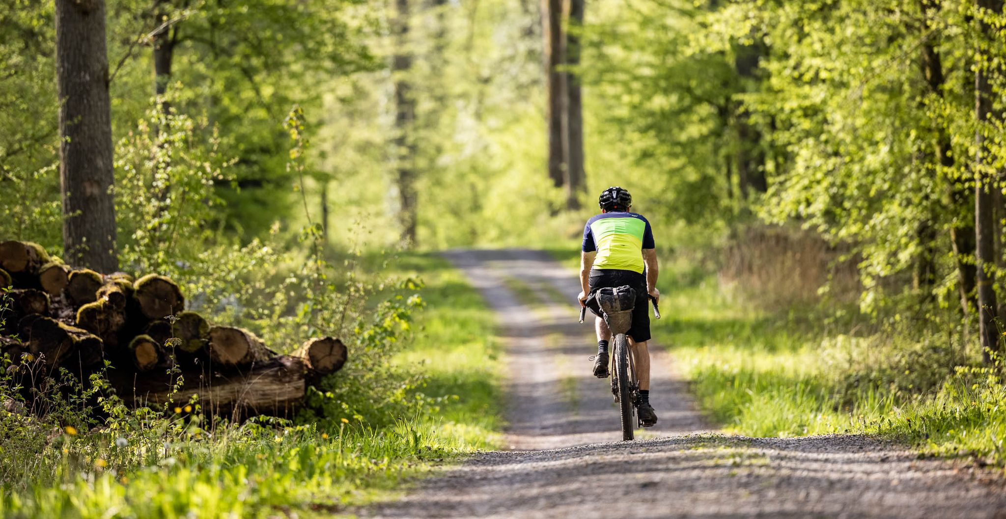
Dive deep into Baden-Württemberg's nature on a gravel bike in Germany
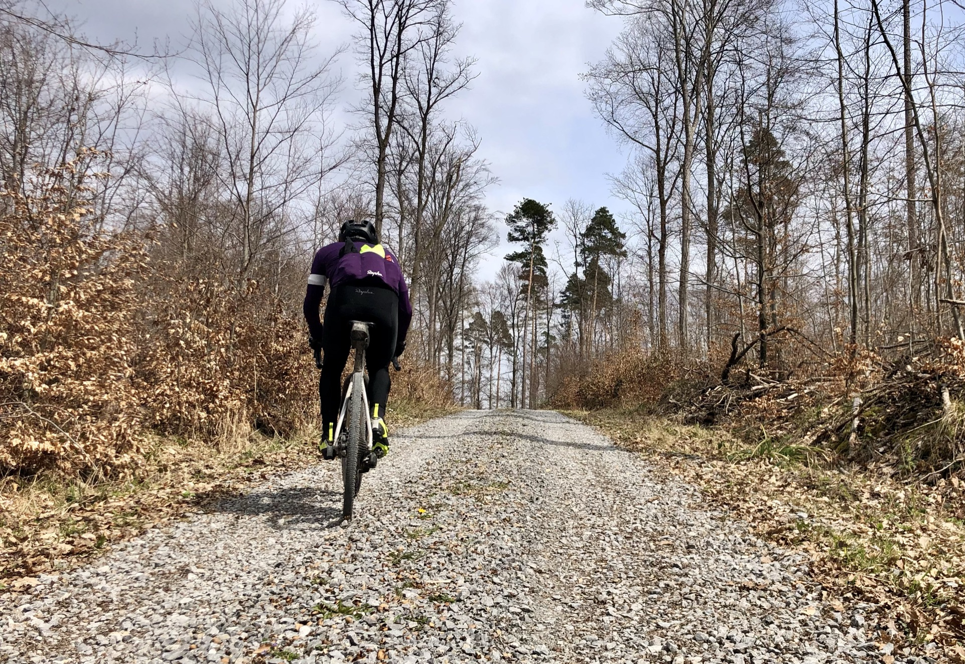
Stuttgarter Gravel Luck - Gravel Tours around the Basin
Other adventures around Bietigheim-Bissingen


Tips from the Community


Blown-up bunker of the Neckar Enz position, hidden in the forest a few meters from the hiking trails. The structure was built in 1935 as a fortified shelter for a crew of one commander and eight soldiers (1-8 men). Today, the object only exists as a blown-up bunker ruin. The bizarrely towering concrete chunks and exposed steel reinforcements can be reached via a small forest path.
4
0
The name is reminiscent of the region's hunting history. From a geological perspective, it is a protected erosion form (rock ledge) above the characteristic Enz loops.
4
0

A small weir that can be easily observed from the bike/pedestrian bridge. However, a small detour away from the Enztal cycle path is necessary for this.
5
0

On the right bank of the Enz, in front of the high Wobach rock face, about 300m upstream from the railway viaduct, there has been a walkable landscape model since the 1989 State Garden Show, featuring the rocks of the South German Scarpland. On a geological journey through time, one gains insights into the course of life on Earth, the origin and structure of the Scarpland, as well as the life world of the Muschelkalk sea.
3
0
Covered wooden bridge over the Metter with a beautiful view of the houses of the adjacent old town.
4
0
This work, consisting of two identical bronze casts – one of his rare works for public spaces alongside the "Wächter" – picks up on a form-finding that Fritz Schwegler first noted in 1972 on the Spielstraße for the Munich Olympic Games. The artist also created a miniature, which is considered the model for the Bietigheim sculptures and which he classified in the category of "Füsze" in one of his volumes of collected ideas – the "EN-Band" named "Landblumenkörnchen mit Zitrone". There, feet are found in the most diverse transformations: as table legs, hat stands, or with a snail shell. Fritz Schwegler's creative inventiveness has its own wit: The legs have taken on a life of their own. Without torsos, and therefore headless, they find their way in a swinging or curved manner. Fritz Schwegler's play with everyday necessary things, to which he gives new meaning, culminates in the chosen location for the two sculptures. Standing in each other's line of sight – one sculpture on the Langwiesenbrücke, the other on the meadow area under the bridge – they enter into a dialogue with each other, even though none is actually possible.
4
0
Frequently Asked Questions
How many easy hiking trails are available in Bietigheim-Bissingen?
Bietigheim-Bissingen offers a wide selection of easy hiking trails, with over 160 routes specifically categorized as easy. These trails traverse diverse landscapes including river valleys, vineyards, and forests, providing numerous options for relaxed outings.
What are the typical lengths and durations of easy hikes in Bietigheim-Bissingen?
Easy hikes in Bietigheim-Bissingen generally range from 3 to 6.5 kilometers (2 to 4 miles) in length, with typical durations between 1 to 2 hours. For example, the Bietigheim Old Town – Bietigheim Railway Viaduct loop is about 3.2 km and takes just over an hour, while the Panorama Trail Above the Enz Valley – Bietigheim Old Town loop is around 6.5 km and takes about 1 hour 45 minutes.
Are there family-friendly easy hikes in Bietigheim-Bissingen?
Yes, Bietigheim-Bissingen is well-suited for family-friendly hikes. Many easy trails are designed to be accessible for all ages, often passing through forests and along riverbanks. The region also features educational trails like the 'Adventure Forest' with play stations, making them engaging for children.
Can I bring my dog on easy hiking trails in Bietigheim-Bissingen?
Many easy hiking trails in Bietigheim-Bissingen are dog-friendly. The diverse landscapes of river valleys, forests, and vineyards provide excellent opportunities for walks with your canine companion. Always ensure your dog is leashed and follow local regulations, especially in nature reserve areas.
What natural features or attractions can I see on easy hikes?
Easy hikes in Bietigheim-Bissingen offer a variety of natural sights. You can explore the scenic Enz and Neckar river valleys, discover unique geological formations like the Hessigheim Rock Gardens, or observe the Wobachfelsen Muschelkalk Cliffs. Trails also lead through picturesque vineyards, orchards, and forests, such as those found on the Forest Path loop from Ingersheim.
Are there trails with good viewpoints in the area?
Absolutely. The region is known for its scenic vistas, particularly over the river valleys and vineyards. The Panorama Trail Above the Enz Valley offers impressive views. You can also find excellent viewpoints like the View of the Neckar from the Hessigheimer Felsengärten, providing expansive panoramas of the surrounding landscape.
Are easy hiking trails in Bietigheim-Bissingen accessible by public transport?
Yes, many easy hiking trails in Bietigheim-Bissingen are well-connected to public transport. The town's central location and good infrastructure mean that trailheads are often reachable by train or bus, making it convenient to start your hike without a car. For example, the Panorama Trail Above the Enz Valley starts directly from Bietigheim-Bissingen.
Is parking available near the trailheads for easy hikes?
Yes, parking is generally available near the starting points of many easy hiking trails in Bietigheim-Bissingen. Whether you're heading to the Enz valley, vineyards, or forest paths, you'll often find designated parking areas to facilitate your access to the routes.
What do other hikers enjoy the most about hiking in Bietigheim-Bissingen?
The area is highly rated by the komoot community, with an average score of 4.6 stars from over 1,600 reviews. Hikers frequently praise the diverse landscapes, including the picturesque river valleys and vineyards, as well as the well-maintained and clearly marked paths that make for enjoyable and accessible outings.
Are there any circular easy hiking routes?
Yes, Bietigheim-Bissingen offers several excellent circular easy hiking routes. These loops allow you to start and end at the same point, providing convenience. Examples include the Panorama Trail Above the Enz Valley – Bietigheim Old Town loop and the Forest Path loop from Ingersheim.
What is the best time of year for easy hikes in Bietigheim-Bissingen?
Bietigheim-Bissingen offers pleasant hiking conditions throughout much of the year. Spring brings blooming orchards and fresh greenery, while autumn showcases vibrant colors in the vineyards and forests. Summer is ideal for enjoying the river valleys, and even mild winter days can be suitable for a peaceful walk, especially on well-maintained paths.
Are there any educational trails suitable for easy walks?
Yes, Bietigheim-Bissingen features several educational trails that combine easy walking with learning. These include a Geological Nature Trail, an Insect and Biodiversity Trail, and an Educational Tree Trail, all designed to offer insights into the region's natural and historical significance while providing an accessible hiking experience.
Most popular routes around Bietigheim-Bissingen
Most popular attractions around Bietigheim-Bissingen

Get inspired with the komoot mobile app


Explore more
Browse the best Hikes in other regions.
