Easy hikes and walks around Ludesch
4.6
(11829)
58,877
hikers
690
hikes
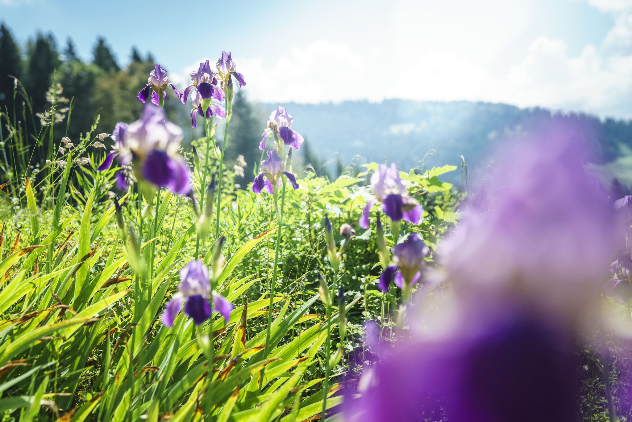
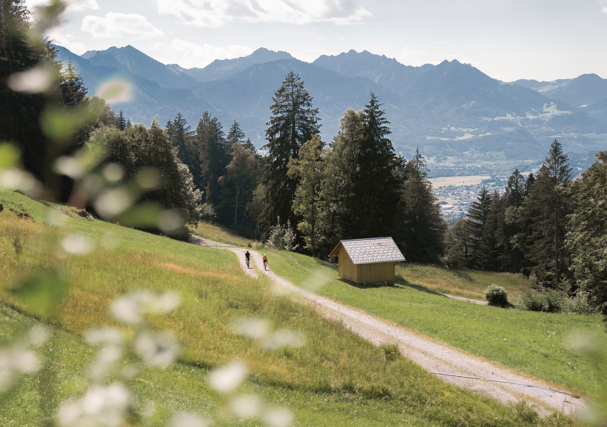
Easy hiking trails around Ludesch are set within a diverse natural landscape in Austria's Bludenz district. The region features varied terrain, including lush meadows, serene wooded areas, and impressive waterfalls and gorges. Hikers can explore paths alongside the Lutz River and discover natural features like tufa springs. From elevated points, panoramic views across the valley and surrounding peaks are accessible.
Best easy hiking trails around Ludesch
- The most popular easy hiking route is Varied meadows on the Ludescherberg, a…
Last updated: July 7, 2026
5.0
(2)
7
hikers
4.55km
01:23
190m
70m
Easy hike. Great for any fitness level. Easily-accessible paths. Suitable for all skill levels.
4.5
(4)
11
hikers
2.73km
00:51
110m
110m
Easy hike. Great for any fitness level. Easily-accessible paths. Suitable for all skill levels.

Sign up for free
4.6
(5)
18
hikers
4.66km
01:27
170m
170m
Easy hike. Great for any fitness level. Easily-accessible paths. Suitable for all skill levels.
5.0
(1)
24
hikers
5.89km
01:31
30m
30m
Easy hike. Great for any fitness level. Easily-accessible paths. Suitable for all skill levels.
19
hikers
4.55km
01:25
170m
180m
Easy hike. Great for any fitness level. Easily-accessible paths. Suitable for all skill levels.
Get access to more routes and recommendations from other explorers.
Sign up for free
Already have an account?
Our route recommendations are based on thousands of hikes, rides, and runs completed by other people on komoot.
Start today with a free account
Your next adventure awaits.
Login or Signup

Tips from the Community

This impressive waterfall is clearly visible even from the road and attracts hikers and cyclists with its majestic sight. The path up only rises slightly, but we repeatedly stop to enjoy the magnificent view of the roaring water. I am surprised by the size of this natural wonder: with a drop of about 30 meters, the water plunges over several cascades a total of around 80 meters into the depths, down to the Schwarzbach power station at the foot of the mountain. Since 1955, this waterfall has been protected as a Vorarlberg natural monument, which underscores its special significance for the region. The source of the Montjolabach, which feeds the waterfall, is one of the most abundant drinking water sources in all of Vorarlberg. This interplay of natural power and sustainability makes the waterfall a fascinating excursion destination for nature lovers.
0
0

Montiola Weiher, Thüringen The Montjola-Weiher were created in 1837 for the use of water power for the textile industry in Thüringen. Besides that, the Montjola-Weiher have been a popular destination for excursions and a local recreation area. The Montjola-Weiher (also: Montjola-See or Montiola-Weiher, 686 m above sea level) are located on the Quadern high plateau in the municipality of Thüringen. The Montjola-Weiher were created in 1837 for the operation of the spinning and weaving mill founded by John Douglass and partners. In the 1980s, the ponds were dredged. In 2016, Montjola-Weiher II was renovated and redesigned for approximately 250,000 Euros[2] and the infrastructure was slightly expanded.[3][4] At the same time, a "Historical Experience and Educational Trail" was established, illustrating the long history of water power utilization for industry in Thüringen. A significant portion of the costs was funded through the LEADER action program of the European Union. In 2024, to relieve the ponds and as flood protection, an approximately 700-meter-long tunnel was laid using the Micromining method, which diverts the excess water of the Schwarzbach via the Schlosstobel into the Lutz. In spring 2025, the planting of the renatured pond took place with the participation of students from the Thüringen primary school. Text / Source: Austria-Forum https://austria-forum.org/af/AustriaWiki/Montjola-Weiher
14
0
Montiola Waterfall, Thüringen The Montjola waterfall has a main drop of about 30 m and is located at the northern end of the municipality of Thüringen. The total drop, over several stages down to the power station of the Schwarzbach power plant, is about 80 m. The waterfall has been designated as a "Vorarlberg Natural Monument" since 1955. Text / Source: wikipedia.org https://de.wikipedia.org/wiki/Montjola-Wasserfall
14
0

The “Sunna-Weg” trail runs along the sunny side of the valley near Nüziders and owes its name to the historical County of Sonnenberg, whose ancestral seat was located here. Along the trail, 25 information boards provide exciting insights into cultural history, geology, and the development of the landscape.
0
0

From the village of Nünziders, it's just a stone's throw to the ruins. The walk takes about 10 minutes. It's an interesting place for explorers. There are also seating areas. Here's a short documentary about Sonnenberg Castle: https://youtu.be/mnxkXHwWZ3Q
0
0


Beautiful view over the Walgau into the Rätikon.
0
0
Great species-rich meadows to the left and right of the path.
0
0
Frequently Asked Questions
How many easy hiking trails are available around Ludesch?
Ludesch offers a wide selection of easy hiking trails, with over 230 routes suitable for various fitness levels. These trails allow you to explore the region's diverse landscapes at a comfortable pace.
Are there easy circular walks in the Ludesch area?
Yes, many easy trails around Ludesch are designed as circular routes, perfect for a relaxed day out. For example, the Montjola Waterfall – Montjola Pond loop from Thüringen is an easy 2.8-mile path that showcases diverse terrain and natural beauty. Another option is the Lutz River – St. Anna Church (Thüringen) loop from Thüringen, offering riverside landscapes.
Can I find trails with waterfalls or impressive natural features on easy hikes?
Absolutely. The region is rich in natural wonders. You can explore areas with impressive waterfalls and deep gorges, such as the Bürser Gorge, which features a spectacular, almost jungle-like environment. The Montjola Waterfall – Montjola Pond loop from Thüringen specifically leads to a beautiful waterfall and pond. You might also discover serene wooded areas with tufa springs.
Are the easy hiking trails around Ludesch suitable for families with children?
Yes, the easy trails in Ludesch are generally very family-friendly. They offer gentle gradients and varied scenery, making them enjoyable for all ages. Routes like Varied meadows on the Ludescherberg provide open spaces and scenic views perfect for a family outing.
What kind of terrain can I expect on easy hikes in Ludesch?
On easy hikes around Ludesch, you can expect a mix of terrain. Trails often lead through lush meadows, serene wooded areas, and along river valleys like the Lutz River. You'll encounter well-maintained paths, some with gentle ascents and descents, providing varied scenery without significant challenges.
Are there good viewpoints on the easy hiking trails in Ludesch?
While many easy trails focus on valley and riverside scenery, some elevated points offer rewarding views. From certain spots, you can enjoy panoramic vistas across the valley and the surrounding peaks. The region's diverse landscape ensures picturesque scenes throughout your walk.
What is the best time of year for easy hiking in Ludesch?
Ludesch is beautiful for easy hiking throughout much of the year. Spring brings vibrant green meadows and blooming flora, while summer offers warm weather for exploring. Autumn transforms the landscape with stunning fall colors. Even in winter, some lower-altitude paths can be accessible for a peaceful stroll, depending on snow conditions.
Is public transport available to reach the trailheads for easy hikes?
Ludesch and the surrounding Bludenz district are generally well-connected. While specific public transport details for each trailhead are not covered here, the region often provides bus services that can take you to various starting points for hikes. It's advisable to check local bus schedules for the most current information.
Where can I park when starting an easy hike in Ludesch?
Many trailheads in and around Ludesch offer designated parking areas. While specific parking availability can vary by route, you'll generally find convenient options near popular starting points, especially for well-known easy trails. Look for signs indicating hiker parking.
Are dogs allowed on the easy hiking trails around Ludesch?
Generally, dogs are welcome on hiking trails in the Ludesch region. However, it's always recommended to keep them on a leash, especially in nature protection areas, near livestock, or in crowded sections. Please ensure you clean up after your dog to maintain the pristine environment for everyone.
What do other hikers say about the easy trails in Ludesch?
The easy trails in Ludesch are highly regarded by the komoot community, with an impressive average rating of 4.5 stars from over 1,600 reviews. Hikers frequently praise the well-maintained paths, the stunning natural beauty, and the variety of landscapes, from quiet woodlands to open meadows and riverside walks.
Are there any historical or cultural landmarks along the easy routes?
Yes, some easy routes may lead you past charming local landmarks. For instance, the Lutz River – St. Anna Church (Thüringen) loop from Thüringen passes by the historic St. Anna Church. You might also encounter the St. Gerold Monastery Courtyard – St. Gerold Priory loop from St. Gerold, offering a glimpse into the region's cultural heritage.
Are there any short, easy walks perfect for beginners or a quick stroll?
Absolutely. For those looking for a shorter, more leisurely experience, Ludesch has several options. The Varied meadows on the Ludescherberg is a 1.7-mile trail that takes just under an hour, ideal for a quick, scenic walk. Another short option is the St. Gerold Monastery Courtyard – St. Gerold Priory loop from St. Gerold, which is only 1.4 miles long.
Most popular routes around Ludesch
Most popular attractions around Ludesch

Get inspired with the komoot mobile app


Explore more
Browse the best Hikes in other regions.
