Easy hikes and walks in Landkreis Schaumburg
4.6
(12231)
42,615
hikers
1,887
hikes
Easy hiking trails in Landkreis Schaumburg traverse a landscape characterized by rolling hills, dense forests, and picturesque valleys within Lower Saxony, Germany. The region is part of the Weser Uplands, featuring diverse terrain with elevations up to 405 meters. Notable natural features include the Bückeberg hill range, the forested Deister, and the Schaumburger Wald, offering varied environments for outdoor activities.
Best easy hiking trails in Landkreis Schaumburg
- The most popular easy hiking route is Fairy Tale Path Bad Rehburg,…
Last updated: October 20, 2026
4.7
(234)
729
hikers
7.35km
01:59
100m
100m
Easy hike. Great for any fitness level. Easily-accessible paths. Suitable for all skill levels.
4.6
(92)
400
hikers
6.54km
01:48
100m
110m
Easy hike. Great for any fitness level. Easily-accessible paths. Suitable for all skill levels.

4.7
(102)
261
hikers
4.40km
01:12
60m
60m
Easy hike. Great for any fitness level. Easily-accessible paths. Suitable for all skill levels.
4.8
(331)
1,095
hikers
Easy hike. Great for any fitness level. Easily-accessible paths. Suitable for all skill levels.
4.8
(100)
279
hikers
Easy hike. Great for any fitness level. Easily-accessible paths. Suitable for all skill levels.
4.8
(105)
290
hikers
6.66km
01:52
130m
130m
Easy hike. Great for any fitness level. Easily-accessible paths. Suitable for all skill levels.
4.7
(70)
232
hikers
Easy hike. Great for any fitness level. Easily-accessible paths. Suitable for all skill levels.
4.4
(79)
395
hikers
3.47km
01:02
100m
100m
Easy hike. Great for any fitness level. Easily-accessible paths. Suitable for all skill levels.
4.6
(78)
234
hikers
Easy hike. Great for any fitness level. Easily-accessible paths. Suitable for all skill levels.
4.7
(64)
192
hikers
Easy hike. Great for any fitness level. Easily-accessible paths. Suitable for all skill levels.
Get access to more routes and recommendations from other explorers.
Already have an account?
Our route recommendations are based on thousands of hikes, rides, and runs completed by other people on komoot.
Start today with a free account
Your next adventure awaits.
Popular around Landkreis Schaumburg
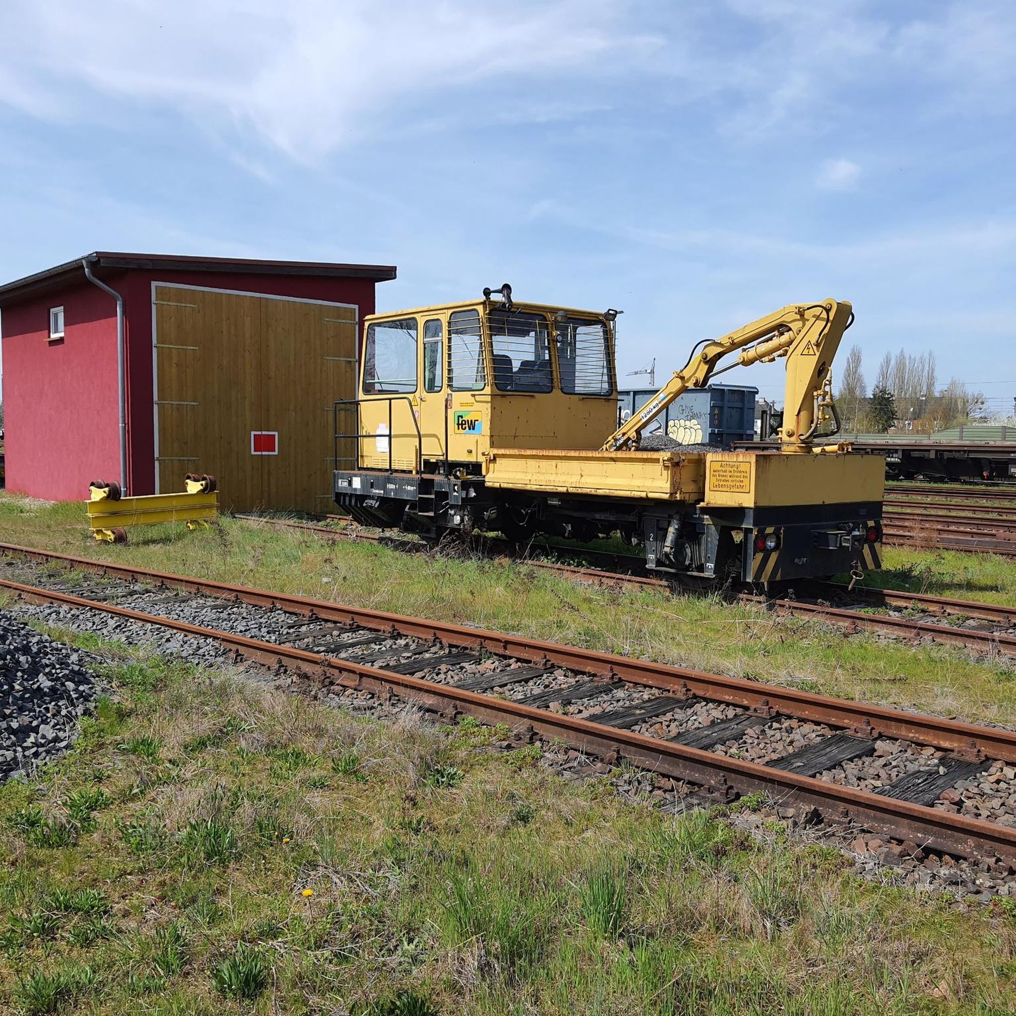
Easy hikes around Bad Nenndorf
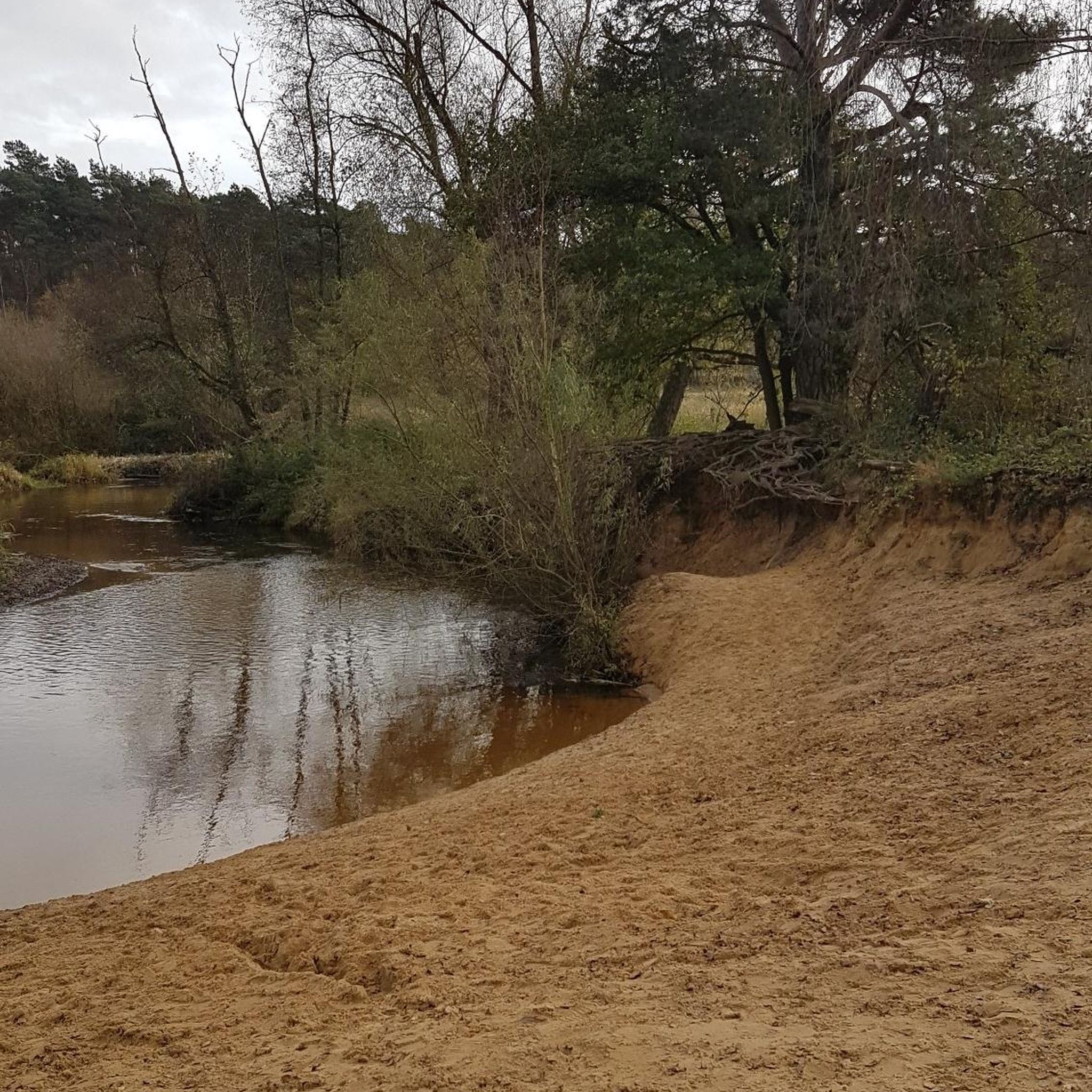
Easy hikes around Rinteln
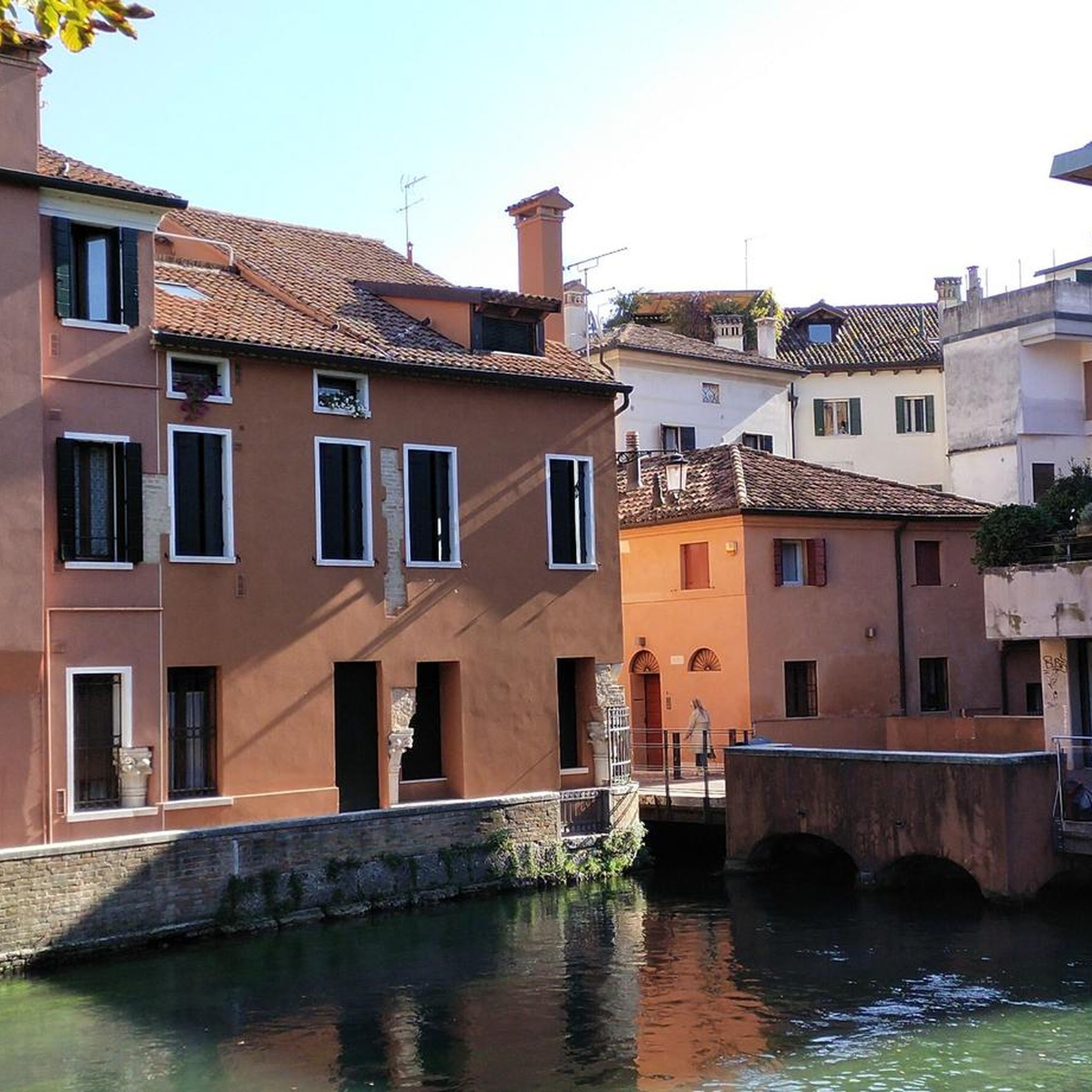
Easy hikes around Harrl
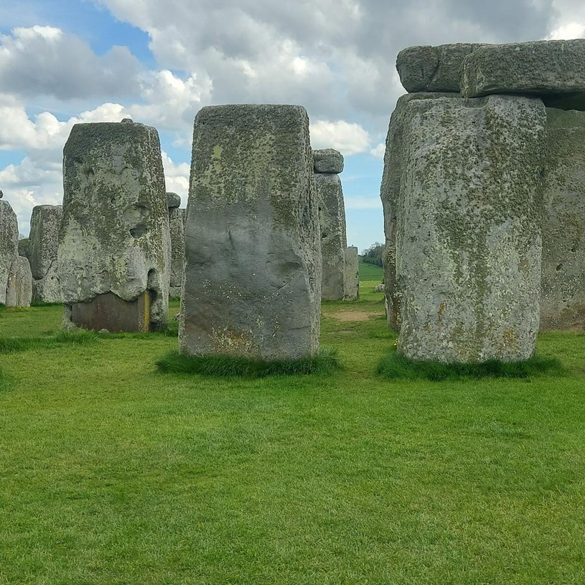
Easy hikes around Bückeburg
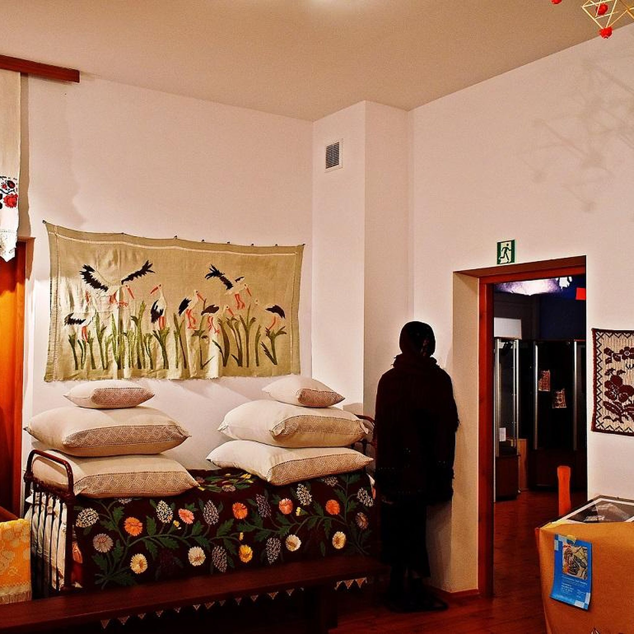
Easy hikes around Bückeberg

Easy hikes around Stadthagen

Easy hikes around Natural Park Kamm des Wesergebirges
Easy hikes around Doktorsee
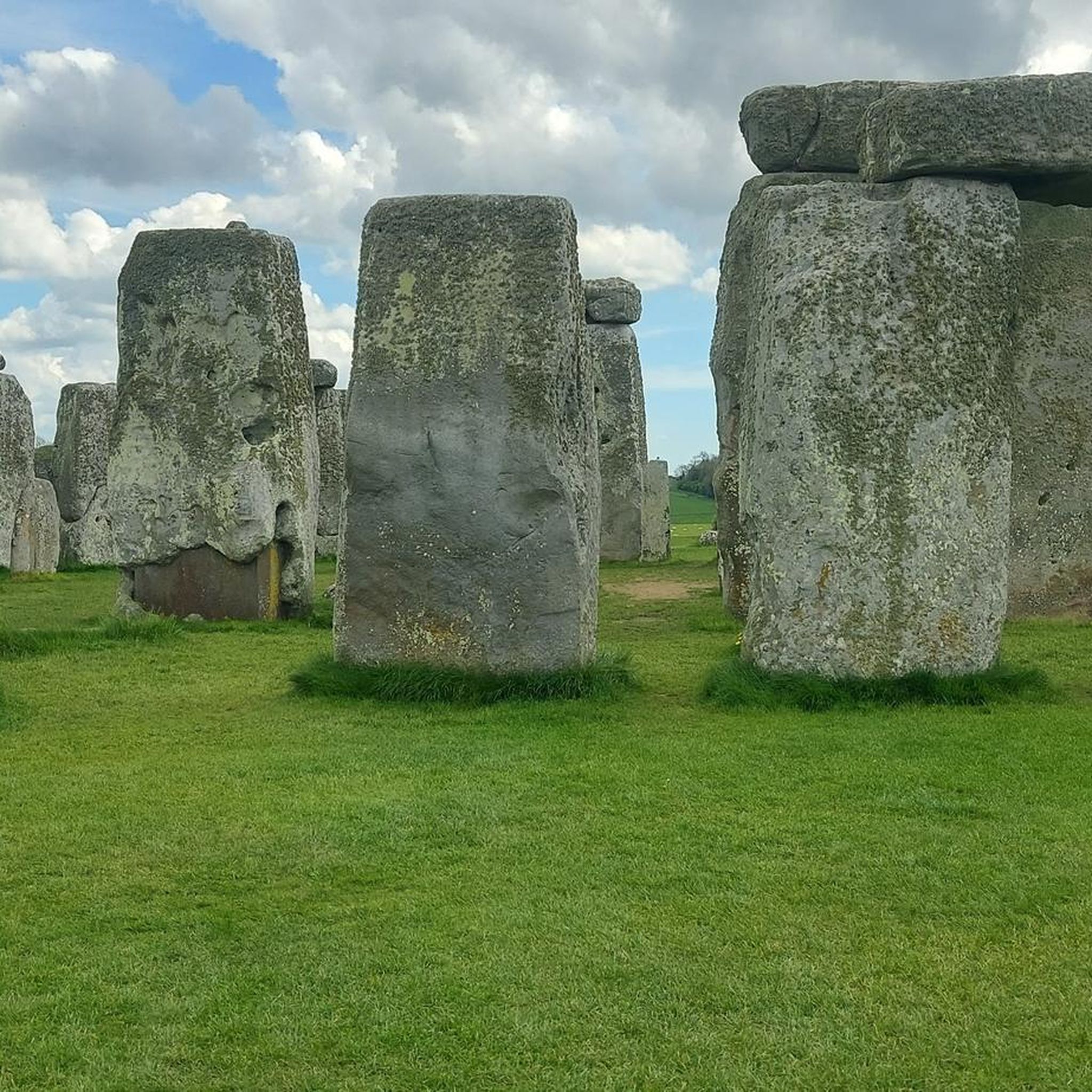
Easy hikes around Gevattersee
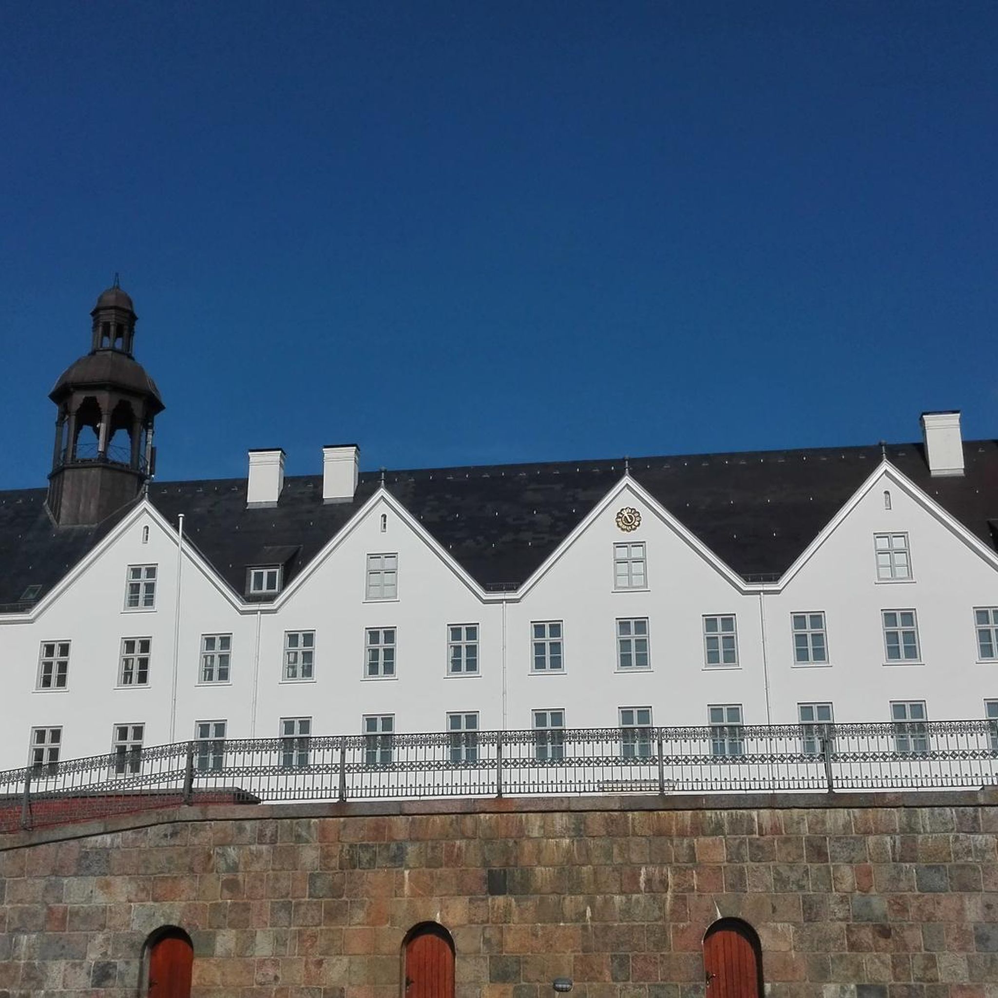
Easy hikes around Schaumburger Wald
Other adventures in Landkreis Schaumburg


Tips from the Community

A great section on my running route. It's worth enjoying the scenery for a moment
0
0


The beautiful rest area is located in the southern part of Wennenkamp.
1
0

Beautiful view, especially in winter.
0
0
The signpost shows the cardinal directions and distances to important cities and places around the globe.
1
0
The dinosaur tracks in the Bückeberg sandstone quarries are among the most impressive relics of prehistoric times in Northern Germany. In the sandstone layers of the former Obernkirchen quarry, dinosaur footprints have been preserved, dating back approximately 140 million years, when this area was a flat coastal landscape with lagoons and wet sandy areas. Various dinosaur species roamed these soft soils, leaving their tracks in the sand that hardened over time. Both tracks of herbivorous dinosaurs and the typical three-toed footprints of carnivorous species are visible. The sheer number and density of the preserved tracks hint at just how teeming this landscape must have been in the early Cretaceous period. Today, the tracks lie exposed in the rock, offering a direct glimpse into a long-vanished world where enormous animals roamed what is now the Schaumburg region. Today the quarry is part of a protected natural and recreational area and is integrated into a nature trail that introduces visitors to the origin of the traces, the environment at that time and the geological significance of the Bückeberge.
1
0
The Walterbach is a small, unassuming, yet significant stream in the Deister hills, giving its name to the Walterbach Valley. It originates in the wooded heights of this low mountain range and flows gently through a diverse valley of meadows, moorland, and dense deciduous forests. Its course appears natural and largely untouched, giving the stream special ecological value. Typical of the Walterbach is its clear, cool water, which meanders gently through the valley. Alders, willows, and ferns grow along its banks, providing shade for the stream and simultaneously offering habitat for numerous animals. Amphibians, dragonflies, and waterfowl find ideal conditions here, while the stream itself is home to small animals and insect larvae, which play a vital role in the ecological balance. The Walterbach not only shapes the natural landscape but also the atmosphere of the valley. Its soft babbling accompanies walkers and hikers on the surrounding paths, enhancing the feeling of peace and seclusion. Especially during periods of heavy rain, the stream becomes more prominent, demonstrating just how dynamic and vibrant this small body of water can be. Historically, the Walterbach likely played a role in the water supply and the use of the surrounding land, for example, for grazing livestock or small-scale forestry.
1
0

The Self-Care Trail near Hattendorf is a gently guided themed path that combines experiencing nature with personal mindfulness. Over a distance of just over four kilometers, it accompanies hikers through a tranquil landscape of meadows, forest edges, and the gentle hills of the Auetal valley. Nine stations invite visitors to pause and turn their gaze inward: to perceive their own resources, to quiet their inner critic, or simply to breathe consciously for a moment. The trail is not intended as a sporting challenge, but rather as an invitation to slow down, a quiet dialogue between people and nature that unfolds its full effect particularly in the early morning hours or after fresh snowfall.
1
0
Frequently Asked Questions
How many easy hiking trails are available in Landkreis Schaumburg?
Landkreis Schaumburg offers a wide selection of easy hiking trails, with over 1,100 routes suitable for all fitness levels. These trails traverse diverse landscapes, from rolling hills to dense forests.
What kind of terrain can I expect on easy hikes in Landkreis Schaumburg?
Easy hikes in Landkreis Schaumburg typically feature gentle gradients through rolling hills, dense forests, and picturesque valleys. You'll find well-maintained paths in areas like the Bückeberg, Deister, and Schaumburger Wald, offering a pleasant outdoor experience without strenuous climbs.
Are there any family-friendly easy hikes in Landkreis Schaumburg?
Yes, many easy trails in Landkreis Schaumburg are perfect for families. The Fairy Tale Path Bad Rehburg, for instance, is highly accessible and suitable for all skill levels, making it a popular choice for outings with children. The Schaumburger Wald also offers delightful walks ideal for families.
Can I bring my dog on easy hiking trails in Landkreis Schaumburg?
Many easy hiking trails in Landkreis Schaumburg are dog-friendly, allowing you to enjoy the natural beauty with your canine companion. It's always recommended to keep dogs on a leash, especially in nature reserves or near wildlife, and to check local regulations for specific routes.
Are there easy circular routes available in Landkreis Schaumburg?
Yes, Landkreis Schaumburg features numerous easy circular routes, perfect for a relaxed day out. The View Over Wennenkamp – Rotter Runde (A2) loop is a great example, offering scenic views and a manageable distance for a round trip.
What are some interesting natural features or landmarks to see on easy hikes?
On easy hikes, you can discover unique natural features and landmarks. For example, the Gorge to the Small Quarry loop from Bückeberg allows you to see clearly visible dinosaur tracks. You might also encounter impressive geological formations like the Springsteine near Deckbergen, known for their bizarre rock outcrops.
Are there any easy hikes with good viewpoints in Landkreis Schaumburg?
Absolutely. Many easy trails offer rewarding views. For instance, the Belvedere Tower (Strutzberg Tower) loop from Bantorf provides excellent vistas. You can also find panoramic views from locations like the View from Rodenberger Höhe, often accessible via easy paths.
What is the best time of year for easy hiking in Landkreis Schaumburg?
Landkreis Schaumburg is beautiful for easy hiking year-round. Spring brings blooming flora, summer offers lush green forests, autumn showcases vibrant foliage, and even winter provides serene, crisp walks. The well-maintained paths make most trails accessible in various seasons, though checking weather conditions is always advisable.
Are there easy hikes that are accessible by public transport?
While many trailheads are best reached by car, some areas in Landkreis Schaumburg are served by local bus routes, making certain easy hikes accessible via public transport. It's recommended to check local bus schedules and routes in advance to plan your journey to specific trailheads.
What do other hikers enjoy most about easy trails in Landkreis Schaumburg?
The komoot community highly rates the easy trails in Landkreis Schaumburg, with an average score of 4.6 stars from over 10,000 reviews. Hikers often praise the region's diverse and well-maintained paths, the peaceful forest environments, and the accessibility of routes like Hiking in the Harrl (H 1), which offers gentle gradients for all fitness levels.
Are there any easy hikes that focus on mindfulness or relaxation?
Yes, the region offers unique trails designed for relaxation. The path of self-dedication in the Auetal valley is a gently guided themed path combining nature experience with personal mindfulness, recognized as a 'Quality Trail Walkable Germany - Dream Route'.
Where can I find parking for easy hiking trails?
Many popular easy hiking trailheads in Landkreis Schaumburg offer designated parking areas. For example, trails around Bad Rehburg, the Harrl, and the Bückeberg often have convenient parking facilities nearby. Specific parking information is usually available on individual route descriptions.
Are there any easy hikes near cafes or places to eat?
Yes, you can often find cafes or restaurants near the start or end points of easy hikes, especially in or near towns and villages. While specific recommendations vary by route, popular areas like Bad Rehburg or Rodenberg offer options to refuel after your walk.
Most popular routes in Landkreis Schaumburg
Most popular attractions in Landkreis Schaumburg

Get inspired with the komoot mobile app


Didn’t find what you were looking for?
Check out more Hikes throughout Landkreis Schaumburg below and find the perfect route in your destination.
Explore more
Browse the best Hikes in other regions.
