Easy hikes and walks in Garin Regional Park
4.7
(73)
1,152
hikers
86
hikes
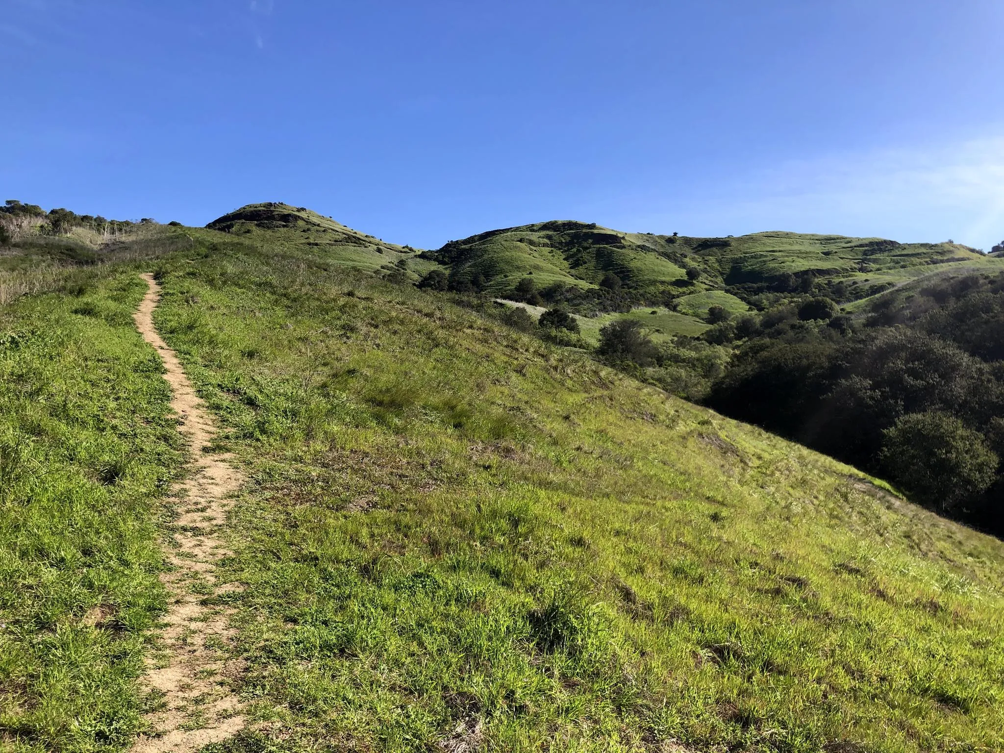
Easy hiking trails in Garin Regional Park traverse rolling hills that offer panoramic views of the San Francisco Bay and surrounding areas. The park features a diverse landscape, including open grasslands, wooded canyons, and the tranquil Jordan Pond. It is contiguous with Dry Creek Pioneer Regional Park, providing an extensive network of trails. The region is characterized by varied terrain, from gentle slopes to areas with moderate elevation changes.
Best easy hiking trails in Garin Regional Park
- The most popular…
Last updated: October 10, 2026
7
hikers
5.48km
01:43
210m
210m
The High Ridge, Meyers Ranch and Dry Creek Trail offers a refreshing escape into nature, guiding you through a varied landscape that hints at open ridges, pastoral ranch lands, and…
1.32km
00:21
0m
30m
The Dry Creek Trail offers a wonderfully accessible escape into nature, perfect for when you need a quick dose of fresh air without committing to a long trek. This easy…

4.8
(4)
32
hikers
5.09km
01:25
90m
90m
Easy hike. Great for any fitness level. Easily-accessible paths. Suitable for all skill levels.
5.0
(2)
19
hikers
6.21km
01:50
180m
180m
Easy hike. Great for any fitness level. Easily-accessible paths. Suitable for all skill levels.
14
hikers
3.63km
01:00
60m
70m
Easy hike. Great for any fitness level. Easily-accessible paths. Suitable for all skill levels.
Get access to more routes and recommendations from other explorers.
Already have an account?
Our route recommendations are based on thousands of hikes, rides, and runs completed by other people on komoot.
Start today with a free account
Your next adventure awaits.
Popular around Garin Regional Park
Other adventures in Garin Regional Park

Tips from the Community

The Vista Peak Loop Trails goes up the hillside without any trees blocking your line of sight, so once you climb enough, there are great views onto the Bay Area.
0
0

Wonderful hilly trail making up part of the Dry Creek Pioneer Regional Park.
0
0
Jordan Pond is a small, picturesque lake in the Dry Creek Pioneer Regional Park, surrounded by lush greenery and wildlife.
0
0
Beautiful views of rolling green hills and the Bay Area. If you're planning on attempting this hike after rain, make sure you're wearing waterproof hiking boots, as the terrain can get quite muddy.
1
0
Frequently Asked Questions
How many easy hiking trails are available in Garin Regional Park?
Garin Regional Park offers over 30 easy hiking trails, providing a wide range of options for casual walks and leisurely explorations. These routes are perfect for enjoying the park's diverse landscapes without strenuous effort.
What kind of terrain can I expect on easy hikes in Garin Regional Park?
Easy hikes in Garin Regional Park primarily feature rolling grassy hills and open grasslands, offering expansive views of the San Francisco Bay. You'll also find attractive wooded canyons and gentle slopes, providing varied scenery throughout your walk.
What are the best times of year to go for an easy hike in Garin Regional Park?
The park is beautiful year-round, but spring is particularly vibrant with wildflowers like California poppies and fiddlenecks after winter rains. By late summer, the hills turn a golden blonde, offering a different, equally picturesque landscape. Cooler months are ideal for comfortable walks.
Are there any historical sites or landmarks to see on easy trails?
Yes, Garin Regional Park is rich in history. You can visit the historic Visitor Center housed in a red barn, explore an exhibit of old ranch machinery, or discover the historic apple orchard. The park also contains the California Historical Landmark of the "Ukraina Honcharenko" Homestead, with its gravesite, grotto, and olive trees.
Are there any easy loop trails in Garin Regional Park?
Absolutely. Many easy trails in Garin Regional Park are designed as loops, allowing you to experience different scenery without retracing your steps. For example, the Hiking loop from Garin Regional Park is a popular 6.2 km option, and the Hiking loop from Russell City offers a 4.2 km path through open grasslands.
Can I bring my dog on the easy hiking trails?
Garin Regional Park is generally dog-friendly, but it's always best to check specific trail regulations and ensure your dog is on a leash. Many of the park's open trails are suitable for walks with your canine companion.
Are there family-friendly easy hikes suitable for children?
Yes, Garin Regional Park offers several family-friendly easy hikes. The park's gentle slopes and diverse attractions, like the duck pond and kite-flying field, make it an enjoyable destination for families. The High Ridge Loop Trail – Jordan Pond loop from Russell City, at 3.7 km, is a great option with views of Jordan Pond.
Where can I find parking for easy hikes in Garin Regional Park?
Garin Regional Park has designated parking areas, including near the Visitor Center. These parking lots typically provide convenient access to various trailheads, making it easy to start your easy hike.
What kind of views can I expect on easy hikes?
Easy hikes in Garin Regional Park offer stunning panoramic views. From many vantage points, you can see the San Francisco Bay, the cityscape of Hayward, Mt. Tamalpais, downtown San Francisco, and even glimpses of Mt. Diablo. The rolling hills provide continuous scenic backdrops.
What do other hikers say about the easy trails in Garin Regional Park?
The easy trails in Garin Regional Park are highly rated by the komoot community, with an average score of 4.7 stars from over 50 reviews. Hikers often praise the beautiful panoramic views, the well-maintained paths, and the peaceful atmosphere, especially during spring wildflowers.
Are there any easy trails that pass by Jordan Pond?
Yes, Jordan Pond is a picturesque feature within the park. The High Ridge Loop Trail – Jordan Pond loop from Russell City is an easy 3.7 km route that offers lovely views of the pond and the surrounding hills, providing a tranquil spot on your walk.
What is the approximate length and elevation gain for easy hikes?
Easy hikes in Garin Regional Park vary in length, typically ranging from 3 to 6 kilometers (2 to 4 miles). Elevation gains are generally gentle, often between 60 to 180 meters (200 to 600 feet), making them accessible for most fitness levels. For instance, the Ukraina Trail is about 5.6 km with 93 meters of elevation gain.
Most popular routes in Garin Regional Park

Get inspired with the komoot mobile app


Explore more
Browse the best Hikes in other regions.
