Easy hikes and walks in Westerschelde & Saeftinghe
4.4
(1242)
10,658
hikers
71
hikes
Easy hiking trails in Westerschelde & Saeftinghe navigate a landscape defined by the Scheldt estuary, brackish water marshes, and historic polders. The region features dynamic mudflats, salt marshes, and winding dikes, shaped by tidal influences. Coastal areas and beaches along the Westerschelde complement the unique ecosystems of Saeftinghe, offering varied terrain for exploration. This environment supports specialized flora and serves as a habitat for numerous bird species.
Best easy hiking trails in Westerschelde & Saeftinghe
- The most popular easy hiking…
Last updated: June 30, 2026
4.5
(86)
384
hikers
5.83km
01:28
10m
10m
Easy hike. Great for any fitness level. Easily-accessible paths. Suitable for all skill levels.
4.5
(31)
146
hikers
Easy hike. Great for any fitness level. Easily-accessible paths. Suitable for all skill levels.

Sign up for free
4.5
(64)
274
hikers
4.54km
01:09
10m
10m
Easy hike. Great for any fitness level. Easily-accessible paths. Suitable for all skill levels.
4.7
(19)
167
hikers
Easy hike. Great for any fitness level. Easily-accessible paths. Suitable for all skill levels.
4.1
(15)
75
hikers
Easy hike. Great for any fitness level. Easily-accessible paths. Suitable for all skill levels.
Get access to more routes and recommendations from other explorers.
Sign up for free
Already have an account?
Our route recommendations are based on thousands of hikes, rides, and runs completed by other people on komoot.
Start today with a free account
Your next adventure awaits.
Login or Signup
Popular around Westerschelde & Saeftinghe
Other adventures in Westerschelde & Saeftinghe

Tips from the Community

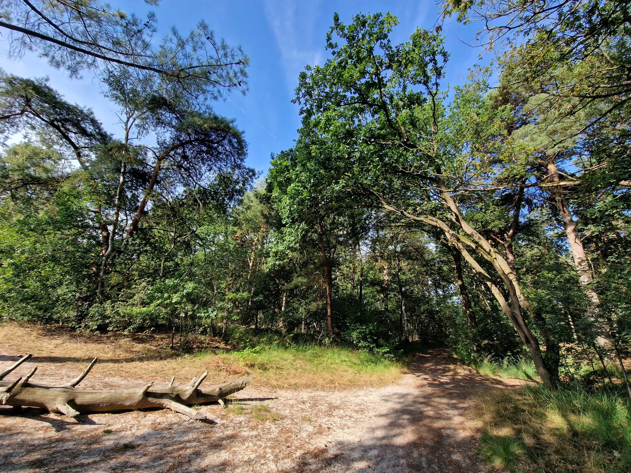
The Verdronken Zwarte Polder is a unique nature reserve full of history, variety, and biodiversity. The area, which owes its name to a polder that flooded in 1802, offers mudflats, salt marshes, dunes, and beaches with a wide variety of plants and animals. The polder is part of the UNESCO Schelde Delta Geopark and is easily accessible via the Zeedijk. Hiking trails of approximately 2.5 km and a riding trail lead you through the landscape. For children, there is a 'Nature Adventure' scavenger hunt with which they can discover the flora and fauna in a playful way. From elderflower, sea buckthorn, and sea holly to redshanks, ringed plovers, and songbirds: the Verdronken Zwarte Polder is a paradise for nature lovers. Through targeted management, such as grazing by Drenthe heath sheep, nature is kept in top condition. A perfect place for walking, discovering, and enjoying the sea, dunes, and salt marshes. (Visit West-Vlaanderen)
10
0
The boardwalks provide an easy crossing of the gully along which the seawater flows inland and connect to the path to the beach.
7
0
There are many hiking trails through the Verdronken Zwarte Polder, also a bridle path. The hiking trail, which is at times very sandy, is beautiful but tiring.
10
0
The Verdronken Zwarte Polder is a so-called slufter - an area behind a breached dune row - and originated in 1802. In fact, this area originated from a dike breach, during which the Zwarte Polder, 120 ha in size and constructed in 1623, was flooded. It was an artificial dike on which a modest dune row spontaneously developed. This dammed off the remaining part of the Zwarte Gat. The area has since only been partially reclaimed. In 1803, an area of 8 ha was re-diked, nowadays known as Zwarte Polder and used as a campsite. In 1829, north of it, another 23 ha were reclaimed, and this is called the Herdijkte Zwarte Polder. (Wikipedia)
11
0
At this point you are on a higher dune with less vegetation so you can see the Westerschelde and the busy shipping traffic towards and back from Antwerp.
10
0

The Verdronken Zwarte Polder is a rugged and vast nature reserve where mudflats, salt marshes, and dunes merge. Narrow sandy paths and wooden boardwalks lead you past water and grasslands, with chances of spotting special birds and ever-changing views towards the sea.
0
0

This boardwalk runs through the Zwarte Polder towards the beach. You often have to walk a bit further before reaching the sea. The sea still flows into the area via the slufter, an opening in the dune range. This also carries a lot of sand. As a result, the salt marsh silts up quickly, and the area rarely floods completely.
0
0

Fort Rammekens dates back to 1547 and is the oldest sea fort in Europe. It can be visited for €6.
0
0
Frequently Asked Questions
How many easy hiking trails are available in Westerschelde & Saeftinghe?
There are over 40 easy hiking trails in Westerschelde & Saeftinghe, offering diverse landscapes from brackish marshes to coastal dikes. These routes are generally flat and suitable for most hikers.
Are there any family-friendly easy hikes in the region?
Yes, the region offers several family-friendly options. The Plank Path Saeftinghe – Café Het Verdronken Land loop from Emmadorp is a great choice, featuring footbridges and often assignments for children from the nearby visitor center. Remember to bring rain boots for muddy sections.
Can I bring my dog on the easy hiking trails?
Many dikes and polder paths are suitable for dogs, especially if kept on a leash. However, specific nature reserves like the Drowned Land of Saeftinghe may have restrictions to protect wildlife. Always check local signage or the specific route details before heading out with your dog.
What kind of natural features can I expect to see on easy hikes in Saeftinghe?
Saeftinghe is Western Europe's largest brackish water marsh, so you'll encounter unique mudflats, salt marshes, and intricate water channels. These areas are home to specialized plants like sea aster and scurvy grass, and are a crucial habitat for over 200 bird species. The dynamic tides constantly reshape the landscape.
Are there any circular easy walks in Westerschelde & Saeftinghe?
Yes, many of the easy trails are circular, allowing you to start and end at the same point. For example, the Rammerkenshoek Lake – Fort Rammekens loop from Ritthem offers a scenic circular route around the historic fort and its lake.
What are some interesting landmarks or viewpoints along the easy trails?
You can find several points of interest. The Drowned Land of Saeftinghe Nature Reserve itself is a major highlight. Along the Westerschelde, you might spot the Nieuwe Sluis Lighthouse or enjoy a view of Vlissingen Beach and skyline from certain points. The Drowned Zwarte Polder also offers varied landscapes.
What is the best time of year to go hiking in Westerschelde & Saeftinghe?
Spring and autumn are ideal for hiking, offering pleasant temperatures and vibrant natural scenery. Spring brings blooming flora, while autumn provides spectacular birdwatching opportunities as migratory birds pass through. Be mindful of tidal conditions, especially in Saeftinghe, as they can affect trail accessibility.
Do I need special equipment for easy hikes in this region?
For easy trails, sturdy walking shoes are generally sufficient. However, if you plan to explore areas like Saeftinghe, especially the Plankierpad or Ruige Laarzenpad, rain boots are highly recommended due to potentially muddy and wet conditions. Always check the weather forecast and tidal charts before your hike.
Are there any cafes or amenities near the easy hiking trails?
Yes, you can find amenities near many trailheads. The Visitor Center Verdronken Land van Saeftinghe in Emmadorp is a good starting point for Saeftinghe trails and often has facilities. Along the Westerschelde, towns and villages offer cafes and restaurants. For example, the Ossenisse Radar Tower – Bar Goed loop from Perkpolder starts near amenities.
Is public transport available to reach the hiking areas?
Public transport options exist, though they may require some planning. Buses connect larger towns in Zeeland, from which you might need to walk or take a taxi to reach specific trailheads. For Saeftinghe, the Visitor Center in Emmadorp is a key access point. Checking local bus schedules is advisable.
What do other hikers enjoy most about the easy trails in Westerschelde & Saeftinghe?
The area is highly rated by the komoot community, with an average score of 4.4 stars. Reviewers often praise the unique natural beauty, the tranquility of the polder landscapes, and the excellent birdwatching opportunities. Many appreciate the well-maintained dikes offering panoramic views over the estuary and marshes.
Are there any permits required for hiking in Saeftinghe Nature Reserve?
Access to certain parts of the Drowned Land of Saeftinghe, particularly the deeper marsh areas, is restricted and requires participation in a guided excursion due to the treacherous nature of the tides and mud. However, trails like the Plankierpad are generally accessible without a permit, though it's always good to check with the Visitor Center for the latest information.
Most popular routes in Westerschelde & Saeftinghe
Most popular attractions in Westerschelde & Saeftinghe

Get inspired with the komoot mobile app


Explore more
Browse the best Hikes in other regions.
