Easy hikes and walks in Südliche Fröttmaninger Heide
4.5
(4303)
52,392
hikers
1,705
hikes
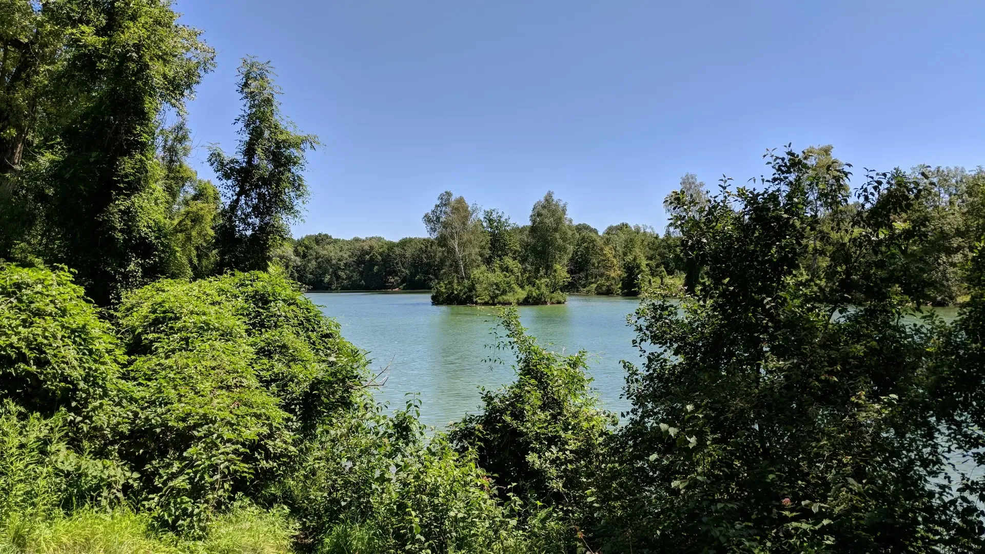
Easy hiking trails in Südliche Fröttmaninger Heide offer a diverse landscape of open meadows, shallow ponds, and pine forests. This protected nature reserve features varied terrain, including grasslands and heathland, providing a tranquil escape. The area is characterized by its mosaic of natural features, shaped in part by its history as a military training ground. Fröttmaninger Berg, a renaturalized hill, provides panoramic views of Munich.
Best easy hiking trails in Südliche Fröttmaninger Heide
- The most popular easy hiking route is…
Last updated: October 17, 2026
5.0
(2)
155
hikers
2.72km
00:42
10m
10m
Easy hike. Great for any fitness level. Easily-accessible paths. Suitable for all skill levels.
5.0
(1)
23
hikers
Easy hike. Great for any fitness level. Easily-accessible paths. Suitable for all skill levels.

4.8
(12)
73
hikers
Easy hike. Great for any fitness level. Easily-accessible paths. Suitable for all skill levels.
5.0
(1)
18
hikers
Easy hike. Great for any fitness level. Easily-accessible paths. Suitable for all skill levels.
5.0
(1)
22
hikers
Easy hike. Great for any fitness level. Easily-accessible paths. Suitable for all skill levels.
Get access to more routes and recommendations from other explorers.
Already have an account?
Our route recommendations are based on thousands of hikes, rides, and runs completed by other people on komoot.
Start today with a free account
Your next adventure awaits.
Popular around Südliche Fröttmaninger Heide
Other adventures in Südliche Fröttmaninger Heide

Tips from the Community

Helene Fischer 360° Stadium Tour on 17.07.2026
0
0

The Fröttmaninger Müllberg is 75 meters high and a wind turbine has stood on its summit since 1999. In 1954, the Großlappen landfill was opened to utilize and dispose of the growing amount of waste generated during the economic miracle. The nearby settlement of Fröttmaning, with the exception of the church, gradually had to make way for the growing garbage mountain. When the recycling and separation plant burned down in 1965, waste was only landfilled or incinerated in the waste incineration plant. More info: https://de.wikipedia.org/wiki/Fr%C3%B6ttmaninger_Berg and https://www.wochenanzeiger.de/mwa52616
0
0


A toast to the Emperor. No matter what was schemed regarding the assignments, Franz is and remains a shining figure.
2
0

Heiligkreuz - Catholic Church of the former village of Fröttmaning from 815 - Current building probably early 14th century - Pilgrimage church
0
0
Heilig Kreuz Kirche 💒 - Oldest preserved church building in the Munich city area - München-Freimann-Fröttmaning
0
0

From up here you have a great 360° view.
1
0

On the Heiderundweg trail you stroll through the typical Fröttmaning heath landscape, pass sheep pastures and enjoy wide views over the landscape.
0
0
Frequently Asked Questions
How many easy hiking trails are available in Südliche Fröttmaninger Heide?
Südliche Fröttmaninger Heide offers a wide selection of easy hiking trails, with over 1,300 routes suitable for various fitness levels. These paths allow you to explore the diverse landscapes of the nature reserve.
What makes Südliche Fröttmaninger Heide a unique place for easy hikes?
This protected nature reserve stands out with its mosaic of open meadows, shallow ponds, and pine forests. It's recognized as one of Central Europe's largest continuous heathland areas, offering a tranquil escape with rare plant species, all within close proximity to Munich.
Are there any viewpoints or landmarks to see on easy hikes?
Yes, several easy routes offer interesting sights. The HeideHaus environmental station provides information about the biotope. You can also ascend Fröttmaninger Berg, a renaturalized hill, for panoramic views of Munich and the Alps on clear days. The modern Allianz Arena also provides a striking contrast to the natural heathland.
Can I find easy routes that pass by the Allianz Arena?
Absolutely. The Southern Fröttmaninger Heath – View of Allianz Arena loop from Freimann is an easy 2.7-mile (4.4 km) trail that leads through heathland and open areas, offering views of the stadium. Another option is the Esplanade to the Allianz Arena – Allianz Arena loop from Fröttmaning.
Are the easy hiking trails suitable for families with children?
Yes, Südliche Fröttmaninger Heide offers many easy paths that are suitable for families. The terrain is generally accessible, with options for short strolls. Routes like the Southern Fröttmaning Heath – HeideHaus loop from Schwabing-Freimann are great for a family outing.
What are the rules for bringing dogs on the easy trails?
The reserve has specific rules regarding dogs to protect its sensitive ecosystem. Leashing requirements vary depending on the protection zone. Always ensure your dog is on a leash where required and stay on marked paths.
Are there any circular easy hiking routes?
Yes, many of the easy trails in Südliche Fröttmaninger Heide are circular, allowing you to start and end at the same point. For example, the Allianz Arena – View from Fröttmaninger Berg loop from Fröttmaning is an easy 2.7-mile (4.3 km) circular path that includes an ascent to Fröttmaninger Berg.
How long do the easy hikes typically take?
Easy hikes in Südliche Fröttmaninger Heide vary in length and duration. Many routes are short, taking around 40 minutes to 1 hour 30 minutes. For instance, the Allianz Arena – Allianz Arena loop from Fröttmaning is about 1.7 miles (2.7 km) and takes approximately 40 minutes.
What do other hikers enjoy most about the easy trails in Südliche Fröttmaninger Heide?
The area is highly rated by the komoot community, with an average score of 4.5 stars from over 3,700 reviews. Hikers often praise the tranquil escape offered by the heathland, the diverse landscapes, and the accessible paths that make it enjoyable for all skill levels. Many appreciate the unique blend of nature and views of the Allianz Arena.
Is there public transport access to the easy hiking trails?
Yes, the Südliche Fröttmaninger Heide is well-connected by public transport. The Fröttmaning Station (U6) is conveniently located near the reserve, providing easy access to many of the trailheads.
What kind of terrain can I expect on easy hikes?
The easy hikes feature a varied terrain, including grasslands, heathland, and pine forests. While generally flat, some routes, like those ascending Fröttmaninger Berg, include gentle inclines. The paths are typically well-maintained and easy to navigate.
When is the best time of year to go for an easy hike in Südliche Fröttmaninger Heide?
Südliche Fröttmaninger Heide is beautiful year-round. Spring brings blooming flora, summer offers warm, open spaces, and autumn provides vibrant colors. Even in winter, the heathland can be serene. The accessible paths make it enjoyable in most conditions, though appropriate footwear is always recommended.
Most popular routes in Südliche Fröttmaninger Heide
Most popular attractions in Südliche Fröttmaninger Heide

Get inspired with the komoot mobile app


Explore more
Browse the best Hikes in other regions.
