Easy hikes and walks in Magallanes Y Antártica Chilena
4.6
(2873)
28,063
hikers
96
hikes
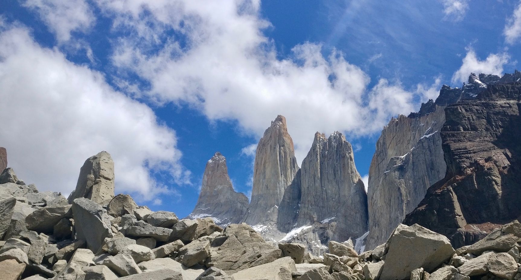
Easy hiking trails in Magallanes Y Antártica Chilena traverse a landscape defined by dramatic glacial formations, intricate fjord systems, and unique Magellanic forests. The region features iconic granite peaks, turquoise lakes, and diverse ecosystems, particularly within protected wild areas like Torres del Paine National Park. Hikers encounter varied terrain, from forest paths with coigüe and lenga trees to routes offering views of glaciers and fjords.
Best easy hiking trails in Magallanes Y Antártica Chilena
- The most popular easy hiking route…
Last updated: July 7, 2026
4.9
(122)
1,241
hikers
6.25km
01:41
80m
80m
Easy hike. Great for any fitness level. Easily-accessible paths. Suitable for all skill levels.
4.6
(62)
542
hikers
5.73km
01:32
60m
60m
Easy hike. Great for any fitness level. Easily-accessible paths. Suitable for all skill levels.

Sign up for free
4.6
(18)
171
hikers
7.35km
01:56
70m
70m
Easy hike. Great for any fitness level. Easily-accessible paths. Suitable for all skill levels.
4.5
(12)
104
hikers
4.60km
01:32
200m
200m
Easy hike. Great for any fitness level. Easily-accessible paths. Suitable for all skill levels.
4.7
(20)
185
hikers
3.29km
01:11
200m
200m
Easy hike. Great for any fitness level. Easily-accessible paths. Suitable for all skill levels.
4.5
(11)
101
hikers
3.14km
00:48
10m
10m
Easy hike. Great for any fitness level. Easily-accessible paths. Suitable for all skill levels.
4.3
(11)
88
hikers
Easy hike. Great for any fitness level. Easily-accessible paths. Suitable for all skill levels.
12
hikers
4.30km
01:16
130m
130m
Easy hike. Great for any fitness level. Easily-accessible paths. Suitable for all skill levels.
5.0
(1)
11
hikers
Easy hike. Great for any fitness level. Easily-accessible paths. Suitable for all skill levels.
5.0
(1)
14
hikers
Easy hike. Great for any fitness level. Easily-accessible paths. Suitable for all skill levels.
Get access to more routes and recommendations from other explorers.
Sign up for free
Already have an account?
Our route recommendations are based on thousands of hikes, rides, and runs completed by other people on komoot.
Start today with a free account
Your next adventure awaits.
Login or Signup




Other adventures in Magallanes Y Antártica Chilena


Tips from the Community

There's nothing better to start or end a hike than a good coffee with magnificent views. The lake, the bridge, the mountains—the surroundings are absolutely unique.
0
0

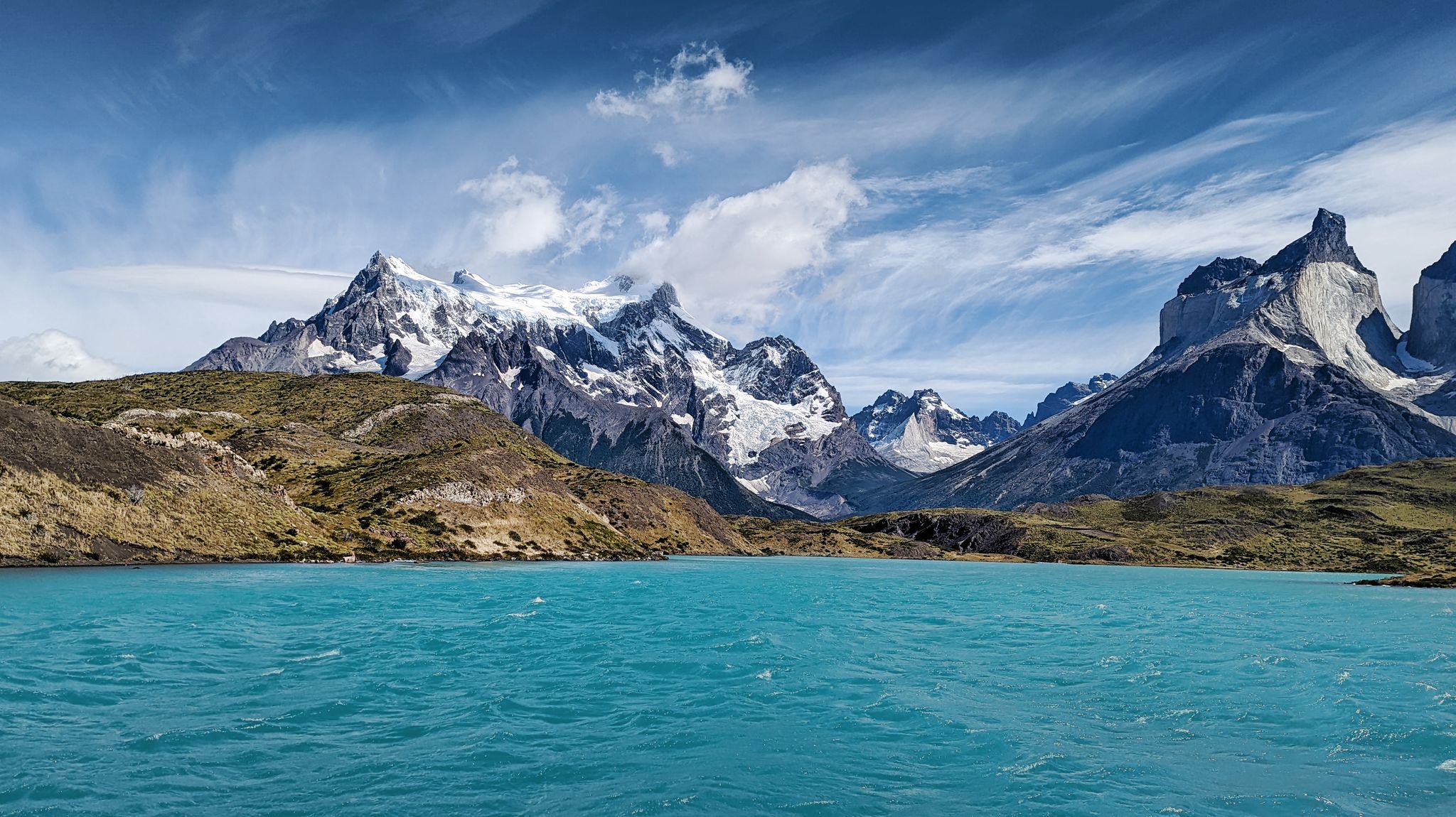
The view of the Cuernos del Paine and Lake Nordenskjöld, along the trail to the Cuernos viewpoint, is one of the park's most iconic sights: the sharp peaks rise above the turquoise lake, creating a spectacular contrast. It's a very pleasant and accessible section, ideal for enjoying the scenery without long hikes. The wind is often strong in this area, so it's advisable to wear windproof clothing and securely fasten all your gear.
0
0

The trail to the glacier begins among trees, with a clear path that ascends gently.
0
0
The wooden bridge spans a stream, allowing for safe crossing. At one end, you can see that it is dedicated to a local athlete.
0
0
Border Marker XXIV marks the border between Chile and Argentina in a wide-open natural setting, overlooking Lake Roca and the mountains that separate the two countries. It is reached via an easy, scenic trail within Tierra del Fuego National Park, ideal for a leisurely hike. It's a great place to rest and take photos, but always bring a windbreaker due to the frequent Patagonian winds.
2
0
The junction of the Cerro Guanaco and Hito XXIV trails is a clear and well-marked point within Tierra del Fuego National Park, useful for orientation before tackling the more demanding sections. From here, partial views of Lake Roca and the nearby mountains open up, making this a good place for a rest stop.
0
0
The viewpoint at Cerro Cóndor on the Hito XXIV trail offers a sweeping view of Lake Roca and the mountains that mark the border between Argentina and Chile. It's easily accessible via a well-marked path within Tierra del Fuego National Park, making it ideal to combine with the hike to the landmark. Bring a windbreaker, as the wind is often strong even on clear days.
0
0
This trail runs alongside the Lapataia River and offers stunning views of Salmon Island. Perfect for observing local wildlife.
0
0
Frequently Asked Questions
How many easy hiking trails are available in Magallanes Y Antártica Chilena?
The Magallanes Y Antártica Chilena region offers a wide selection of easy hiking trails. You can find 34 easy routes out of a total of 98 hiking tours in the area, providing accessible options for exploring its unique landscapes.
What kind of terrain can I expect on easy hikes in Magallanes Y Antártica Chilena?
Easy hikes in Magallanes Y Antártica Chilena typically traverse diverse terrain, including paths through unique Magellanic forests with coigüe and lenga trees, and routes offering views of dramatic glacial formations and intricate fjord systems. You'll often find well-defined paths suitable for a relaxed pace.
Are there any easy circular hiking routes in Magallanes Y Antártica Chilena?
Yes, there are easy circular routes available. For instance, the Sendero Mirador Grey — circular is an easy 3.6-mile (5.7 km) path that leads to a viewpoint overlooking Lago Grey, known for its floating icebergs.
What are some scenic easy hikes with great viewpoints in the region?
Many easy trails offer stunning views. The Mirador Cuernos desde lago Pehoé — ida y vuelta provides iconic views of the Cuernos del Paine from Lago Pehoé. Another option is the Ruta al mirador Cóndor — Parque Nacional Torres del Paine, which offers panoramic vistas within the national park.
Are easy trails in Magallanes Y Antártica Chilena suitable for families with kids?
Yes, many easy trails are suitable for families. The region's diverse forests and accessible viewpoints make for engaging walks. Trails within areas like Parque del Estrecho de Magallanes or the Cueva del Milodón Natural Monument often have well-maintained paths that are enjoyable for all ages.
What is the best season for easy hiking in Magallanes Y Antártica Chilena?
The dynamic climate of Magallanes Y Antártica Chilena ensures varied landscapes year-round. However, the austral summer (December to February) generally offers the most favorable weather conditions for hiking, with longer daylight hours and milder temperatures, making it ideal for easy trails.
Are there any specific permits required for easy hikes in Magallanes Y Antártica Chilena?
While many easy trails do not require specific permits beyond standard park entrance fees, it's always advisable to check the requirements for individual protected areas like Torres del Paine National Park or Tierra del Fuego National Park. These parks may have entrance fees or specific regulations for visitors.
How accessible are the easy hiking trails by public transport or car parking?
Accessibility varies by location. Major hubs like Punta Arenas and Puerto Natales serve as gateways, with some trails having designated parking areas. For trails within national parks or more remote areas, public transport options might be limited, making car access or organized tours more practical. Always check specific trailheads for parking availability.
What natural features or landmarks can I see along easy hiking trails?
Easy trails often lead to stunning natural features. You can encounter floating icebergs at Icebergs in Grey Lake, or enjoy views from Martial Glacier Viewpoint. Many routes also offer glimpses of the iconic granite peaks and turquoise lakes that define the region.
What do other hikers enjoy most about easy hiking in Magallanes Y Antártica Chilena?
The area is highly rated by the komoot community, with an average score of 4.6 stars from over 2,100 reviews. Hikers often praise the breathtaking natural beauty, the accessibility of trails leading to iconic viewpoints, and the unique experience of exploring glacial landscapes and Magellanic forests.
Are there opportunities to see wildlife on easy hiking trails?
Yes, the region is rich in wildlife. While hiking, you might spot guanacos, condors, or various bird species. For specific wildlife viewing, consider visiting areas like Parque Pingüino Rey for king penguins or Magdalena Island for Magellanic penguins, though these might require separate excursions from hiking trails.
Can I find easy trails that are less crowded?
While popular spots like Torres del Paine can attract many visitors, exploring trails slightly off the main circuits or visiting during the shoulder seasons (spring or autumn) can offer a more tranquil experience. Areas within Parque del Estrecho de Magallanes or some of the less-known routes around Punta Arenas might also be less crowded.
Most popular routes in Magallanes Y Antártica Chilena
Most popular attractions in Magallanes Y Antártica Chilena

Get inspired with the komoot mobile app


Didn’t find what you were looking for?
Check out more Hikes throughout Magallanes Y Antártica Chilena below and find the perfect route in your destination.
Explore more
Browse the best Hikes in other regions.
