Easy hikes and walks around Ruthin
4.6
(1334)
11,583
hikers
244
hikes
Easy hiking trails around Ruthin traverse the varied landscapes of Denbighshire, North Wales, offering access to the Clwydian Range, a designated Area of Outstanding Natural Beauty. The region features heather-clad hills, such as Moel Famau and Foel Fenlli, and lush, rolling terrain within the Vale of Clwyd. Rivers like Afon Clwyd and Afon Clywedog contribute to scenic routes through wooded valleys and along riverside paths.
Best easy hiking trails around Ruthin
- The most popular easy hiking route is Moel Famau…
Last updated: October 17, 2026
5.0
(1)
22
hikers
7.11km
01:56
100m
100m
Easy hike. Great for any fitness level. Easily-accessible paths. Suitable for all skill levels.
6
hikers
6.18km
01:54
200m
200m
Easy hike. Great for any fitness level. Easily-accessible paths. Suitable for all skill levels.

3
hikers
3.47km
00:56
40m
40m
Easy hike. Great for any fitness level. Easily-accessible paths. Suitable for all skill levels.
4
hikers
3.03km
00:50
50m
50m
Easy hike. Great for any fitness level. Easily-accessible paths. Suitable for all skill levels.
2
hikers
Easy hike. Great for any fitness level. Easily-accessible paths. Suitable for all skill levels.
Get access to more routes and recommendations from other explorers.
Already have an account?
Our route recommendations are based on thousands of hikes, rides, and runs completed by other people on komoot.
Start today with a free account
Your next adventure awaits.

Tips from the Community

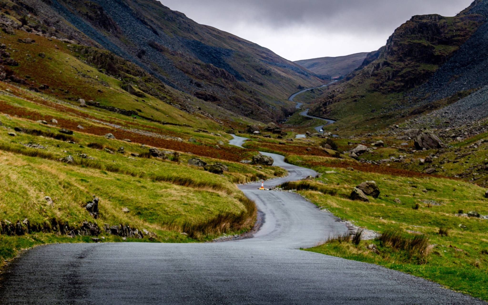
This was used in 2015 Mark Cavendish sportive. Hard climb but well worth it
2
0
Ruthin is a market town and community in Denbighshire, Wales, in the south of the Vale of Clwyd. It is Denbighshire's county town. The town, castle and St Peter's Square lie on a hill, skirted by villages such as Pwllglas and Rhewl. Make sure you stop at the tower clock.
3
0

Smashing little town centre. Good to ride in with some grade listed building not forgetting the pubs.
0
3
Wonderful little town centre. Good to ride in with some grade listed building not forgetting the nice coffee and cakes shop
4
0


Historic house and gardens. Open Thursday, Friday and Saturday April to September.
0
0

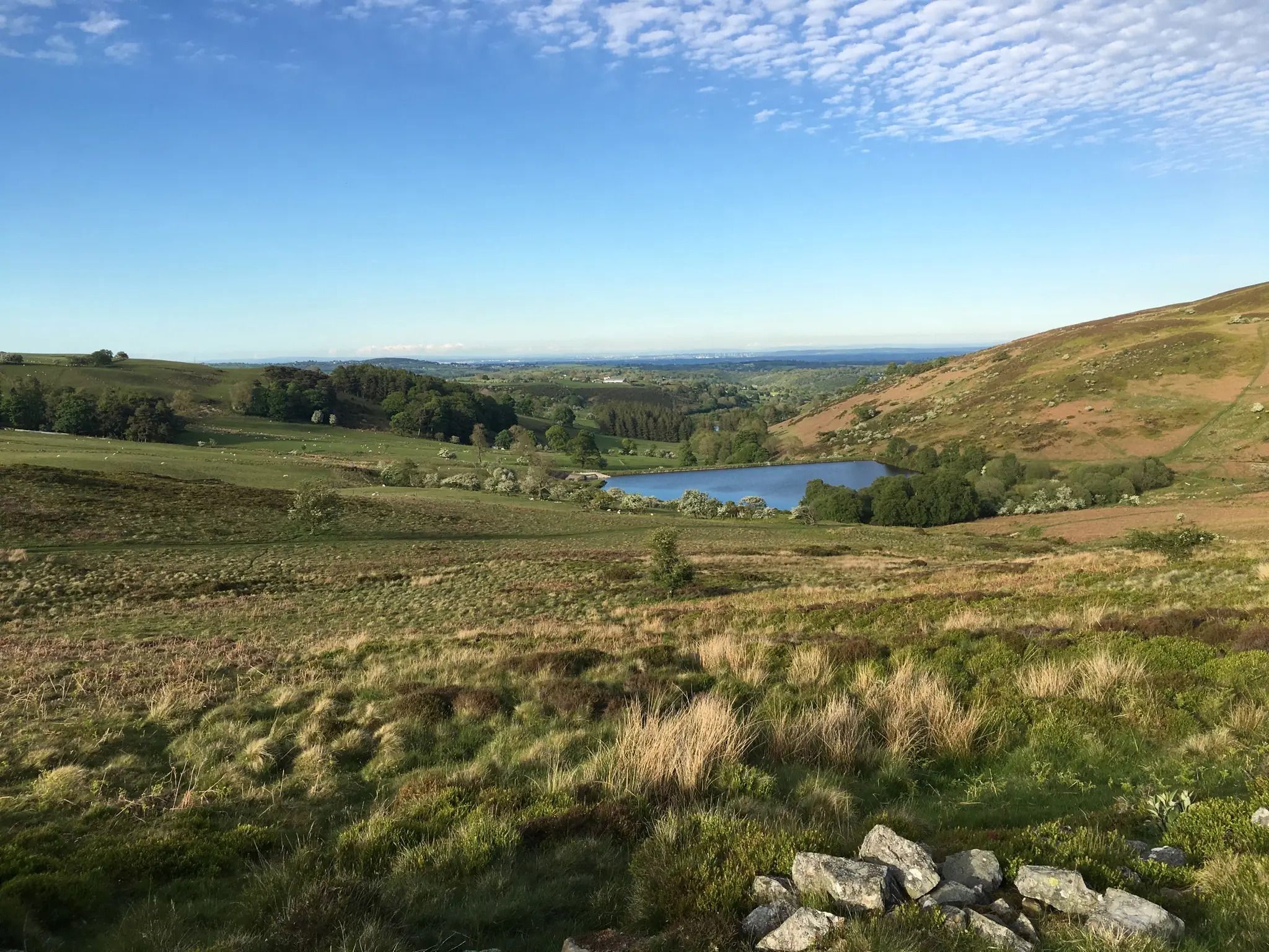
On clear days can see all snowdon range and cadir idris
0
0
Brilliant walk to the Jubilee Tower please ensure you pay your car park charge
0
0
Frequently Asked Questions
How many easy hiking trails are available around Ruthin?
Ruthin offers a wide selection of easy hiking trails, with over 75 routes specifically categorized as easy. In total, the area features more than 240 hiking routes, catering to various preferences and fitness levels.
What kind of terrain can I expect on easy hikes in Ruthin?
Easy hikes around Ruthin feature diverse terrain. You'll find paths traversing the heather-clad hills of the Clwydian Range, lush rolling landscapes within the Vale of Clwyd, and scenic routes following rivers like Afon Clwyd and Afon Clywedog through wooded valleys. Many trails are well-maintained and suitable for a relaxed walk.
Are there any easy circular walks in Ruthin?
Yes, many easy trails around Ruthin are circular, allowing you to start and end at the same point. For example, the Moel Famau Car Park – Coed Moel Famau loop is an easy 2.4-mile (3.8 km) path that takes you through woodlands. Another option is the Moel Famau Car Park – Foel Fenlli Summit and Cairn loop, which is 1.7 miles (2.7 km) and offers views towards Foel Fenlli.
What are some scenic viewpoints or landmarks I can see on an easy hike?
Easy hikes in the Ruthin area offer several scenic views and landmarks. You can enjoy magnificent views across the Vale of Clwyd towards Snowdonia from the Clwydian Range. The Jubilee Tower on Moel Famau is a notable landmark, and the Iron Age hillfort at Foel Fenlli summit provides extensive views. The View of the Clwydian Range – Foel Fenlli Summit and Cairn loop from Gyrn is a great option for panoramic vistas.
Are the easy hiking trails in Ruthin suitable for families with children?
Yes, many easy trails in Ruthin are ideal for families. The varied landscapes, including woodlands and gentle hills, provide engaging environments for children. Routes like the Moel Famau Car Park – Coed Moel Famau loop are particularly family-friendly, offering sheltered walking through forests.
Can I bring my dog on easy hikes around Ruthin?
Generally, dogs are welcome on many hiking trails around Ruthin. The region's diverse paths, from riverside strolls to woodland tracks, offer great opportunities for walks with your canine companion. However, always keep dogs under control, especially near livestock, and check for any specific local restrictions or signage on individual routes.
What is the best time of year for easy hikes in Ruthin?
Ruthin is beautiful year-round for easy hikes. Spring brings blooming wildflowers, while summer offers warm weather for exploring the hills and valleys. Autumn showcases stunning foliage, and even winter can be picturesque with crisp air and occasional snow on higher ground. Always check local weather conditions before heading out.
Are there parking facilities available near the easy hiking trails?
Yes, many popular trailheads for easy hikes around Ruthin, especially within the Clwydian Range, offer designated parking facilities. For instance, routes often start from areas like Moel Famau Car Park, providing convenient access to the trails.
What do other hikers say about the easy trails in Ruthin?
The hiking routes in Ruthin are highly regarded by the komoot community, holding an average rating of 4.5 stars from over 200 reviews. Hikers frequently praise the area's stunning natural beauty, well-maintained paths, and the variety of landscapes, from open hills to tranquil woodlands.
Are there any historical sites or cultural attractions near the easy hiking routes?
Beyond the natural beauty, Ruthin and its surroundings are rich in history. You can explore the remains of the Jubilee Tower on Moel Famau, or visit the Iron Age hillfort at Foel Fenlli. The town of Ruthin itself offers historic walks, including the Ruthin Town Trail, which highlights its 13th-century mill and St Peter's Church. For more information on the town's attractions, you can visit cyngortrefrhuthun.gov.uk.
What is the typical distance and elevation gain for easy hikes in Ruthin?
Easy hikes in Ruthin vary in length, typically ranging from 1.5 to 4 miles (2.5 to 6.5 km). Elevation gain is generally moderate, often between 100 to 200 meters (300 to 650 feet), making them accessible for most fitness levels. For example, the Moel Famau Car Park – Pond on the Moel Famau Trail loop is about 4 miles (6.5 km) with around 160 meters of elevation gain.
Are there any easy trails that follow the Offa's Dyke Path?
Yes, sections of the historic Offa's Dyke Path traverse the Clwydian Range, offering accessible segments for easy hiking. For instance, the Offa's Dyke Path to Moel Famau – View of Moel Famau loop is an easy 1.8-mile (2.9 km) route that allows you to experience a part of this famous long-distance trail.
Most popular attractions around Ruthin

Get inspired with the komoot mobile app


Explore more
Browse the best Hikes in other regions.
