Easy hikes and walks around Holme East Waver
4.1
(129)
1,016
hikers
48
hikes
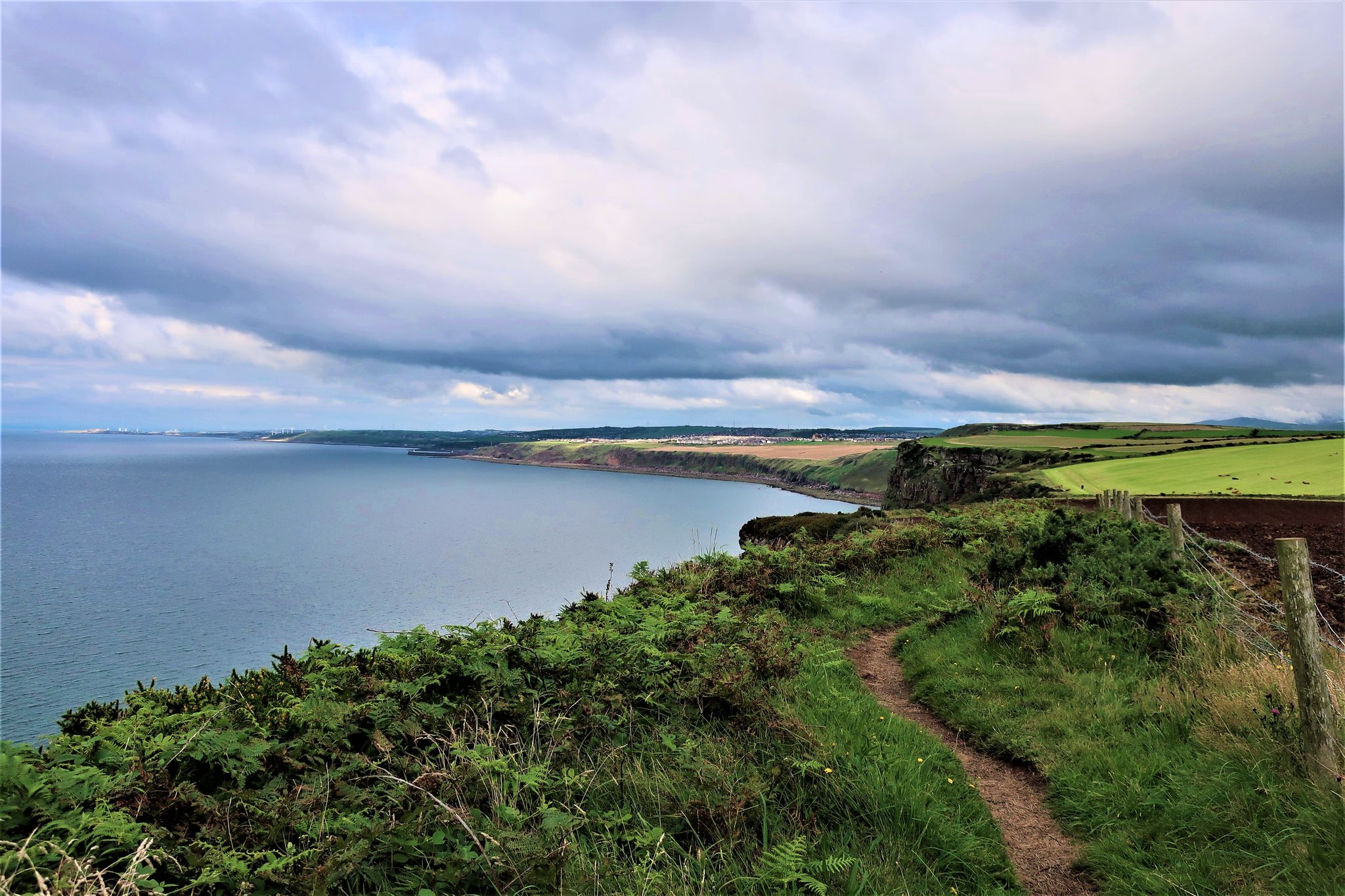
Easy hiking trails around Holme East Waver traverse a landscape characterized by coastal paths and low-lying terrain. The region offers routes with minimal elevation gain, making them accessible for various fitness levels. These trails often feature views of the Solway Firth and its surrounding natural habitats.
Best easy hiking trails around Holme East Waver
- The most popular easy hiking route is Anthorn Radio Station – Skinburness Coastal Path loop from Silloth-on-Solway, a 2.3 miles (3.7 km) trail that takes…
Last updated: October 17, 2026
4.0
(3)
28
hikers
Easy hike. Great for any fitness level. Easily-accessible paths. Suitable for all skill levels.
4.8
(4)
18
hikers
7.58km
01:55
10m
10m
Easy hike. Great for any fitness level. Easily-accessible paths. Suitable for all skill levels.

4.0
(3)
7
hikers
7.20km
01:49
10m
10m
Easy hike. Great for any fitness level. Easily-accessible paths. Suitable for all skill levels.
4.0
(3)
7
hikers
7.02km
01:47
10m
10m
Easy hike. Great for any fitness level. Easily-accessible paths. Suitable for all skill levels.
3.0
(2)
14
hikers
3.99km
01:01
10m
10m
Easy hike. Great for any fitness level. Easily-accessible paths. Suitable for all skill levels.
Get access to more routes and recommendations from other explorers.
Already have an account?
Our route recommendations are based on thousands of hikes, rides, and runs completed by other people on komoot.
Start today with a free account
Your next adventure awaits.
Popular around Holme East Waver
Other adventures around Holme East Waver

Tips from the Community

If you are a runner, biker, or hiker, this stretch of road between Bowness-on-Solway and Port Carlisle is super flat and easygoing. The views out over the estuary are very pretty, and Port Carlisle itself is very interesting.
0
0
Bowness-on-Solway is best known as being the western end of the iconic Hadrian's Wall. There is a small shelter here to mark the start of this national trail. You will not see much of the wall until after Carlisle, but the wall did originally start at the village with even more forts further down the coast. Being an estuary, this area is also a haven for wildlife and birdwatching.
0
0
This is really the start of the Hadrians Wall National Trail. A lot of people stay here the night before the start of the walk. It’s a great start point too. The owners and staff couldn’t be more helpful, they are super nice and made our stay a splendid one.
0
0

In 1823, a 11.5 mile canal was dug to link the Solway Firth to Carlisle for the transport by barge of heavy goods. The canal was eventually filled in and replaced by a railway line.
0
0
In 1823, a 11.5 mile canal was dug to link the Solway Firth to Carlisle for the transport by barge of heavy goods. The canal was eventually filled in and replaced by a railway line.
0
0

Information about this magnificent long-distance hiking trail—along this border fortification dating back to Roman times (the 120s AD) and commissioned by Emperor Hadrian—is, of course, no longer confined to printed maps or books. Hikers who would like to gather information online in advance can find it on the official website: "Follow in the footsteps of Romans and trek alongside an ancient monument on a coast-to-coast walk across northern England" =>> https://www.nationaltrail.co.uk/en_GB/trails/hadrians-wall-path/
0
0
The northernmost border of the Roman Empire in the British Isles was secured against the Celtic tribes by a massive structure: Hadrian's Wall, built in the 120s. An episode of the television series "Treasures of the Roman Empire" on German television (ZDF) is dedicated to this 117-kilometer-long border fortification. The film (available only in German) can be accessed via the following link in the ZDF media library =>> https://www.zdf.de/dokumentation/zdfinfo-doku/schaetze-des-roemischen-reichs--der-hadrianswall-100.html
0
0

Hadrian's Wall stretches from Bowness-on-Solway (a short distance west of here) right across the country to the North Sea. It was built by the Romans, starting in AD122 and took about six years to complete.
1
0
Frequently Asked Questions
How many easy hiking trails are available in Holme East Waver?
Holme East Waver offers nearly 30 easy hiking trails, providing a variety of options for those seeking gentle walks with minimal elevation gain. These routes are perfect for exploring the region's unique coastal and mossland landscapes.
What kind of scenery can I expect on easy hikes in Holme East Waver?
Easy hikes in Holme East Waver primarily feature coastal paths with views of the Solway Firth, alongside unique mossland nature reserves like Glasson Moss. You'll also encounter low-lying agricultural areas and tranquil countryside, offering a diverse and serene walking experience.
Are there any family-friendly easy walks in Holme East Waver?
Yes, many of the easy trails in Holme East Waver are suitable for families. Routes like the Glasson Moss – Glasson Moss Boardwalk loop from Drumburgh offer flat terrain and interesting features like boardwalks, making them enjoyable for all ages. The minimal elevation gain across most routes ensures a comfortable experience for children.
Can I bring my dog on the easy hiking trails in Holme East Waver?
Most easy hiking trails in Holme East Waver are dog-friendly, but it's always recommended to keep dogs on a lead, especially in areas with livestock or protected wildlife, such as the mossland nature reserves. Always check local signage for specific restrictions.
What interesting landmarks or natural features can I see along easy trails?
Along the easy trails, you can discover several points of interest. The Anthorn Radio Station – Skinburness Coastal Path loop passes by the distinctive Anthorn Radio Station. You can also explore the unique landscape of Glasson Moss, featuring a boardwalk section on routes like the Glasson Moss – Glasson Moss Boardwalk loop. Nearby attractions include the historic Hadrian's Wall Path Pavilion and Stamping Station and the Solway Coast National Landscape.
Are there any circular easy walks in Holme East Waver?
Yes, many of the easy trails in Holme East Waver are circular, allowing you to start and end at the same point. Examples include the Molly's Path – Glasson Moss loop from Bowness and the Garden Bistro – Bowness-on-Solway loop from Bowness-on-Solway, which offer convenient round trips through coastal and mossland areas.
What is the best time of year to go hiking in Holme East Waver?
The best time to hike in Holme East Waver is generally from spring through autumn (April to October) when the weather is milder and the coastal and mossland paths are most accessible. While winter walks are possible, be prepared for potentially wet and windy conditions, especially along the exposed coastline.
What do other hikers enjoy most about the easy trails in Holme East Waver?
The easy trails in Holme East Waver are highly rated by the komoot community, with an average score of 4.1 stars. Hikers often praise the peaceful coastal views, the unique experience of walking through the mossland nature reserves, and the accessibility of the low-lying terrain, making them perfect for a relaxing outdoor escape.
Is parking available near the easy hiking trails?
Parking is generally available at or near the starting points of many easy trails in Holme East Waver, particularly in villages or designated car parks. For specific routes, it's advisable to check the route details on komoot for parking information before you set out.
Are there any cafes or pubs near the easy hiking routes?
While the immediate trailheads might be rural, charming villages like Bowness-on-Solway and Silloth-on-Solway, which serve as starting points for several easy hikes, often have local cafes, pubs, or bistros where you can refresh yourself after your walk. For example, the Garden Bistro – Bowness-on-Solway loop starts near a bistro.
What is the terrain like on easy hikes in Holme East Waver?
The terrain on easy hikes in Holme East Waver is predominantly flat and low-lying, characterized by coastal paths, well-maintained trails through mossland nature reserves, and agricultural tracks. You can expect minimal elevation changes, making these routes comfortable for all fitness levels.
Are there any historical sites or ruins to see on these easy walks?
Yes, the region has historical significance. You can find remnants like the Solway Junction Railway Viaduct Remains, offering a glimpse into the area's past. Additionally, the nearby Drumburgh Castle adds to the historical context of the landscape you'll be exploring.
Most popular routes around Holme East Waver
Most popular attractions around Holme East Waver

Get inspired with the komoot mobile app


Explore more
Browse the best Hikes in other regions.
