Easy hikes and walks around Todmorden
4.7
(266)
1,917
hikers
115
hikes
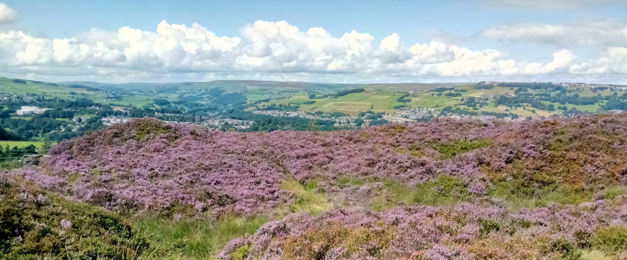
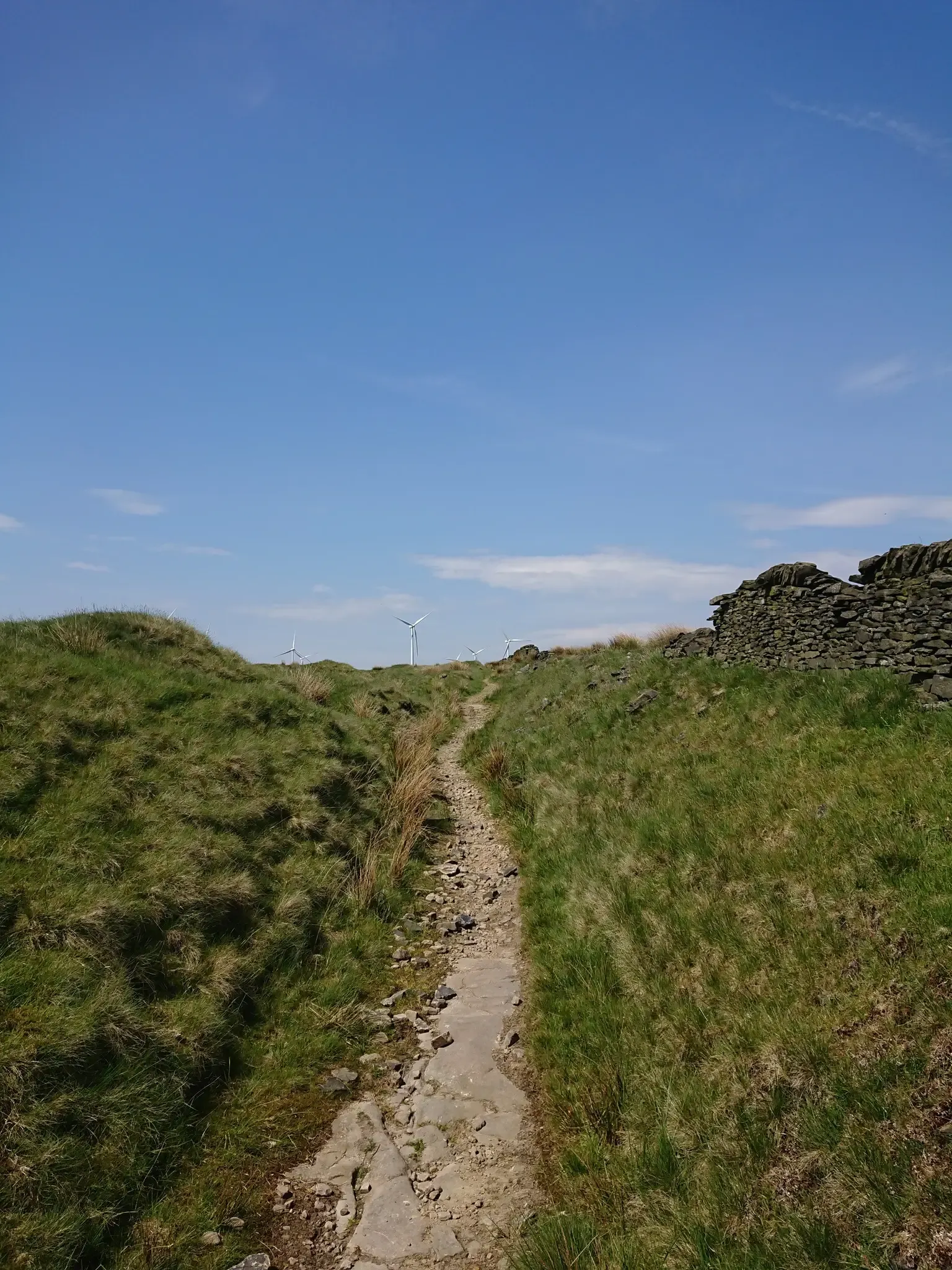
Easy hiking trails around Todmorden are set within the dramatic Calder Valley, characterized by open moorland, deep valleys, and a network of footpaths. The region features prominent hills like Stoodley Pike, which offers expansive views, and the Rochdale Canal providing gentle, flat routes. This diverse landscape includes wooded areas, exposed moors, and unique features such as Gaddings Dam.
Best easy hiking trails around Todmorden
- The most popular easy hiking route is Trail to Gaddings Dam – Gaddings Dam Beach loop…
Last updated: June 30, 2026
4.5
(6)
72
hikers
6.00km
01:34
50m
50m
Easy hike. Great for any fitness level. Easily-accessible paths. Suitable for all skill levels.
4.3
(3)
31
hikers
3.48km
01:06
120m
120m
Easy hike. Great for any fitness level. Easily-accessible paths. Suitable for all skill levels.

Sign up for free
5.0
(1)
51
hikers
6.53km
01:57
180m
180m
Easy hike. Great for any fitness level. Easily-accessible paths. Suitable for all skill levels.
5.0
(3)
73
hikers
4.62km
01:29
180m
180m
Easy hike. Great for any fitness level. Easily-accessible paths. Suitable for all skill levels.
5.0
(2)
25
hikers
4.92km
01:25
120m
120m
Easy hike. Great for any fitness level. Easily-accessible paths. Suitable for all skill levels.
Get access to more routes and recommendations from other explorers.
Sign up for free
Already have an account?
Our route recommendations are based on thousands of hikes, rides, and runs completed by other people on komoot.
Start today with a free account
Your next adventure awaits.
Login or Signup


Tips from the Community

The Marina in the centre of Hebden Bridge , nice cobbled area to sit and watch the world go by
0
0
A nice place to sit and watch the narrow boats negotiate the lock gates
0
0
The red and blue scars of the Calderdale moors a great part of the route to Stoodley Pike
0
0
Ancient leaning standing stone on the moors heading towards Stoodley Pike
0
0

Lots of great walks to the Stoodley Pike monument to give great views across Calderdale and the South Pennines
0
0
Lots of great walks to the Stoodley Pike monument to give great views across Calderdale and the South Pennines
0
0
Lots of great walks to the Stoodley Pike monument to give great views across Calderdale and the South Pennines
1
0

1of3 cafés in Yorkshire also at Halifax and Brighouse
0
0
Frequently Asked Questions
How many easy hiking trails are available around Todmorden?
There are over 45 easy hiking trails around Todmorden, offering a variety of landscapes from canal towpaths to moorland paths. In total, the region features more than 115 hiking routes across all difficulty levels.
Are there any easy circular walks in Todmorden?
Yes, many easy trails around Todmorden are circular. For example, the Trail to Gaddings Dam – Gaddings Dam Beach loop from Todmorden is an easy 3.5 km circular route. Another option is the Stoodley Pike Monument – Stoodley Pike Monument loop from Mankinholes, which is a 6.5 km easy loop offering great views.
What kind of scenery can I expect on easy hikes in Todmorden?
Easy hikes in Todmorden offer diverse scenery, from the gentle towpaths of the Rochdale Canal to open moorland and wooded valleys. You'll find dramatic natural features, including prominent hills like Stoodley Pike, and unique spots like Gaddings Dam, known as 'England's highest beach'.
Are there family-friendly easy walks in Todmorden?
Todmorden offers several family-friendly easy walks. The flat towpaths along the Rochdale Canal are ideal for all ages, and Centre Vale Park provides easy paths through woodlands and formal gardens. Routes like the Trail to Gaddings Dam – Gaddings Dam Beach loop from Todmorden are also popular for families looking for a shorter, scenic outing.
Can I bring my dog on easy hiking trails in Todmorden?
Most easy hiking trails around Todmorden are dog-friendly, especially those on public footpaths and moorland. Always keep dogs under control, particularly near livestock, and check for any specific local restrictions. The canal towpaths are generally excellent for walks with dogs.
What are some notable landmarks or attractions I can see on an easy hike?
On easy hikes, you can encounter several notable landmarks. The Stoodley Pike Monument is a prominent feature visible from many trails, offering expansive views. You might also find interesting historical sites like the Cheesden Lumb Mill Ruins and Waterfall or natural monuments like the Blackstone Edge trig point.
Are there any easy trails that feature waterfalls?
Yes, the Todmorden area has some beautiful waterfalls that can be incorporated into your hikes. You can explore areas with waterfalls like Lumb Falls, Pingot Quarry Waterfall, or the Fairy Bridge and Waterfall at Healey Dell Nature Reserve, which are often accessible via easy paths.
What do other hikers enjoy most about easy hikes in Todmorden?
The easy hikes in Todmorden are highly rated by the komoot community, with an average score of 4.7 stars from over 220 reviews. Hikers frequently praise the stunning views from the moorlands, the tranquility of the canal paths, and the accessibility of unique spots like Gaddings Dam.
Are there easy hiking routes accessible by public transport in Todmorden?
Todmorden is well-served by public transport, making many easy trails accessible. The town's train station and bus routes connect to various starting points for walks, including those along the Rochdale Canal and paths leading towards the surrounding hills. Always check local transport schedules for the most up-to-date information.
Where can I find parking for easy walks in Todmorden?
Parking is generally available in and around Todmorden town centre, often near the Rochdale Canal for easy towpath access. For trails heading into the moors, smaller car parks or roadside parking might be available near villages like Mankinholes, which serves as a starting point for routes to Stoodley Pike.
What is the typical length and duration of easy walks around Todmorden?
Easy walks around Todmorden vary in length, typically ranging from 3 km to 6.5 km. These routes can take anywhere from just over an hour to about two hours to complete, depending on the specific trail and your pace. For instance, the The Chiser Standing Stone – Stoodley Pike Monument loop from Mankinholes is 4.6 km and takes about 1 hour 29 minutes.
Are there any easy trails that lead to a pub or cafe?
Yes, several easy trails in and around Todmorden can be planned to include a stop at a pub or cafe. The Rochdale Canal towpath, for example, connects to various towns with amenities. The Hebden Old Bridge – Hebden Bridge Beer Garden Café loop from Erringden is a 6.3 km easy route specifically designed to pass by a cafe, offering a pleasant break during your walk.
Most popular routes around Todmorden
Most popular attractions around Todmorden

Get inspired with the komoot mobile app


Explore more
Browse the best Hikes in other regions.
