Easy hikes and walks around Litija
4.6
(358)
2,837
hikers
99
hikes
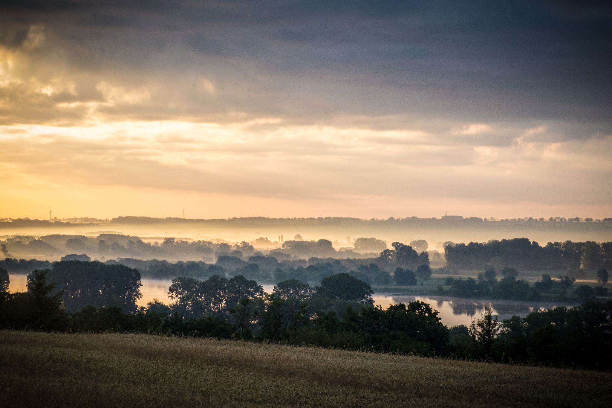
Easy hiking trails around Litija traverse a landscape characterized by rolling hills, lush forests, and the meandering Sava River. The region, part of central Slovenia, offers diverse terrain, including the prominent Posavsko hribovje hills. These natural features contribute to scenic paths that wind through varied environments, providing accessible outdoor experiences.
Best easy hiking trails around Litija
- The most popular easy hiking route is Hiking loop from Lukovica, a 2.5 miles (4.0 km) trail that takes 1 hour 24 minutes to complete, offering views of the surrounding hills.
- Another top favourite among local hikers is Kucelj Summit (748 m) loop from Blečji Vrh, an easy 3.1 miles (5.0 km) path. This route provides panoramic views from Kucelj Summit.
- Local hikers also love the Kum Mountain Hut – Kum Summit (1220 m) loop from Kum, a 3.7 miles (6.0 km) trail leading through forested slopes to a mountain hut, often completed in about 1 hour 52 minutes.
- Hiking around Litija is defined by rolling hills, dense forests, and paths along the Sava River, with the network offering options for different ability levels.
- The routes in Litija are highly rated by the komoot community with an average score of 4.6 stars from over 290 reviews. More than 2,500 hikers have used komoot to explore Litija's varied terrain.
Last updated: October 17, 2026
5.0
(2)
52
hikers
3.98km
01:24
240m
240m
Easy hike. Great for any fitness level. Easily-accessible paths. Suitable for all skill levels.
3.0
(1)
32
hikers
5.04km
01:33
190m
190m
Easy hike. Great for any fitness level. Easily-accessible paths. Suitable for all skill levels.

5.0
(4)
27
hikers
6.11km
01:53
240m
240m
Easy hike. Great for any fitness level. Easily-accessible paths. Suitable for all skill levels.
5.0
(2)
22
hikers
5.41km
01:39
190m
190m
Easy hike. Great for any fitness level. Easily-accessible paths. Suitable for all skill levels.
5.0
(1)
18
hikers
2.28km
00:52
160m
160m
Easy hike. Great for any fitness level. Easily-accessible paths. Suitable for all skill levels.
3.7
(3)
18
hikers
5.94km
01:31
20m
20m
Easy hike. Great for any fitness level. Easily-accessible paths. Suitable for all skill levels.
5.0
(1)
15
hikers
5.15km
01:43
240m
240m
Easy hike. Great for any fitness level. Easily-accessible paths. Suitable for all skill levels.
5.0
(2)
16
hikers
6.47km
01:42
50m
50m
Easy hike. Great for any fitness level. Easily-accessible paths. Suitable for all skill levels.
4.0
(1)
9
hikers
Easy hike. Great for any fitness level. Easily-accessible paths. Suitable for all skill levels.
6
hikers
2.99km
00:46
10m
10m
Easy hike. Great for any fitness level. Easily-accessible paths. Suitable for all skill levels.
Get access to more routes and recommendations from other explorers.
Already have an account?
Our route recommendations are based on thousands of hikes, rides, and runs completed by other people on komoot.
Start today with a free account
Your next adventure awaits.
Popular around Litija
Other adventures around Litija

Tips from the Community

Trbovlje Cultural Center: The Trbovlje Workers' Home (Delavski dom Trbovlje) was built in 1956 according to plans by architect Marko Župančič as the central cultural center in the Zasavje mining region. It was created through the initiative and labor of the local population as a symbol of socialist construction. The building is known for its modern architecture and mosaic decoration by Marij Pregelj, and today it serves as a center for art, culture, and new media.
0
0

View from Grintovec in the north to Sneznik in the south
0
0
The mountain hut is open every day from 08:00 (as of January 2026).
0
0

At the 1,220-meter-high summit of Kum, modernity and history collide. Here, you'll find a huge transmission tower and an old stone church. There were actually two churches on the summit, but one had to make way for the transmission tower. There's also a mountain hut where you can stay overnight.
0
0

The house stands on the hilly Janški Hill, the highest peak of the Janško Hills. Further information and opening hours can be found here: https://www.pzs.si/koce.php?pid=147.
1
0

The round house was built due to the need for housing and economic growth. It is located opposite the Dimnik house. It has 5 floors and is round. Because of its shape it is considered a landmark of Trbovlje
0
0

Frequently Asked Questions
How many easy hiking trails are available around Litija?
Litija offers a wide selection of easy hiking trails, with over 35 routes specifically categorized as easy. In total, the region features nearly 100 hiking trails, catering to various preferences and fitness levels.
What kind of landscapes can I expect on easy hikes in Litija?
Easy hikes in Litija traverse diverse and picturesque landscapes. You'll find yourself among rolling hills, lush forests, and scenic paths winding along the meandering Sava River. The region is characterized by the prominent Posavsko hribovje hills, offering panoramic views and a serene environment.
Are there any easy circular hiking routes in Litija?
Yes, Litija has several easy circular routes perfect for a relaxed day out. For example, the Kucelj Summit (748 m) loop from Pungrt offers a pleasant 5.4 km walk with views. Another option is the shorter Gasilski Dom Dolsko loop from Dolsko, which is just under 3 km.
What are some interesting landmarks or natural features to see on easy hikes?
Litija's easy hikes can lead you to various points of interest. You might encounter historical sites like Valvazor Castle Bogenšperk, or natural wonders such as the Litija Gorge and the Kresnice Gorge, known for dramatic cliffs and waterfalls. The Sava River itself offers scenic views, including a distinctive meander near the town.
Are there any waterfalls accessible on easy trails in Litija?
Yes, the Litija region is home to beautiful cascades. Hikers can discover waterfalls like Višnjica Waterfall and Košca Waterfall, with dedicated trails often leading to them. The Kresnice Gorge Trail is also celebrated for its cascading waterfalls.
What do other hikers say about the easy trails in Litija?
The easy trails in Litija are highly regarded by the komoot community, with an average rating of 4.6 stars from over 290 reviews. Hikers frequently praise the quiet woodlands, well-marked paths, and the diverse natural beauty, from rolling hills to riverine landscapes.
Are the easy hiking trails in Litija suitable for families with children?
Many of Litija's easy trails are ideal for families. The gentle terrain and shorter distances make them accessible for children. Thematic trails like the Charcoal Trail or the Archaeological Trail Vače offer an engaging way to explore the region's history and nature, providing points of interest to keep younger hikers entertained.
Can I bring my dog on the easy hiking trails in Litija?
Generally, dogs are welcome on most hiking trails in Litija, provided they are kept on a leash and you clean up after them. The varied terrain, from forest paths to open meadows, offers a great environment for dogs to enjoy alongside their owners. Always check specific trail regulations if posted.
What is the typical length and duration of easy hikes in Litija?
Easy hikes in Litija typically range from 2.5 km to 7 km in length. Most can be completed within 1 to 2 hours, making them perfect for a leisurely outing. For instance, the Mirna Castle – Sleeping Beauty Hiking Trail loop from Mirna is about 6.8 km and takes under 2 hours.
Are there any easy trails that offer panoramic viewpoints?
Absolutely. Many easy trails in Litija lead to spots with excellent panoramic views. The area around GEOSS (Geometrical Centre of Slovenia) at Vače is known for memorable vistas of the surrounding forests. Trails ascending to peaks like Kucelj Summit or Gradišče Peak, even on easy routes, often reward hikers with expansive views of the region's rolling hills.
What is the best time of year to go on easy hikes in Litija?
The best time for easy hikes in Litija is generally from spring through autumn. Spring brings lush greenery and blooming wildflowers, while autumn offers vibrant fall foliage. Summer is also pleasant, especially in forested areas. Winter hiking is possible, but some trails might be slippery or require appropriate gear due to snow or ice.
Are there any easy trails near Litija that start from a town or village with amenities?
Yes, several easy trails start from or pass through charming villages where you might find amenities. For example, the Gasilski Dom Dolsko loop from Dol pri Ljubljani begins near a settlement, offering convenience. Thematic trails like the Pustal Trail also guide hikers through villages with historical landmarks.
Most popular routes around Litija
Most popular attractions around Litija

Get inspired with the komoot mobile app


Explore more
Browse the best Hikes in other regions.
