Easy hikes and walks in Menifee County
4.7
(109)
1,451
hikers
80
hikes
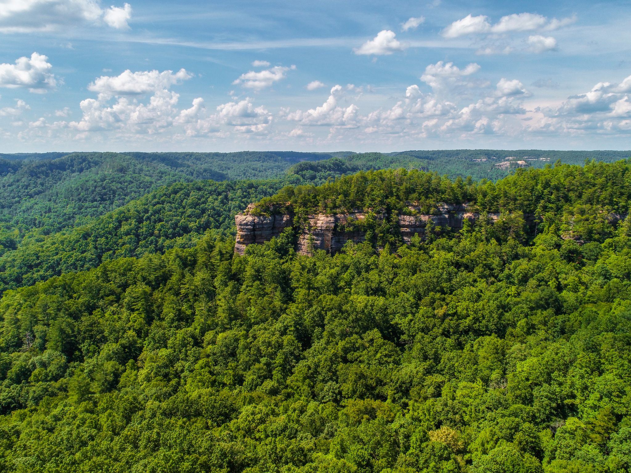
Easy hiking trails in Menifee County traverse a rugged and scenic landscape, characterized by sandstone cliffs, natural arches, and dense forests. The region is part of the Red River Gorge Geological Area and Daniel Boone National Forest, offering diverse terrain for outdoor activities. Hikers can explore stream valleys and woodlands, with many routes leading to unique geological formations.
Best easy hiking trails in Menifee County
- The most popular easy hiking route is Sky Bridge Trail, a 0.7 miles (1.1…
Last updated: October 11, 2026
5.0
(3)
29
hikers
1.11km
00:22
50m
60m
Easy hike. Great for any fitness level. Easily-accessible paths. Suitable for all skill levels.
7
hikers
6.31km
01:50
150m
150m
Easy hike. Great for any fitness level. Easily-accessible paths. Suitable for all skill levels.

5.0
(1)
1
hikers
3.17km
00:55
120m
20m
Easy hike. Great for any fitness level. Easily-accessible paths. Suitable for all skill levels.
3.20km
00:51
20m
60m
Easy hike. Great for any fitness level. Easily-accessible paths. Suitable for all skill levels.
1
hikers
4.30km
01:18
180m
60m
Easy hike. Great for any fitness level. Easily-accessible paths. Suitable for all skill levels.
1
hikers
2.56km
00:42
60m
0m
Easy hike. Great for any fitness level. Easily-accessible paths. Suitable for all skill levels.
622m
00:11
10m
30m
Easy hike. Great for any fitness level. Easily-accessible paths. Suitable for all skill levels.
648m
00:15
80m
0m
Easy hike. Great for any fitness level. Easily-accessible paths. Suitable for all skill levels.
1.56km
00:25
10m
40m
Easy hike. Great for any fitness level. Easily-accessible paths. Suitable for all skill levels.
5.0
(1)
12
hikers
6.11km
01:48
170m
170m
Easy hike. Great for any fitness level. Easily-accessible paths. Suitable for all skill levels.
Get access to more routes and recommendations from other explorers.
Already have an account?
Our route recommendations are based on thousands of hikes, rides, and runs completed by other people on komoot.
Start today with a free account
Your next adventure awaits.
Popular around Menifee County

Other adventures in Menifee County

Tips from the Community

Cloud Splitter's history traces back at least a couple of thousand years before the first Europeans arrived in what is now Kentucky. Overlooks, including Cloud Splitter's summit, served as crucial lookout posts for the Adena Culture People, protecting against potential attacks from rival tribes in the Red River Gorge.
0
0

Raven Rock has some of the best views in the Red River Gorge area, especially in the fall as the leaves are changing. From this open summit you get amazing 360-degree views of the Gorge, including Auxier Ridge, Courthouse Rock, and Tarr Ridge West. This is a great spot to check out when visiting the area, but please note that the trailhead is the only private day-use fee area in Red River Gorge; if you park in the allotted lot you need to pay $10.
0
0
Frequently Asked Questions
How many easy hiking trails are available in Menifee County?
Menifee County offers a wide selection of easy hiking trails, with over 45 routes specifically categorized as easy. These trails allow you to explore the region's unique landscape of sandstone cliffs, natural arches, and dense forests.
What kind of natural features can I expect to see on easy hikes in Menifee County?
Easy hikes in Menifee County often lead through lush woodlands and stream valleys, revealing the region's defining natural features. You'll encounter numerous natural arches, impressive sandstone cliffs, and the scenic beauty of the Red River Gorge Geological Area and Daniel Boone National Forest. For example, the Sky Bridge Trail leads directly to a prominent natural arch.
Are there any easy loop trails in Menifee County?
Yes, Menifee County features several easy loop trails perfect for a relaxed outing. A popular option is the Eagle's Nest and Osborne Bend Loop, which is 3.9 miles long and offers views of the Red River and passes by natural arches.
Are there any easy trails that lead to waterfalls in Menifee County?
Yes, you can find easy trails that lead to beautiful waterfalls. The Copperas Falls trail is an easy 1.6-mile hike that takes you to the magnificent 40-foot Copperas Falls and a rock shelter.
What are some family-friendly easy hikes in Menifee County?
Many easy trails in Menifee County are suitable for families. Routes like the Furnace Arch Trail, a 2.7-mile path through forested terrain, are great for an enjoyable family outing. The short and scenic Princess Arch Trail is also an excellent choice for families.
Can I bring my dog on easy hiking trails in Menifee County?
Many trails within the Daniel Boone National Forest and Red River Gorge are dog-friendly, but it's always best to check specific regulations for each trail. Generally, dogs are welcome on leash. The Cloudsplitter via Sheltowee Connector Trail is an easy option that can be enjoyed with your canine companion.
Are there easy hikes with good viewpoints in Menifee County?
Absolutely. Menifee County's rugged landscape means many easy trails still offer rewarding views. The Blackburn Rock Overlook Trail is an easy 2.0-mile hike that provides stunning vistas of the Red River Gorge.
What is the best time of year for easy hikes in Menifee County?
Spring and fall are generally considered the best times for easy hikes in Menifee County. The weather is mild, and the natural beauty is at its peak, with wildflowers in spring and vibrant foliage in autumn. Summer can be warm and humid, while winter offers a different, often quieter, experience, though some trails might be slick.
What do other hikers enjoy most about easy hiking in Menifee County?
The easy hiking trails in Menifee County are highly rated by the komoot community, with an average score of 4.7 stars from over 80 reviews. Hikers frequently praise the unique geological formations, particularly the natural arches, the peaceful forest settings, and the accessibility of these scenic routes.
Are there any hidden gem easy hikes in Menifee County?
While many trails are well-known, you can still find less-trafficked easy routes that offer a sense of discovery. The Devil's Market House Arch Trail is a relatively short and easy hike that leads to a fascinating natural arch, providing a rewarding experience away from the busiest spots.
What are some notable landmarks or attractions near easy hiking trails?
Menifee County is rich with natural landmarks. Many easy trails are located within the Red River Gorge Geological Area, known for its unique formations. You can find trails near significant features like Adena Arch or explore areas close to the Red River itself. The Raven Rock Trail is another easy option that takes you through scenic landscapes.
Most popular attractions in Menifee County

Get inspired with the komoot mobile app


Didn’t find what you were looking for?
Check out more Hikes throughout Menifee County below and find the perfect route in your destination.
Explore more
Browse the best Hikes in other regions.
