Easy hikes and walks around Sierra Rioja Alta
4.4
(1021)
6,849
hikers
149
hikes
Hiking around Sierra Rioja Alta offers diverse landscapes, characterized by mountainous terrain, extensive vineyards, and natural forests. The region is situated at higher elevations within the Ebro Valley, with mountain ranges like the Sierra de Cantabria and Demanda providing varied elevations and vistas. Rivers and their tributaries carve valleys, while forests of Scots pine, beech, and Pyrenean oak contribute to the natural beauty.
Best easy hiking trails around Sierra Rioja Alta
- The most popular easy hiking route is Monasterio de…
Last updated: October 10, 2026
4.6
(8)
69
hikers
4.93km
01:29
160m
160m
Easy hike. Great for any fitness level. Easily-accessible paths. Suitable for all skill levels.
4.8
(8)
69
hikers
4.76km
01:22
110m
110m
Easy hike. Great for any fitness level. Easily-accessible paths. Suitable for all skill levels.

4.5
(11)
76
hikers
Easy hike. Great for any fitness level. Easily-accessible paths. Suitable for all skill levels.
4.0
(4)
18
hikers
5.11km
01:23
70m
70m
Easy hike. Great for any fitness level. Easily-accessible paths. Suitable for all skill levels.
3.7
(3)
18
hikers
4.81km
01:18
70m
70m
Easy hike. Great for any fitness level. Easily-accessible paths. Suitable for all skill levels.
23
hikers
3.47km
01:11
170m
170m
Easy hike. Great for any fitness level. Easily-accessible paths. Suitable for all skill levels.
4.0
(2)
20
hikers
Easy hike. Great for any fitness level. Easily-accessible paths. Suitable for all skill levels.
5.0
(6)
22
hikers
6.18km
01:44
120m
120m
Easy hike. Great for any fitness level. Easily-accessible paths. Suitable for all skill levels.
3.6
(5)
19
hikers
6.53km
01:51
150m
150m
Easy hike. Great for any fitness level. Easily-accessible paths. Suitable for all skill levels.
4.0
(1)
15
hikers
3.93km
01:21
190m
190m
Easy hike. Great for any fitness level. Easily-accessible paths. Suitable for all skill levels.
Get access to more routes and recommendations from other explorers.
Already have an account?
Our route recommendations are based on thousands of hikes, rides, and runs completed by other people on komoot.
Start today with a free account
Your next adventure awaits.
Popular around Sierra Rioja Alta

Easy hikes around Sierra de la Demanda
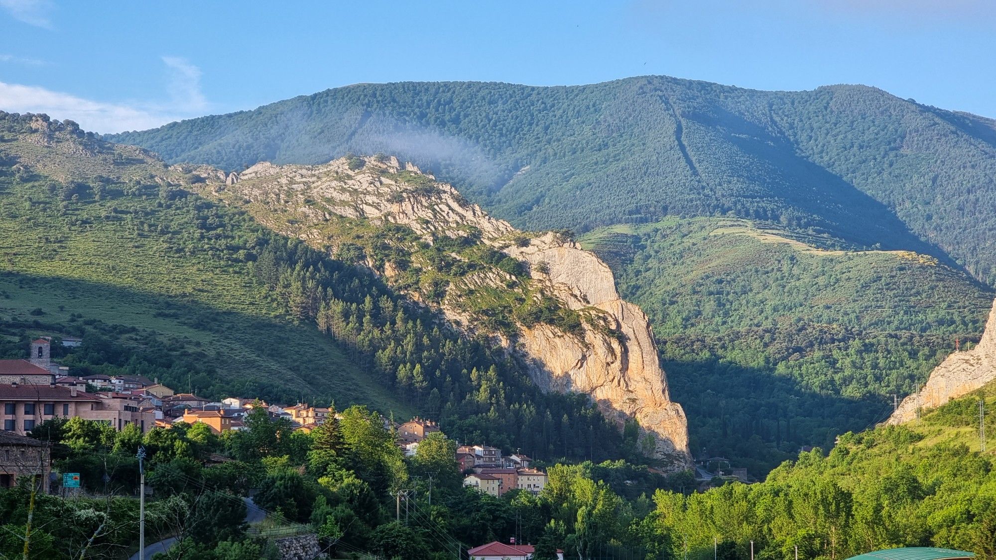
Passes and dinosaur footprints – Spain’s Sierras Riojanas (GR 93)
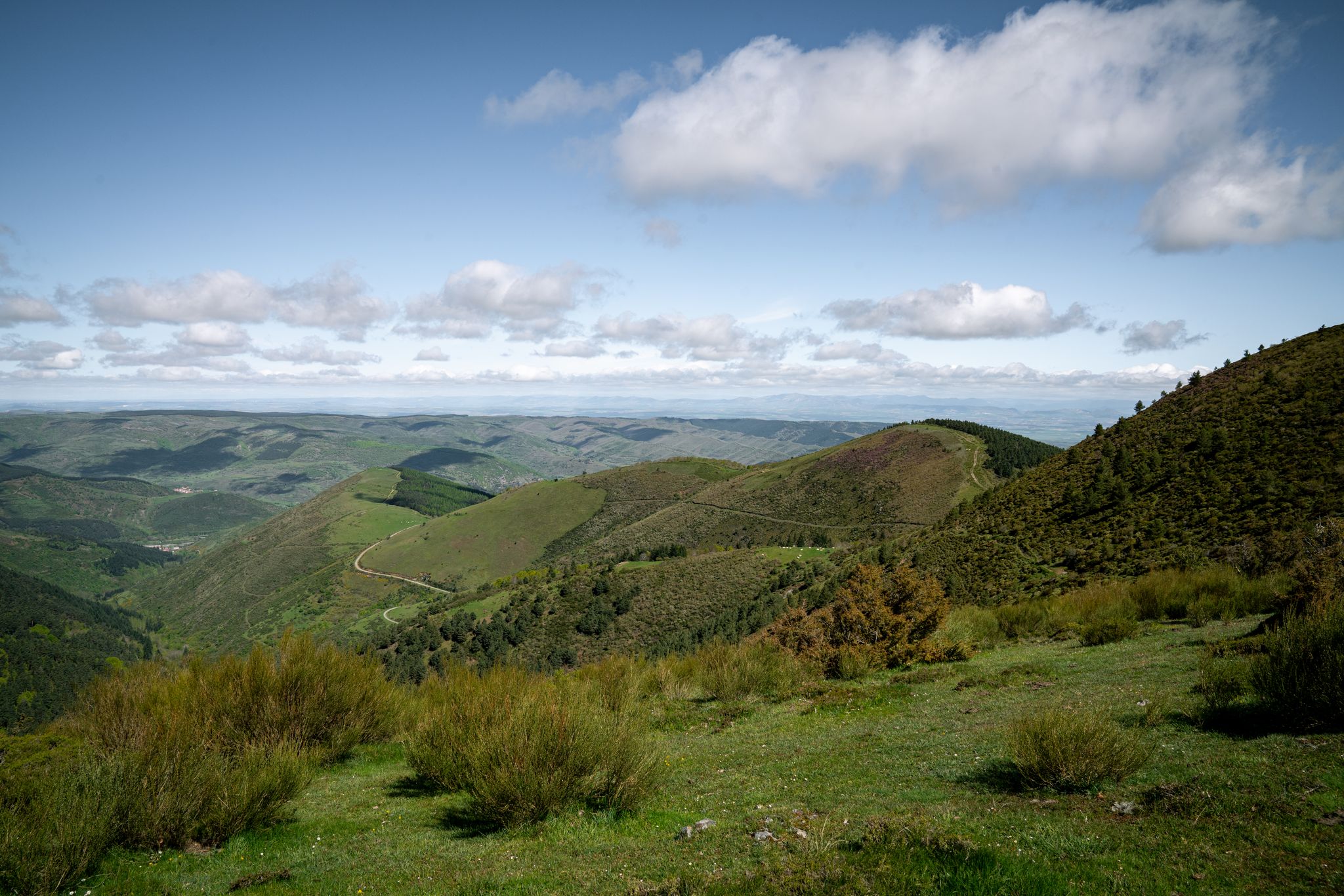
In the mountains of La Rioja – Iberian High Valleys trail (GR 190)
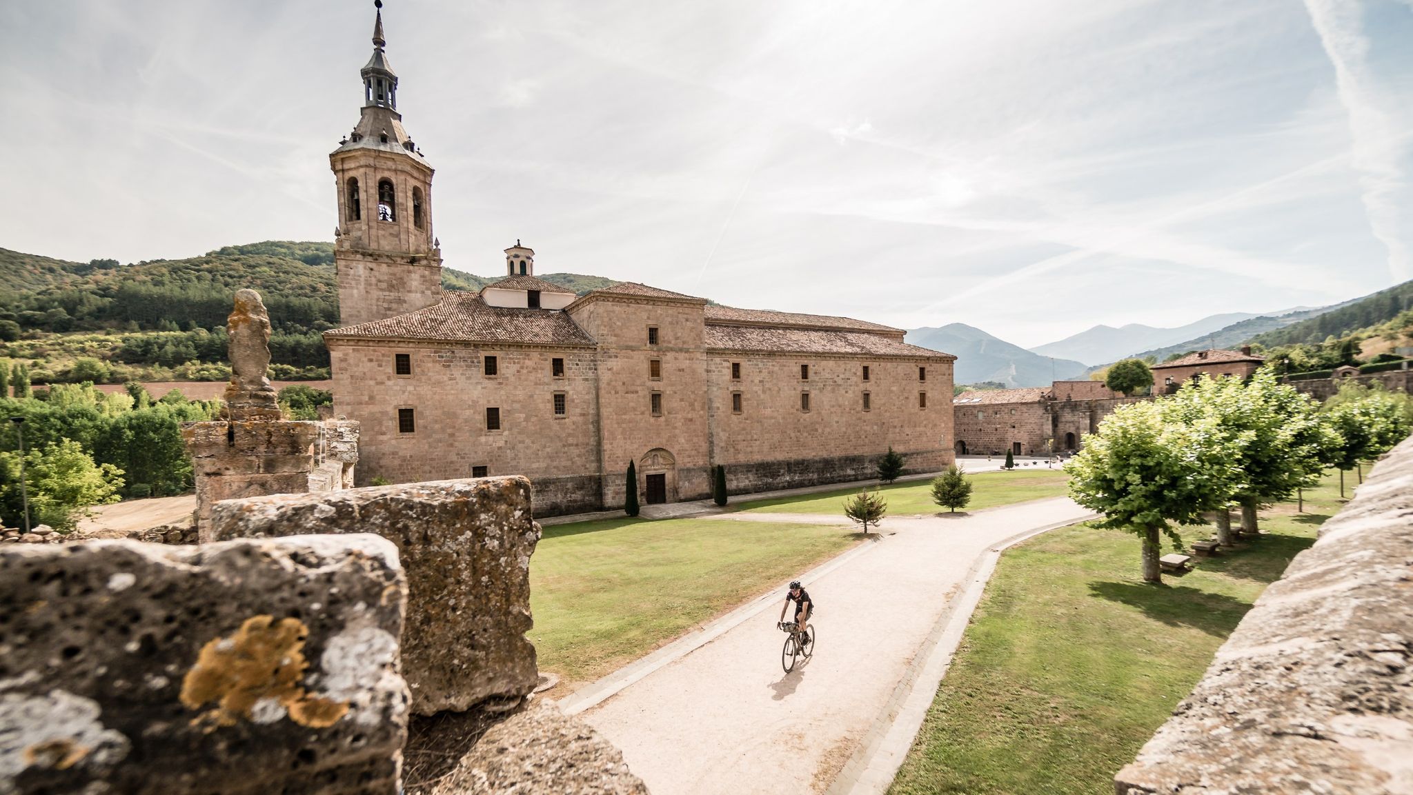
Between valleys and mountains – Mymerak gravel routes
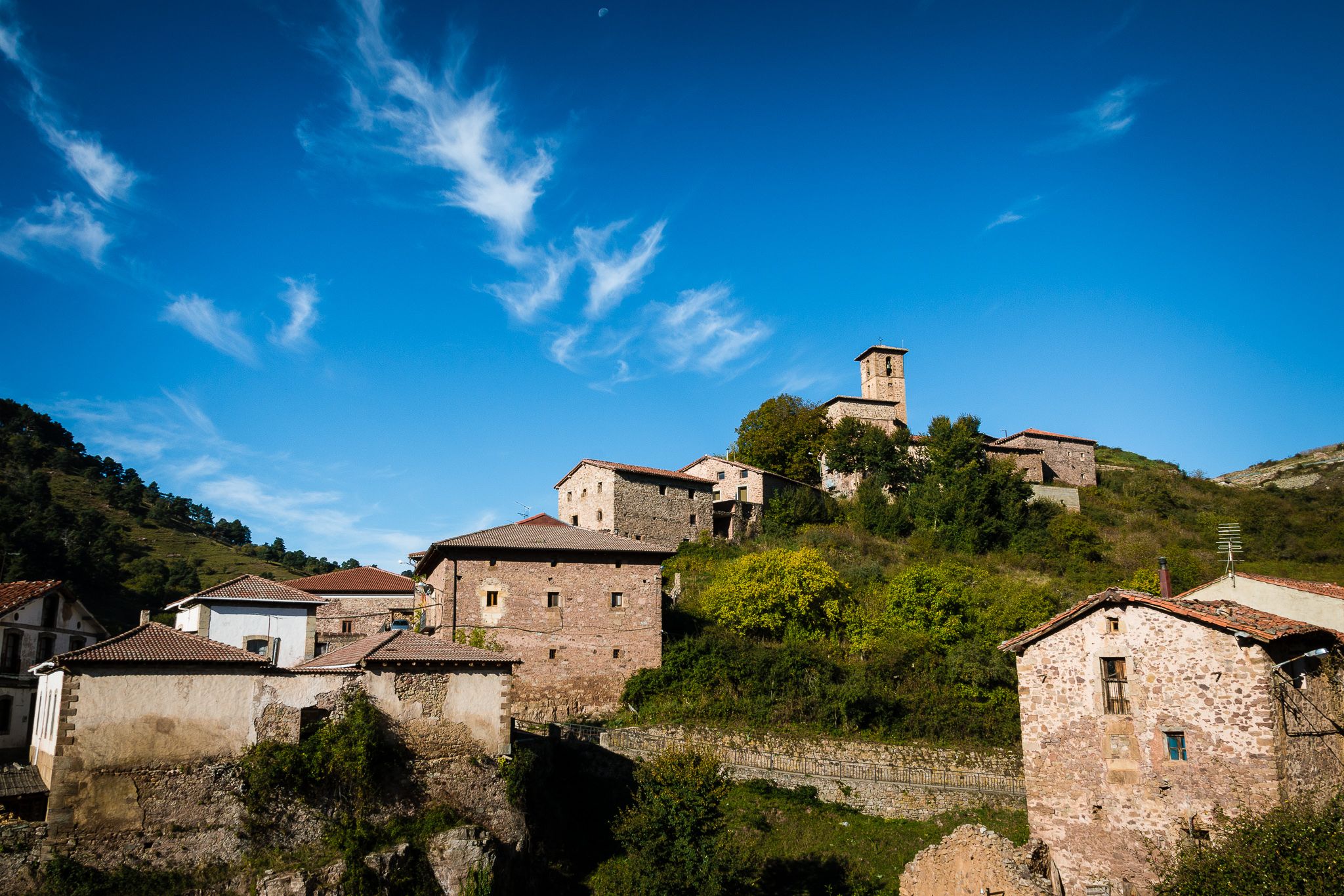
An adventure on quiet roads – MyMerac Rioja
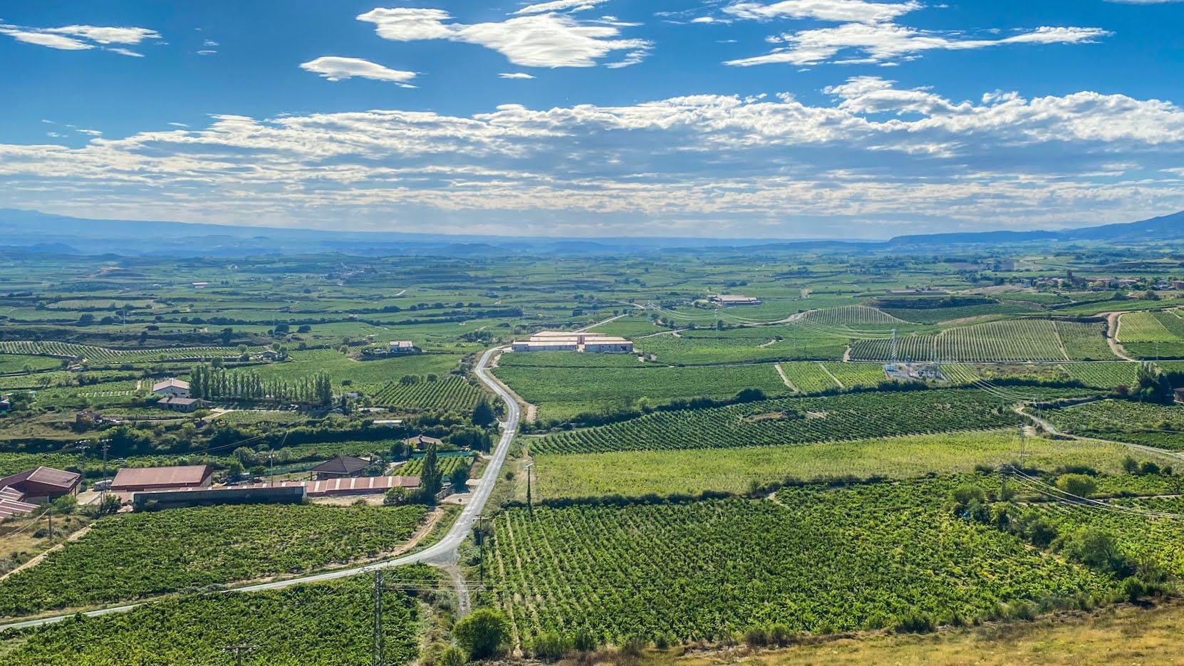
Endless asphalt between La Rioja’s vineyards – Spain’s Ruta del Vino
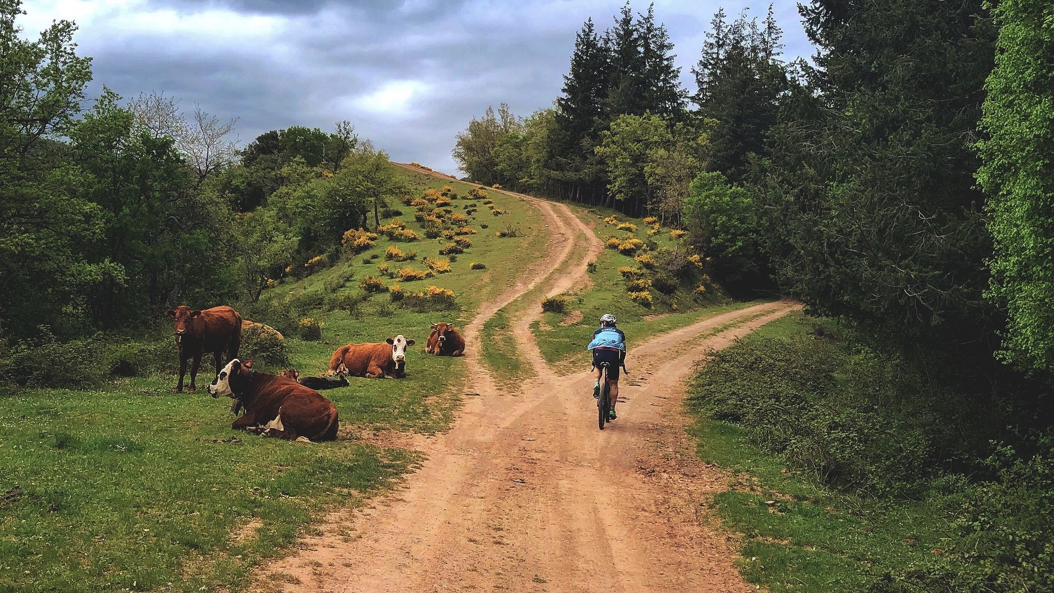
History, vineyards and nature – La Rioja on gravel
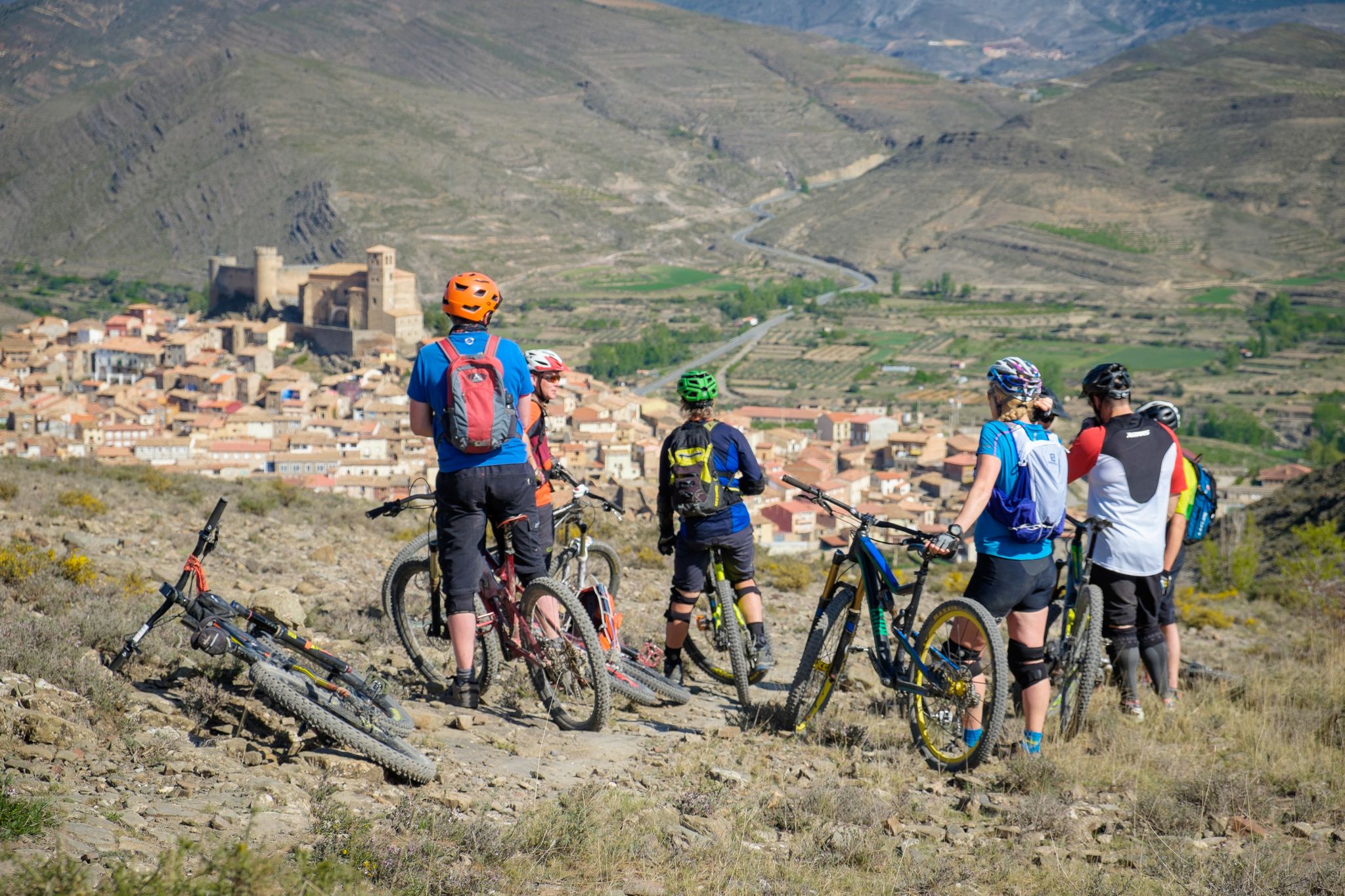
Mountains, valleys and trails in La Rioja – GR 93 by e-bike
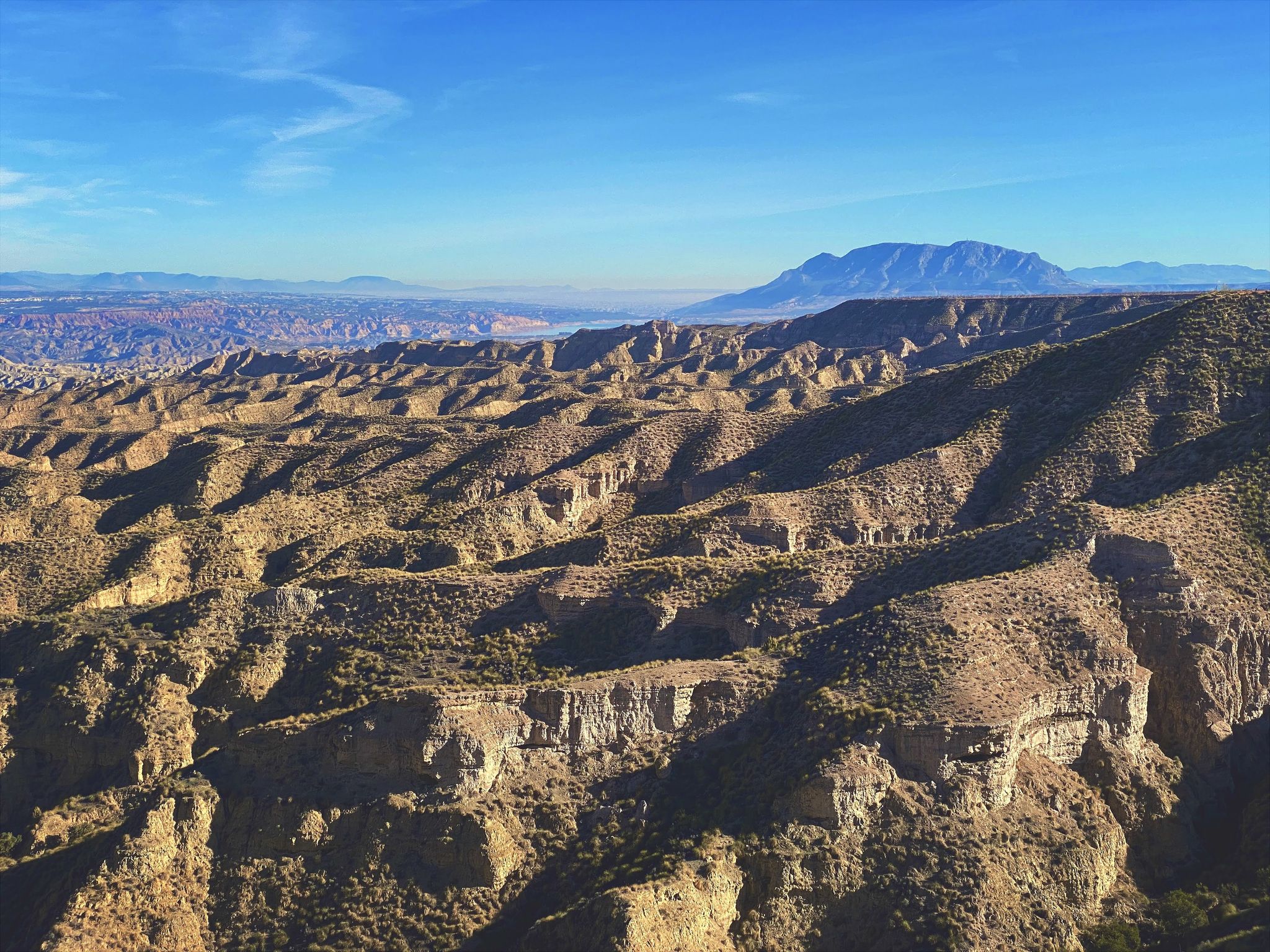
Discover Spain by gravel — a selection of must-see routes
Other adventures around Sierra Rioja Alta


Tips from the Community

superb place with a magnificent view, deep in a lost valley. The hebrrge monastery still has lines but also functions as a hotel, with simple but very comfortable rooms and a very healthy meal.
0
0

6 km climb from ANGIANO, not very hard but it depends on the pace, especially the last 2 km.
2
0

Very quiet place to start hiking and see the activity of the monastery
0
0

The perfect stop to replenish your energy after a bike ride (or walking, or skiing...) around Ezcaray
0
0

Ezcaray a great town for strolling / eating out and a beautiful outskirts
0
0

Nice old train station. Today a bar/restaurant, ideal for relaxing after a hike
0
0

Emblematic place of La Rioja where the patron saint of La Rioja, the Virgin of Valvanera, is located. If you go up by road, the last 5 kilometers from the fork in the LR-113 road are demanding and add to the accumulated unevenness if you arrive from Anguiano. It can be reached by paths for both mountain biking and hiking. Keep an eye on your mobile as there is not much coverage in the area.
0
0

Matute is a small village of about 90 inhabitants located in the Najerilla river basin. Very close to here is the Salto del Agua, a beautiful waterfall located at the end of a path that crosses an impressive ravine.
0
0
Frequently Asked Questions
How many easy hiking trails are available in Sierra Rioja Alta?
Sierra Rioja Alta offers a wide selection of hiking opportunities, with 138 trails in total. Among these, you'll find 18 specifically designated as easy, perfect for a relaxed outdoor experience.
What kind of landscapes can I expect on easy hikes in Sierra Rioja Alta?
Easy hikes in Sierra Rioja Alta traverse diverse landscapes, from mountainous terrain and extensive vineyards to natural forests of Scots pine, beech, and Pyrenean oak. You'll encounter valleys carved by rivers and enjoy varied vistas across the region.
What do other hikers say about the easy trails in Sierra Rioja Alta?
The trails in Sierra Rioja Alta are highly regarded by the komoot community, with an average rating of 4.4 stars from over 400 reviews. Hikers often praise the region's varied terrain and natural beauty, making it a popular choice for outdoor enthusiasts.
Are there any easy hikes that feature waterfalls in Sierra Rioja Alta?
Yes, the Sierra Cebollera Natural Park is known for its beautiful mountain streams and waterfalls, such as those at Puente Ra, which offer a fairytale-like setting. While specific easy routes to these exact waterfalls aren't listed in the guide, the park itself provides numerous trails where you might encounter such features.
Can I find easy trails through vineyards in Sierra Rioja Alta?
Absolutely. The iconic vineyard landscapes are a defining feature of Rioja Alta. Many routes, often referred to as 'Wine Trails,' are designed to immerse you in these wine-growing areas, offering stunning views that transform with the seasons.
Are there family-friendly easy hiking options in Sierra Rioja Alta?
Many of the easy trails in Sierra Rioja Alta are suitable for families. Routes like the Matute loop from Matute or the Santa María la Mayor Parish – Plaza del Quiosco de Ezcaray loop from Ezcaray are relatively short and have minimal elevation gain, making them enjoyable for all ages.
Are there any circular easy hikes available?
Yes, many easy hikes in Sierra Rioja Alta are circular, allowing you to start and end at the same point. Examples include the popular Monasterio de Valvanera loop from Monasterio de Valvanera and the Route of the 7 Bridges – Bridge loop from Azárrulla.
What are some notable landmarks or points of interest I can see on easy hikes?
While on easy hikes, you can explore charming villages like Anguiano, known for its traditional architecture. The region also features significant sites such as the Monasterio de Valvanera, hidden amidst nature, which is part of a popular easy loop trail.
What is the typical duration for easy hikes in Sierra Rioja Alta?
Easy hikes in Sierra Rioja Alta generally range from 1.5 to 2.5 hours to complete. For instance, the Monasterio de Valvanera loop takes approximately 1 hour 29 minutes, while the Santa María la Mayor Parish – Plaza del Quiosco de Ezcaray loop is typically completed in about 1 hour 31 minutes.
Are there easy trails that offer views of the Ebro River or its valleys?
Yes, the Ebro River traverses the region, and its tributaries create valleys with significant natural beauty. Many trails, particularly those around villages like San Vicente de la Sonsierra, offer views of the river and its surrounding vineyards.
Can I find easy hikes that pass through unique geological formations?
The region boasts unique geological features. While not directly on easy hiking routes listed, areas like the 'Red Rocks of Nájera' and the 'Caves of the Hundred Pillars' in the Cidacos Valley are nearby points of interest that showcase the region's geological diversity.
Are there any easy routes near the town of Ezcaray?
Yes, Ezcaray is a great starting point for easy hikes. You can enjoy routes like the Santa María la Mayor Parish – Plaza del Quiosco de Ezcaray loop, which explores the town and its immediate surroundings, or the Ezcaray – Ermita Nuestra Señora de Allende loop.
Most popular routes around Sierra Rioja Alta
Most popular attractions around Sierra Rioja Alta

Get inspired with the komoot mobile app


Didn’t find what you were looking for?
Check out more Hikes throughout Sierra Rioja Alta below and find the perfect route in your destination.
Explore more
Browse the best Hikes in other regions.
