Easy hikes and walks around Paramos
4.6
(416)
1,712
hikers
171
hikes
Hiking around Paramos offers access to unique high-altitude ecosystems, characterized by grasslands, shrubs, and specialized vegetation like the *frailejón*. These environments are vital water sources, featuring pristine glacial lakes and extensive wetlands. The region presents a dramatic topography of rugged mountain peaks and deep valleys, with elevations typically ranging from 9,500 to 14,800 feet above sea level. Hikers should be prepared for diverse and unpredictable weather, including daily temperature shifts.
Best easy hiking trails around Paramos
- The most popular easy…
Last updated: October 10, 2026
4.9
(25)
101
hikers
Easy hike. Great for any fitness level. Easily-accessible paths. Suitable for all skill levels.
5.0
(2)
31
hikers
Easy hike. Great for any fitness level. Easily-accessible paths. Suitable for all skill levels.

4.4
(5)
10
hikers
6.46km
01:46
100m
100m
Easy hike. Great for any fitness level. Easily-accessible paths. Suitable for all skill levels.
4.0
(1)
10
hikers
1.17km
00:19
20m
20m
Easy hike. Great for any fitness level. Easily-accessible paths. Suitable for all skill levels.
8
hikers
Easy hike. Great for any fitness level. Easily-accessible paths. Suitable for all skill levels.
5
hikers
Easy hike. Great for any fitness level. Easily-accessible paths. Suitable for all skill levels.
4
hikers
6.18km
01:38
60m
60m
Easy hike. Great for any fitness level. Easily-accessible paths. Suitable for all skill levels.
6
hikers
4.41km
01:27
200m
200m
Easy hike. Great for any fitness level. Easily-accessible paths. Suitable for all skill levels.
5.0
(1)
5
hikers
Easy hike. Great for any fitness level. Easily-accessible paths. Suitable for all skill levels.
5
hikers
2.26km
00:39
50m
50m
Easy hike. Great for any fitness level. Easily-accessible paths. Suitable for all skill levels.
Get access to more routes and recommendations from other explorers.
Already have an account?
Our route recommendations are based on thousands of hikes, rides, and runs completed by other people on komoot.
Start today with a free account
Your next adventure awaits.


Tips from the Community

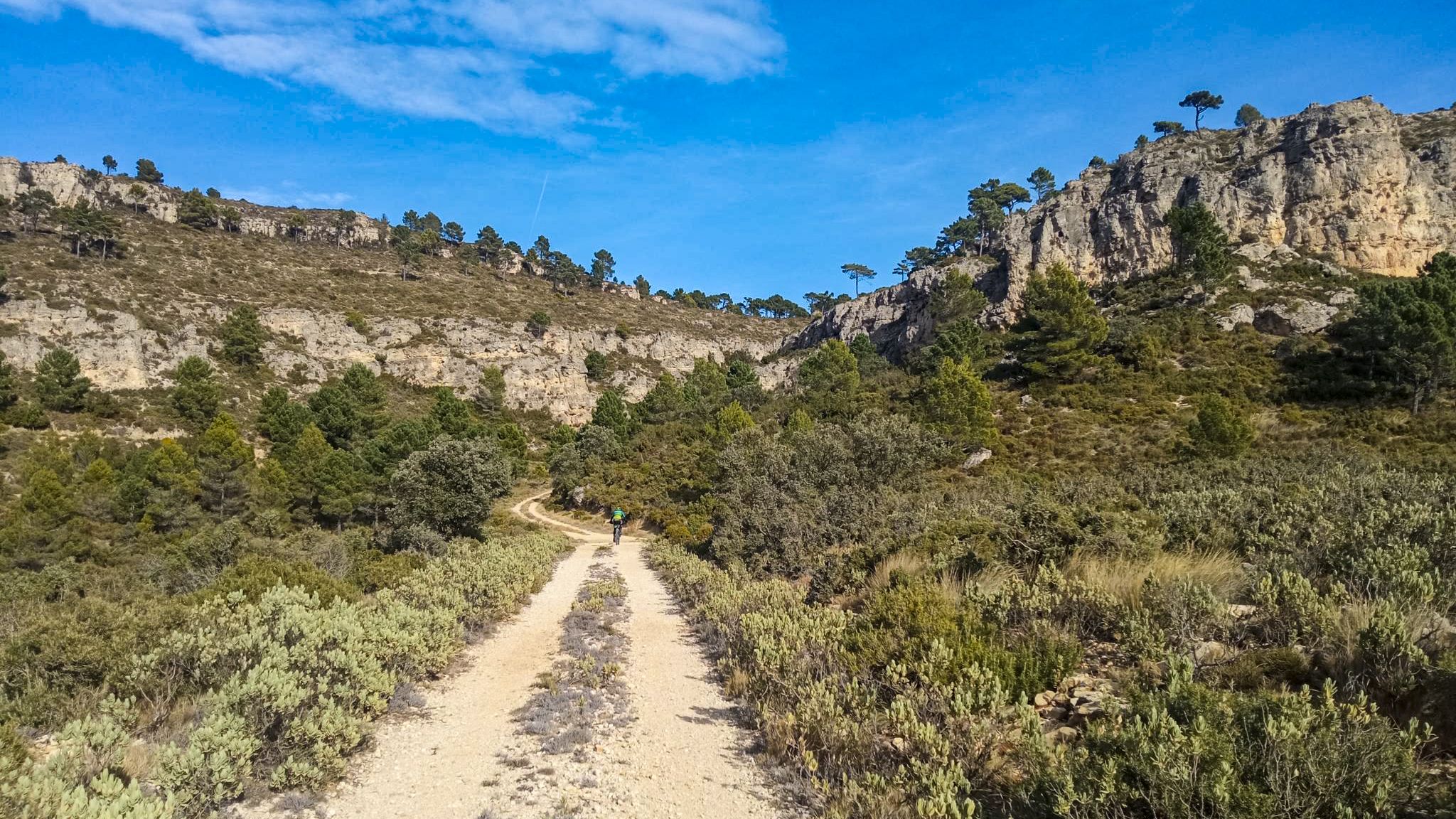
Here the Ebro has carved a beautiful canyon into the rocks. Especially here near Orbaneja, beautiful views of the spectacular rock faces on both sides open up again and again, while further towards Villaescuesa the path leads through a narrow but dense forest, which mostly obscures this view. It is definitely a beautiful path to hike.
0
0
Shortly before reaching the plateau, there are repeated glimpses of Orbaneja, as it is nestled in the valley.
0
0
Leaving Orbaneja upwards in the direction of the plateaus north of the canyon, views open up onto the rock formations at its upper edge. On the other side of the canyon, there is a whole gallery of them, including a beautiful stone arch, but there are also some photogenic rocks above Orbaneja.
0
0
A very beautiful old village, which lies here on both sides of the magically beautiful waterfall and the short stream leading to it. Very photogenic old stone houses and many pretty corners - however, not untouched by tourism, the souvenir shops spoil the picture a little. When I was there, the crowds were manageable - but the large number of parking spaces below the village suggests that the village can also be very crowded.
0
0
The waterfall looks magically beautiful, widening as it cascades over the limestone basins. From the bridge at the foot of the waterfall, you can look into the large lower basins, where the water has a turquoise-blue color. The scene could also fit well into a fantasy film, at the center of a valley of fairies or elves. Light was very good for taking photos in the late morning. If, however, you arrive only in the early evening, the sun is above the waterfall and is blinding - but then the large basins on the other side of the bridge at the foot of the waterfall are particularly beautiful.
0
0

Tubilla del Agua waterfall
0
0

Spectacular area for hiking routes
0
0

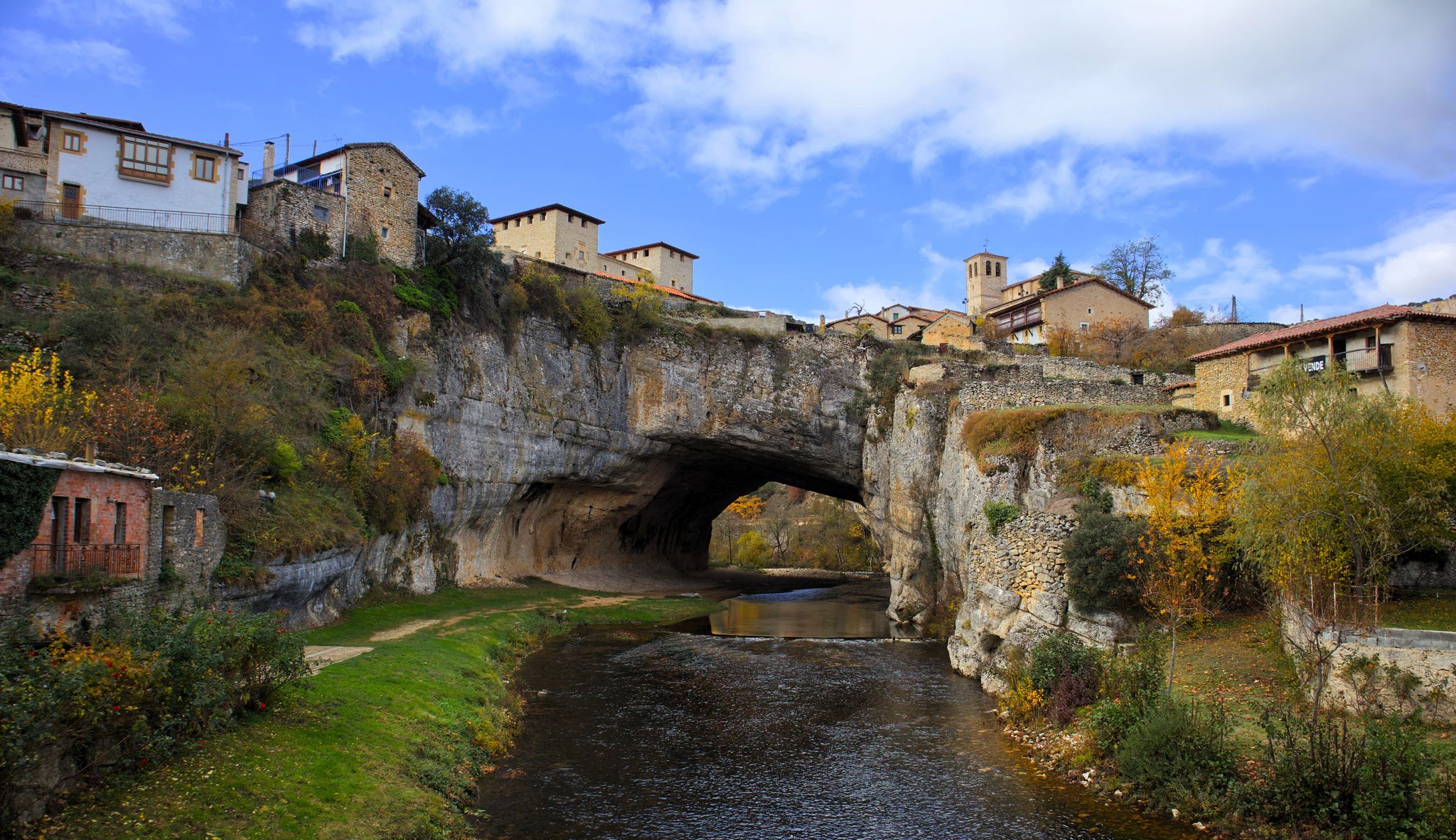
Visiting Orbaneja del Castillo is usually a fantastic experience if you like charming natural villages, photogenic spots, and a tranquil atmosphere. The village's main attraction is the waterfall that literally runs through the town, descending from the Cueva del Agua to the Ebro River. It's one of the most iconic landscapes in Burgos. Cobblestone streets, stone houses, medieval corners... It's a quick walk, but every angle is photo-worthy.
2
0
Frequently Asked Questions
How many easy hiking trails are available in Paramos?
There are over 30 easy hiking trails in Paramos, offering a variety of experiences suitable for different preferences. In total, the region features more than 150 hiking routes across all difficulty levels.
What kind of terrain can I expect on easy hikes in Paramos?
Easy hikes in Paramos typically traverse high-altitude grasslands and shrublands. You'll encounter unique vegetation like the *frailejón*, and often pass by pristine glacial lakes and wetlands. While the region is known for rugged mountain peaks, easy trails are generally well-defined and less steep, focusing on the distinctive natural features.
Are there any easy loop trails in Paramos?
Yes, many easy trails in Paramos are designed as loops. For example, the Horadada Tunnel loop from La Rebolleda is an easy 4.3-mile (6.9 km) route that takes about 1 hour 52 minutes to complete. Another option is the Pozo Azul de Covanera loop from San Felices del Rudrón, which is 3.8 miles (6.1 km) long.
Can I find easy hikes that feature waterfalls or unique natural formations?
Absolutely. The Páramos region is rich in natural beauty. You can explore the Covalagua Pool – Covalagua Waterfall loop from Pomar de Valdivia, which is an easy 3.1-mile (5.0 km) hike. This area is known for its stunning waterfalls and unique geological features like the Turquoise Pools and Waterfalls of Orbaneja del Castillo.
Are there family-friendly easy hikes in Paramos?
Many easy trails in Paramos are suitable for families. The Pozo Azul Trail – Pozo Azul de Covanera loop from Covanera is a very short and easy 0.7-mile (1.2 km) path, perfect for a quick family outing. It leads to the Pozo Azul de Covanera, a notable natural monument.
What is the best time of year for easy hiking in Paramos?
Páramos experience significant temperature shifts daily rather than seasonally, making the weather unpredictable year-round. However, generally, the drier periods might offer more comfortable hiking conditions. Always be prepared for diverse weather, including rain, wind, and sun, regardless of the season.
What kind of wildlife might I see on an easy hike?
Páramos are home to diverse wildlife. While on easy trails, you might spot various bird species, including endemic ones, and potentially mammals like white-tailed deer. The unique vegetation provides habitat for many creatures, making it a great region for wildlife observation.
Are there any easy hikes that offer viewpoints?
Yes, many easy trails provide excellent viewpoints of the dramatic topography. While specific named viewpoints on easy routes are not detailed, the high-altitude nature of Páramos means expansive views of rugged mountain peaks and deep valleys are common along most trails.
What do other hikers enjoy most about the easy trails in Paramos?
The easy trails in Paramos are highly rated by the komoot community, with an average score of 4.6 stars from over 200 reviews. Hikers often praise the unique high-altitude ecosystems, the serene glacial lakes, and the opportunity to experience the region's distinctive natural beauty on accessible paths.
Are there any easy hikes near interesting caves or gorges?
Yes, the region around Paramos features several interesting caves and gorges. While hiking the Ebro River Waterfalls – Ebro Nature Trail loop from Valdelateja, you'll be in an area known for its gorges. You can also find highlights like La Cucarada Cave and CuevaDelNispero nearby, though these may require separate exploration.
What should I wear for easy hiking in Paramos?
Given the unique climate with large daily temperature shifts, it's best to dress in layers. Be prepared for diverse and unpredictable weather, including rain, wind, and sun. Waterproof outer layers and sturdy, comfortable hiking shoes are highly recommended.
Most popular routes around Paramos
Most popular attractions around Paramos

Get inspired with the komoot mobile app


Didn’t find what you were looking for?
Check out more Hikes throughout Paramos below and find the perfect route in your destination.
Explore more
Browse the best Hikes in other regions.
