The best walks and hikes around Kematen am Innbach
4.5
(1294)
8,197
hikers
12
hikes
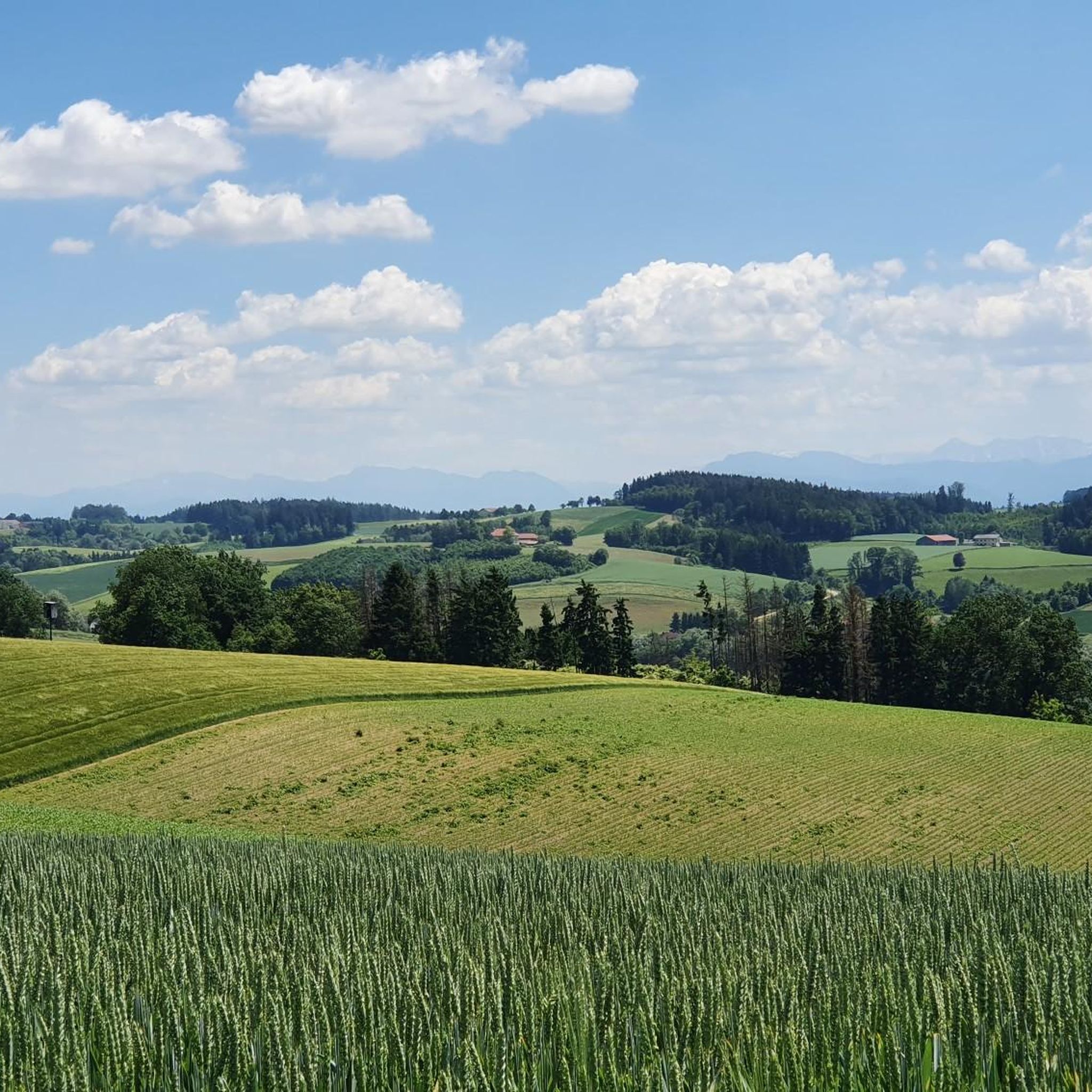
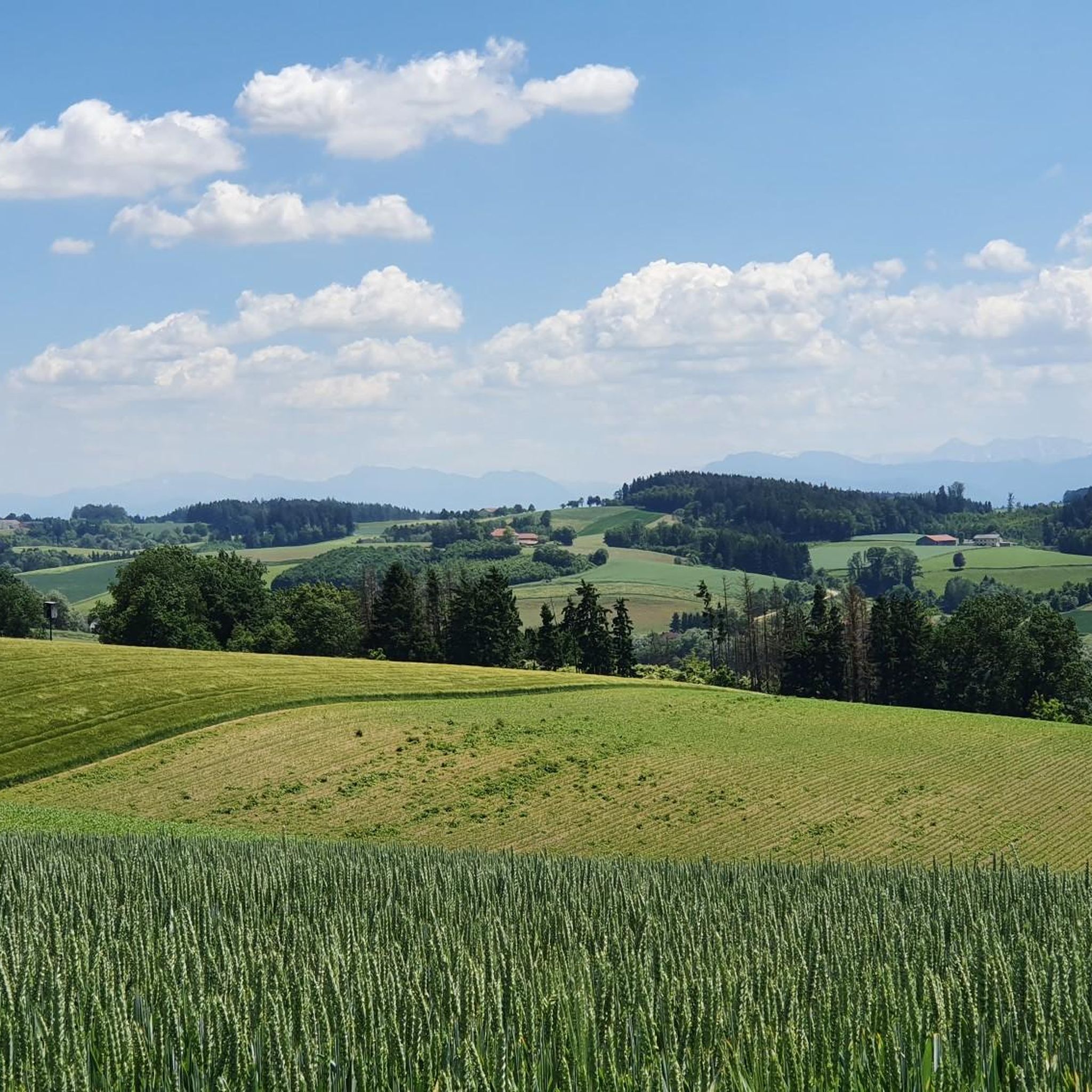
Hiking around Kematen am Innbach, located in the Hausruckviertel region of Upper Austria, offers trails through a landscape characterized by extensive farmland and notable forest areas. The municipality features 73% agricultural land and 16% forest, providing a different hiking experience compared to more mountainous regions. While not defined by high peaks, the area offers varied routes for exploring the local terrain.
Best hiking trails around Kematen am Innbach
- The most popular hiking route is View from Irracher Höhe – St.…
Last updated: July 5, 2026
4.0
(5)
21
hikers
12.6km
03:29
210m
210m
Moderate hike. Good fitness required. Easily-accessible paths. Suitable for all skill levels.
4.0
(1)
11
hikers
11.3km
03:07
180m
180m
Moderate hike. Good fitness required. Easily-accessible paths. Suitable for all skill levels.

Sign up for free
5.0
(1)
12
hikers
10.1km
02:45
150m
150m
Moderate hike. Good fitness required. Easily-accessible paths. Suitable for all skill levels.
5.0
(1)
13
hikers
8.59km
02:21
130m
130m
Moderate hike. Good fitness required. Easily-accessible paths. Suitable for all skill levels.
5.0
(1)
9
hikers
3.94km
01:04
50m
50m
Easy hike. Great for any fitness level. Easily-accessible paths. Suitable for all skill levels.
Get access to more routes and recommendations from other explorers.
Sign up for free
Already have an account?
Our route recommendations are based on thousands of hikes, rides, and runs completed by other people on komoot.
Start today with a free account
Your next adventure awaits.
Login or Signup
Tips from the Community


Great view all the way to the Alps.
0
0


There is no path leading to this summit point, but you will find a summit pole with a name and a trash can there.
1
0
The Irracher Höhe was searched for and found, quite hidden. Thanks to Peakfinder our search was successful
1
0

A nice view of catfish. The highest point is on private property.
1
0

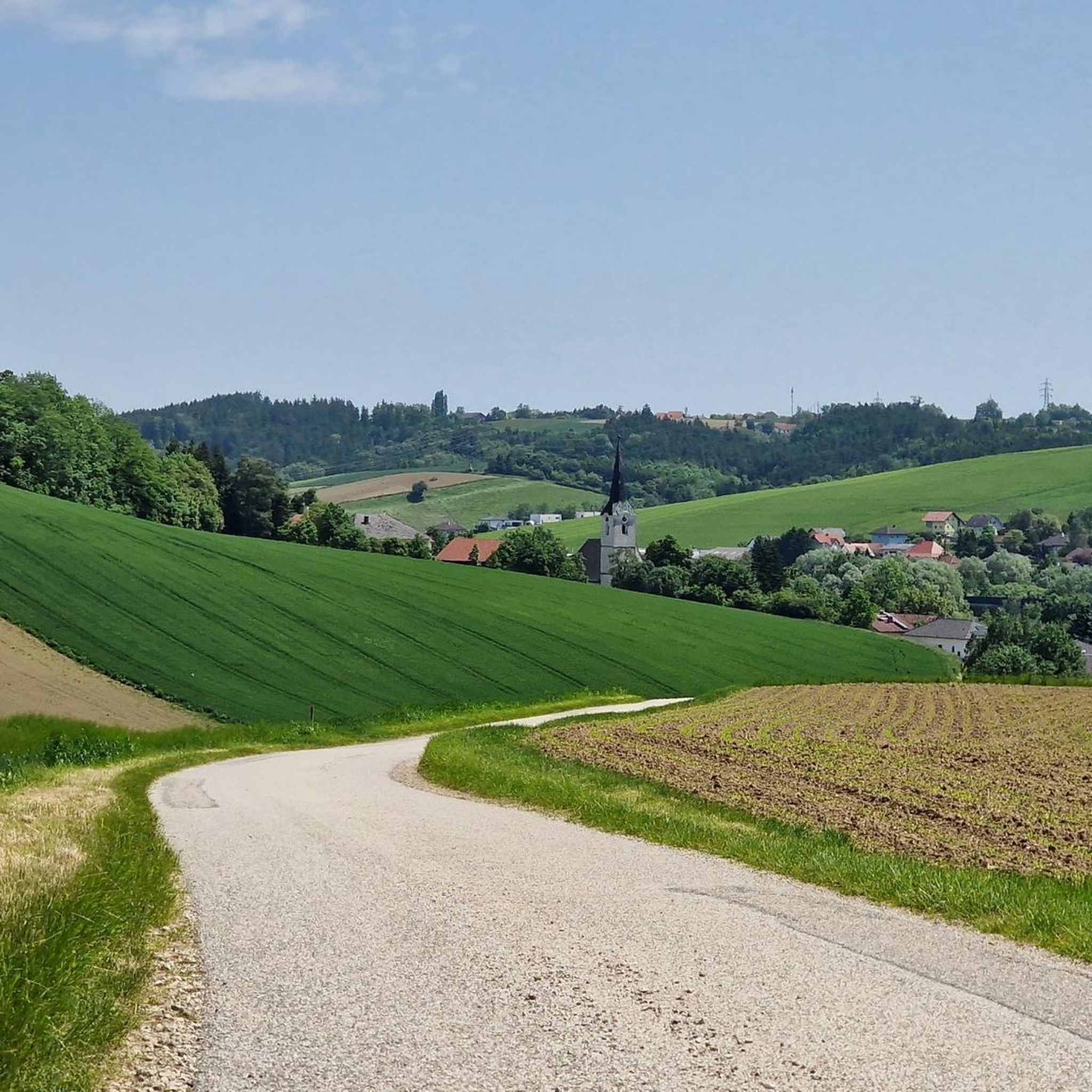
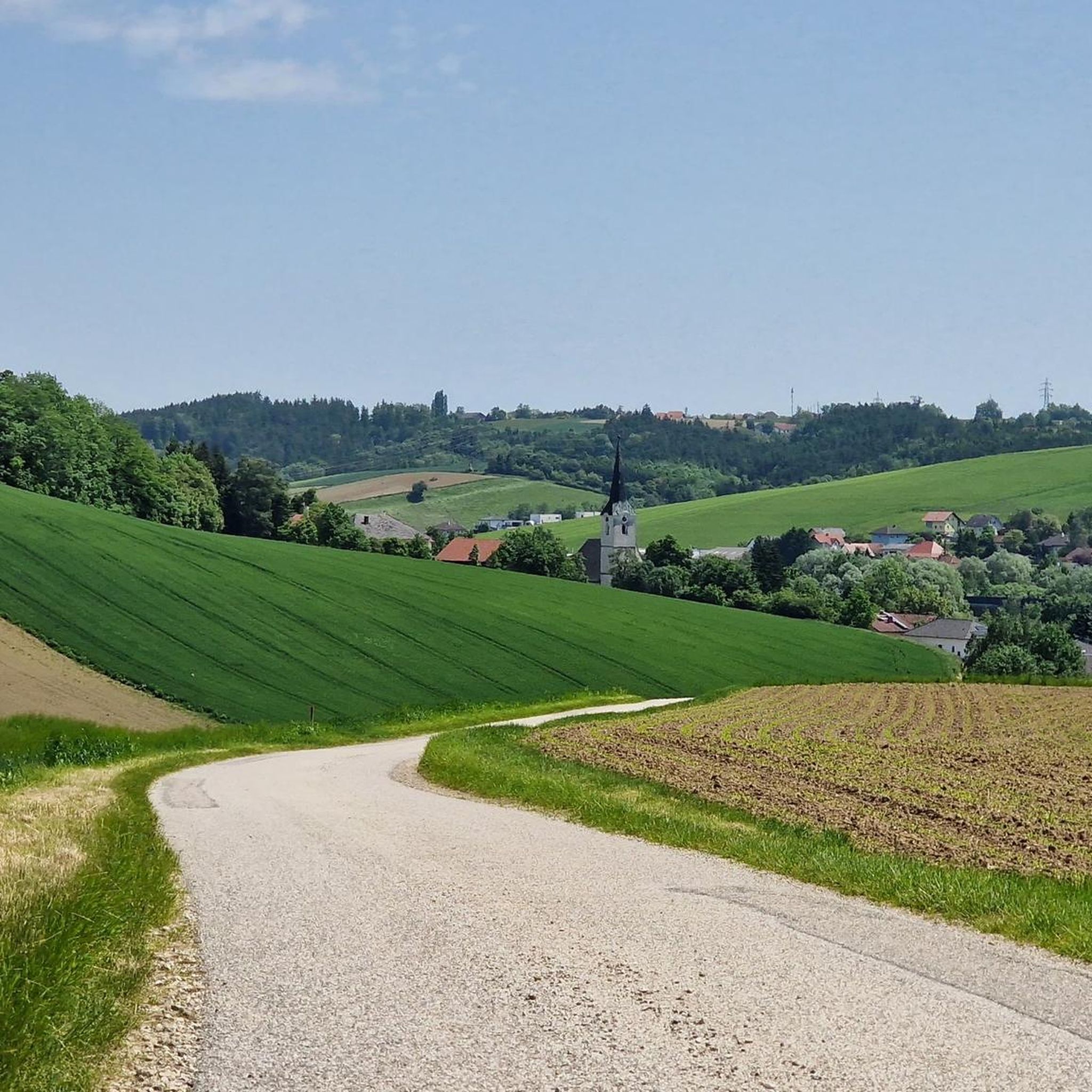
Main church of the parish of Pichl near Wels. Adjacent is the parish cemetery and the vicarage. Pichl Parish Church - the "Cathedral of the Innbach Valley" Today's name Pichl is derived from the earlier names Pühel and Pichel. Until well into the Middle Ages, Pichl was the mother parish of the now independent parishes of Gaspoltshofen, Offenhausen, Pennewang, Bachmanning and Steinerkirchen. The vicarage was located at the "Mair in Pfaffendorf", today's vicarage was the seat of the nobles from Pühel. In the Frankish Christianization period (9th century AD) a church was built for the first time. At first there was a wooden church on the hill (Pühel), which was replaced around 1300 by a Gothic church made of stone. In 1729, the rear part was removed and the church was largely rebuilt in the Baroque style. The presbytery comes from the Gothic church and was later baroque. The altarpiece was painted in 1761 by Bartolomeo Altomonte. On February 12, 1750, a fire broke out in the church shortly after midnight in the bakery behind the presbytery (today the old Kürnerhaus). With the help of the parishioners, however, the church could be completely rebuilt within a few months and equipped with a bell and two side altars. The church was dedicated November 1, 1750. As early as 1754 there were altars, pulpits and organs again. Today's onion tower with the tower clock was built in 1898. With a height of 56 meters it is one of the highest church towers in the region.
2
0
The Roman Catholic parish church of Pichl bei Wels is in the market town of Pichl bei Wels in the district of Wels-Land in Upper Austria. It is dedicated to Saint Martin and belongs to the Deanery of Wels in the Diocese of Linz. The building and the cemetery are under monument protection (list entry).
2
0
Frequently Asked Questions
What kind of landscape can I expect when hiking in Kematen am Innbach?
Hiking in Kematen am Innbach offers a landscape primarily characterized by extensive farmland (73%) and notable forest areas (16%). You'll find varied routes through gentle rolling hills, agricultural fields, and wooded sections, providing a different experience compared to more mountainous regions.
Are there easy hiking trails available in Kematen am Innbach?
Yes, Kematen am Innbach offers several easy hiking trails. Out of the 12 available routes, 5 are classified as easy, making them suitable for a relaxed walk. An example of an easy route is the Country Inn Waldesruh loop from Gallspach, which is about 3.9 km long.
What are the typical distances and durations for hikes in this region?
Hikes around Kematen am Innbach vary in distance and duration. You can find shorter, easy walks like the 3.9 km Country Inn Waldesruh loop taking just over an hour, up to moderate routes like the View from Irracher Höhe – St. Jakob's Church loop, which is 13.7 km and typically takes around 3 hours 47 minutes.
Are there any circular hiking routes in Kematen am Innbach?
Yes, many of the hiking routes in Kematen am Innbach are circular. For example, the Schmiedsberg loop from Kematen am Innbach is a 10.1 km circular trail, and the Schmiedsberg – Hubertus Chapel loop is an 8.6 km circular route.
What kind of landmarks or points of interest can I discover while hiking?
While hiking around Kematen am Innbach, you can explore various points of interest. Some routes pass by cultural sites like the Hubertus Chapel or Schloss Etzelsdorf. In the broader area, you might encounter natural monuments such as the Krailberg Summit Cross (504 m) or the Traunspitz viewpoint. There are also several castles nearby, including Irnharting Castle and Aistersheim Water Castle.
Are there any historical or cultural sites worth visiting near the trails?
Yes, the surrounding area of Kematen am Innbach offers several historical and cultural sites. You could visit Lambach Abbey, a significant religious site on the Way of St. James, or the Baroque Trinity Church Stadl-Paura, known for its architectural beauty. Some hiking routes, like the Hubertus Chapel – Schloss Etzelsdorf loop, directly connect with local historical landmarks.
What do other hikers say about the trails in Kematen am Innbach?
The hiking routes in Kematen am Innbach are highly regarded by the komoot community, holding an average rating of 4.5 stars from over 980 reviews. Hikers often praise the varied terrain, which includes agricultural fields and forested sections, and the well-maintained paths suitable for different ability levels.
Are the hiking trails in Kematen am Innbach suitable for families?
Yes, the region offers trails suitable for families. With 5 easy routes and 7 moderate routes, many paths are accessible for different fitness levels. The presence of the Botanica Park nearby, which features a children's farm, also suggests family-friendly activities can be combined with hiking excursions.
Can I bring my dog on the hiking trails?
Generally, dogs are welcome on hiking trails in the region. However, it's always advisable to keep your dog on a leash, especially when passing through agricultural areas or near livestock, and to check local regulations for specific trails or nature reserves.
What is the best time of year to go hiking in Kematen am Innbach?
The best time to go hiking in Kematen am Innbach is typically from spring through autumn. During these seasons, the weather is generally pleasant for outdoor activities, and the agricultural and forested landscapes are at their most vibrant. While specific winter hiking data isn't available, the region's lower elevation suggests trails might be accessible outside of heavy snow periods.
How many hiking routes are available in Kematen am Innbach?
There are 12 distinct hiking routes available around Kematen am Innbach, offering a variety of options for different preferences and fitness levels. These include 5 easy and 7 moderate trails.
Are there any natural attractions or viewpoints to explore?
Yes, the area around Kematen am Innbach features several natural attractions and viewpoints. You can find highlights such as the Krailberg Summit Cross (504 m), offering panoramic views, or the Traunspitz viewpoint. There's also the Pond on the Ager and the unique Geyser Garden in Eurothermenpark Bad Schallerbach.
Most popular routes around Kematen am Innbach
Most popular attractions around Kematen am Innbach

Get inspired with the komoot mobile app


Explore more
Browse the best Hikes in other regions.
