The 20 Most Amazing Peaks in Bezirk Urfahr-Umgebung
Best mountain peaks in Bezirk Urfahr-Umgebung offer diverse experiences for nature enthusiasts in Upper Austria. This region is characterized by its picturesque landscapes and panoramic views, attracting visitors seeking outdoor activities. The area features prominent elevations such as Sternstein and Pfenningberg, providing various hiking routes and viewpoints. These mountains are part of the Bohemian Massif, contributing to the region's distinct geological features and natural beauty.
Best mountain peaks in Bezirk Urfahr-Umgebung
- The most popular mountain peaks is Koglerauer Spitz,…
Last updated: October 11, 2026
Sternstein Observation Tower
Highlight • Viewpoint
Translated by Google •
Tip by

Pfenningberg Summit Cross
Highlight • Summit
Translated by Google •
Tip by

Sign up now to discover places like this
Get recommendations on the best single tracks, peaks, & plenty of other exciting outdoor places.
Three Beeches Cross
Highlight • Trail
Translated by Google •
Tip by

Koglerauer Spitz
Highlight • Summit
Translated by Google •
Tip by

Waxenberg Castle Ruins
Highlight • Castle
Translated by Google •
Tip by

Gisela Tower and Gisela Cross on Lichtenberg
Highlight • Viewpoint
Translated by Google •
Tip by

Ura Stoa Summit
Highlight • Summit
Translated by Google •
Tip by

Lichtenberg Transmitter and Gäste-Warte Observation Tower
Highlight • Viewpoint
Showing Translation
Tip by

Hirschstein (1022 m)
Highlight • Summit
Translated by Google •
Tip by

Giselawarte (GIS) Summit and Transmitter
Highlight • Summit
Translated by Google •
Tip by
Sign up for free to discover even more peaks in Bezirk Urfahr-Umgebung.
Already have an account?
Start today with a free account
Your next adventure awaits.
Popular around Bezirk Urfahr-Umgebung
Salt Trail — On old paths through Upper Austria
Austria's Mühlviertel Cycle Path — A hilly idyll

Nordwaldkamm trail – Hiking between the Czech Republic and Austria

Danube Trail – Legendary long-distance hiking along the Danube River
Experience history on the Pferdeeisenbahn hiking trail

E-bike Tours in the Danube region in Upper Austria

The most beautiful leisurely cycling routes in Upper Austria
Fun and flow – best MTB trails in Upper Austria
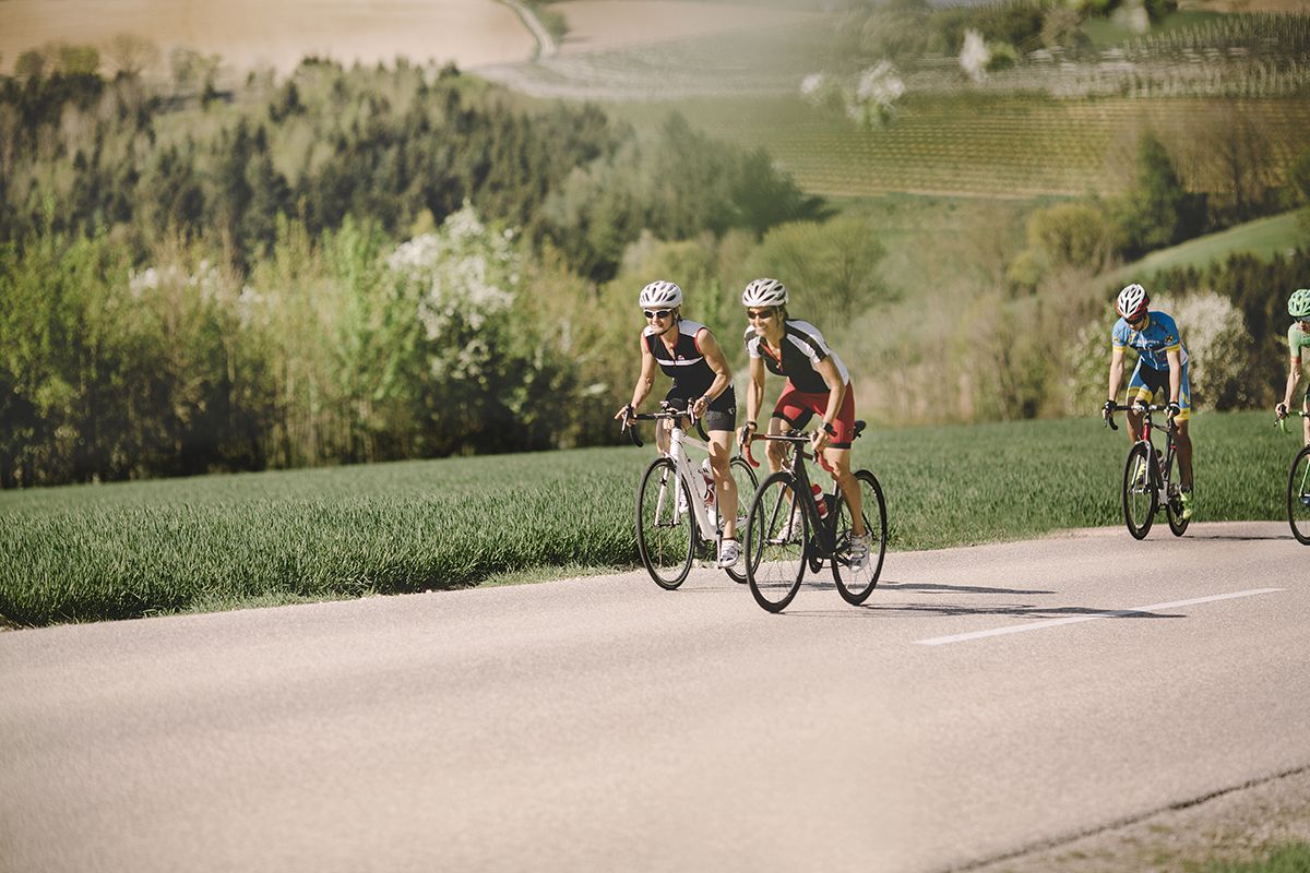
Fourteen Wadlbeißer – best road cycling routes in Upper Austria

Simply amazing – 13 hikes along the Donausteig
Other adventures in Bezirk Urfahr-Umgebung


Tips from the Community

It is often closed up there due to wealth! 🫣
0
0

The Giselawarte was built in 1856 and named after Princess Gisela, a daughter of Emperor Franz Joseph. In 1960, it was extended by two floors.
4
0
Giselawarte was built in 1856 and named after Princess Gisela, a daughter of Emperor Franz Joseph. In 1960, it was increased by two stories.
4
0


Cross at the Gisela Tower
6
0

The Hirschenstein, at over 1,026 meters, is certainly worth a detour, as it's not far from the road. Climbing it alone is either impossible or discouraged!
0
0

A Linz city summit for every season and every type of weather.
2
0

From the west, the access is technically tricky (trail between the trees and stones), from the east side it is much easier to ride. Bike tracks can be found right up to the top - so there are some very motivated / brave people there 😎
0
0
Frequently Asked Questions
Which mountain peaks in Bezirk Urfahr-Umgebung offer the best panoramic views?
For expansive panoramic views, consider visiting the Sternstein Observation Tower, located on the highest mountain in the region. From here, you can see the Böhmerland and even the northern Limestone Alps on clear days. Another excellent option is the Dr. Walter Amon Observation Tower on Breitenstein, which provides a 360° view across the entire Mühlviertel region and the foothills of the Alps.
Are there any historical sites or notable landmarks on the mountain peaks?
Yes, the Sternstein Observation Tower, also known as the "Kaiser Franz Joseph Jubiläumswarte," is a historical landmark built in 1898/99. Additionally, the Waxenberg Castle Ruins offer a historical experience combined with a viewpoint from a summit.
What are some family-friendly hiking options around the mountain peaks?
Many trails in Bezirk Urfahr-Umgebung are suitable for families. For easy hikes, you can explore routes like the "1000-Meter Spot – Sternstein Observation Tower loop from Sternstein" or the "View of Linz – Pfenningberg Summit Cross loop from Gasthaus Daxleitner." These are part of the Easy hikes in Bezirk Urfahr-Umgebung guide.
When is the best time to visit the mountain peaks in Bezirk Urfahr-Umgebung?
The best time to visit for hiking and enjoying the views is generally from spring to autumn. While the Sternstein area features a ski resort for winter sports, the Sternstein Observation Tower is closed during the winter months (November to March) for safety reasons. Always check local conditions before your visit.
Which mountain peaks offer views of Linz?
The Pfenningberg Summit Cross provides beautiful views over Linz, especially on a clear day. The area around Pöstlingberg also offers panoramic views of Linz and the Danube River, with trails leading to peaks like Koglerauer Spitz.
Are there challenging mountain hikes in the region?
Yes, for those seeking more challenging routes, the region offers various mountain hikes. You can find options in the Mountain Hikes in Bezirk Urfahr-Umgebung guide, which includes routes like the "Prinzenweg viewing point – Kürnbergkreuz loop from Ottensheim" and the "Pfenningberg Summit Cross – Finstergrabenbach Bike Route loop from Johannes Kepler University Linz."
What natural features can I expect to see on the mountain peaks?
The mountain peaks in Bezirk Urfahr-Umgebung are part of the Bohemian Massif, characterized by picturesque landscapes and diverse natural features. You'll encounter impressive granite formations, especially around Hirschstein (1022 m), and extensive forests. Many peaks also serve as natural viewpoints, offering vistas of the surrounding Mühlviertel region and distant Alps.
Can I go road cycling near the mountain peaks?
Absolutely! The region around Bezirk Urfahr-Umgebung offers numerous road cycling routes. You can explore options like the "Danube Cycle Path South Bank – Schlögen Loop loop from Achleitnersiedlung" or the "Along the Gusen River – Lower Gusental loop from Reichenau im Mühlkreis." More routes can be found in the Road Cycling Routes in Bezirk Urfahr-Umgebung guide.
What do visitors enjoy most about the mountain peaks in Bezirk Urfahr-Umgebung?
Visitors frequently praise the amazing views from observation towers like the Sternstein Observation Tower, which offers vistas from the Ötscher to the Dachstein and into the Czech Republic. The varied hikes and the sense of accomplishment at summit crosses, such as the Pfenningberg Summit Cross, are also highly appreciated.
Are there any less-known or 'hidden gem' peaks to explore?
While prominent peaks are popular, you might enjoy exploring Ura Stoa Summit for a quieter experience with good views. The Three Beeches Cross, one of the peaks of the Pfenningberg, is also noted as a nice resting place, even in winter.
Are there observation towers other than Sternstein and Breitenstein?
Yes, the Gisela Tower and Gisela Cross on Lichtenberg, as well as the Lichtenberg Transmitter and Gäste-Warte Observation Tower, offer additional viewpoints high above Linz. These are popular destinations for both hikers and cyclists.
Most popular routes in Bezirk Urfahr-Umgebung
Most popular attractions in Bezirk Urfahr-Umgebung

Get inspired with the komoot mobile app


Didn’t find what you were looking for?
Discover Bezirk Urfahr-Umgebung’s best peaks and summits by region:
Explore more
See even more amazing summits in Bezirk Urfahr-Umgebung with these guides:
