The best running trails around Gilky Hill
18
runners
2
runs
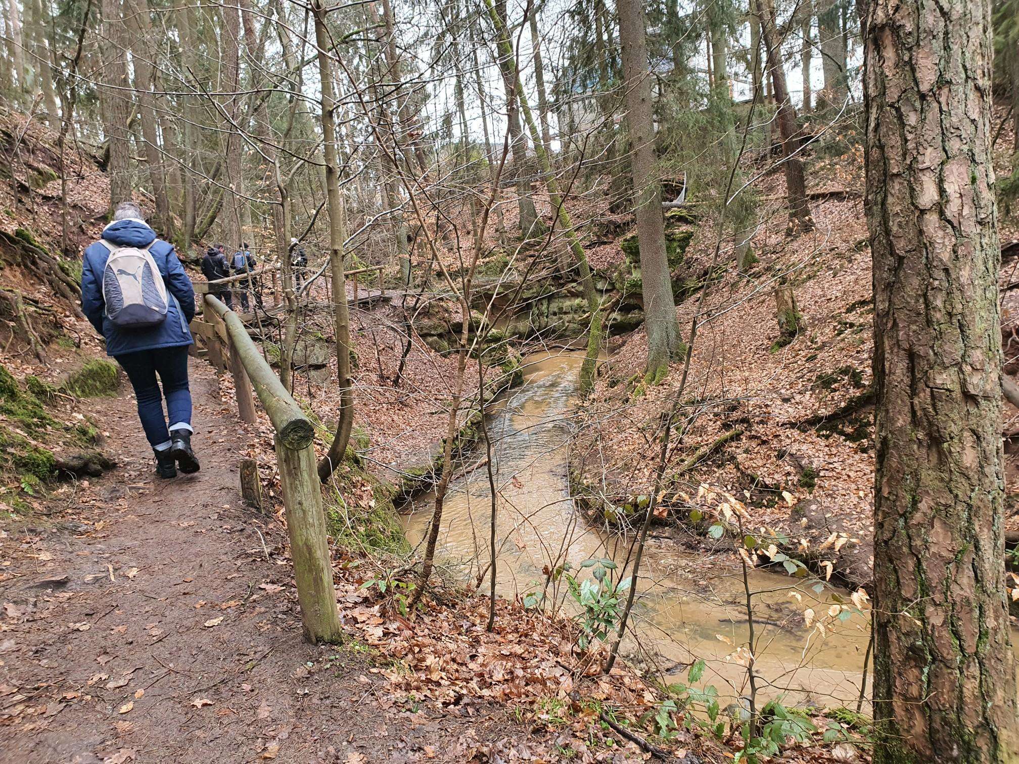
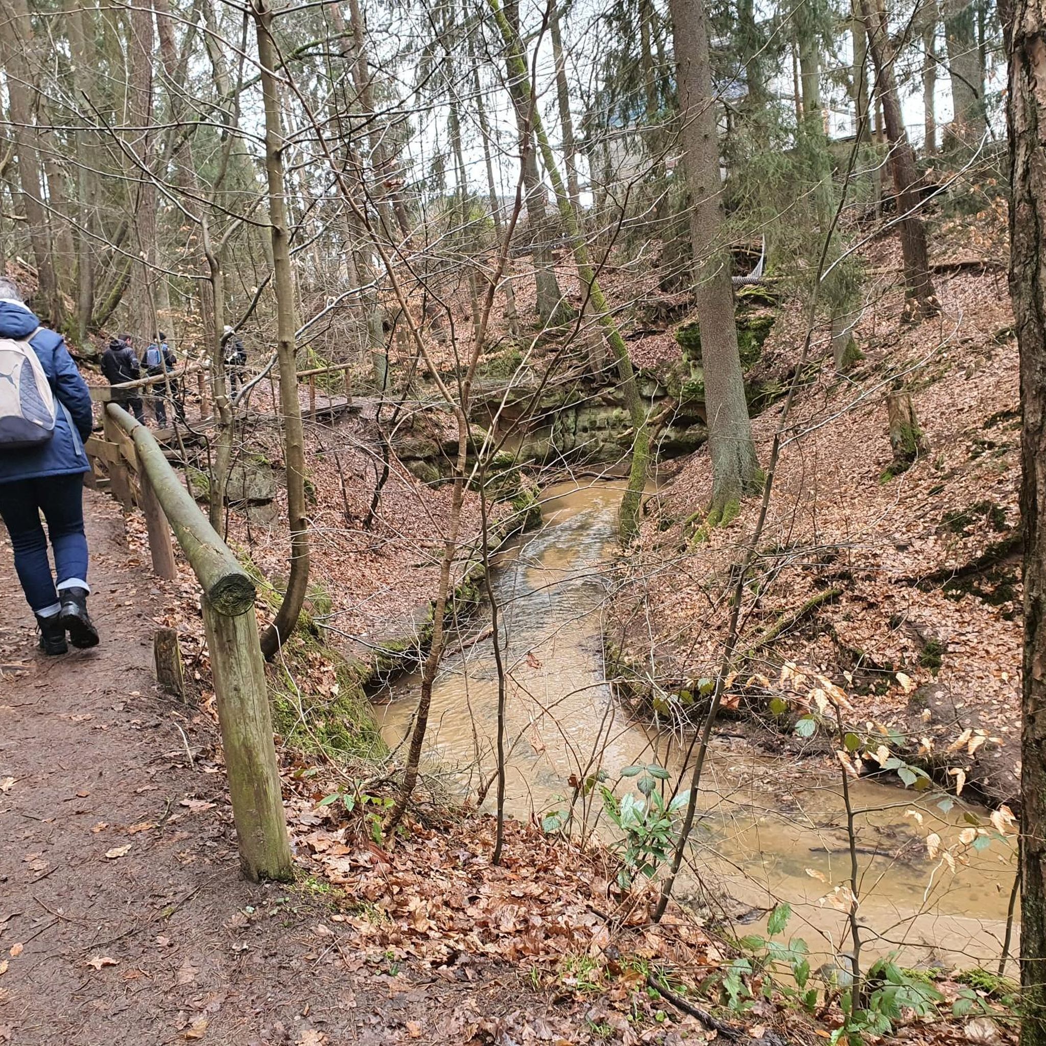
Jogging around Gilky Hill offers routes through varied landscapes, characterized by dense forests, river valleys, and rolling hills. The region features trails that traverse woodlands and open areas, providing a mix of terrain for runners. Elevations on these routes are typically under 200 meters, classifying them as hills rather than mountains. The presence of features like Loughermore Forest and Ness Waterfall indicates a natural environment suitable for outdoor running.
Best jogging routes around Gilky Hill
- The most popular jogging route…
Last updated: July 1, 2026
7
runners
11.1km
01:28
310m
310m
Hard run. Very good fitness required. Mostly paved surfaces. Suitable for all skill levels.
7
runners
Moderate run. Good fitness required. Mostly paved surfaces. Suitable for all skill levels.

Sign up for free
2
runners
5.83km
00:46
140m
140m
Moderate run. Good fitness required. Mostly paved surfaces. Suitable for all skill levels.
2
runners
10.0km
01:06
180m
180m
Moderate run. Good fitness required. Mostly paved surfaces. Suitable for all skill levels.
Our route recommendations are based on thousands of hikes, rides, and runs completed by other people on komoot.
Start today with a free account
Your next adventure awaits.
Login or Signup
Popular around Gilky Hill
Frequently Asked Questions
What kind of running experiences can I expect in Gilky Hill?
Gilky Hill offers a diverse range of running experiences, characterized by dense forests, scenic river valleys, and rolling hills. You'll find trails that traverse woodlands and open areas, providing varied terrain. The routes typically feature elevations under 200 meters, making them accessible hills rather than challenging mountains. The presence of natural features like Loughermore Forest and Ness Waterfall enhances the outdoor running environment.
Are there any beginner-friendly running routes in Gilky Hill?
While there are no routes specifically classified as 'easy' in this guide, several moderate options are suitable for runners looking for a less strenuous experience. For example, the Ervey /Tamnymore Woods loop from Ness Waterfall is a moderate 4.0-mile (6.5 km) path that offers beautiful views and winds through wooded areas. Another moderate choice is the Loughermore Forest loop from Loughermore River, a 3.6-mile (5.8 km) trail.
What are the typical distances and elevations for running trails around Gilky Hill?
Running trails in Gilky Hill vary in length and elevation. You can find routes like the Loughermore Forest loop from Loughermore River, which is 3.6 miles (5.8 km) with about 143 meters of elevation gain. For a longer challenge, the Loughermore – Loughermore Forest loop from Loughermore River covers 6.9 miles (11.1 km) with approximately 306 meters of ascent, offering significant elevation through forest terrain.
Are there any circular running routes in the Gilky Hill area?
Yes, many of the running routes around Gilky Hill are circular, allowing you to start and finish at the same point. A popular option is the Loughermore – Loughermore Forest loop from Loughermore River, which is a 6.9-mile (11.1 km) loop. Another great circular route is the Ervey /Tamnymore Woods loop from Ness Waterfall, a 4.0-mile (6.5 km) path that offers scenic views.
What can I see along the running routes in Gilky Hill?
The running routes in Gilky Hill offer a mix of natural beauty and historical interest. You'll encounter dense woodlands, river valleys, and rolling hills. A notable natural feature is Ness Waterfall, which is Northern Ireland's highest waterfall and can be seen along the Ervey /Tamnymore Woods loop. The wider region also features historical sites like Learmount Castle and Altinaghree Castle (Liscloon House), which are worth exploring nearby.
Are the running trails in Gilky Hill suitable for families?
The Gilky Hill area offers routes that can be enjoyed by families, depending on their fitness levels. The trails generally feature moderate elevations and varied terrain through forests and open areas. Shorter, moderate loops like the Loughermore Forest loop from Loughermore River (3.6 miles / 5.8 km) might be suitable for families looking for a pleasant outdoor activity, though supervision is always recommended.
What do other runners enjoy most about jogging in Gilky Hill?
The komoot community highly values the varied terrain and natural beauty of Gilky Hill. Runners often praise the tranquil atmosphere of the woodlands, the scenic river-side sections, and the moderate hills that provide a good workout without being overly strenuous. The presence of features like Loughermore Forest and Ness Waterfall are frequently highlighted as enjoyable aspects of the routes.
What are the trail conditions like after rain in Gilky Hill?
Given the region's characteristics of dense forests and river valleys, trails in Gilky Hill can become muddy and potentially slippery after heavy rain. Forest paths, in particular, may retain moisture. It's advisable to wear appropriate waterproof footwear with good grip and exercise caution on descents or uneven surfaces during wet conditions.
Are there any viewpoints or scenic spots along the running routes?
Yes, the running routes in Gilky Hill offer several scenic spots. The Ervey /Tamnymore Woods loop provides excellent views, including the impressive Ness Waterfall. Many trails also wind through Loughermore Forest, offering picturesque woodland vistas and glimpses of the surrounding rolling hills and river valleys.
What is the best time of year to go running in Gilky Hill?
The best time of year for running in Gilky Hill is generally during the spring, summer, and early autumn months. During these periods, the weather is typically milder, and the trails are less likely to be muddy or icy. Spring brings blooming flora, while summer offers longer daylight hours. Autumn provides beautiful foliage, though trails might be wetter. Winter running is possible but requires appropriate gear for colder, potentially wet or icy conditions.
Are there any other notable running trails near Gilky Hill?
Beyond the routes highlighted in this guide, the wider region offers additional running opportunities. For instance, the Standing Stone – Rath loop from Straidarran is another moderate 6.2-mile (10.0 km) route that explores different parts of the local landscape, providing a fresh perspective on the area's natural beauty.
Most popular routes around Gilky Hill
Most popular attractions around Gilky Hill

Get inspired with the komoot mobile app


Explore more
Browse the best Running Trails & Routes in other regions.
