The best MTB trails around Bocchigliero
5.0
(1)
27
riders
13
rides
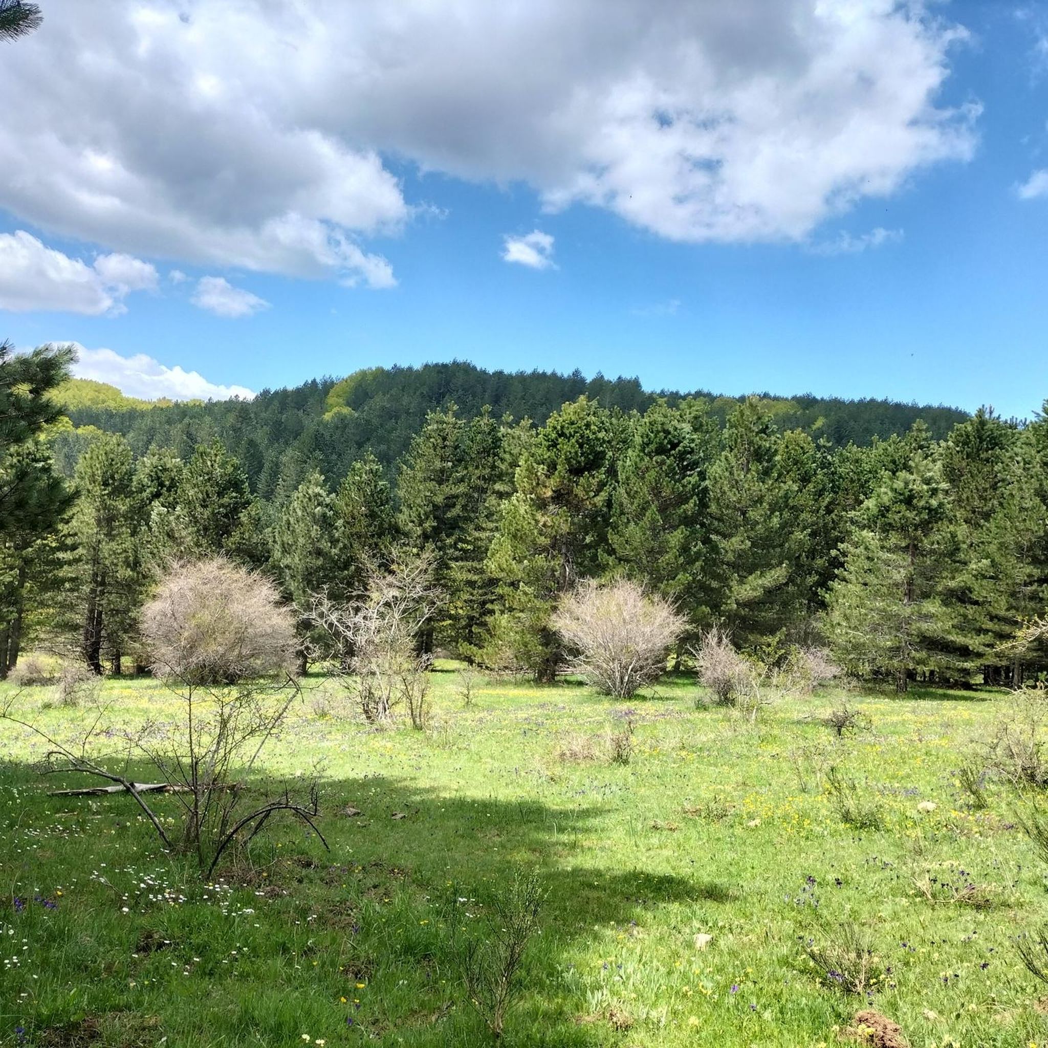
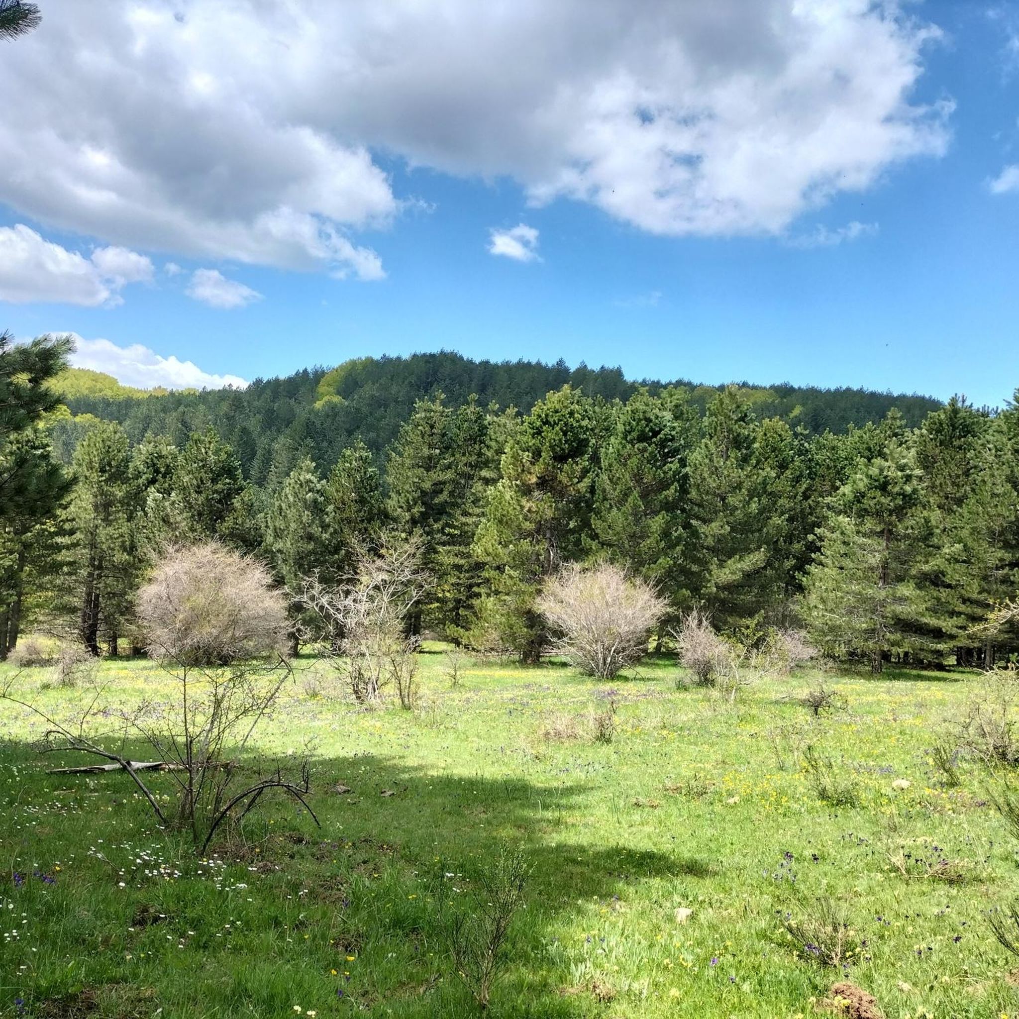
Mountain biking around Bocchigliero offers diverse terrain within the Sila National Park, a region characterized by its mountainous landscapes, extensive woodlands, and artificial lakes. The area transitions from high plateaus to rolling hills, providing varied environments for mountain bike trails. Valleys carved by torrents add dramatic gorges and waterfalls to the natural features.
Best mountain bike trails around Bocchigliero
- The most popular mountain bike trail is Valle e Laghetto di Macchialonga – giro ad anello nel Parco Nazionale della Sila…
Last updated: June 29, 2026
Hard mountain bike ride. Good fitness required. Advanced riding skills necessary. Some portions of the route may require you to push your bike.
1
riders
28.0km
02:19
600m
600m
Moderate mountain bike ride. Good fitness required. Suitable for all skill levels.

Sign up for free
5
riders
30.7km
02:21
620m
620m
Moderate mountain bike ride. Good fitness required. Advanced riding skills necessary.
4
riders
44.4km
02:58
620m
620m
Moderate mountain bike ride. Good fitness required. Suitable for all skill levels.
5.0
(1)
6
riders
43.4km
03:37
880m
870m
Moderate mountain bike ride. Good fitness required. Suitable for all skill levels.
Get access to more routes and recommendations from other explorers.
Sign up for free
Already have an account?
Our route recommendations are based on thousands of hikes, rides, and runs completed by other people on komoot.
Start today with a free account
Your next adventure awaits.
Login or Signup
Popular around Bocchigliero
Tips from the Community

The route takes place partly on an asphalt road and partly on a dirt road
0
0

San Giovanni in Fiore is an authentic Calabrian village in the Sila. The Abbey in the historic center is worth seeing, but there are also many other pearls to see.
2
0

suggestive place with these magnificent rock formations from which you have a beautiful panoramic view.
1
0

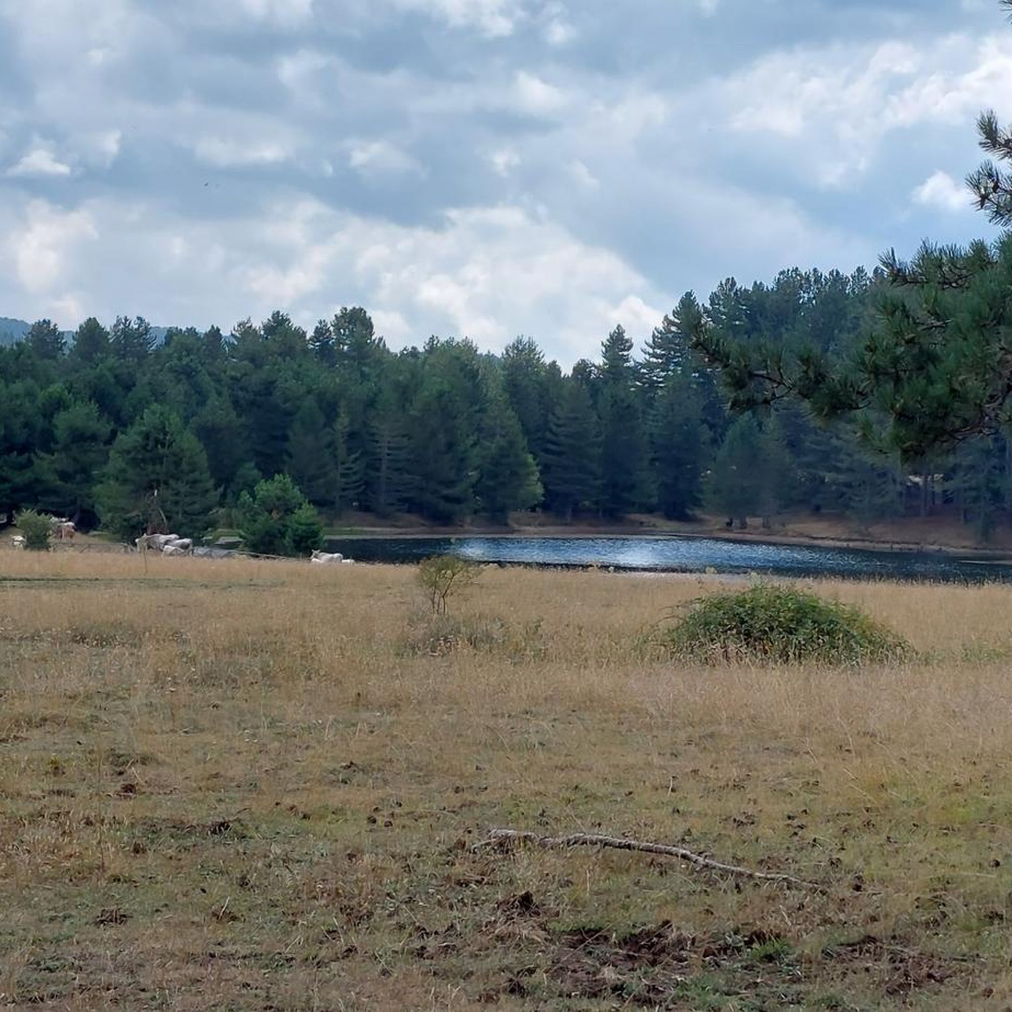
Path that crosses the Macchialonga Valley, with a series of very beautiful views overlooking the homonymous lake.
0
0
Stretch of path for pedaling immersed in nature, crossing the famous woods of the Sila National Park.
0
0

Large artificial lake in the Sila built in the 1950s by the Neto dam.
0
0
Roads with little traffic and literally immersed in nature and in the Sila pine forest.
1
0
Beautiful path in the heart of the Sila among the larches typical of this area.
0
1
Frequently Asked Questions
How many mountain bike trails are there around Bocchigliero?
There are 10 mountain bike trails around Bocchigliero, offering a variety of experiences within the Sila National Park. These routes range from moderate to difficult.
Are there mountain bike trails suitable for beginners or families in Bocchigliero?
While the guide lists 6 moderate and 4 difficult routes, the Sila National Park generally offers diverse trails. For a moderate option, consider Along the paths of the brigands - ring route in the Sila National Park, which is 17.4 miles long. The region's varied topography includes rolling hills that can be more accessible.
What kind of terrain can I expect on mountain bike trails in Bocchigliero?
The terrain around Bocchigliero is diverse, transitioning from mountainous landscapes and high plateaus to rolling hills. You'll encounter extensive woodlands, artificial lakes like Cecita, and valleys carved by torrents, which create dramatic gorges. The Sila National Park, a UNESCO World Heritage Site, defines much of the riding experience.
Are there any circular mountain bike routes available?
Yes, several routes are circular. For example, the Valle e Laghetto di Macchialonga – giro ad anello nel Parco Nazionale della Sila is a challenging 21.4-mile loop. Another popular option is the Lago di Cecita – Monoliths of Caccuri loop from San Giovanni in Fiore, a 19.1-mile moderate route.
Can I bring my dog on the mountain bike trails in Bocchigliero?
The Sila National Park, where Bocchigliero is located, generally welcomes dogs, but it's always advisable to keep them on a leash, especially in protected areas or near wildlife. Check specific trail regulations within the park for any restrictions.
What natural attractions or landmarks can I see while mountain biking?
Many routes pass by significant natural features. You can explore areas around Lake Cecita, an artificial lake known for its splendid habitats. The Sila National Park itself is a major attraction, home to ancient forests and diverse topography. You might also encounter the Macchialonga Pond or the dramatic gorges and pristine waterfalls carved by local torrents.
What is the best time of year to go mountain biking in Bocchigliero?
Bocchigliero benefits from an optimal climate, enjoying refreshing mountain air. The Sila plateau is situated over 1,000 meters above sea level. Spring and autumn generally offer pleasant temperatures for mountain biking, avoiding the peak heat of summer and potential snow in winter at higher elevations.
Are there any challenging mountain bike routes for experienced riders?
Yes, there are 4 difficult routes listed in the area. The Valle e Laghetto di Macchialonga – giro ad anello nel Parco Nazionale della Sila is a challenging 21.4-mile route with significant elevation gain, exploring the heart of the Sila National Park.
What do other mountain bikers say about the trails in Bocchigliero?
The mountain bike trails around Bocchigliero are highly rated by the komoot community, with an average score of 5.0 stars. Over 20 mountain bikers have used komoot to explore the varied terrain, often praising the extensive forests, artificial lakes, and diverse mountainous landscapes of the Sila National Park.
Are there any specific permits required to mountain bike in the Sila National Park?
Generally, mountain biking is permitted on designated trails within the Sila National Park. However, it's always a good practice to check the official Sila National Park website or visitor centers, such as the Cupone Visitor Center near Lake Cecita, for any specific regulations or permits that might apply to certain areas or activities.
What are some of the longer mountain bike routes in the area?
For longer rides, consider the Lago di Cecita – Lago Ariamacina loop from San Giovanni in Fiore, which spans 27.1 miles. Another substantial option is the Valle e Laghetto di Macchialonga – giro ad anello nel Parco Nazionale della Sila at 21.4 miles.
Are there places to eat or drink near the mountain bike trails?
The village of Bocchigliero itself offers a charming cultural backdrop with local amenities. Within the Sila National Park, visitor centers like the Cupone Visitor Center near Lake Cecita can be starting points for excursions and may offer facilities. Exploring the villages within the park will likely reveal cafes and pubs.
Most popular routes around Bocchigliero
Most popular attractions around Bocchigliero

Get inspired with the komoot mobile app


Explore more
Browse the best MTB trails in other regions.
