The best road cycling routes in Scarba, Lunga And The Garvellachs
4.0
(1)
54
riders
2
rides
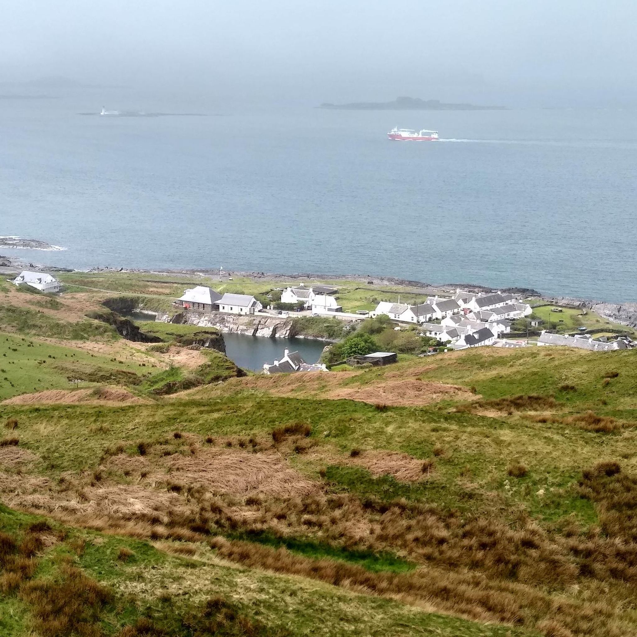
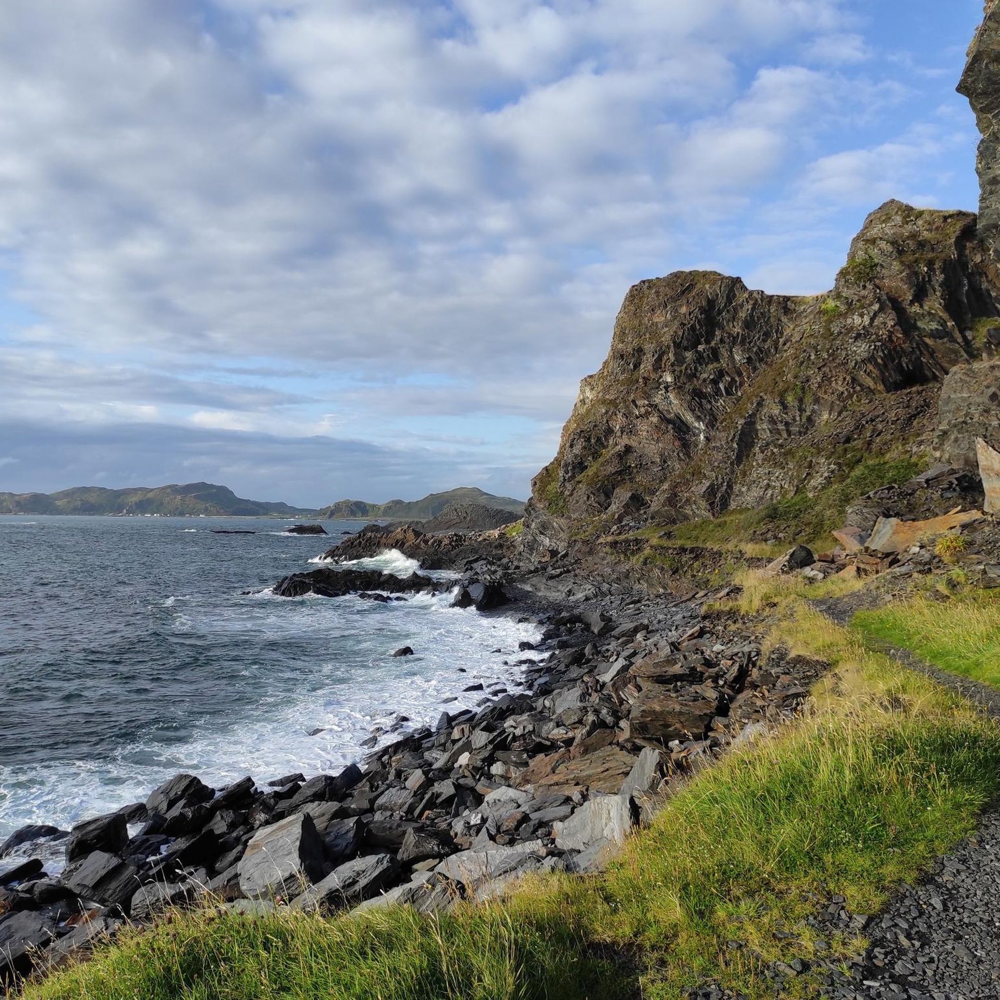
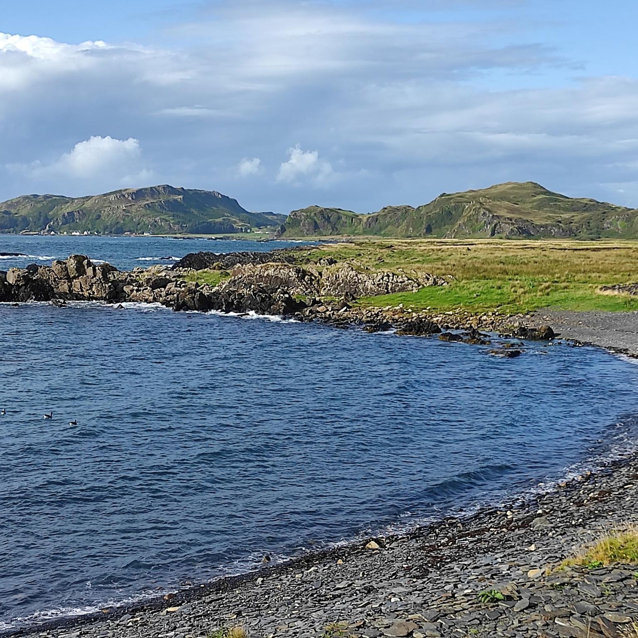
Road cycling routes in Scarba, Lunga And The Garvellachs traverse a region characterized by its dramatic coastal landscapes, lochs, and varied island topography. The broader area, including accessible islands like Seil, offers a mix of paved roads with views of the Firth of Lorn and its strong tidal flows. While the remote islands of Scarba, Lunga, and the Garvellachs themselves are largely undeveloped for road cycling, the surrounding mainland and connected islands provide routes through green, scrub-clad areas and past wooded flanks. This region features a diverse environment, from sea views to inland lochs and river valleys.
Best road cycling routes in Scarba, Lunga And The Garvellachs
- The most popular road cycling route is An Cala Garden – Scenic Road Along Loch Feochan loop from Seil, a 24.0 miles (38.6 km) trail that takes 1 hour 39 minutes to complete. This route offers scenic views along Loch Feochan.
- Another top favourite among local road cyclists is Scenic Road Along Loch Feochan – View of Loch Melfort loop from Seil, an easy 23.1 miles (37.2 km) path. This route provides expansive views of both Loch Feochan and Loch Melfort.
- Local road cyclists also love the River Oude Scenic Road – Loch nan Druimnean loop from Clachan-Seil, a 28.9 miles (46.5 km) trail leading through river valleys and past Loch nan Druimnean, often completed in about 2 hours 10 minutes.
- Road cycling in Scarba, Lunga And The Garvellachs is defined by coastal roads, lochside paths, and gentle hills. The network offers options for different ability levels, from easy loops to moderate challenges.
- The routes in Scarba, Lunga And The Garvellachs are highly rated by the komoot community with an average score of 4.0 stars from over 1 review. More than 58 road cyclists have used komoot to explore Scarba, Lunga And The Garvellachs's varied terrain.
Last updated: October 14, 2026
4.0
(1)
28
riders
38.6km
01:39
320m
320m
Moderate road ride. Good fitness required. Mostly well-paved surfaces and easy to ride.
16
riders
37.2km
01:35
250m
250m
Easy road ride. Great for any fitness level. Mostly well-paved surfaces and easy to ride.

10
riders
46.5km
02:11
590m
590m
Moderate road ride. Good fitness required. Mostly well-paved surfaces and easy to ride.
Our route recommendations are based on thousands of hikes, rides, and runs completed by other people on komoot.
Start today with a free account
Your next adventure awaits.
Popular around Scarba, Lunga And The Garvellachs
Tips from the Community


Loch nan Druimnean is a picturesque Scottish loch nestled amidst rolling hills, giving idyllic viewpoints and tranquil scenery.
0
0
Kilmelford War Memorial, Scotland, honours local heroes who served and sacrificed in conflicts.
0
0

Lovely flat scenic section of road running parallel to Loch Feochan.
0
0
A beautiful scenic section of road running alongside the River Oude and Oude Dam.
0
0
Frequently Asked Questions
What are the road cycling opportunities in the Scarba, Lunga, and Garvellachs region?
While the remote islands of Scarba, Lunga, and the Garvellachs themselves are largely undeveloped for road cycling, the broader area, including accessible nearby islands like Seil and Luing, offers excellent opportunities. You'll find a mix of paved roads with views of the Firth of Lorn, green landscapes, and coastal paths.
Are there beginner-friendly road cycling routes in this area?
Yes, the region offers routes suitable for various ability levels. For instance, the Scenic Road Along Loch Feochan – View of Loch Melfort loop from Seil is an easy 23.1-mile (37.2 km) path, providing expansive views and a gentle cycling experience.
What kind of terrain can I expect on road cycling routes near Scarba, Lunga, and the Garvellachs?
Road cycling in the accessible parts of this region, such as around Seil and Clachan-Seil, is characterized by coastal roads, lochside paths, and gentle hills. You can expect routes traversing dramatic coastal landscapes, past lochs, and through varied island topography, with some routes leading through river valleys.
Are there any circular road cycling routes available?
Yes, several routes in the area are designed as loops. For example, the popular An Cala Garden – Scenic Road Along Loch Feochan loop from Seil is a 24.0-mile (38.6 km) trail offering scenic views along Loch Feochan, and the River Oude Scenic Road – Loch nan Druimnean loop from Clachan-Seil is a 28.9-mile (46.5 km) loop through river valleys.
How can I reach the road cycling routes in this region?
Access to the broader region, including islands like Seil, is typically via mainland connections or ferries. Caledonian MacBrayne (CalMac) ferries generally carry bicycles free of charge, making it convenient to access various islands. For specific routes, parking is often available at starting points in villages like Seil or Clachan-Seil.
What is the best time of year for road cycling in the Scottish islands?
The best time for road cycling in the Scottish islands, including this region, is generally from late spring to early autumn (May to September). During these months, you can expect milder weather, longer daylight hours, and a higher chance of dry conditions, though Scottish weather can always be unpredictable.
Are there family-friendly cycling options in the area, particularly on islands like Luing or Seil?
While specific family-friendly routes are not detailed for Luing, the accessible islands like Seil offer routes with varying difficulty levels, including easy options. These can be suitable for families looking for less challenging rides, especially on quieter roads away from main traffic.
Can I bring my dog on cycling trips in this region?
Many outdoor areas in Scotland are dog-friendly, but it's essential to keep dogs under control, especially near livestock or wildlife. On cycling routes, ensure your dog is well-behaved and can keep pace safely, or consider using a dog trailer. Always check local regulations for specific areas or ferry services.
What are some scenic highlights or viewpoints along the road cycling routes?
The road cycling routes in this region offer numerous scenic highlights. You can expect expansive views of Loch Feochan and Loch Melfort, dramatic coastal landscapes, and glimpses of the Firth of Lorn with its strong tidal flows. The routes also pass through green, scrub-clad areas and past wooded flanks, providing diverse natural beauty.
What should I pack for road biking in the Scarba, Lunga, and Garvellachs region?
Given the variable Scottish weather, it's advisable to pack layers, including waterproof and windproof outer shells. Essential items include a helmet, repair kit, sufficient water and snacks, and a fully charged phone. Sun protection is also recommended, even on cloudy days. Consider a map or GPS device, as mobile signal can be intermittent in remote areas.
Are there cafes or pubs near the road cycling routes for refreshments?
While the remote islands themselves have very limited facilities, the more accessible areas like Seil and Clachan-Seil, where the cycling routes are located, do offer options for refreshments. You can find local cafes and pubs in these villages to refuel during or after your ride.
How long are the road bike routes in the accessible parts of the region?
The road cycling routes in the accessible areas, such as those around Seil and Clachan-Seil, typically range from approximately 23 to 29 miles (37 to 46.5 km) in length. For example, the An Cala Garden – Scenic Road Along Loch Feochan loop from Seil is 24.0 miles (38.6 km).
Most popular routes in Scarba, Lunga And The Garvellachs

Get inspired with the komoot mobile app


Explore more
Browse the best Road cycling routes in other regions.
