The best waterfall hikes and walks around Réserve Naturelle du Néouvielle
4.6
(1944)
23,029
hikers
11
hikes
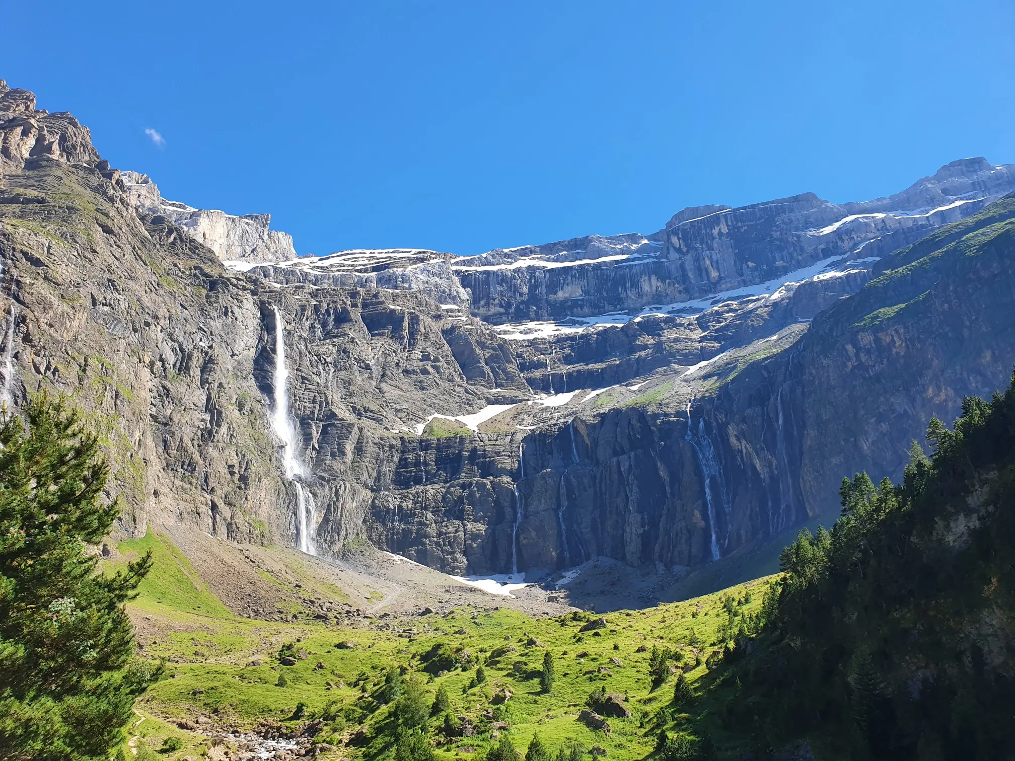
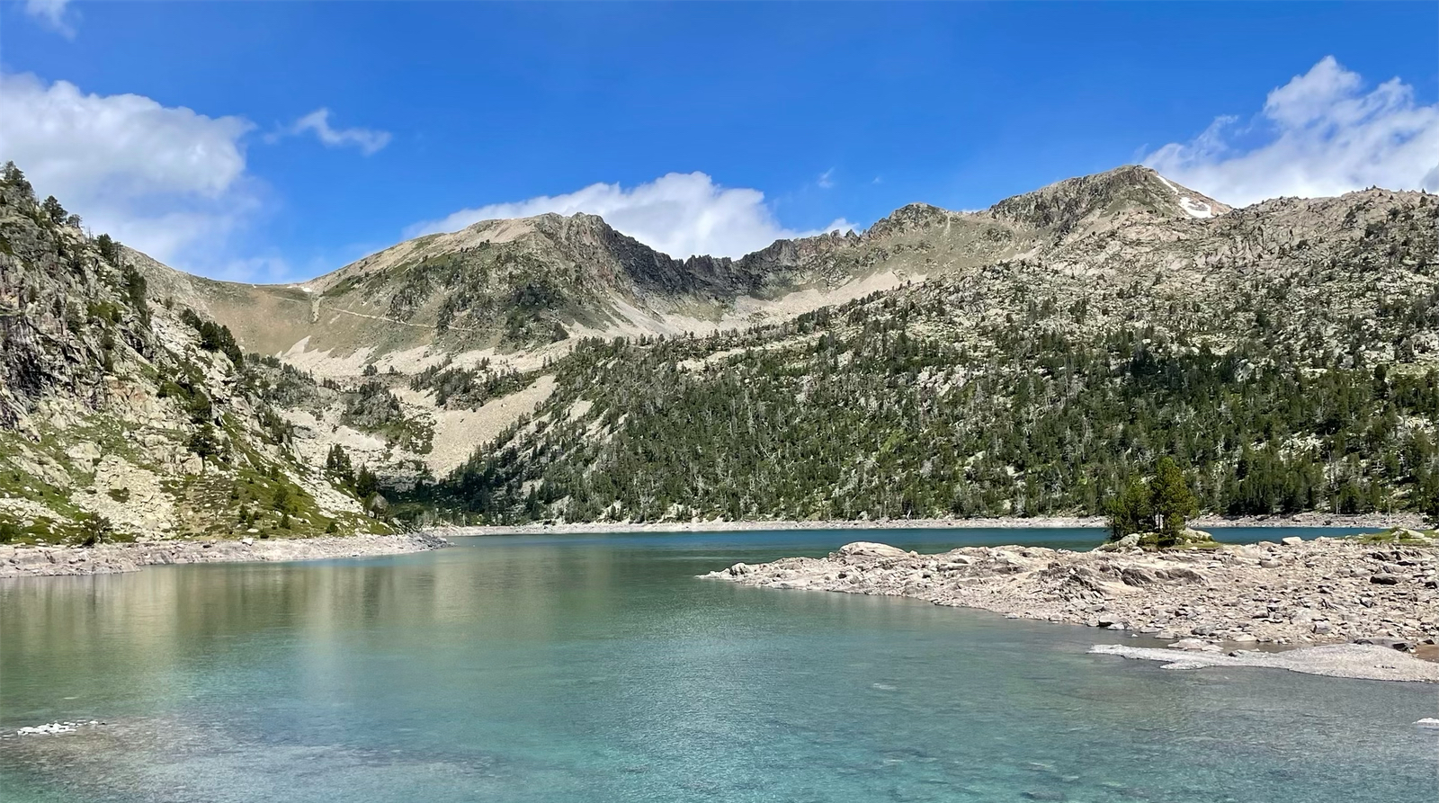
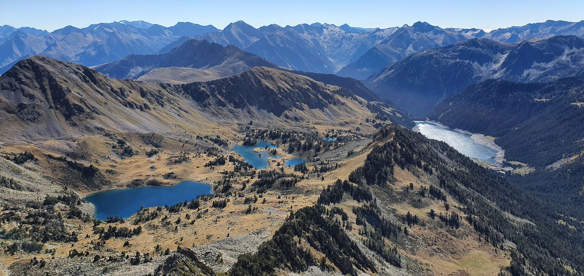
Waterfall hiking trails around Réserve Naturelle du Néouvielle traverse a high-mountain environment characterized by glacial lakes, ancient pine forests, and rugged granite massifs. The region's topography has been shaped by past glacial activity, resulting in dramatic reliefs and numerous fast-flowing torrents. Hikers encounter diverse landscapes, from high-altitude woodlands to open mountain terrain, with elevations reaching over 3,000 meters. This protected area offers a variety of paths through its unique natural features.
Best waterfall hiking trails around Réserve Naturelle du Néouvielle
…Last updated: July 9, 2026
5.0
(1)
22
hikers
17.4km
05:41
630m
630m
Hard hike. Very good fitness required. Mostly accessible paths. Sure-footedness required.
3.0
(3)
17
hikers
22.5km
07:54
1,080m
1,080m
Hard hike. Very good fitness required. Mostly accessible paths. Sure-footedness required.

Sign up for free
5.0
(1)
14
hikers
25.6km
11:15
1,790m
1,790m
Hard hike. Very good fitness required. Sure-footedness, sturdy shoes and alpine experience required.
4.8
(11)
88
hikers
6.29km
02:45
480m
480m
Moderate hike. Good fitness required. Mostly accessible paths. Sure-footedness required.
5.0
(5)
29
hikers
3.95km
01:23
220m
220m
Easy hike. Great for any fitness level. Easily-accessible paths. Suitable for all skill levels.
Get access to more routes and recommendations from other explorers.
Sign up for free
Already have an account?
Our route recommendations are based on thousands of hikes, rides, and runs completed by other people on komoot.
Start today with a free account
Your next adventure awaits.
Login or Signup

Other adventures around Réserve Naturelle du Néouvielle


Tips from the Community

magnificent valley with breathtaking view of the Pic du Midi
0
0


mythical and EPIC port of the Pyrenees. It is the highest 2115mts
2
0

It is better to climb the Col d'Estoudou than to descend. The path is riddled with roots and stones, relatively steep, but nowhere exposed
0
0

A very nice hike to do. Bring good walking shoes and think about leaving early. Your arrival at the refuge will be the best place for a snack break and to regain your strength before starting the return descent.
0
0

Located a few steps from the dam of the lake of the same name, the refuge overlooks the valley. Comfortable and bucolic, it welcomes visitors all year round. More information here: https://refugedeloule.fr/.
1
0
The Col du Tourmalet is one of the most legendary in the Pyrenees and the Tour de France. It is the pass that has been used most often in the history of the Tour since its first time in 1910. Culminating at 2,115 meters above sea level, it is also one of the highest. It is reached from Luz-Saint-Sauveur via 19 kilometers at 7.4% or from Sainte-Marie-de-Campan over 17.2 kilometers at 7.37% on average.
11
2
Lake Gréziolles is a superb high-altitude lake perched at an altitude of 2,113 meters. Raised by a dam, it is home to many species of fish including brown trout.
0
0
Frequently Asked Questions
How many waterfall hiking trails are available in Réserve Naturelle du Néouvielle?
Réserve Naturelle du Néouvielle offers a selection of 10 waterfall hiking trails. These routes traverse a high-mountain environment characterized by glacial lakes, ancient pine forests, and rugged granite massifs, providing diverse options for exploration.
What kind of terrain can I expect on waterfall hikes in Réserve Naturelle du Néouvielle?
You can expect a diverse high-mountain terrain shaped by ancient glaciers. Trails often lead through granite massifs, alongside fast-flowing torrents connecting numerous glacial lakes, and through some of Europe's highest-altitude Scots pine forests. The landscape ranges from open mountain expanses to unique 'suspended garden' ecosystems.
What is the best time of year to experience the waterfall hikes?
The best time to experience waterfall hikes in Réserve Naturelle du Néouvielle is typically from late spring to early autumn (June to September). During this period, the snow has largely melted, trails are more accessible, and the weather is generally more favorable, allowing for the full flow of the waterfalls and vibrant natural scenery.
Are there any challenging waterfall hikes for experienced hikers?
Yes, for experienced hikers seeking a challenge, routes like the Route to Lac d'Orédon – Lac de l'Oule loop from Aragnouet offer significant elevation gain over 17.1 km. Another demanding option is the Col d'Estoudou – Lake Orédon loop from Aragnouet, a 22.5 km path with extensive views and challenging ascents around glacial lakes.
Can I find moderate waterfall hikes suitable for a good day out?
Absolutely. There are several moderate waterfall hikes perfect for a rewarding day out. For instance, the Cabanes de Tramazaygues – Arises Waterfall loop from Cascade d'Arises is a 6.3 km loop that offers a beautiful experience without extreme difficulty. Another great option is the Arises Waterfall – La Mongie loop from Artigues, a 10.8 km route with moderate ascents.
Are the waterfall trails in Réserve Naturelle du Néouvielle family-friendly?
While many trails in the Réserve Naturelle du Néouvielle are challenging, there are options suitable for families. Look for routes described as 'easy' or 'moderate' and consider shorter loops around the lower-altitude lakes. The reserve's stunning glacial lakes and ancient pine forests provide a captivating environment for all ages, but always check the specific route details for distance and elevation to ensure it matches your family's ability.
Are dogs allowed on the waterfall hiking trails?
The Réserve Naturelle du Néouvielle is a protected area with specific regulations regarding dogs to preserve its unique wildlife and environment. Generally, dogs are often restricted or must be kept on a leash in certain zones. It's crucial to check the current regulations of the reserve before planning your hike with a dog, as rules can vary by specific trail or season.
What notable landmarks or natural features can I see along the waterfall trails?
Along the waterfall trails, you'll encounter numerous stunning natural features. The reserve is dotted with approximately 70 high-altitude glacial lakes, such as Lake Orédon, Lac d'Aubert, Les Laquettes, and Lake Oule. You'll also pass through ancient Scots pine forests and witness the dramatic reliefs shaped by past glacial activity, offering breathtaking views of the Pyrenean chain.
Are there circular waterfall routes available in the reserve?
Yes, the Réserve Naturelle du Néouvielle offers several circular routes that allow you to experience its waterfalls and stunning landscapes. For example, the Cabanes de Tramazaygues – Arises Waterfall loop from Cascade d'Arises is a moderate 6.3 km circular hike. Many trails around the glacial lakes, such as Orédon, Cap de Long, Aubert, and Les Laquettes, are also designed as loops.
What do other hikers enjoy most about hiking in Réserve Naturelle du Néouvielle?
The area is highly rated by the komoot community, with an average score of 4.5 stars from over 500 reviews. Hikers frequently praise the pristine natural environment, the dramatic glacial landscapes, and the rich biodiversity. The extensive network of trails, from leisurely strolls to challenging ascents, is also a highlight, offering something for every level of outdoor enthusiast.
Is parking available near the waterfall trailheads?
Parking is generally available at key access points to the Réserve Naturelle du Néouvielle, often near the major lakes or starting points of popular trails. However, during peak season, these areas can become busy. It's advisable to arrive early, especially for popular trailheads like those leading to Lac d'Orédon or Lac d'Aubert, to secure a spot.
Are there opportunities for wild swimming near the waterfalls or lakes?
The Réserve Naturelle du Néouvielle is known for its numerous glacial lakes and fast-flowing torrents. While the pristine waters can be very inviting, wild swimming regulations vary and are often restricted in protected areas to preserve the delicate ecosystem. Always check local signage and regulations before entering the water, as temperatures can also be very cold due to the high altitude.
Most popular routes around Réserve Naturelle du Néouvielle
Most popular attractions around Réserve Naturelle du Néouvielle

Get inspired with the komoot mobile app


Explore more
Browse the best Hikes in other regions.
