The best mountain hikes around Poueyferré
4.8
(3)
22
hikers
5
hikes
Mountaineering routes around Poueyferré offer access to the Pyrenean foothills, characterized by varied terrain including prominent peaks and forested slopes. The region provides a mix of moderate and difficult ascents, with routes often leading to panoramic viewpoints. Elevations range significantly, providing diverse challenges for mountaineers.
Best mountaineering routes around Poueyferré
- The most popular mountaineering route is Pic du Jer Mountain Biking – Pic du Jer loop from Lourdes, a 7.0 miles (11.3 km) trail that takes 3 hours 37…
Last updated: June 24, 2026
8
hikers
11.4km
03:38
510m
510m
Moderate mountaineering route. Good fitness required. Easily-accessible paths. Suitable for all skill levels.
5.0
(1)
6
hikers
8.70km
03:01
500m
500m
Moderate mountaineering route. Good fitness required. Easily-accessible paths. Suitable for all skill levels.

Sign up for free
4.5
(2)
4
hikers
14.5km
05:58
990m
990m
Hard mountaineering route. Very good fitness required. Sure-footedness, sturdy shoes and alpine experience required.
2
hikers
6.65km
02:49
560m
560m
Moderate mountaineering route. Good fitness required. Easily-accessible paths. Suitable for all skill levels.
2
hikers
4.53km
01:56
330m
330m
Moderate mountaineering route. Good fitness required. Mostly accessible paths. Sure-footedness required.
Our route recommendations are based on thousands of hikes, rides, and runs completed by other people on komoot.
Start today with a free account
Your next adventure awaits.
Login or Signup
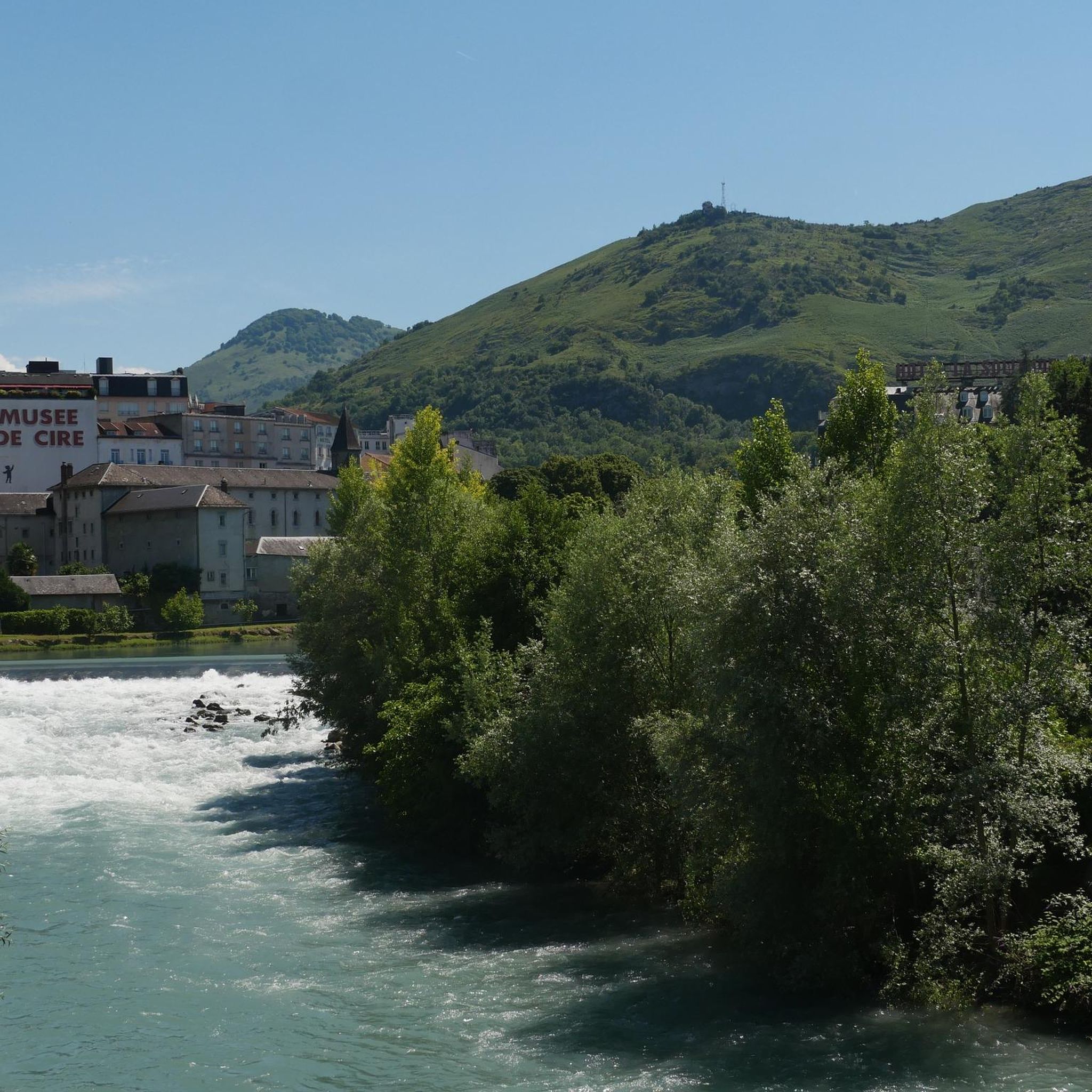
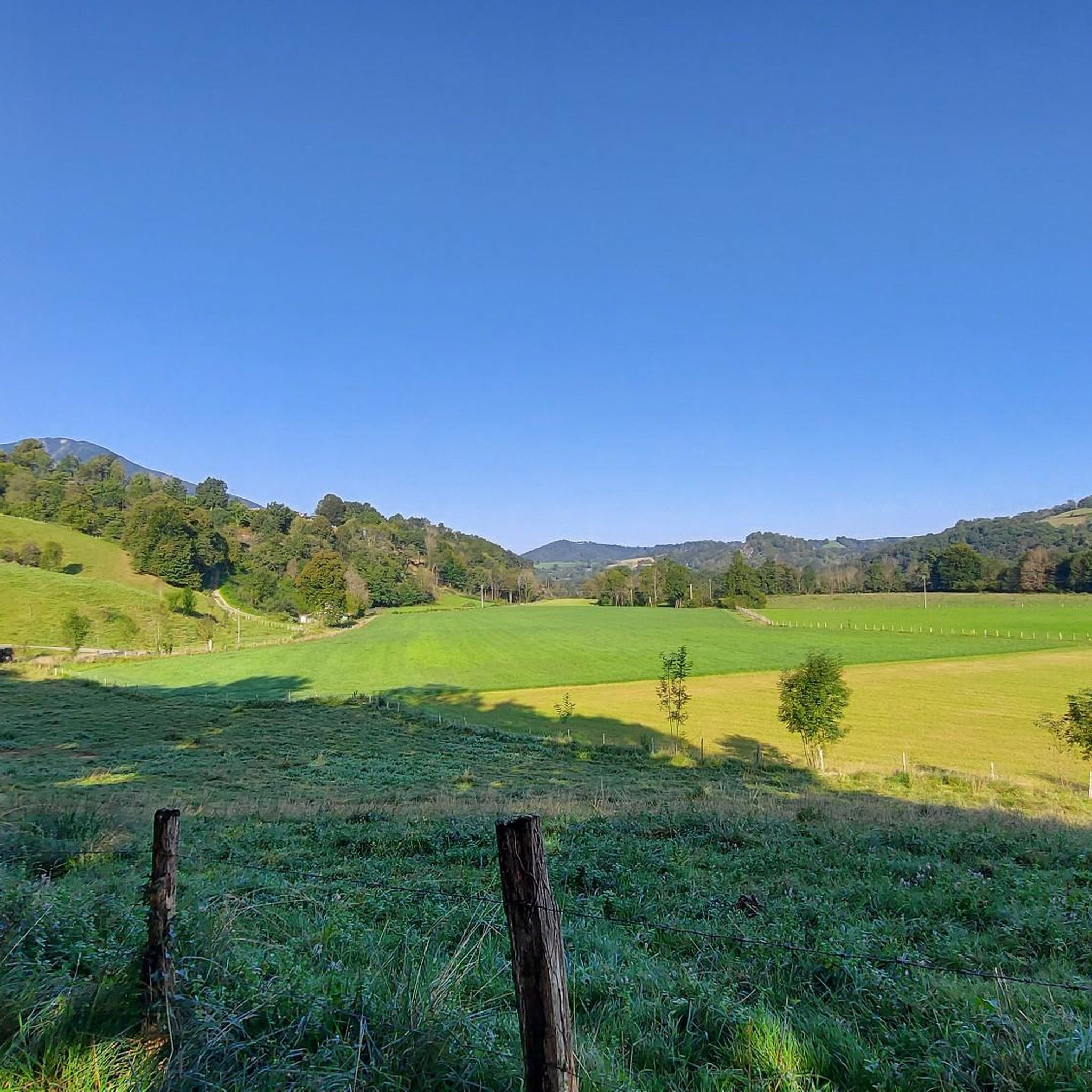
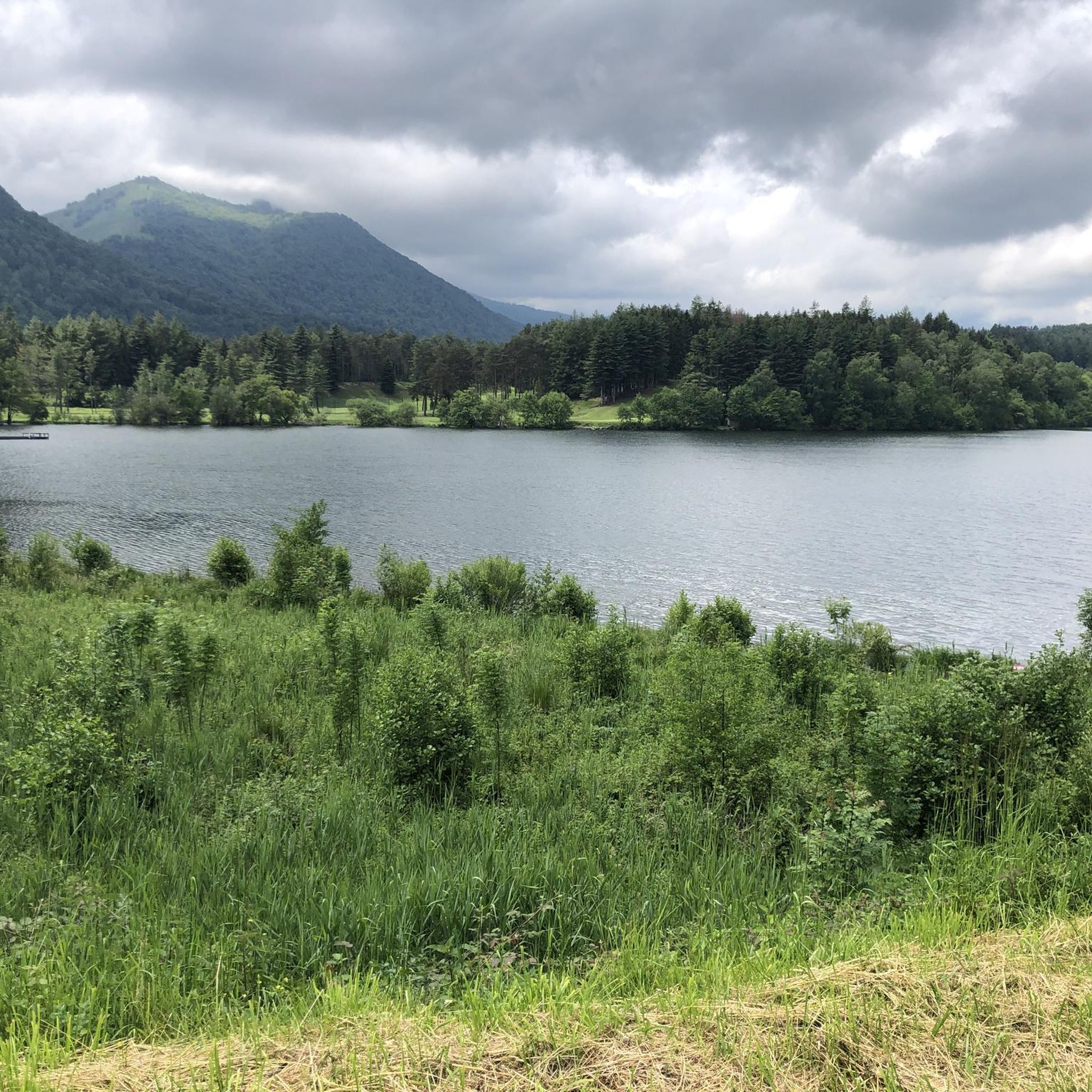
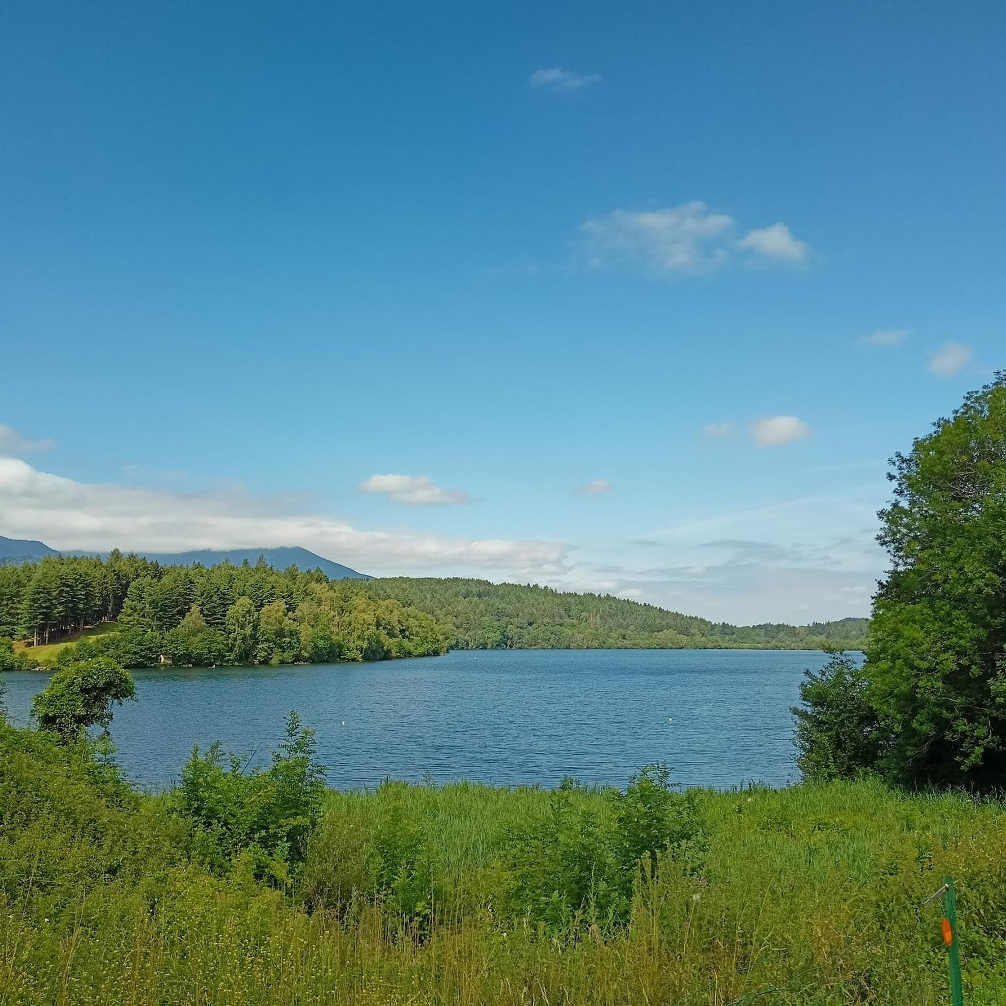

Tips from the Community

For your information, historically this was the arrival station for the cable car. It operated until the installation of the television and radio relay. After a storm, it's not uncommon for the relay to go into standby mode. TDF has a contract that runs from Monday to Friday. In case of a power outage, the weekend is reserved for reading or playing board games.
0
0

nice relaxing hike (down the mountain) not far from Lourdes
0
0
hike to do in dry weather, with a magnificent view of the Pic du Jer at the summit
0
0


The Jer peak peaks at 948 meters, overlooking the emblematic city of Lourdes. Also accessible by funicular, it offers a superb view of the city and its valley.
1
0

Magnificent view over the plain and the Gaves valley. On the other hand, it is not an old luxury hotel at the top, but the old cable car station. There is indeed a project to transform it into a shelter, but the funding is not forthcoming.
1
0

Magnificent viewpoint once at the top but DO NOT take the route that leaves from Parking Boissarie!! From the old cable car down to the river the hiking trail no longer exists. No choice but to go down but in the middle of brambles, nettles and a few slips. As the old hiking trail is no longer maintained, it has become dangerous. With the "good" surprise of coming face to face with hunters...
2
0
This is BY FAR the WORST route I have ever walked there. This so-called "walking path" is a 10 cm narrow dirt furrow that the cows use. What I have never had before is that a path is drawn that is qua non-existent. I was standing in front of a rocky cliff while descending and had two options 1. Call a helicopter 2. Somehow get down there without sustaining life-threatening injuries. I then slid almost 20 meters down the slope with my butt first. It should be mentioned in passing that the remaining “paths” are completely overgrown with nettles, small fir trees and other thorny plants. I cut myself EVERYTHING and can only hope I don't end up in the hospital with a tetanus infection. Please, please people, AVOID this route at ALL costs.
4
1
Frequently Asked Questions
What are the typical difficulty levels for mountaineering routes around Poueyferré?
The mountaineering routes around Poueyferré offer a range of challenges. You'll find a mix of moderate and difficult ascents. According to komoot data, there are 4 moderate routes and 1 difficult route available in this guide.
Are there any routes suitable for beginners or those looking for a less strenuous climb?
While there are no routes explicitly rated 'easy' in this guide, several moderate routes could be suitable for beginners with a reasonable fitness level. For example, the Béout Peak loop from Lourdes is one of the shorter moderate options, covering 4.5 km with an elevation gain of around 330 meters.
What is the typical duration for mountaineering routes in Poueyferré?
The duration varies depending on the route's length and elevation gain. For instance, the Pic du Jer loop from Lourdes typically takes around 3 hours 37 minutes, while the more challenging Pibeste Peak loop from Agos-Vidalos can take closer to 5 hours 55 minutes.
Where can I find parking for mountaineering routes in Poueyferré?
Many routes start from towns like Lourdes or Agos-Vidalos, where public parking facilities are generally available. For example, routes like the Jer Peak loop begin near Lourdes, offering convenient access to parking in the town.
Are permits required for mountaineering in the Poueyferré region?
Generally, permits are not required for day hikes on established mountaineering routes in the Poueyferré region. However, it's always advisable to check local regulations, especially if you plan to venture into protected areas or undertake more technical climbs.
What is the best season for mountaineering around Poueyferré?
The best season for mountaineering in the Pyrenean foothills around Poueyferré is typically from late spring to early autumn (May to October). During these months, the weather is generally more stable, and trails are clear of snow at lower to mid-altitudes. Always check local weather forecasts before heading out.
Are there any circular mountaineering trails in Poueyferré?
Yes, many of the mountaineering routes in this guide are circular, allowing you to return to your starting point without retracing your steps. Examples include the Pic du Jer loop from Lourdes and the Pibeste Peak loop from Ségus.
What interesting landmarks or attractions can I see near the mountaineering routes?
The region around Poueyferré is rich in natural beauty and cultural sites. You can explore prominent peaks like Pibeste Peak and Pic du Jer, which often offer panoramic views. The town of Lourdes, a significant pilgrimage site, is also nearby, featuring the Lourdes sanctuary estate and the Sanctuary of Our Lady of Lourdes.
What do other mountaineers enjoy most about the routes in Poueyferré?
The komoot community highly rates the mountaineering experience in Poueyferré, with an average score of 4.75 stars. Reviewers often praise the varied terrain, accessible peaks, and the rewarding panoramic views from summits like Pic du Jer and Pibeste Peak.
Are there any options for public transport to reach the mountaineering trailheads?
Many routes are accessible from Lourdes, which is well-served by public transport, including train and bus services. From Lourdes, you can often find local buses or taxis to reach specific trailheads. It's recommended to check local transport schedules for the most up-to-date information.
What kind of wildlife might I spot while mountaineering in this area?
The Pyrenean foothills are home to diverse wildlife. Keep an eye out for various bird species, including raptors soaring overhead. You might also encounter chamois, marmots, or even wild boars, especially in quieter, forested sections of the trails.
Are there any cafes or pubs near the mountaineering routes for refreshments?
Given that many routes start or pass near towns like Lourdes or Agos-Vidalos, you'll find various options for refreshments, including cafes, restaurants, and pubs. It's a good idea to plan your route to include a stop in one of these towns if you're looking for a break.
Most popular routes around Poueyferré
Most popular attractions around Poueyferré

Get inspired with the komoot mobile app


Explore more
Browse the best Mountain Hikes & Routes in other regions.
