The best gravel rides around Plan D'Eau D'Ecluzelles
22
riders
4
rides
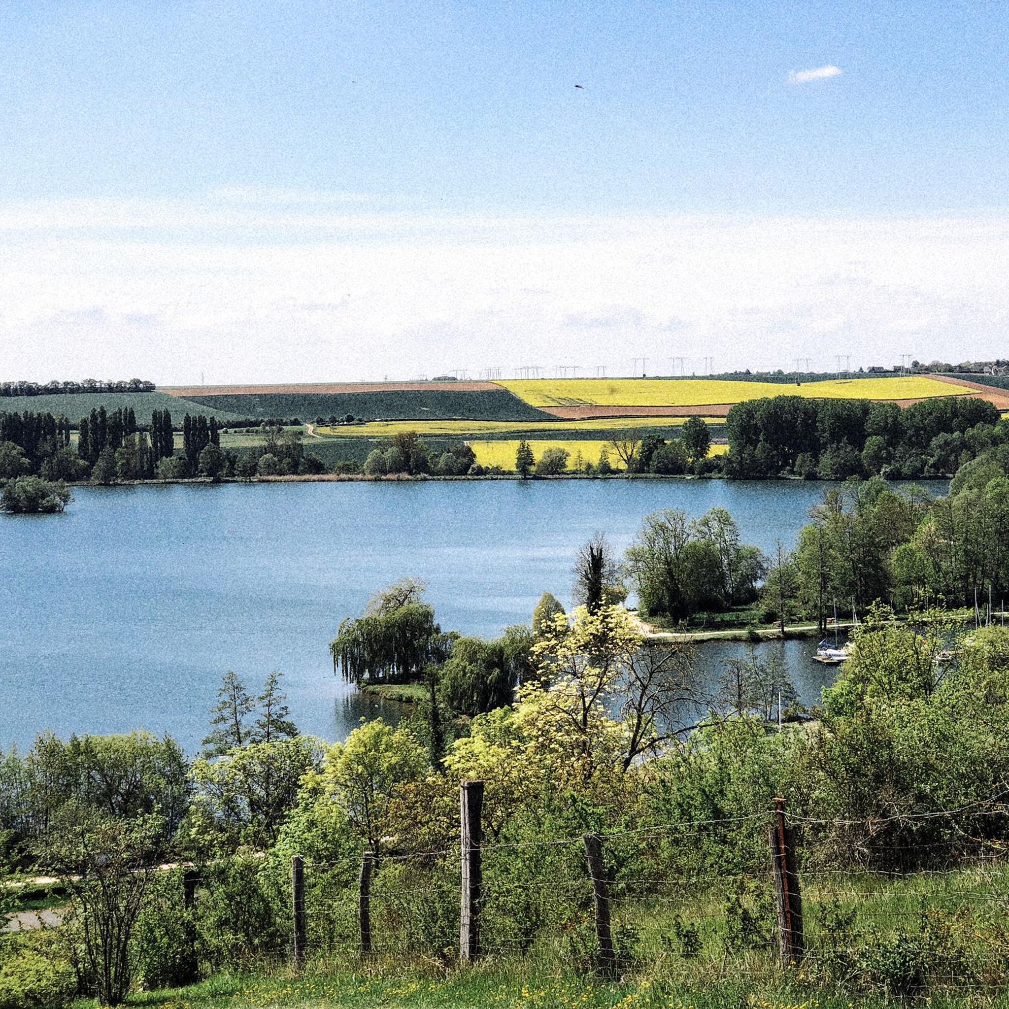
Gravel biking around Plan D'Eau D'Ecluzelles offers a network of routes through a landscape characterized by forests, open fields, and the lake itself. The region features generally low elevation gains, making many paths accessible for various skill levels. Trails often pass by historical sites and quiet rural areas, providing a mix of natural and cultural scenery. The terrain is suitable for gravel bikes, with paths ranging from smooth tracks to more rugged sections.
Best gravel bike trails around Plan D'Eau…
Last updated: July 5, 2026
1
riders
Easy gravel ride. Great for any fitness level. Mostly paved surfaces. Suitable for all skill levels.
5
riders
42.7km
03:19
280m
280m
Hard gravel ride. Good fitness required. You may need to push your bike for some segments of this route.

Sign up for free
1
riders
38.6km
02:19
160m
160m
Moderate gravel ride. Good fitness required. Mostly paved surfaces. Suitable for all skill levels.
5
riders
37.0km
02:42
310m
310m
Moderate gravel ride. Good fitness required. Mostly paved surfaces. Suitable for all skill levels.
10
riders
105km
06:44
530m
530m
Hard gravel ride. Very good fitness required. Mostly paved surfaces. Suitable for all skill levels.
Our route recommendations are based on thousands of hikes, rides, and runs completed by other people on komoot.
Start today with a free account
Your next adventure awaits.
Login or Signup
Tips from the Community

The Moulin de Mormoulins is a watermill located on the Eure River in the hamlet of Mormoulins. This mill dates back to the 18th and 19th centuries and is a listed historical monument. You can admire the old stone building, the wooden wheel, and the canal that diverts water from the river as you pass in front of the mill. The mill is surrounded by green fields and trees, creating a peaceful and relaxing atmosphere.
0
0

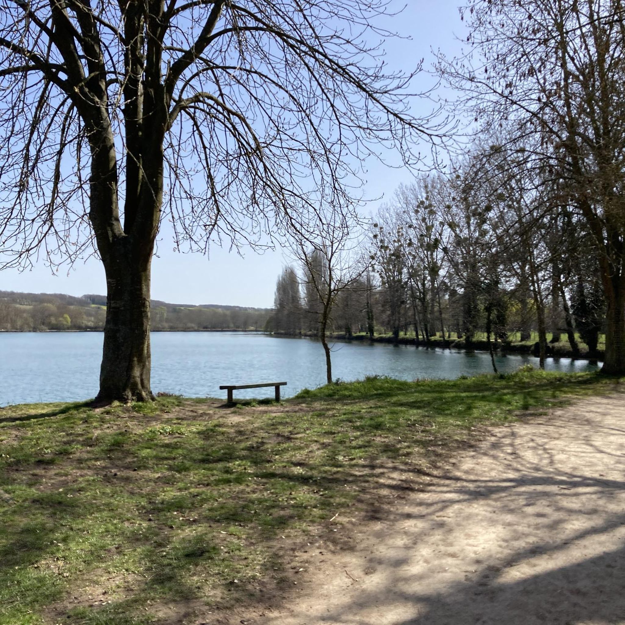
Very beautiful pond
0
0

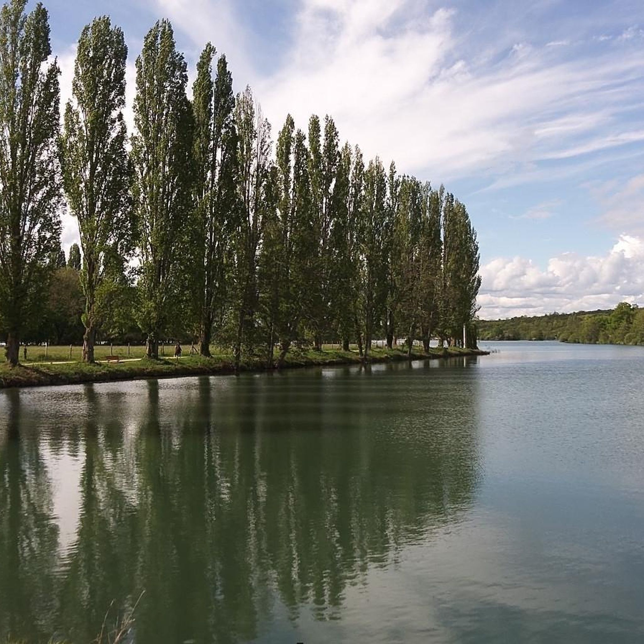
Just a stone's throw from Dreux, the Écluzelles lake stretches through the heart of a vast, protected natural area. Popular with windsurfers and paddleboarders, it offers a pleasant setting for strolling along its tranquil banks.
0
0

Abondant is located in the Eure Valley, in the immediate vicinity of the Dreux national forest and the important Château de Sourches, which was extensively transformed in the 19th century, and whose grounds were designed by the Duchênes. It appears that the extensive work carried out on the church in the 16th and 18th centuries was due to the generosity of this family. The current Saint-Pierre church succeeds a 12th-century building that was under the control of the canons of Saint-Étienne de Dreux and later the monks of Notre-Dame du Bec. Thanks to parish registers, the dates of its construction are precisely known: in 1508, the roof frame was raised; in 1516, construction continued thanks to donations from Pierre de Guerry, then lord of Abondant; in 1548, the erection of a 60-meter bell tower, which was topped with a cross in 1549. The dedication ceremony by the Bishop of Meaux did not take place until 1604. In the same year, a brotherhood of Charity was created under the patronage of Saint Sebastian and Saint Barbara, which remained
0
0
The Church of Saint-Pierre stands in the middle of the village, surrounded by the former cemetery area, which has been transformed into a grassy mound. On the north side, it is dominated by a large three-story stone bell tower. The western façade is preceded by a very rustic enclosed porch. The church consists of a single nave extended by a choir and a five-sided apse. The chapel, which occupies the base of the bell tower to the north, and the south chapel form a false transept. The church is built of flint rubble; the quoins, bands, cornices, and buttresses are made of sandstone. The interior of the building is covered with beautiful wainscoting, with battens, entirely redone based on the original layout above the nave. The radiating wainscoting of the apse is highlighted with a black geometric decoration painted on either side of the battens. The sculpted beams of the roof structure were preserved and placed on the new beams. The 18th-century waxed wooden high altar is decorated with a Crucifixion embroidered on fabric, possibly replacing a painting. The statues of Saint Peter and Saint Paul were placed in the niches to the left and right of the central altarpiece. The church has enclosed wooden pews that have been restored. When the pews were removed, gravestones were unearthed in the floor; they were photographed and drawn. A stone statue with a separated body and head was discovered in the thickness of a wall: it is Saint Peter wearing the papal tiara. During World War II, the bombing of a train stopped at the station destroyed the stained-glass windows, which were of varying value; however, one of them, dating from the 16th century, was listed. In 1948, the Bernard Campin workshop in Chartres was hired to renovate all the windows, in the style of the 1930s. Drainage work, masonry, timber framing, and roofing were carried out throughout the building, the most significant of which was the restoration of the paneled vault. The Sauvegarde de l'Art Français (French National Art Protection Agency) awarded €10,000 in grants in 2005.
0
0
Travel the Eure Valley from Montreuil to Fermaincourt for a scenic ride along quiet country roads. The route passes through charming villages, lush green meadows and peaceful stretches of the Eure River. You'll enjoy gentle slopes that make the ride enjoyable and relaxing, with plenty of places to stop and admire the picturesque countryside.
1
0

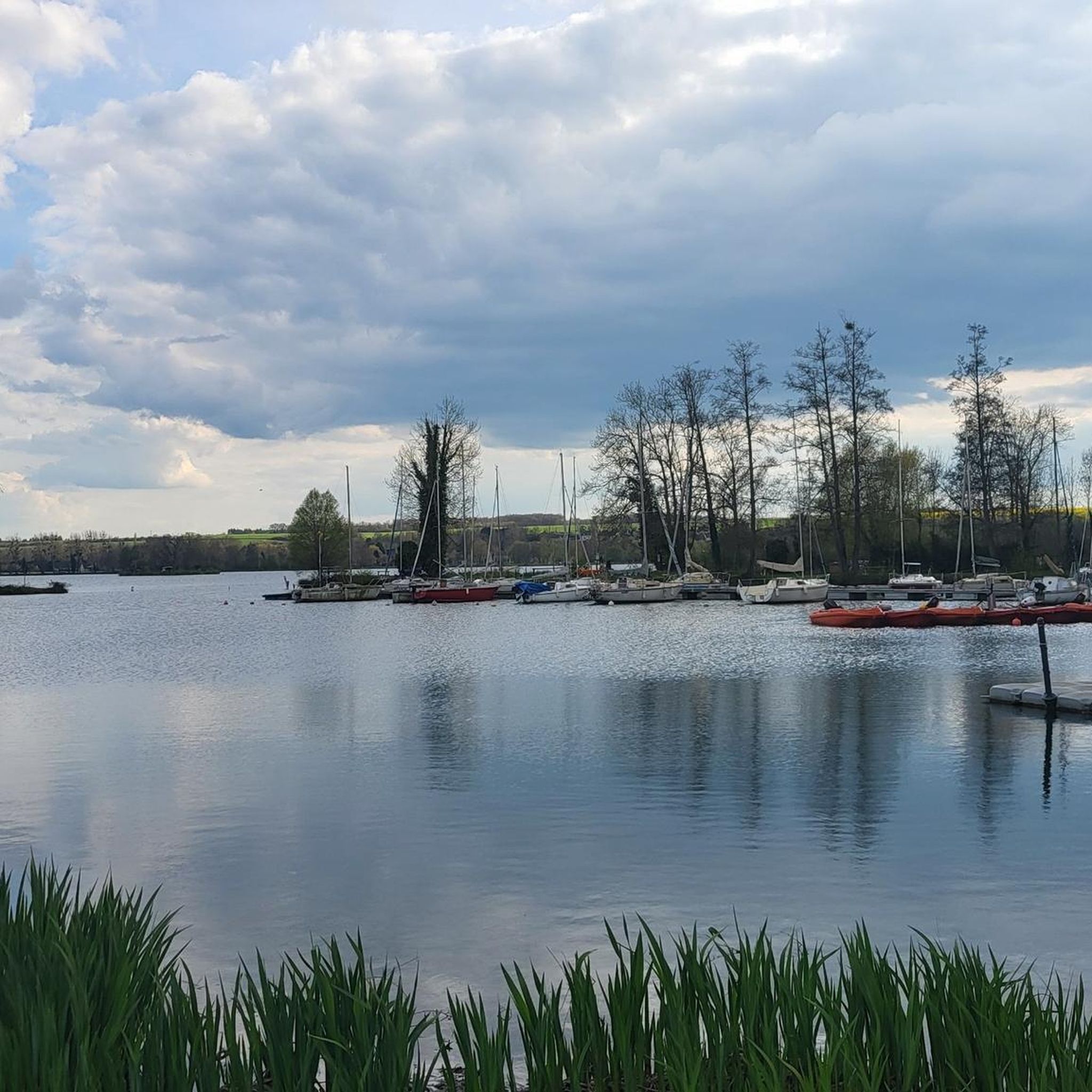
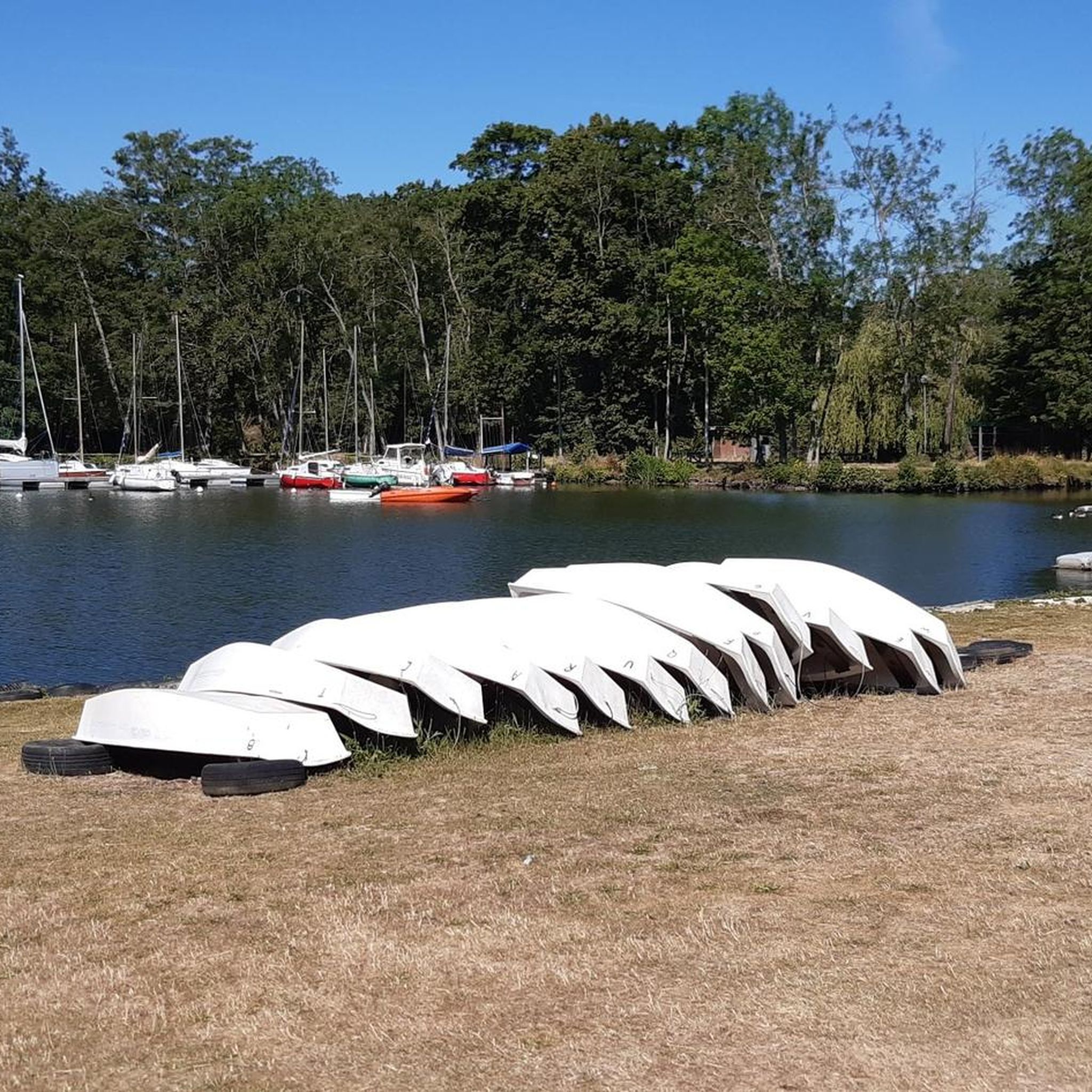
large bird reserve and nautical activities
0
0

mounted when entering Eure-et-Loir
0
0
Frequently Asked Questions
How many gravel bike trails are available around Plan D'Eau D'Ecluzelles?
There are over 7 gravel bike trails documented on komoot for the Plan D'Eau D'Ecluzelles area, offering a variety of experiences for different skill levels.
Are there any beginner-friendly gravel bike trails near Plan D'Eau D'Ecluzelles?
Yes, the region offers several accessible routes. For instance, the Plan d'eau d'Ecluzelles – CM departure loop from Sainte-Gemme-Moronval is an easy 8.6 km (5.4 miles) trail that circles the lake with minimal elevation gain, perfect for beginners or a relaxed ride.
What are the options for more advanced gravel bikers in the area?
Experienced riders can challenge themselves with longer and more demanding routes. The Walk in the Dreux Forest – Sorel Castle loop from La Pinède is a difficult 42.9 km (26.7 miles) path that explores the extensive Dreux Forest and passes historical landmarks, offering a significant workout.
Are there any circular gravel bike routes around Plan D'Eau D'Ecluzelles?
Many of the gravel routes in the area are designed as circular loops, allowing you to start and finish at the same point. A great example is the Moulin de la Bellassière – Fontaine les Ribouts loop from Vernouillet, a moderate 30.1 km (18.7 miles) ride through varied landscapes.
What kind of scenery can I expect on the gravel trails?
The gravel trails around Plan D'Eau D'Ecluzelles offer a diverse landscape, characterized by tranquil forests, open fields, and views of the lake itself. Many routes also pass by historical sites and quiet rural villages, providing a mix of natural beauty and cultural interest.
What is the best time of year for gravel biking around Plan D'Eau D'Ecluzelles?
Spring and autumn generally offer the most pleasant conditions for gravel biking, with mild temperatures and beautiful scenery. Summer can also be enjoyable, especially for early morning or late afternoon rides to avoid the midday heat. Winter conditions can vary, so checking local weather and trail reports is advisable.
Are there any long-distance gravel routes for a full day out?
Absolutely. For a longer adventure, consider the Cocherelle Dolmen – Avre Aqueduct loop from La Chênaie. This moderate 44.0 km (27.3 miles) route offers a substantial ride, taking you past interesting historical features like the Cocherelle Dolmen and the Avre Aqueduct.
What do other gravel bikers say about the trails in Plan D'Eau D'Ecluzelles?
The area is highly rated by the komoot community, with an average score of 4.2 stars from more than 5 reviews. Riders often praise the varied terrain, the peaceful rural settings, and the well-maintained paths that make for an enjoyable gravel biking experience.
Are there any historical landmarks or points of interest along the gravel routes?
Yes, several routes incorporate historical elements. For example, the Walk in the Dreux Forest – Sorel Castle loop from La Pinède passes by the historic Sorel Castle. Other trails lead through rural landscapes and past local churches, such as the Saint Peter's Church – Saint-Pierre Church of Abondant loop from Cherisy.
Is parking available near the gravel bike trails?
While specific parking details vary by starting point, many trailheads and villages in the Plan D'Eau D'Ecluzelles region offer public parking options. It's advisable to check the starting point of your chosen route on komoot for more precise parking information.
Are there places to stop for refreshments or food along the trails?
The routes often pass through or near small villages and towns where you can find local cafes, bakeries, or small shops for refreshments. Planning your route with potential stops in mind can enhance your gravel biking experience.
Most popular routes around Plan D'Eau D'Ecluzelles

Get inspired with the komoot mobile app


Explore more
Browse the best Gravel rides in other regions.
