The best walks and hikes around Guerfand
4.7
(7)
56
hikers
21
hikes
Hiking around Guerfand offers trails through the rural landscapes of the Saône-et-Loire department in Bourgogne-Franche-Comté, eastern France. The commune, with an average elevation of around 200 meters, features a mix of agricultural lands, forests, and small river valleys. These local hiking trails provide opportunities to explore the natural surroundings typical of the region.
Best hiking trails around Guerfand
- The most popular hiking route is Prairie des Malbazins – Bois de la Peurie loop from Lessard-en-Bresse, a 4.3 miles (6.9…
Last updated: July 5, 2026
4
hikers
Moderate hike. Good fitness required. Easily-accessible paths. Suitable for all skill levels.
5.0
(1)
4
hikers
10.3km
02:38
30m
30m
Moderate hike. Good fitness required. Easily-accessible paths. Suitable for all skill levels.

Sign up for free
3
hikers
5.31km
01:21
10m
10m
Easy hike. Great for any fitness level. Easily-accessible paths. Suitable for all skill levels.
4.0
(1)
5
hikers
5.60km
01:26
20m
20m
Easy hike. Great for any fitness level. Easily-accessible paths. Suitable for all skill levels.
5.0
(1)
6
hikers
6.62km
01:41
20m
20m
Easy hike. Great for any fitness level. Easily-accessible paths. Suitable for all skill levels.
Get access to more routes and recommendations from other explorers.
Sign up for free
Already have an account?
Our route recommendations are based on thousands of hikes, rides, and runs completed by other people on komoot.
Start today with a free account
Your next adventure awaits.
Login or Signup

Tips from the Community

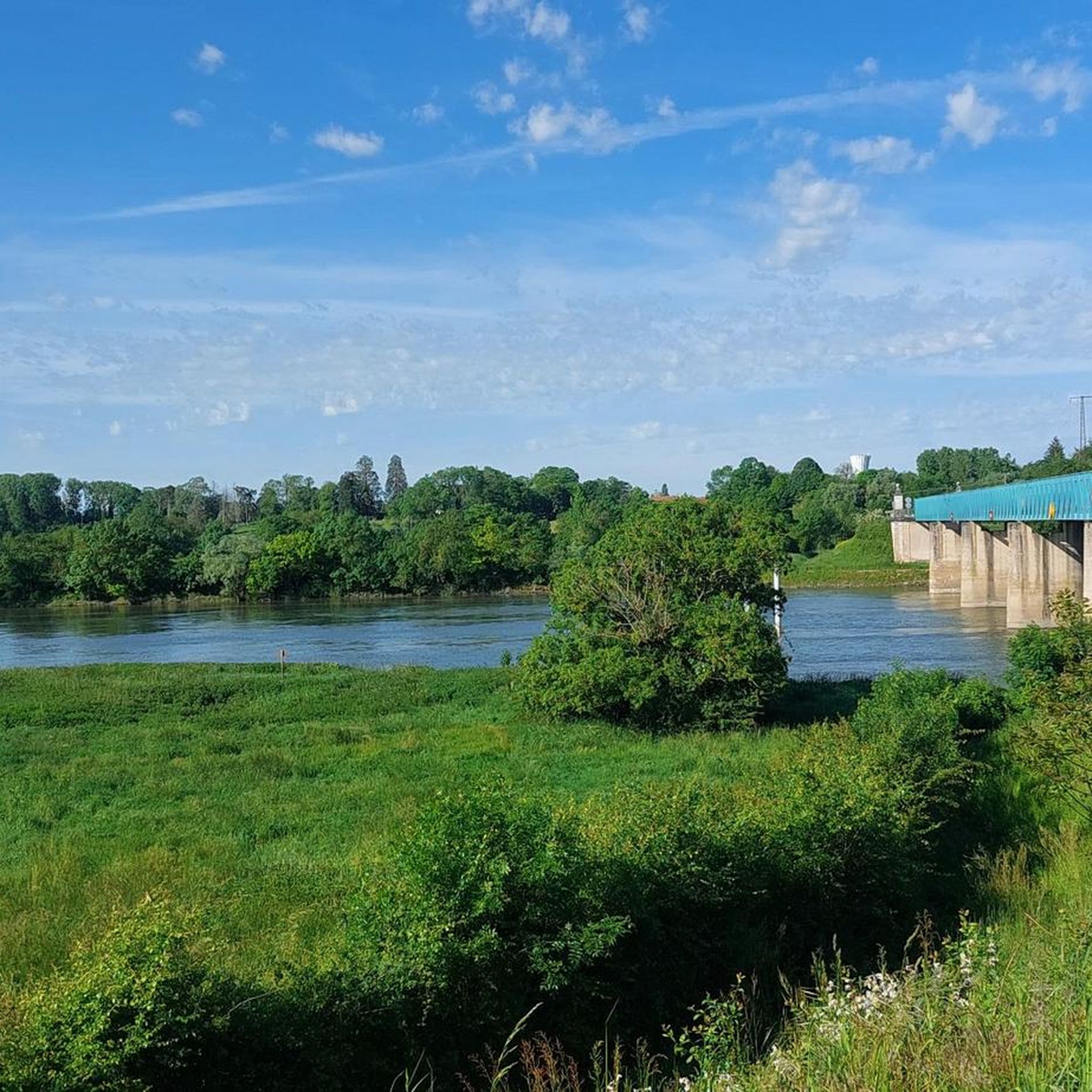
From the Voie Bressane greenway, there is a beautiful view of the circular brick tower, located north of the village. It is the last remaining structure of the Château de Saint-Germain.
0
0

Here you can beautifully see the roof decoration, which is common in France.
0
0

Storage? Look-out?? Residential???
0
0

Saint-Germain-du-Plain is the village which, coming from Chalon-sur-Saône, marks the entry into Bresse. It has a beautiful church as well as the remains of a fortified castle of which only one tower remains.
1
0
Frequently Asked Questions
How many hiking trails are available around Guerfand?
There are over 20 hiking trails around Guerfand, offering a variety of options for exploring the local landscape. These routes are primarily easy to moderate in difficulty.
What kind of terrain can I expect on hikes near Guerfand?
Hikes around Guerfand typically feature the rural landscapes of the Saône-et-Loire department. You can expect a mix of agricultural lands, forests, and small river valleys. The terrain is generally gentle, with an average elevation around 200 meters, making it accessible for various fitness levels.
Are there any easy hiking trails suitable for beginners or families?
Yes, Guerfand offers many easy trails. For instance, the Étang de Timon loop from Guerfand is an easy 5.6 km route that takes about 1 hour 25 minutes, leading through varied terrain around the Étang de Timon. Another great option is the Prairie des Malbazins – Bois de la Peurie loop from Lessard-en-Bresse, an easy 6.9 km trail exploring woodlands and open fields.
Are there any circular walks around Guerfand?
Many of the trails around Guerfand are designed as circular routes, allowing you to start and end at the same point. Examples include the Aire de picnic loop from Ouroux-sur-Saône, which offers views of the surrounding countryside, and the Étang du Coin loop from Lans.
What are some interesting places to see or landmarks along the trails?
While hiking around Guerfand, you can discover several points of interest. Consider visiting the Lake Park in Crissey for a peaceful stop, or explore the historical Church and Castle Tower of Saint-Germain-du-Plain. For those interested in cycling, the La Bressane Greenway is also nearby.
What do other hikers enjoy most about hiking in Guerfand?
The area is highly rated by the komoot community, with an average score of 4.7 stars from 7 reviews. Hikers often praise the peaceful rural landscapes, the mix of agricultural lands and forests, and the well-maintained paths that make for enjoyable walks.
Are the hiking trails around Guerfand suitable for dogs?
Given the rural nature of Guerfand and the Bourgogne-Franche-Comté region, many trails are generally dog-friendly. However, it's always advisable to keep dogs on a leash, especially when passing through agricultural areas or near livestock, and to respect local regulations regarding pets in natural spaces.
What is the best time of year to go hiking in Guerfand?
The best time to hike in Guerfand is typically during spring (April to June) and autumn (September to October). During these seasons, the weather is generally mild and pleasant, and the natural scenery is particularly beautiful with blooming flowers or vibrant fall foliage. Summer can also be enjoyable, but it's best to start early to avoid the midday heat.
Are there any moderate difficulty trails for more experienced hikers?
Yes, for those looking for a slightly longer or more challenging walk, there are moderate trails available. The Aire de picnic loop from Ouroux-sur-Saône is a moderate 10.2 km path that takes approximately 2 hours 36 minutes, offering expansive views of the surrounding countryside.
Is parking available at the trailheads in Guerfand?
While specific parking information for every trailhead is not always detailed, as a rural commune, Guerfand and its surrounding villages typically offer public parking options near central points or designated areas. It is generally possible to find parking close to the start of most routes.
How long do hikes around Guerfand typically take?
The duration of hikes around Guerfand varies depending on the route and your pace. Many easy trails, like the Étang de Timon loop from Guerfand, can be completed in about 1.5 to 2 hours. Moderate routes, such as the Aire de picnic loop from Ouroux-sur-Saône, may take around 2.5 to 3 hours.
Most popular attractions around Guerfand

Get inspired with the komoot mobile app


Explore more
Browse the best Hikes in other regions.
