The best walks and hikes around Saillenard
4.3
(12)
80
hikers
15
hikes
Hiking around Saillenard offers diverse landscapes in the Saône-et-Loire department of Burgundy-Franche-Comté, France. The region is characterized by a blend of natural beauty, featuring numerous ponds (étangs), forests, and rolling landscapes. The Seille River forms a significant natural feature, with trails often following its course through wetlands. This area provides accessible trails suitable for various levels of physical activity.
Best hiking trails around Saillenard
- The most popular hiking route is Lake view loop from Montagny-près-Louhans, a 5.0 miles (8.1…
Last updated: July 4, 2026
3.0
(2)
13
hikers
3.94km
01:01
30m
30m
Easy hike. Great for any fitness level. Easily-accessible paths. Suitable for all skill levels.
3.0
(1)
11
hikers
8.10km
02:06
50m
50m
Moderate hike. Good fitness required. Easily-accessible paths. Suitable for all skill levels.

Sign up for free
3
hikers
8.07km
02:03
10m
20m
Moderate hike. Good fitness required. Easily-accessible paths. Suitable for all skill levels.
3
hikers
3.83km
01:00
20m
20m
Easy hike. Great for any fitness level. Easily-accessible paths. Suitable for all skill levels.
5.0
(1)
7
hikers
8.82km
02:19
70m
70m
Moderate hike. Good fitness required. Easily-accessible paths. Suitable for all skill levels.
Get access to more routes and recommendations from other explorers.
Sign up for free
Already have an account?
Our route recommendations are based on thousands of hikes, rides, and runs completed by other people on komoot.
Start today with a free account
Your next adventure awaits.
Login or Signup


Frequently Asked Questions
What kind of landscape can I expect to see while hiking around Saillenard?
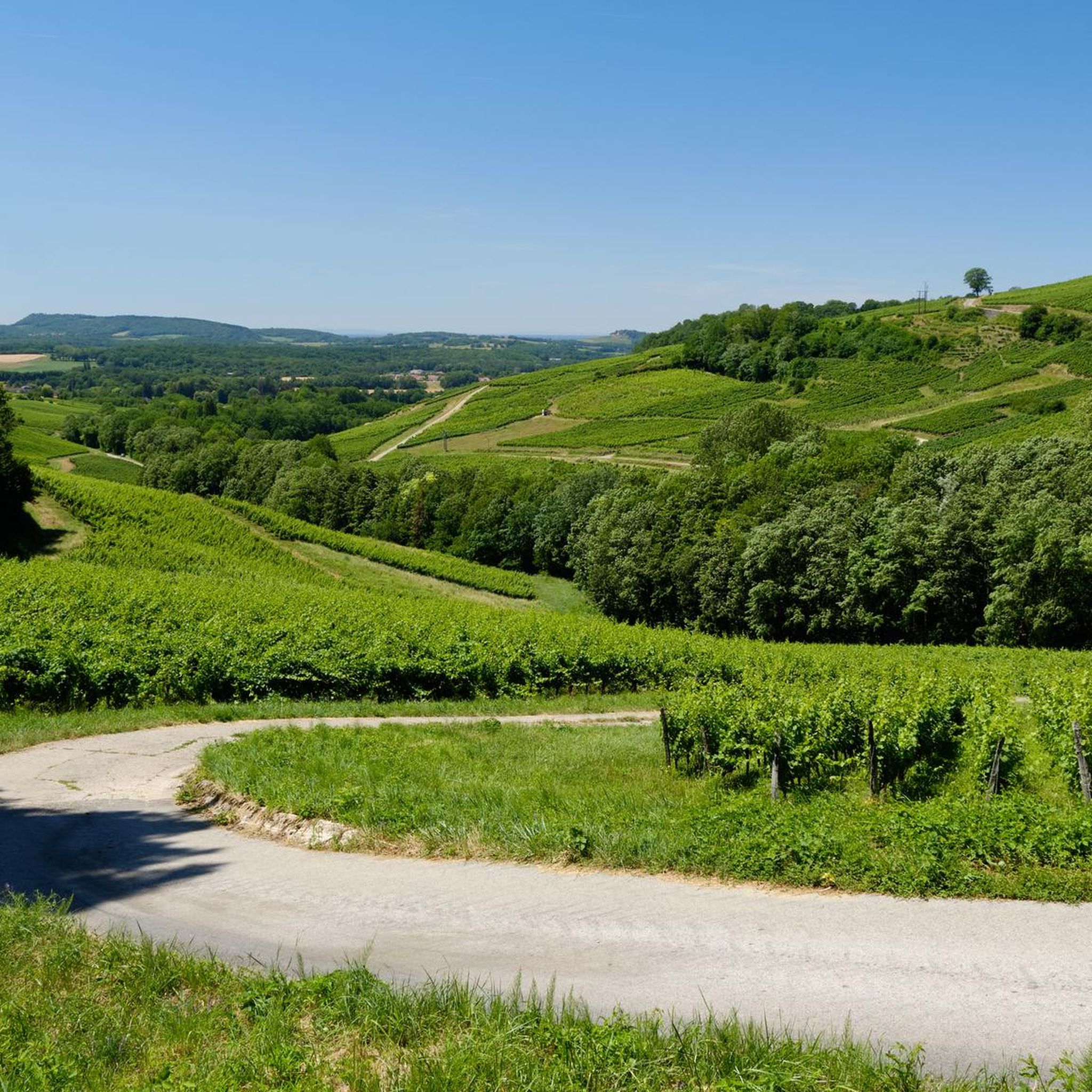
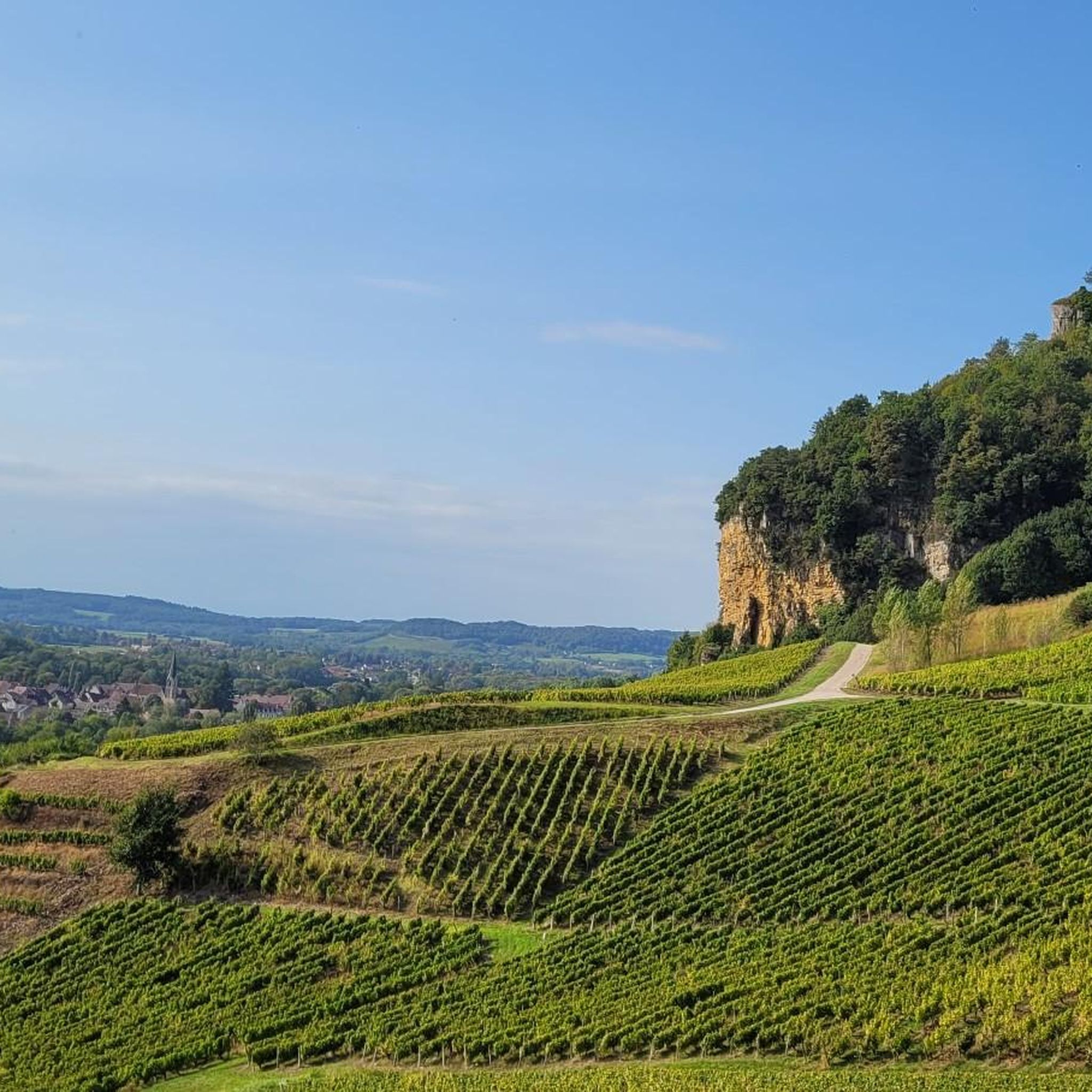
The Saillenard area is nestled within the Bresse Bourguignonne, characterized by its gentle, undulating plains, hedged farmland (bocage), and scattered woodlands. You'll encounter a tranquil, picturesque setting with meadows, traditional Bressan farmhouses, and an abundance of ponds and rivers, offering a true taste of rural France.
Are there many easy hiking trails suitable for beginners or families in Saillenard?
Yes, Saillenard offers a good selection of easy trails. Out of the 24 available routes, 16 are classified as easy. A great option for a relaxed walk is the Étang des Enragés loop from Saillenard, which is an easy 4.7 km path through the local pond landscape, typically taking just over an hour.
What natural features or landmarks can I expect to see on the trails?
The region is rich in natural beauty, particularly its waterways and ponds. You can explore the Étang des Enragés, or the Lac de Bletterans. The Étang Chanceveau in Saillenard itself offers a walking path where you can observe local flora and fauna like mallards, kingfishers, and geese. Many trails also wind through thick forests and hedged farmland, showcasing the characteristic Bressan landscape.
Are there any circular hiking routes available?
Yes, many of the trails around Saillenard are circular, allowing you to start and end at the same point. Examples include the Lake view loop from Montagny-près-Louhans, the Lac de Bletterans – Château Lecourbe loop from Bletterans, and the Étang des Enragés loop from Saillenard.
What do other hikers say about the trails in Saillenard?
The hiking trails around Saillenard are highly regarded by the komoot community, with an average rating of 4.6 stars from over 10 reviews. Hikers often praise the tranquil atmosphere, the picturesque pond landscapes, and the well-maintained paths that offer a pleasant experience for various fitness levels.
Is it possible to hike with dogs on the trails in Saillenard?
While many trails in rural France are dog-friendly, it's always advisable to keep your dog on a leash, especially when passing through farmland where livestock may be present, or near nature reserves to protect local wildlife. Specific rules for each trail are usually indicated at the trailhead.
What is the best time of year to go hiking in Saillenard?
The Bresse Bourguignonne region, including Saillenard, is beautiful throughout much of the year. Spring and autumn offer pleasant temperatures and vibrant scenery, with blooming wildflowers or colorful foliage. Summer is also suitable, though it's best to start early to avoid the midday heat. The prevalence of ponds and wetlands means the landscape remains lush.
Are there any hikes that offer particularly good views?
Many routes provide scenic views of the characteristic Bresse Bourguignonne landscape, with its gentle plains, hedged farmland, and numerous ponds. The Lake view loop from Montagny-près-Louhans and the Lake view loop from Ratte are specifically highlighted for their picturesque lake views.
How many hiking trails are available in the Saillenard area?
There are 24 hiking trails recorded around Saillenard on komoot, offering a variety of options for different preferences and fitness levels. These include 16 easy routes and 8 moderate routes.
Is there parking available near the trailheads in Saillenard?
In rural areas like Saillenard, parking is generally available in or near the village centers, or at designated starting points for popular trails. For specific routes, it's often possible to find roadside parking or small car parks near the main attractions like the Étang Chanceveau or other pond access points.
Can I reach hiking trails in Saillenard using public transport?
While Saillenard is a rural village, public transport options might be limited. It's advisable to check local bus schedules if you plan to rely on public transport to reach specific trailheads. Many hikers find it more convenient to travel by car to access the diverse network of trails throughout the Bresse Bourguignonne region.
Are there any cafes or places to eat near the hiking routes in Saillenard?
Saillenard, being a charming village, may have local establishments such as small cafes or restaurants where you can refuel after your hike. For a wider selection, nearby larger towns like Louhans offer more options for dining and refreshments.

Get inspired with the komoot mobile app


Explore more
Browse the best Hikes in other regions.
