The best gravel rides around Sainte-Eulalie
4.0
(3)
46
riders
8
rides
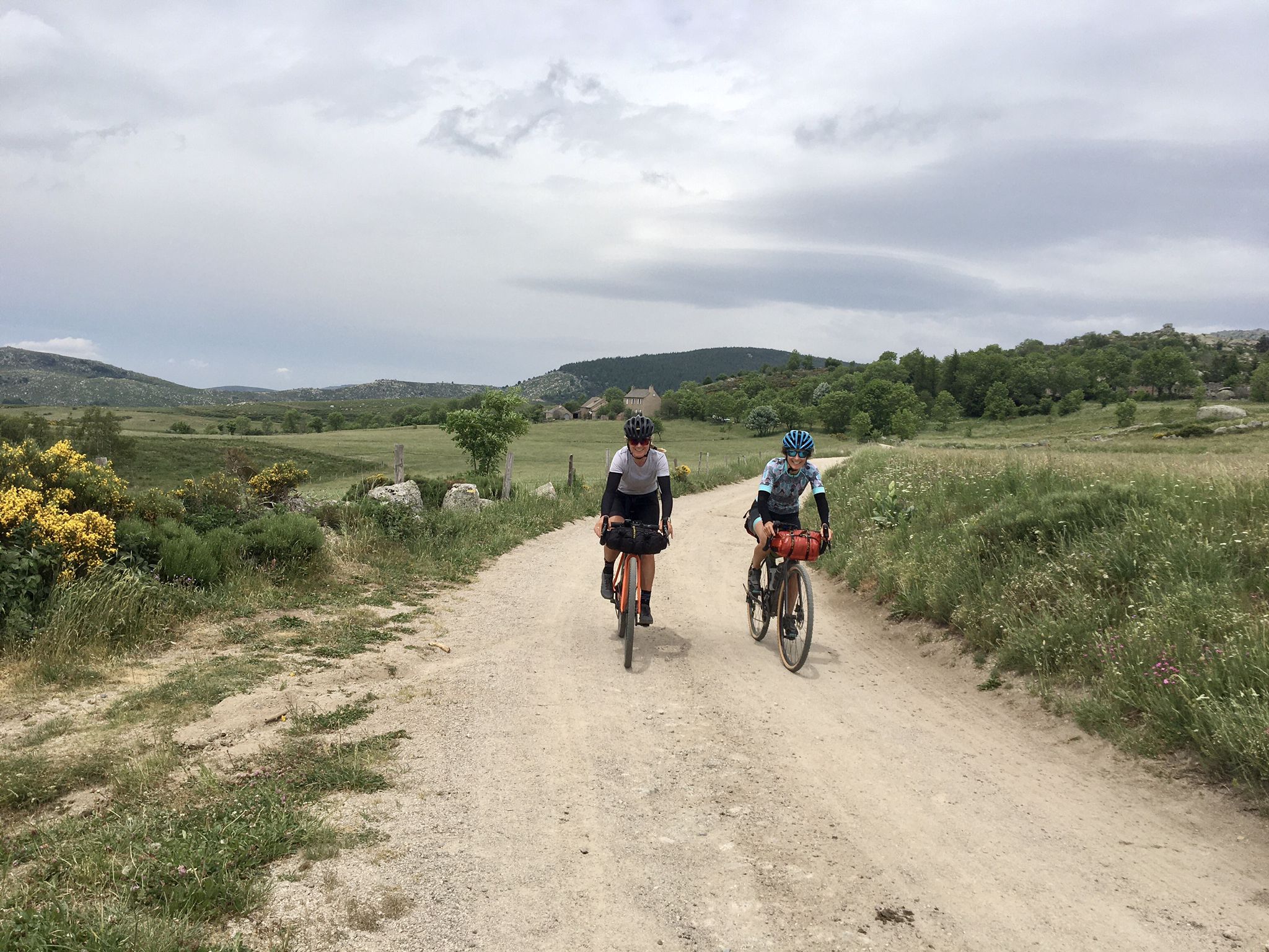
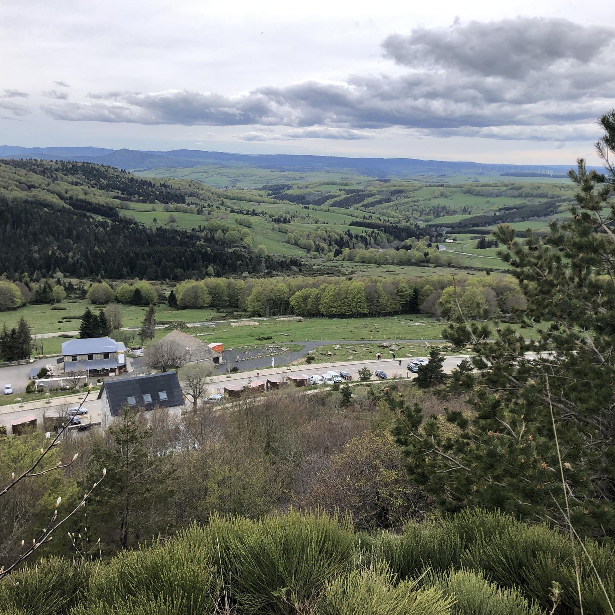
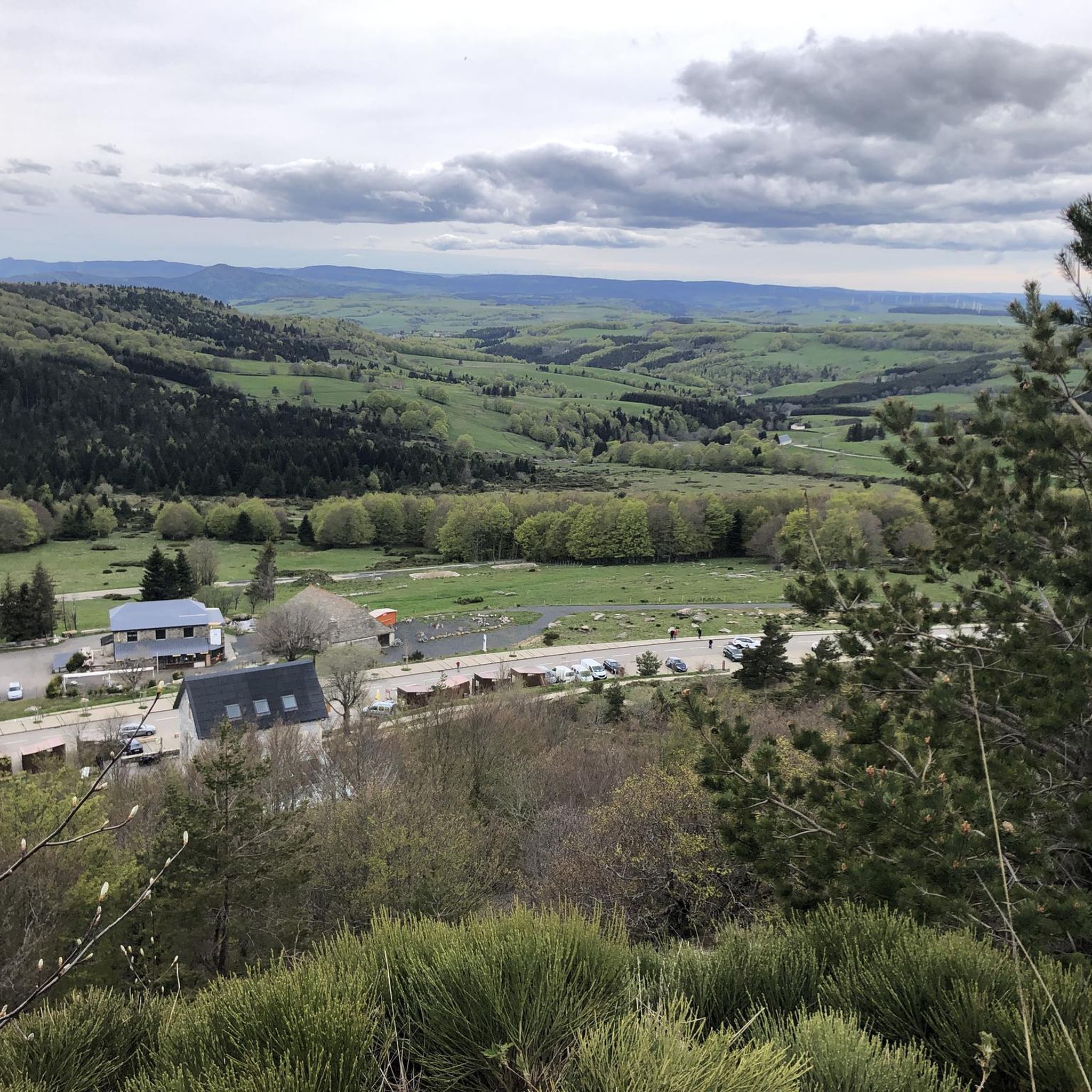
Gravel bike trails around Sainte-Eulalie traverse a mountainous landscape characterized by volcanic formations and high plateaus in the Ardèche region of France. The area features challenging ascents and descents, with routes often passing near the sources of the Loire River, such as Mont Gerbier de Jonc. This terrain provides varied surfaces suitable for gravel cycling, from forest paths to open, elevated tracks.
Best gravel bike trails around Sainte-Eulalie
- The most popular gravel bike trail is Col du Gerbier de Jonc…
Last updated: July 4, 2026
17
riders
118km
09:18
2,210m
2,210m
Hard gravel ride. Very good fitness required. Mostly paved surfaces. Suitable for all skill levels.
3
riders
39.4km
03:18
870m
880m
Hard gravel ride. Very good fitness required. Mostly paved surfaces. Suitable for all skill levels.

Sign up for free
5.0
(2)
9
riders
46.3km
03:32
1,220m
1,220m
Hard gravel ride. Very good fitness required. Mostly paved surfaces. Suitable for all skill levels.
5
riders
98.2km
07:27
2,090m
2,090m
Hard gravel ride. Very good fitness required. Mostly paved surfaces. Suitable for all skill levels.
2
riders
43.1km
03:05
940m
940m
Hard gravel ride. Very good fitness required. Mostly paved surfaces. Suitable for all skill levels.
Get access to more routes and recommendations from other explorers.
Sign up for free
Already have an account?
Our route recommendations are based on thousands of hikes, rides, and runs completed by other people on komoot.
Start today with a free account
Your next adventure awaits.
Login or Signup
Other adventures around Sainte-Eulalie

Tips from the Community


The source of the Loire, magnificent
0
0

These ruins once housed the Choisinets castle and orphanage. The construction of this unusual building spanned the entire second millennium. The ruins of two towers dating from the 12th and 17th centuries are still in good condition, testifying to the various architectural influences.
0
0

Market on Tuesdays (summer) and Saturdays
0
0
There we found the Meteil bread seller (a mixture of rye and sourdough) from the previous day's market in Costaros, under the market hall. Producers of fruit and vegetables, cheeses, and charcuterie. Everything for an ideal picnic.
0
0

pretty flowers, pretty trees, pretty views, but what more could you ask for...oh yes, a windbreaker, because the mistral makes his grandmother cold.
0
0
If you are a short person and you venture into the fields of erigeron, say goodbye to your family and friends... it is very likely that they will never see you again.
0
0
The cross is a bit ugly but it is not for it that we come to frolic in these green lands but rather for this landscape that would make a Caribou pale.
0
0
Frequently Asked Questions
How many gravel bike trails are available in Sainte-Eulalie?
There are 4 gravel bike routes available around Sainte-Eulalie on komoot. These trails are generally considered difficult, traversing a mountainous landscape with significant elevation changes.
What is the terrain like for gravel biking in Sainte-Eulalie?
The terrain around Sainte-Eulalie is characterized by volcanic formations and high plateaus in the Ardèche region of France. You can expect challenging ascents and descents, with varied surfaces from forest paths to open, elevated tracks. Some routes may require pushing your bike on certain segments due to the challenging terrain.
Are there any easy gravel bike routes for beginners or families?
The gravel routes listed for Sainte-Eulalie are all rated as difficult, featuring significant elevation gain and challenging terrain. There are currently no easy or moderate routes specifically for beginners or families listed in this guide. However, the region around Sainte-Eulalie-en-Born (a different location) offers flatter, more accessible cycling paths like the Vélodyssée, which might be suitable for gravel bikes and less experienced riders.
What natural landmarks can I see along the gravel trails in Sainte-Eulalie?
The trails offer views of several natural landmarks. You can encounter prominent peaks like South summit of Mont Mézenc and Mount Gerbier de Jonc, which is near the sources of the Loire River. The Col du Gerbier de Jonc – Boutières Cross Pass loop from Mont Gerbier de Jonc is one such route that explores this volcanic landscape.
Are there any waterfalls or lakes to visit on these routes?
Yes, you can find both a notable waterfall and a scenic lake. The Ray-Pic Waterfall is a significant natural monument in the area. Additionally, the Lac d’Issarlès is a beautiful crater lake, and the route Lac d’Issarlès – Bridge over the Loire loop from Le Lac-d'Issarlès circles this scenic body of water.
Can I find circular gravel routes in Sainte-Eulalie?
Yes, all the gravel routes in this guide are circular. Examples include the Col du Gerbier de Jonc – Boutières Cross Pass loop from Mont Gerbier de Jonc and the Lac d’Issarlès – Bridge over the Loire loop from Le Lac-d'Issarlès, offering varied distances and challenges.
What do other gravel bikers say about the trails in Sainte-Eulalie?
The gravel biking experience in Sainte-Eulalie is highly rated by the komoot community, with an average score of 5.0 stars. Users often praise the challenging climbs, the diverse volcanic landscape, and the long-distance options available through the high Ardèche mountains.
What is the best time of year for gravel biking in Sainte-Eulalie?
Given the mountainous and volcanic terrain, spring and autumn generally offer the most pleasant conditions for gravel biking, with cooler temperatures and vibrant scenery. Summer can be warm, especially on exposed plateaus, while winter may bring snow and ice, making some routes impassable or more challenging.
Are there options for long-distance gravel rides in Sainte-Eulalie?
Yes, Sainte-Eulalie offers options for long-distance gravel rides. For example, the Boutières Cross Pass – Col du Gerbier de Jonc loop from Borée is a substantial 72.4 miles (116.5 km) trail that takes approximately 10 hours 30 minutes to complete, leading through the high Ardèche mountains.
Are there any routes that offer views of volcanic landscapes?
Absolutely. The entire region is characterized by its volcanic formations. Routes like the Col du Gerbier de Jonc – Boutières Cross Pass loop from Mont Gerbier de Jonc specifically traverse this volcanic landscape, offering unique geological views and challenging terrain.
Are the gravel trails in Sainte-Eulalie suitable for advanced riders?
Yes, the gravel trails around Sainte-Eulalie are particularly well-suited for advanced riders. All routes in this guide are rated as difficult, featuring significant elevation gains and challenging terrain through mountainous and volcanic landscapes, providing a demanding experience for experienced cyclists.
Most popular routes around Sainte-Eulalie
Most popular attractions around Sainte-Eulalie

Get inspired with the komoot mobile app


Explore more
Browse the best Gravel rides in other regions.
