The best walks and hikes around Saint-Loup
4.8
(14)
45
hikers
10
hikes
Hiking around Saint-Loup offers diverse landscapes centered around the iconic Pic Saint-Loup, an isolated peak rising to 658 meters. The region is characterized by garrigue scrubland, limestone cliffs, and views extending over the Hérault plain and Buèges Valley. Natural features like the Source de Gornies and the Ravin des Arcs canyon provide varied terrain for outdoor activities.
Best hiking trails around Saint-Loup
- The most popular hiking route is Étang de Maray loop from Saint-Loup, a moderate 8.3 miles (13.4…
Last updated: July 4, 2026
4.6
(5)
15
hikers
10.8km
02:48
70m
70m
Moderate hike. Good fitness required. Easily-accessible paths. Suitable for all skill levels.
5.0
(2)
12
hikers
7.96km
02:07
80m
80m
Moderate hike. Good fitness required. Easily-accessible paths. Suitable for all skill levels.

Sign up for free
5.0
(3)
5
hikers
10.6km
02:43
40m
40m
Moderate hike. Good fitness required. Easily-accessible paths. Suitable for all skill levels.
5.0
(2)
5
hikers
13.4km
03:27
70m
70m
Moderate hike. Good fitness required. Easily-accessible paths. Suitable for all skill levels.
4.0
(1)
3
hikers
4.51km
01:12
50m
50m
Easy hike. Great for any fitness level. Easily-accessible paths. Suitable for all skill levels.
Get access to more routes and recommendations from other explorers.
Sign up for free
Already have an account?
Our route recommendations are based on thousands of hikes, rides, and runs completed by other people on komoot.
Start today with a free account
Your next adventure awaits.
Login or Signup
Popular around Saint-Loup
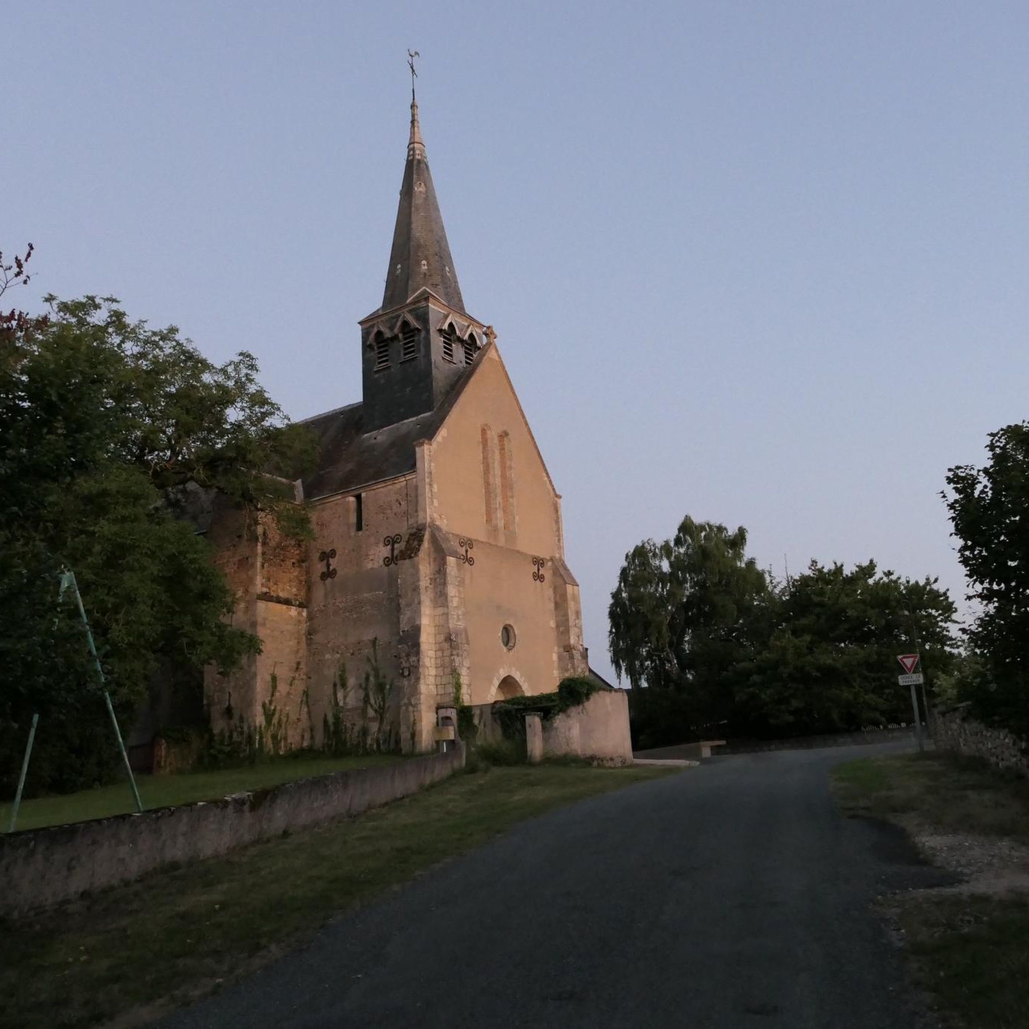
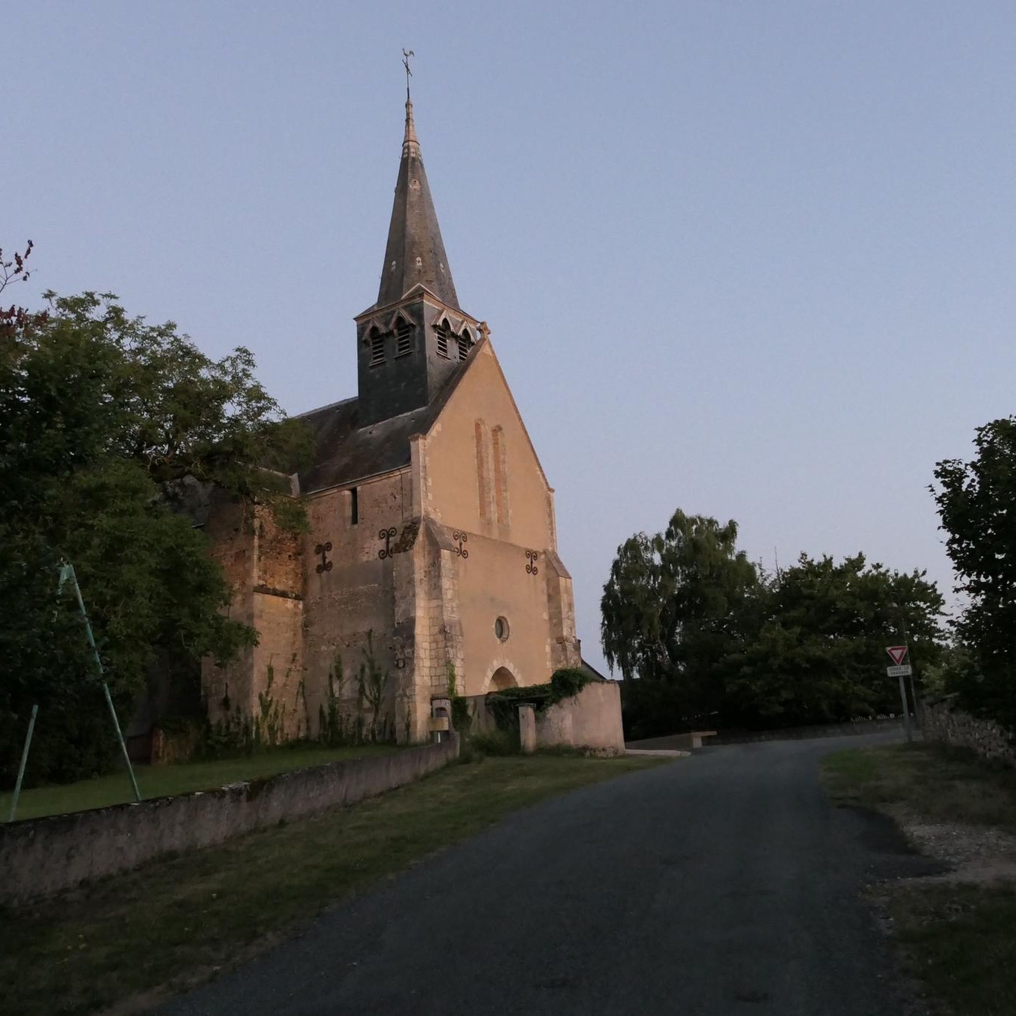
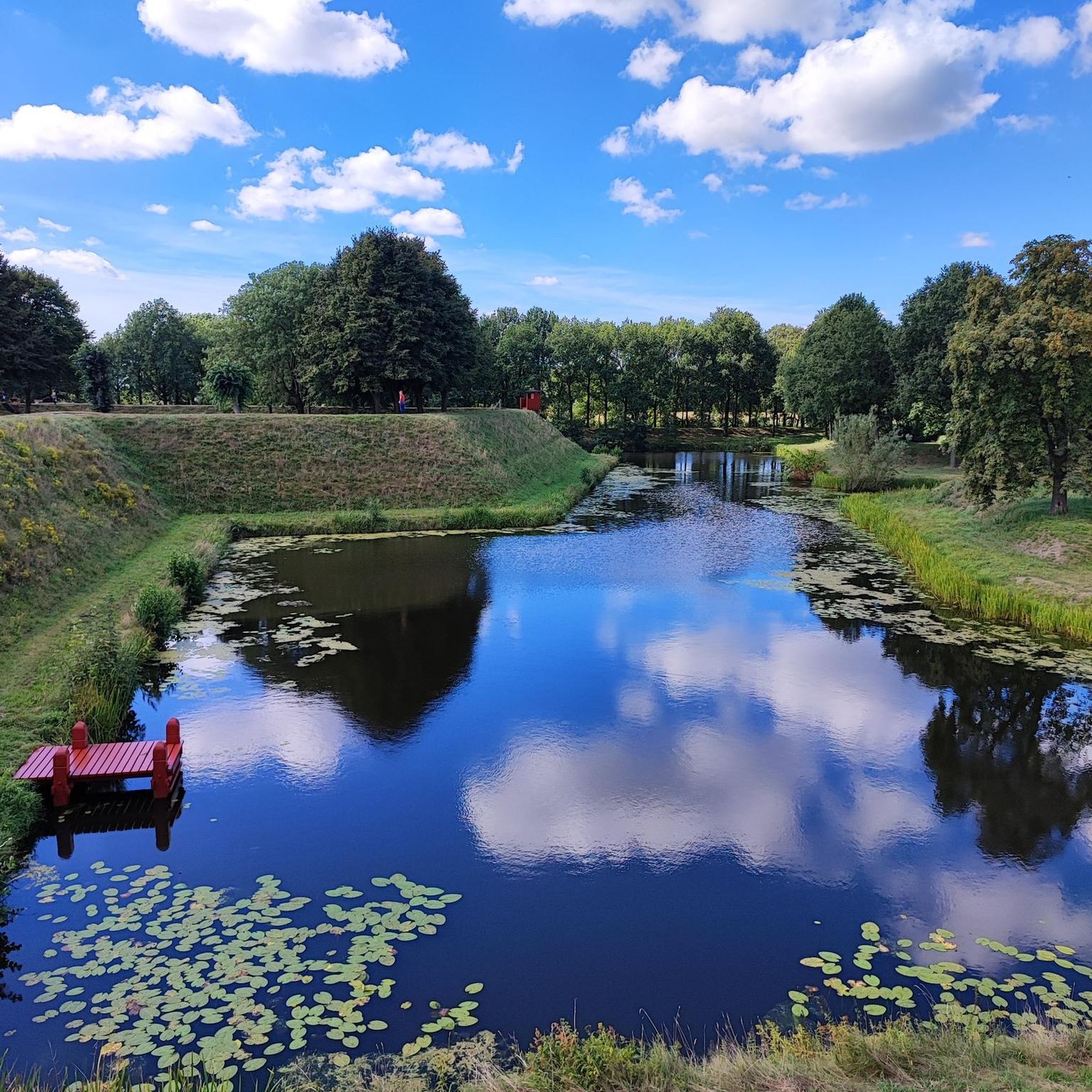
Tips from the Community

Pretty medieval village worth the detour!
0
0

Very beautiful little village
0
0


Frequently Asked Questions
What kind of terrain can I expect on hikes around Saint-Loup?
The region around Pic Saint-Loup offers diverse terrain. You'll encounter Mediterranean scrubland (garrigue), limestone cliffs, and oak forests. Trails can range from gentle paths through vineyards and agricultural areas to rocky ascents on the mountain itself. The landscape is rich in biodiversity and features impressive geological formations.
Are there easy hiking options suitable for beginners or casual walkers?
Yes, Saint-Loup offers several easy hikes. For instance, the Château de Rozay loop from Saint-Georges-sur-la-Prée is an easy 3.9-mile (6.3 km) trail that takes about 1 hour 41 minutes, leading through agricultural areas and past historical sites. Another easy option is a shorter Château de Rozay loop from Saint-Georges-sur-la-Prée, which is 2.8 miles (4.5 km).
What natural features or landmarks can I see while hiking in the Saint-Loup area?
The iconic Pic Saint-Loup mountain itself offers exceptional panoramic views. You can also explore the well-preserved remains of the medieval Château de Montferrand, perched on a rocky outcrop. Other natural highlights include the serene Lake of Cécélès, the Source de Gornies which can feature waterfalls, and the unique garrigue landscape with its aromatic Mediterranean vegetation.
Are there any circular hiking routes in Saint-Loup?
Yes, many routes in the area are circular. A popular moderate option is the Étang de Maray loop from Saint-Loup, an 8.3-mile (13.4 km) trail that takes around 3 hours 27 minutes, offering views of the local pond. Another is the Hiking loop from Mennetou-sur-Cher, a moderate 6.8-mile (10.9 km) path through rural landscapes.
What is the best time of year to go hiking in Saint-Loup?
The region is enjoyable for hiking throughout much of the year. Spring (March to May) brings blooming wildflowers and pleasant temperatures, while autumn (September to November) offers mild weather and beautiful colors. Summer can be hot, so early morning or late afternoon hikes are recommended, especially if you plan to explore the higher elevations of Pic Saint-Loup. Winter hiking is also possible, with cooler, crisp air.
Are there any trails suitable for families with children?
While specific family-friendly trails are not detailed, the region offers a range of difficulties. The easier, shorter loops through agricultural areas or around Lake of Cécélès would likely be suitable for families. The diverse landscapes and historical sites like Château de Montferrand can also add interest for children.
Can I bring my dog on the hiking trails in Saint-Loup?
The Saint-Loup region is generally welcoming to dogs on trails, especially in natural areas like the garrigue and forests. However, it's always advisable to keep dogs on a leash, particularly in areas with livestock, protected wildlife, or near cliffs. Please ensure you clean up after your pet to preserve the natural environment.
How long do hikes in Saint-Loup typically take?
Hike durations vary significantly depending on the route and your pace. Easy trails like the shorter Château de Rozay loop can be completed in under 2 hours. Moderate routes, such as the Étang de Maray loop, typically take around 3 to 3.5 hours. More challenging ascents to the Pic Saint-Loup summit can take longer, depending on the chosen path.
What are the general difficulty levels of hikes in the Saint-Loup area?
The Saint-Loup area offers a good mix of difficulty levels. There are 2 easy routes, 4 moderate routes, and 1 difficult route available. This means you can find everything from gentle walks through agricultural plains to more challenging ascents with rocky terrain and significant elevation changes, particularly on the northern face of Pic Saint-Loup.
Are there any options for public transport to reach hiking trailheads?
The region around Pic Saint-Loup is about 20-25 minutes from Montpellier. While specific public transport links directly to trailheads are not detailed, local bus services from Montpellier might connect to some of the villages surrounding the hiking areas. For detailed information on public transport, it's best to consult local transport authorities or the official tourism website for the Grand Pic Saint-Loup region: grandpicsaintloup-tourisme.fr.
What do other hikers enjoy most about hiking in Saint-Loup?
The area is highly rated by the komoot community, with an average score of 4.8 stars from over 9 reviews. Hikers often praise the diverse landscapes, from the iconic Pic Saint-Loup views to the tranquil garrigue and vineyards. The variety of trails catering to different fitness levels and the well-preserved natural environment are frequently highlighted.

Get inspired with the komoot mobile app


Explore more
Browse the best Hikes in other regions.
