The best walks and hikes around Saint-Vincent-En-Bresse
4.2
(65)
340
hikers
59
hikes
Hiking around Saint-Vincent-En-Bresse offers exploration of the Bressane landscapes in the Saône-et-Loire department of France. The region features a blend of woodlands, meadows, streams, and ponds, providing varied terrain for outdoor activities. Trails often traverse areas characterized by traditional Bressane houses and small bodies of water. The topography is generally gentle, with minimal elevation changes across most routes.
Best hiking trails around Saint-Vincent-En-Bresse
- The most popular hiking route is Étang du Bois loop from Baudrières, a 4.3 miles (6.9…
Last updated: July 4, 2026
3.0
(1)
7
hikers
6.93km
01:48
40m
40m
Easy hike. Great for any fitness level. Easily-accessible paths. Suitable for all skill levels.
4.2
(5)
5
hikers
6.01km
01:33
30m
30m
Easy hike. Great for any fitness level. Easily-accessible paths. Suitable for all skill levels.

Sign up for free
5.0
(2)
4
hikers
7.73km
02:00
40m
40m
Easy hike. Great for any fitness level. Easily-accessible paths. Suitable for all skill levels.
5.0
(1)
4
hikers
6.97km
01:48
40m
40m
Easy hike. Great for any fitness level. Easily-accessible paths. Suitable for all skill levels.
4.0
(1)
3
hikers
9.33km
02:23
40m
40m
Moderate hike. Good fitness required. Easily-accessible paths. Suitable for all skill levels.
Get access to more routes and recommendations from other explorers.
Sign up for free
Already have an account?
Our route recommendations are based on thousands of hikes, rides, and runs completed by other people on komoot.
Start today with a free account
Your next adventure awaits.
Login or Signup

Tips from the Community

The Bresse route, which follows a former railway line converted into a cycle path, is accessible to all cyclists. The Bresse region is known, among other things, for its rural landscapes, its unspoiled countryside, its pretty villages, and its famous white chickens with blue feet.
2
0


incredible Voie Bressane de Branges in lons le saunier, easy for everyone and for all ages, very good condition, nature and beautiful landscapes
2
0
Frequently Asked Questions
How many hiking trails are available around Saint-Vincent-En-Bresse?
There are over 60 hiking routes in the Saint-Vincent-En-Bresse area, offering a variety of options for exploring the Bressane landscapes. Most of these are easy to moderate, with 45 easy routes and 18 moderate routes.
What kind of landscapes can I expect to see while hiking in Saint-Vincent-En-Bresse?
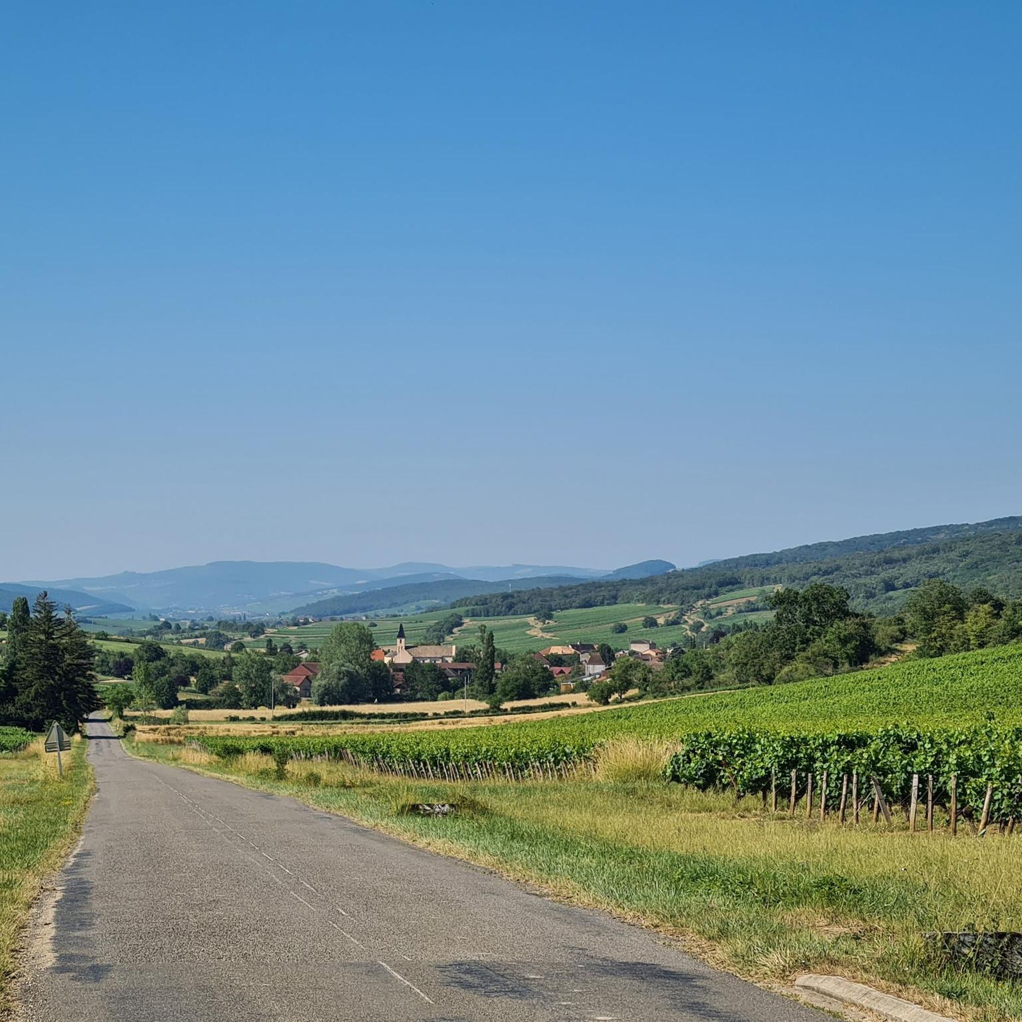
Hikers in Saint-Vincent-En-Bresse will experience harmonious Bressane landscapes characterized by a mix of woodlands, tranquil meadows, and numerous streams and ponds. The diverse environment provides picturesque views and varied terrain.
Are there any circular hiking routes in the region?
Yes, many of the trails around Saint-Vincent-En-Bresse are circular. For example, you can enjoy the easy Étang du Bois loop from Baudrières, which explores local ponds, or the Voie Bressane loop from Le Cours Guilme, offering views of the countryside.
What is the general difficulty level of hikes in Saint-Vincent-En-Bresse?
The hiking trails in Saint-Vincent-En-Bresse are predominantly easy to moderate. The topography is generally gentle, with minimal elevation changes, making the area accessible for various fitness levels. There are no difficult routes recorded in the immediate vicinity.
What are some interesting landmarks or historical sites to see along the trails?
While hiking, you might encounter traditional Bressane houses. The region research mentions the 'Maison Forte' in the hamlet of Tenarre and an 11th-century church with a stone bell tower, both found along the longer Circuit de Baudrières. The Étang du Moulin du Roi loop from Simandre passes through Simandre, known for its Romanesque church with a lava stone roof.
Are there any family-friendly hiking options?
Yes, the prevalence of easy routes makes Saint-Vincent-En-Bresse suitable for families. Trails like the Étang du Bois loop from Baudrières (6.9 km, 1h 48m) are relatively short and have minimal elevation, perfect for a family outing.
What do other hikers enjoy most about the trails in Saint-Vincent-En-Bresse?
The area is highly rated by the komoot community, with an average score of 4.2 stars from over 60 reviews. Hikers often praise the tranquil Bressane landscapes, the peaceful atmosphere around the numerous ponds, and the well-maintained paths that are suitable for various abilities.
Are there any trails that feature water bodies or natural sites for leisure?
Many trails in Saint-Vincent-En-Bresse pass by ponds and streams. The Circuit de Baudrières, for instance, includes the Verne site, which features a body of water suitable for fishing and leisure activities. The Étang des Couleuvres – Bois Berton loop from Juif also leads through woodlands and past ponds.
What is the longest moderate hike available?
The longest moderate hike is the Mare Michelet – Étang du Moulin loop from Simandre. This route covers 9.3 kilometers and typically takes about 2 hours and 23 minutes to complete.
Are there any specific trails that offer views of the Bressane countryside?
Yes, the Voie Bressane loop from Le Cours Guilme is an easy 6.0 km path specifically designed to offer scenic views of the Bressane countryside with minimal elevation gain, making it a pleasant option for enjoying the regional landscape.
What are some nearby attractions I can visit after a hike?
After your hike, you might consider visiting the Château de l'Épervière. For those interested in cycling, there are several greenways and cycle paths nearby, such as the Voie Bressane or the Cycle Path along the Saône.
Most popular routes around Saint-Vincent-En-Bresse
Most popular attractions around Saint-Vincent-En-Bresse

Get inspired with the komoot mobile app


Explore more
Browse the best Hikes in other regions.
