The best gravel rides around Dompierre-Les-Ormes
1.0
(1)
19
riders
5
rides
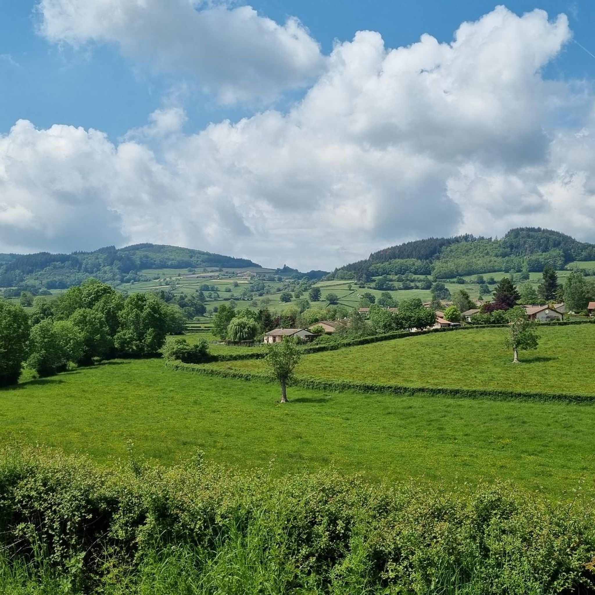
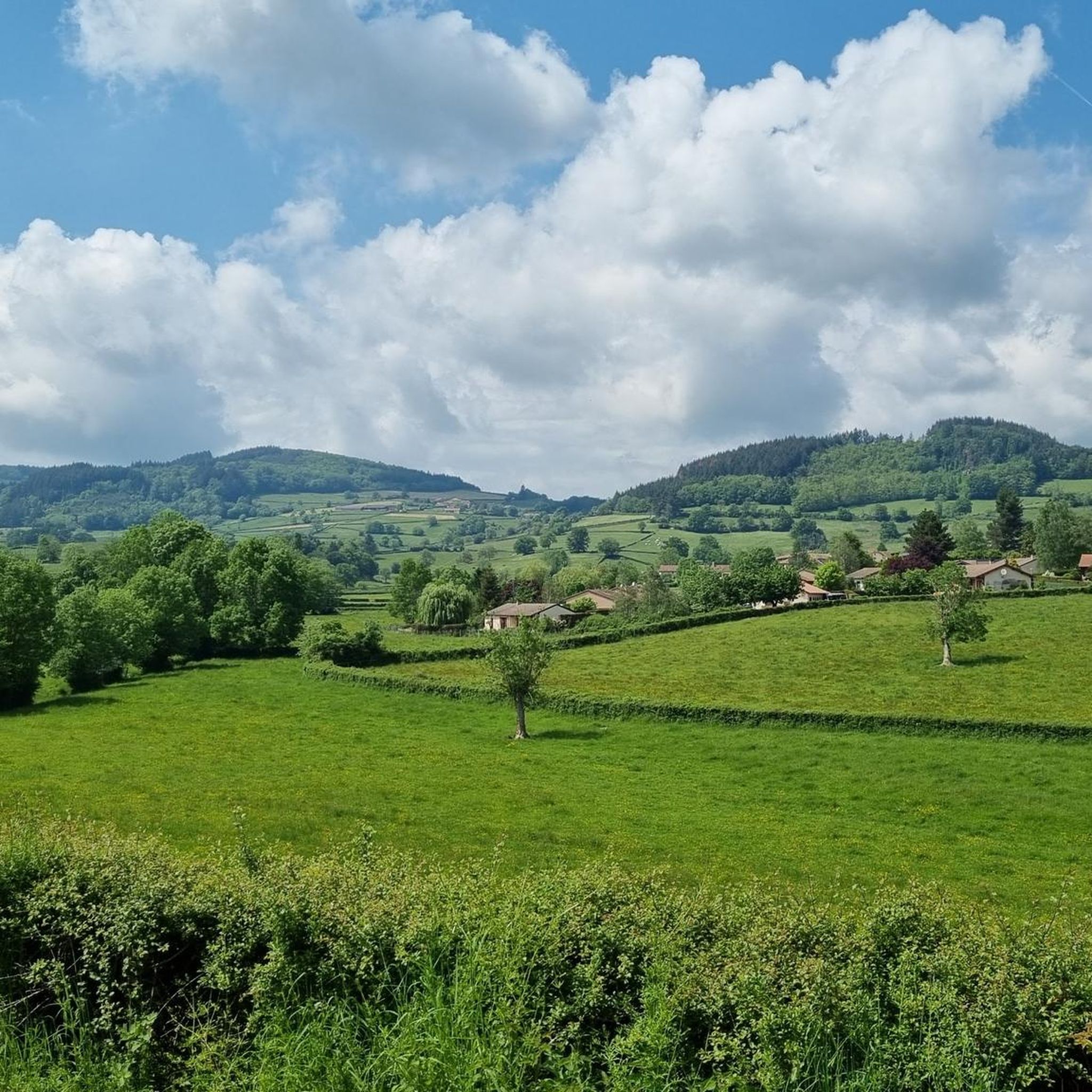
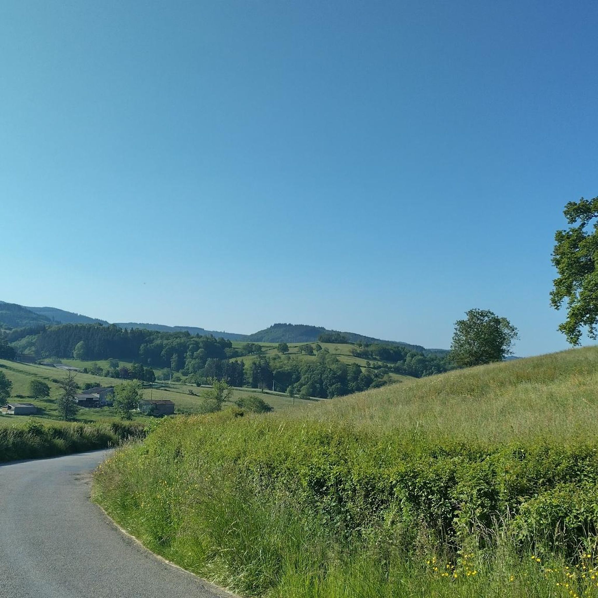
Gravel biking around Dompierre-les-Ormes offers diverse terrain at the crossroads of the Charolais and Mâconnais regions. The landscape features a mix of "little mountains" crowded with forests and pastures, alongside a distinctive bocage landscape of woodlands and fields. Cyclists can expect varied surfaces, including paved roads, unpaved paths, and stony sections. This topography provides a range of challenges and scenic routes for gravel bike enthusiasts.
Best gravel bike trails around Dompierre-Les-Ormes
- The most popular gravel bike trail is Cluny –…
Last updated: July 3, 2026
12
riders
70.7km
06:07
1,500m
1,500m
Hard gravel ride. Very good fitness required. Mostly paved surfaces. Suitable for all skill levels.
2
riders
22.4km
01:30
390m
390m
Moderate gravel ride. Good fitness required. Mostly paved surfaces. Suitable for all skill levels.

Sign up for free
1.0
(1)
1
riders
25.1km
01:47
490m
490m
Hard gravel ride. Very good fitness required. Mostly paved surfaces. Suitable for all skill levels.
1
riders
31.2km
02:06
480m
480m
Hard gravel ride. Very good fitness required. Mostly paved surfaces. Suitable for all skill levels.
2
riders
42.8km
03:13
1,010m
1,010m
Hard gravel ride. Very good fitness required. Mostly paved surfaces. Suitable for all skill levels.
Our route recommendations are based on thousands of hikes, rides, and runs completed by other people on komoot.
Start today with a free account
Your next adventure awaits.
Login or Signup
Tips from the Community

The Rock of Solutré is a world-famous, 493-meter-high limestone rock in the south of the Burgundy region. It is located amidst the picturesque vineyards of the municipality of Solutré-Pouilly. The region is officially designated as a Grand Site de France. The hike to the summit is easy to moderate and very doable for families. It takes about 1 hour for the entire loop (approx. 4 kilometers round trip). The elevation gain is around 100 to 140 meters from the official parking lot on well-maintained paths with information panels, although there are many steps.
1
0
The Château de Saint-Point (also known as Château de Lamartine) in the Burgundy region originally dates from the 12th and 14th centuries. From 1820, it served as the residence for the famous French poet and politician Alphonse de Lamartine. Lamartine had the castle restored in the Anglo-Gothic style, which gives it its distinctive, romantic appearance with the round corner towers. It is a listed monument and can be visited as a museum.
1
0
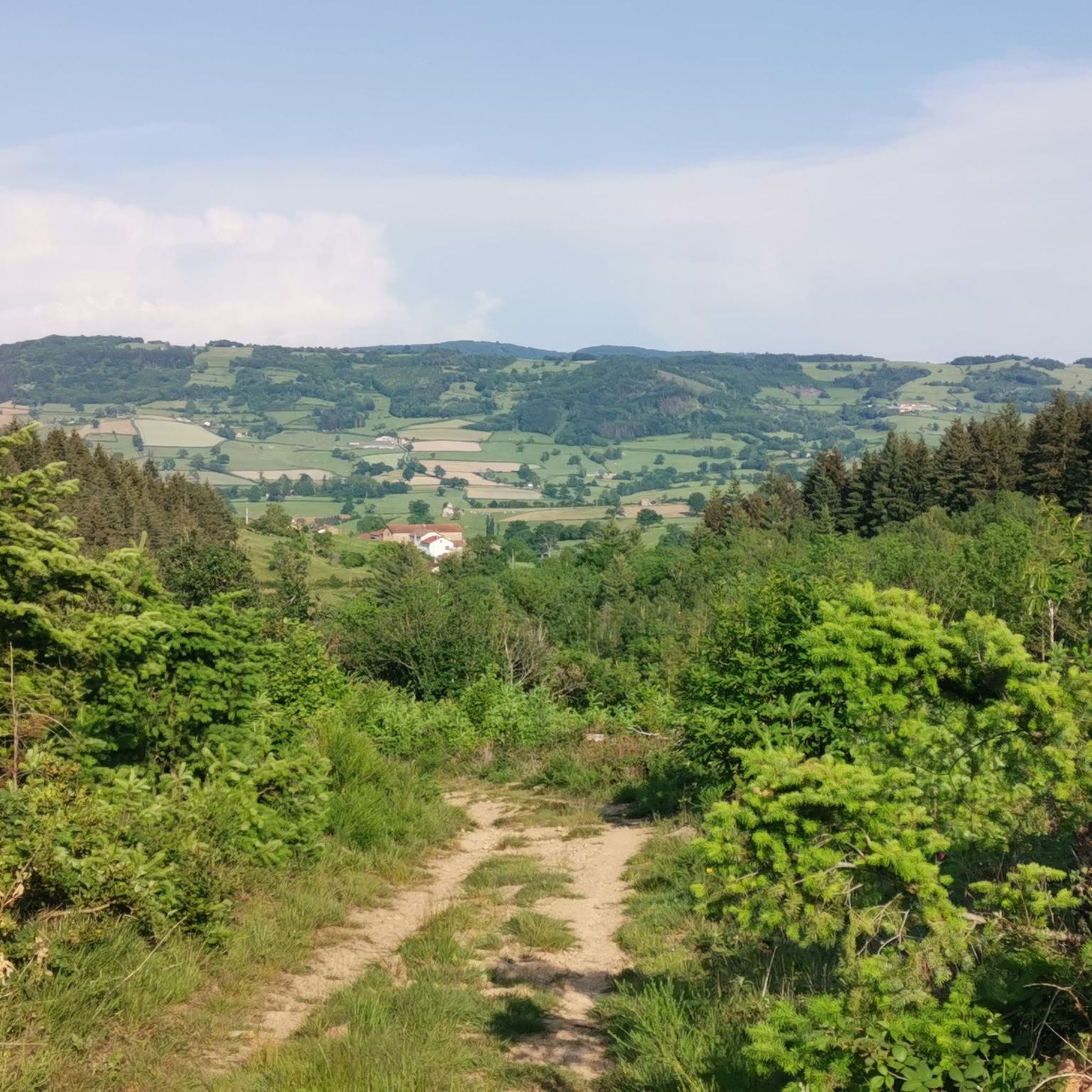
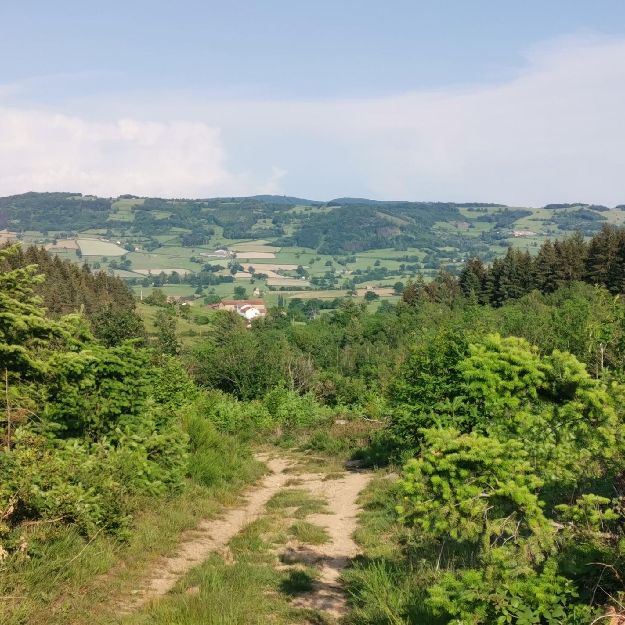
Great landscape panorama at Bois Berthaud, a popular nature and hiking area in Burgundy (France), located in the hills of the Mâconnais or Beaujolais region. The area is characterized by vast, green hill ranges, calf and cow pastures, as well as wooded sections. From the ridges around Bois Berthaud, there is a sweeping panoramic view of the surrounding countryside.
1
0
The lake is located in the Doubs department in the French region of Bourgogne-Franche-Comté at an altitude of around 850 meters. After Lac du Bourget and Lac d'Annecy, it is the third largest natural lake in France. It is a very popular lake for swimming in the summer and offers opportunities for kayaking, windsurfing, and stand-up paddling. There is also a popular hiking trail around the entire lake, approximately 20 kilometers long.
1
0
The former Cluny-Chalon-sur-Saône railway line has been decommissioned. The old station grounds now serve as the central bus stop ("Cluny Gare") for regional buses. Lines 701 and 709 of the Mobigo network connect the town to the TGV station in Mâcon in about 30 minutes. Directly at the old station runs the Voie Verte (an asphalted railway path cycle route). There is a large e-bike and bicycle rental service on site for tourists.
1
0
The Château de Berzé-le-Châtel (also known as Forteresse de Berzé) is the largest and best-preserved medieval castle in southern Burgundy. The site dates back to a 10th-century castrum and was strategically built on a rocky outcrop to protect the nearby powerful Abbey of Cluny. The fortress consists of three concentric walls and features 13 towers (including two keeps/donjons) as well as an imposing gatehouse. The heart inside is a remarkable Carolingian chapel.
1
0
The Château de Berzé-le-Châtel (also Forteresse de Berzé) is the largest and best-preserved medieval castle in Southern Burgundy. The complex dates back to a 10th-century castrum and was strategically built on a rocky outcrop to protect the nearby powerful Abbey of Cluny. The fortress consists of three ring walls and has 13 towers (including two keeps/donjons) as well as an imposing gatehouse. The centerpiece inside is a remarkable Carolingian chapel.
0
0
The Col des Enceints is a mountain pass in the French region of Bourgogne-Franche-Comté (Département Saône-et-Loire) with a summit elevation of 529 meters. The pass is located in the Mâconnais mountains (Monts du Mâconnais) near the municipality of Bourgvilain. It is a popular route, especially among cyclists and hikers: For cyclists: The ascent from Pierreclos extends over approximately 4.3 kilometers with an elevation difference of about 257 meters and an average gradient of just under 6% (up to 12% at its steepest). For hikers: A moderate, approximately 8.5-kilometer circular hiking trail from Bourgvilain leads over the pass, among other routes, passing through forests and past small hamlets.
1
0
Frequently Asked Questions
What kind of terrain can I expect on gravel bike trails around Dompierre-les-Ormes?
The region offers a diverse landscape, characterized by "little mountains" crowded with forests and pastures, and a distinctive bocage landscape of woodlands and fields. You'll encounter a mix of surfaces, including paved roads, unpaved paths, and stony sections. Routes are often described as "half path, half road," providing a varied and engaging experience for gravel bikers.
Are there gravel bike trails suitable for different skill levels?
Yes, the Dompierre-les-Ormes area caters to a range of abilities. While many routes are rated as difficult, there are also moderate options available. For example, the Route de Montmelard loop from Dompierre-les-Ormes is a moderate 7.2-mile (11.6 km) path exploring the immediate surroundings.
How many gravel bike trails are available in the Dompierre-les-Ormes area?
There are 7 gravel bike trails documented in this guide for the Dompierre-les-Ormes region. These routes offer a variety of distances and difficulties, showcasing the area's diverse terrain.
What are some notable viewpoints or natural features accessible by gravel bike?
You can find several rewarding spots. The Mont Saint-Cyr, the highest point in the Mâconnais mountains, offers panoramic 360-degree views. The Mount St. Cyr is a significant landmark. Additionally, the Arboretum de Pézanin is a beautiful area with 400 species of trees and a 5-hectare pond, perfect for serene exploration. The Lake Saint-Point is also a picturesque natural feature you might encounter on routes like the Berthaud Wood – Lake Saint-Point loop from Tramayes.
Are there any long-distance gravel cycling options in the region?
Yes, for those seeking a longer challenge, the Cluny – Voie verte of Southern Burgundy loop from Mâcon is a substantial 61.6-mile (99.1 km) trail. This route features significant elevation gain and connects to the region's greenway network, offering an extensive gravel biking experience.
Are there circular gravel bike trails available around Dompierre-les-Ormes?
Yes, many of the gravel routes in the area are designed as loops, allowing you to start and end in the same location. Examples include the Route de Montmelard loop from Dompierre-les-Ormes and the Berthaud Wood – Lake Saint-Point loop from Tramayes.
What is the best time of year for gravel biking in Dompierre-les-Ormes?
The region is beautiful throughout the year, but spring and autumn offer particularly scenic experiences. In spring, the rhododendrons in areas like the Arboretum de Pézanin create a vibrant display. Autumn brings a spectacular array of colors to the forests and bocage landscapes, making it an ideal time for cycling. Be mindful of potential mud conditions during wetter periods.
Are there any family-friendly gravel bike trails?
While many routes feature challenging terrain, some sections of the broader Saône-et-Loire cycling network, such as the "Voie Verte" (Greenway), are generally flatter and more suitable for families. For specific gravel trails, consider routes with less elevation and smoother unpaved sections. The Route de Montmelard loop from Dompierre-les-Ormes is a moderate option that explores local roads and paths.
What do other gravel bikers enjoy most about the Dompierre-les-Ormes area?
The area is highly rated by the komoot community, with an average score of 1.0 stars based on 2 ratings. Reviewers often praise the varied terrain, which includes a mix of forests, pastures, and rolling hills, providing both scenic beauty and engaging challenges. The presence of both paved and unpaved sections, including stony paths, is frequently highlighted as a key feature.
Are there any historical landmarks or points of interest along the gravel routes?
Yes, the region is dotted with interesting sites. You might encounter the Dovecote of Château de Drée – Drée Castle loop from Gibles, which passes by a historical castle. Another route, the Saint-Blaise Romanesque church loop from Mazille, takes you past a significant Romanesque church, offering a glimpse into the local heritage.
Is there public transport available that accommodates bikes to reach the trails?
While specific public transport options directly to trailheads with bike accommodation might be limited, the region is part of the broader Saône-et-Loire cycling network, which includes the "Voie Verte." For detailed information on public transport services that allow bikes, it's advisable to check local transport provider websites for routes serving Dompierre-les-Ormes and surrounding villages.
Where can I find parking facilities for gravel biking in Dompierre-les-Ormes?
Dompierre-les-Ormes is a village with a focus on outdoor activities, so you can typically find parking in or near the village center. Many routes, being loops, often start and end in accessible locations, making it convenient to park your vehicle before heading out on your ride. Specific parking details for individual trailheads may vary, so checking the starting point of your chosen route on komoot is recommended.
Most popular routes around Dompierre-Les-Ormes
Most popular attractions around Dompierre-Les-Ormes

Get inspired with the komoot mobile app


Explore more
Browse the best Gravel rides in other regions.
