The best walks and hikes around Villiers-Le-Roux
2.9
(7)
30
hikers
7
hikes
Hiking around Villiers-Le-Roux, situated in the Charente region of France, offers access to diverse natural landscapes. The area is characterized by rolling hills, dense forests, and a network of trails. These paths often feature gentle slopes, making them approachable for various fitness levels. The region also includes several lakes and water bodies, enhancing the hiking experience.
Best hiking trails around Villiers-Le-Roux
- The most popular hiking route is Forêt de Tessé loop from La Forêt-de-Tessé, a 5.7 miles (9.2 km)…
Last updated: July 2, 2026
5.0
(2)
7
hikers
9.15km
02:21
40m
40m
Moderate hike. Good fitness required. Easily-accessible paths. Suitable for all skill levels.
2.0
(1)
7
hikers
9.49km
02:31
100m
100m
Moderate hike. Good fitness required. Easily-accessible paths. Suitable for all skill levels.

Sign up for free
1.0
(1)
4
hikers
7.16km
01:50
20m
20m
Easy hike. Great for any fitness level. Easily-accessible paths. Suitable for all skill levels.
3.0
(1)
5
hikers
12.4km
03:17
120m
120m
Moderate hike. Good fitness required. Easily-accessible paths. Suitable for all skill levels.
3.5
(2)
5
hikers
14.0km
03:39
90m
90m
Moderate hike. Good fitness required. Easily-accessible paths. Suitable for all skill levels.
Get access to more routes and recommendations from other explorers.
Sign up for free
Already have an account?
Our route recommendations are based on thousands of hikes, rides, and runs completed by other people on komoot.
Start today with a free account
Your next adventure awaits.
Login or Signup




Tips from the Community

Verteuil Castle is a historic monument in Verteuil-sur-Charente. It dates back to 1080. It was here that François VI de la Rochefoucauld (French writer) wrote his Maxims.
1
0

Although you cannot visit this chateau (it is privately owned by the La Rochefoucauld family) it provides a wonderful backdrop to the village and is truly a sight to behold from the river.
2
0

beautiful town with amazing views to the castle. Good little restaurants (very busy in the evening - booking required!). Wednesday is a wood fired pizza van at the market and the local bar allows you to bring the pizza in.
0
0

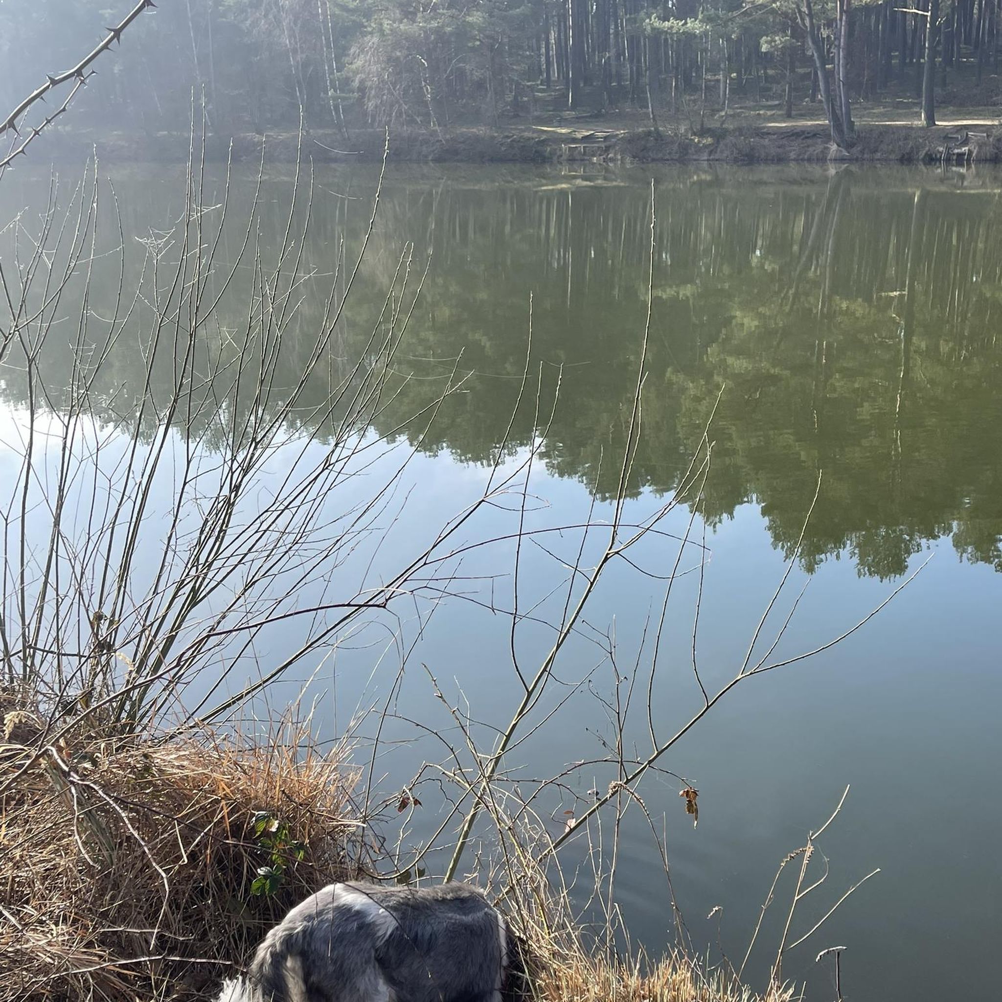
Nice little path through a jungle. Just chirping birds, nothing else
0
0
Frequently Asked Questions
What kind of terrain can I expect on hiking trails around Villiers-Le-Roux?
The hiking trails around Villiers-Le-Roux are characterized by rolling hills and dense forests. You'll find paths with gentle slopes, making them approachable for various fitness levels, and offering a tranquil environment for exploration.
Are there any easy hiking trails suitable for beginners or families?
Yes, there are several easy trails. For example, the Forêt de Tessé loop from Lorigné is an easy 7.2 km trail that takes about 1 hour 50 minutes. The region also features the Blue Lake of Guizengeard, which has an easy and family-friendly 3.2 km loop trail.
Are there any circular hiking routes in the Villiers-Le-Roux area?
Many routes in the area are circular. Examples include the popular Forêt de Tessé loop from La Forêt-de-Tessé, the Hiking loop from Ruffec (Charente), and the Les Gillardes loop from Condac. The Lakes of Lavaud and Mas Chaban also offer a 14 km loop trail.
What natural features or landmarks can I see while hiking near Villiers-Le-Roux?
The region is rich in natural beauty. You can explore serene water bodies like the Fleix Water Plan and Fleix Lake. The unique Blue Lake of Guizengeard, an old kaolin quarry with intense turquoise water, is a notable sight. Additionally, the Lakes of Touverac offer mysterious blue ponds formed from ancient white clay quarries. For geological interest, the Beauvoir Cliffs are also accessible via a loop trail from Quinçay.
What do other hikers say about the trails around Villiers-Le-Roux?
The routes in Villiers-Le-Roux are well-regarded by the komoot community, with an average score of 2.9 stars from over 5 reviews. Hikers often praise the varied terrain, including rolling hills and dense forests, and the tranquil environment of the water bodies.
Are there any longer, more challenging hikes available?
While most trails feature gentle slopes, some offer a more extended experience. The View of Château de Verteuil loop from Condac is a moderate 14.0 km route, taking about 3 hours 39 minutes. Another moderate option is the Les Gillardes loop from Condac, which is 11.4 km long.
What is the best time of year to go hiking in Villiers-Le-Roux?
The climate in the Charente region is generally pleasant, making it suitable for walking throughout the year. Spring and autumn offer comfortable temperatures and beautiful scenery, while summer provides longer daylight hours. Even winter can be suitable for hiking, given the mild conditions.
Are there any trails that pass by water features or lakes?
Yes, the region is known for its water bodies. Routes like the 'Ayron and the Fleix water plan - loop' and 'Fleix Lake loop from Ayron' allow you to explore the serene surroundings of these features. The Lakes of Lavaud and Mas Chaban, the Blue Lake of Guizengeard, and the Lakes of Touverac all offer trails directly alongside or around them.
How many hiking routes are available in the Villiers-Le-Roux area?
There are 7 hiking routes documented on komoot for the Villiers-Le-Roux area, offering a range of options from easy walks to moderate hikes through forests and alongside water bodies.
Can I find trails that offer views of historical sites or châteaux?
Yes, some routes provide glimpses of local heritage. For instance, the View of Château de Verteuil loop from Condac offers a chance to see the impressive Château de Verteuil while enjoying the countryside.
What are the typical distances and durations for hikes in this region?
Hikes in the Villiers-Le-Roux area vary in length and duration. You can find shorter, easy trails like the 7.2 km Forêt de Tessé loop from Lorigné, which takes about 1 hour 50 minutes. Longer moderate routes, such as the 14.0 km View of Château de Verteuil loop from Condac, can take around 3 hours 39 minutes.
Most popular routes around Villiers-Le-Roux

Get inspired with the komoot mobile app


Explore more
Browse the best Hikes in other regions.
