The best gravel rides around Faramans
4.5
(125)
737
riders
26
rides
Gravel biking around Faramans offers diverse terrain across both the Isère and Ain departments of Auvergne-Rhône-Alpes. The landscape features ancient glacial moraines, extensive woodlands like Bois d'Autimont, and river valleys such as Les Eydoches. Riders can expect a mix of forest tracks, quiet village roads, and white roads, with routes traversing plains, hills, and lower mountain areas. This region provides varied cycling experiences, from shaded paths around ponds to routes offering views of the Alps.
Best gravel bike trails around…
Last updated: October 18, 2026
4.5
(32)
246
riders
58.3km
03:28
170m
170m
Moderate gravel ride. Good fitness required. Mostly paved surfaces. Suitable for all skill levels.
4.7
(9)
57
riders
79.7km
04:58
750m
750m
Hard gravel ride. Very good fitness required. Mostly paved surfaces. Suitable for all skill levels.

4.0
(2)
12
riders
Moderate gravel ride. Good fitness required. Mostly paved surfaces. Suitable for all skill levels.
4.3
(3)
34
riders
Hard gravel ride. Very good fitness required. Mostly paved surfaces. Suitable for all skill levels.
12
riders
91.2km
04:49
410m
410m
Moderate gravel ride. Good fitness required. Mostly paved surfaces. Suitable for all skill levels.
Get access to more routes and recommendations from other explorers.
Already have an account?
Our route recommendations are based on thousands of hikes, rides, and runs completed by other people on komoot.
Start today with a free account
Your next adventure awaits.
Tips from the Community

The Morlet ford (located near the tailrace and the Miribel canal) is a well-known crossing point for walkers, cyclists, and mountain bikers within the Grand Parc de Miribel-Jonage. It connects sections of paths and tracks between the tailrace, the Morlet area, and the lakes of the large park (such as the Lac des Eaux Bleues).
0
0
The Lac du Grand Large (or Grand-Large reservoir) is an artificial lake of about 150 hectares located in the east of Lyon, straddling the communes of Décines-Charpieu and Meyzieu. Created at the end of the 19th century during the development of the Jonage canal, it historically serves as a reservoir for the Cusset hydroelectric power plant in Villeurbanne. Today, it is one of the most popular outdoor recreation areas in the Lyon metropolitan area.
0
0
The Lac du Grand Large (or Grand-Large reservoir) is an artificial lake of about 150 hectares located in the east of Lyon, straddling the communes of Décines-Charpieu and Meyzieu. Created at the end of the 19th century during the development of the Jonage canal, it historically serves as a reservoir for the Cusset hydroelectric power plant in Villeurbanne. Today, it is one of the most popular outdoor leisure spaces in the Lyon metropolitan area.
0
0
The Grand Large lake (or Grand-Large reservoir) is an artificial lake of about 150 hectares located in eastern Lyon, straddling the towns of Décines-Charpieu and Meyzieu. Created at the end of the 19th century during the development of the Jonage canal, it has historically served as a reservoir for the Cusset hydroelectric power plant in Villeurbanne. Today, it is one of the most popular outdoor recreation areas in the Lyon metropolitan area.
0
0
This rural village, bordered by the Rhône and the spectacular cliffs of Isle Crémieu, has just over 1,200 inhabitants (the Hiérois) and is part of the Balcons du Dauphiné community of municipalities.
0
0
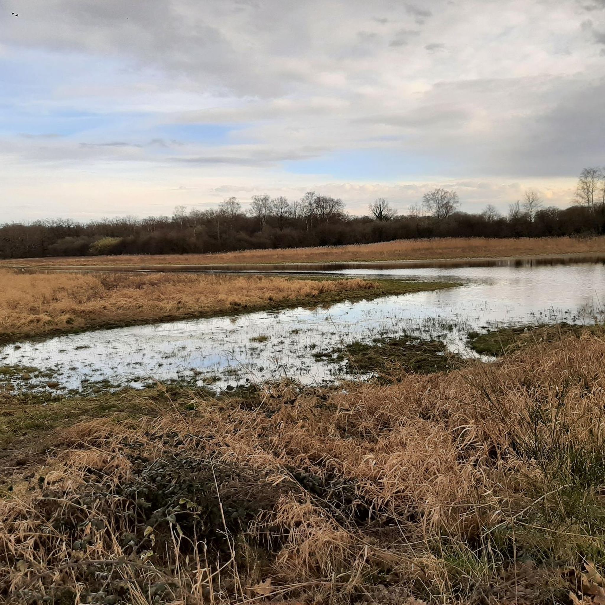
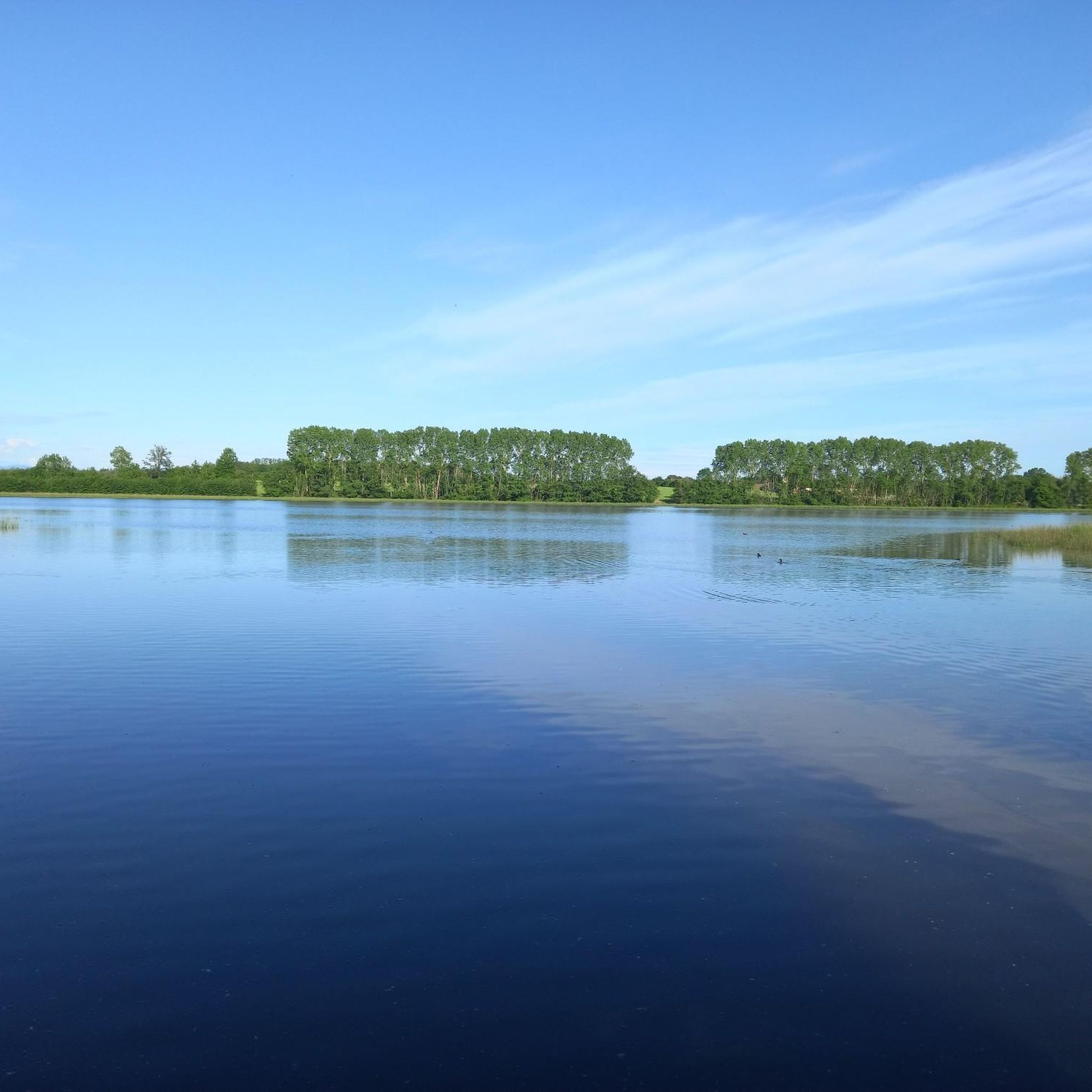
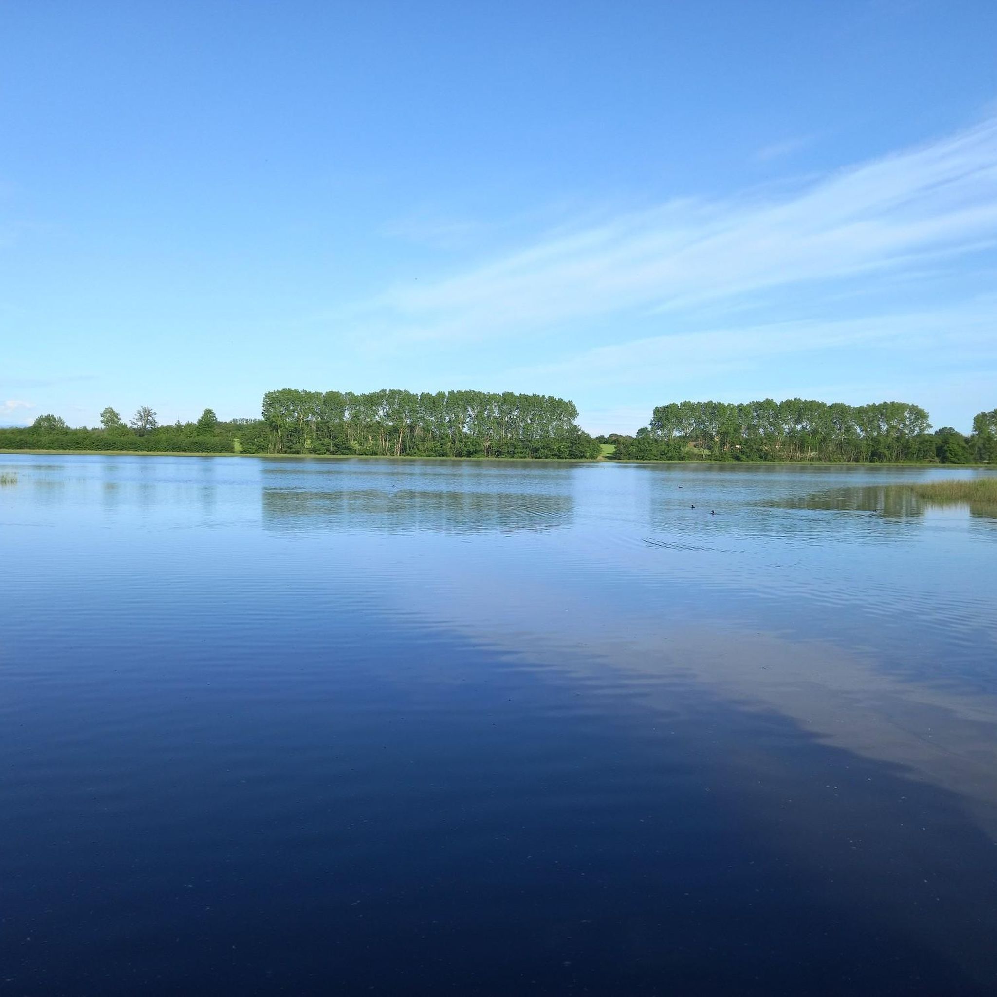
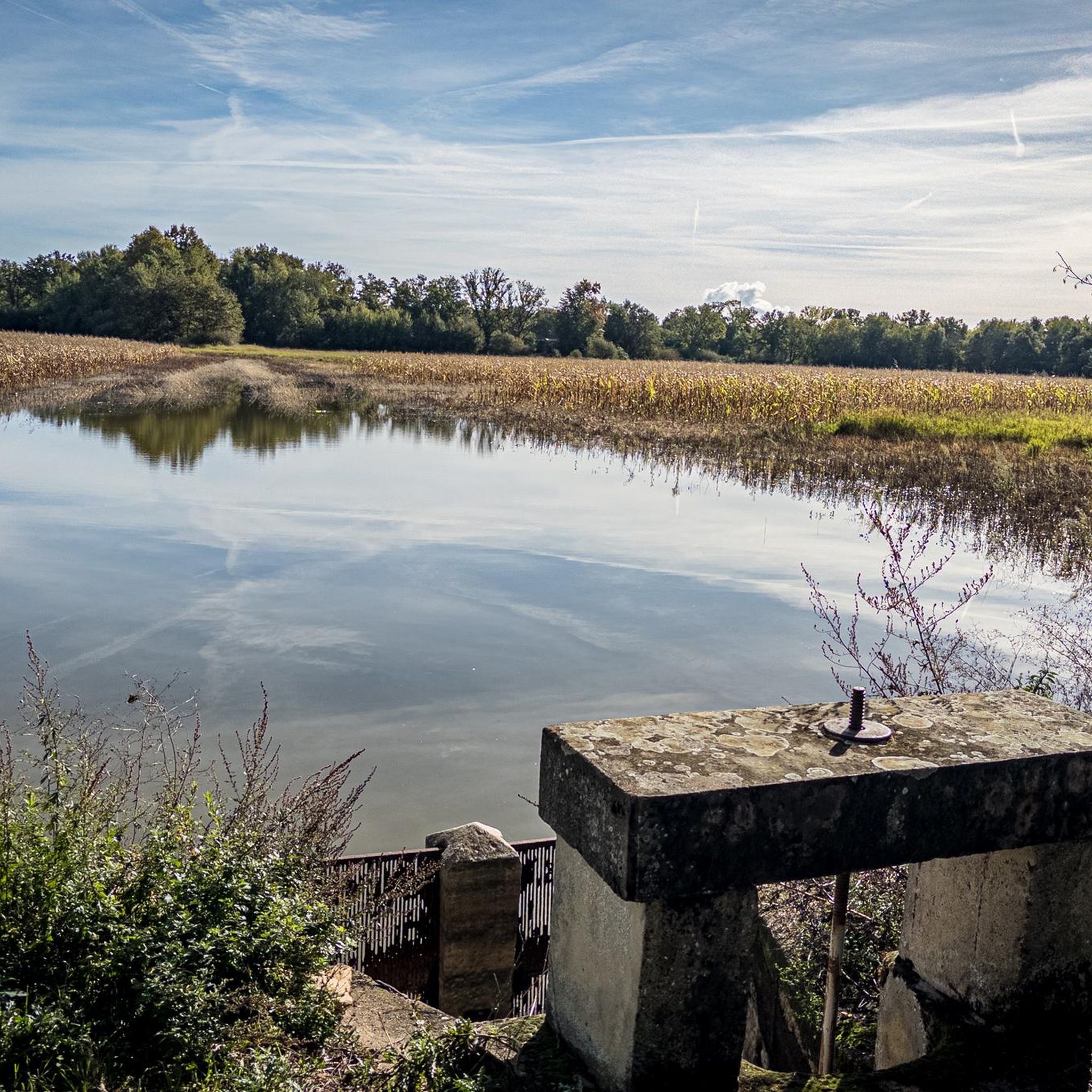
L'étang du Peillard is a charming small body of water located in the municipality of Saint-Romain-de-Jalionas, in the north of the Isère department, in the Auvergne-Rhône-Alpes region. It is located right next to the historic site of Moulin du Peillard.
0
0

Fantastic and definitely worth visiting. Here you can really unwind and relax.
1
0

Very beautiful village with character, entirely made of stone; from the village, you can see the Madonna of the Larina Archaeological site.
0
0
Frequently Asked Questions
How many gravel bike trails are available around Faramans?
There are nearly 20 gravel bike trails around Faramans, offering a diverse range of experiences. These routes are highly rated by the komoot community, with an average score of 4.6 stars.
What kind of terrain can I expect on gravel bike routes near Faramans?
The terrain around Faramans is quite varied, reflecting its location across both the Isère and Ain departments. You'll encounter ancient glacial moraines, extensive woodlands like Bois d'Autimont, and river valleys such as Les Eydoches. Routes feature a mix of forest tracks, quiet village roads, and white roads, traversing plains, hills, and lower mountain areas. Faramans (Isère) offers trails along the Les Eydoches River and through the Bois d'Autimont, while Faramans (Ain) benefits from the broader department's diverse landscapes, including forest tracks and quiet village roads.
Are there any challenging gravel routes for experienced riders?
Yes, for experienced riders seeking a challenge, there are 7 difficult gravel routes around Faramans. One such route is the Le Grand Large – Jonage Canal and Grand Large loop from La Valbonne, which covers over 126 km with significant elevation gain. Another demanding option is the Miribel ford – Madonna of Mas Rillier loop from La Valbonne, a 73.7 km route with over 340 meters of ascent.
What are some notable natural features or landmarks I can see along the gravel trails?
The region offers several interesting natural features and landmarks. In Faramans (Isère), you can explore the Bois d'Autimont, the Les Eydoches River with its unique resurgence, and the tranquil Le Marais Pond. The broader area also features highlights like Aubépin Pond and Lake Neyton. You might also encounter the ponds of the Dombes, which are biodiversity hotspots.
Are there any family-friendly gravel biking options around Faramans?
While specific 'easy' gravel routes are limited, the region offers paths suitable for families, especially around Faramans (Isère). The leisure base at Le Marais Pond provides shaded paths, and the commune offers circuits for walking and cycling through its natural territory, including the Bois d'Autimont. These areas often feature gentler routes, perfect for a leisurely family ride.
What is the best time of year for gravel biking in Faramans?
The Auvergne-Rhône-Alpes region, including Faramans, is generally pleasant for cycling from spring through autumn. Spring offers lush greenery and moderate temperatures, while autumn provides beautiful foliage. Summer can be warm, but many routes, especially those through woodlands like Bois d'Autimont or along river valleys, offer welcome shade.
Where can I find parking for gravel bike trails in Faramans?
For Faramans (Isère), the Le Marais Pond and Leisure Base is a good starting point, often providing parking facilities for visitors. For routes originating from nearby towns like La Valbonne or Dagneux, you'll typically find public parking available in the town centers or near trailheads. Always check local signage for specific parking regulations.
Are there any circular gravel bike routes available?
Yes, many of the gravel routes around Faramans are designed as loops, allowing you to start and finish at the same point. For example, the St Jacques de composgravel loop from Dagneux is a popular moderate circular route, and the more challenging Ain/Rhône confluence – The open sea loop from La Valbonne also forms a loop.
What do other gravel bikers enjoy most about the routes in Faramans?
The routes in Faramans are highly rated by the komoot community, with an average score of 4.6 stars from over 70 reviews. Riders often praise the diverse terrain, from quiet forest tracks to scenic riverine landscapes, and the blend of natural beauty with varied cycling experiences. The ability to explore both the Isère and Ain departments' unique characteristics is also a highlight.
Can I access gravel bike trails in Faramans using public transport?
While direct public transport to specific trailheads within Faramans itself might be limited, the broader Auvergne-Rhône-Alpes region has a public transport network. You may find bus or train services to larger towns near Faramans, such as Montluel or La Valbonne, from where some routes originate. It's advisable to check regional transport schedules for the most up-to-date information.
Are there any historical sites or cultural points of interest near the gravel routes?
Yes, the region offers some historical and cultural points of interest. You can visit the Medieval town of Pérouges, a well-preserved historical site. Other notable places include the Sainte-Madeleine Church of Le Montellier and various fortifications. Faramans (Isère) itself features a lavoir (washhouse) made of rolled pebbles along the Les Eydoches River, offering a glimpse into local heritage.
Are there any long-distance gravel cycling routes around Faramans?
Yes, for those looking for longer rides, there are several extensive gravel routes. The Le Grand Large – Jonage Canal and Grand Large loop from La Valbonne is a significant 126 km route, and the Ain/Rhône confluence – The open sea loop from La Valbonne covers over 94 km, providing ample distance for a full day's adventure.
Most popular attractions around Faramans

Get inspired with the komoot mobile app


Explore more
Browse the best Gravel rides in other regions.
