The best walks and hikes around Saint-Saviol
3.0
(1)
28
hikers
13
hikes
Hiking around Saint-Saviol offers trails through varied terrain in the Vienne department of Nouvelle-Aquitaine, France. The landscape is characterized by wooded areas, agricultural land, and paths alongside rivers such as the La Bouleure and Charente. The region features generally flat to gently hilly plains, providing accessible routes for outdoor activities.
Best hiking trails around Saint-Saviol
- The most popular hiking route is La Bouleure Stream at Brux loop from Brux, a 5.5 miles (8.8 km) trail that takes about 2…
Last updated: July 2, 2026
3
hikers
8.66km
02:16
70m
70m
Moderate hike. Good fitness required. Easily-accessible paths. Suitable for all skill levels.
3
hikers
4.62km
01:13
40m
40m
Easy hike. Great for any fitness level. Easily-accessible paths. Suitable for all skill levels.

Sign up for free
2
hikers
7.67km
02:00
60m
60m
Moderate hike. Good fitness required. Easily-accessible paths. Suitable for all skill levels.
4
hikers
3.57km
00:55
20m
20m
Easy hike. Great for any fitness level. Easily-accessible paths. Suitable for all skill levels.
4
hikers
5.27km
01:22
30m
30m
Easy hike. Great for any fitness level. Easily-accessible paths. Suitable for all skill levels.
Get access to more routes and recommendations from other explorers.
Sign up for free
Already have an account?
Our route recommendations are based on thousands of hikes, rides, and runs completed by other people on komoot.
Start today with a free account
Your next adventure awaits.
Login or Signup


Tips from the Community

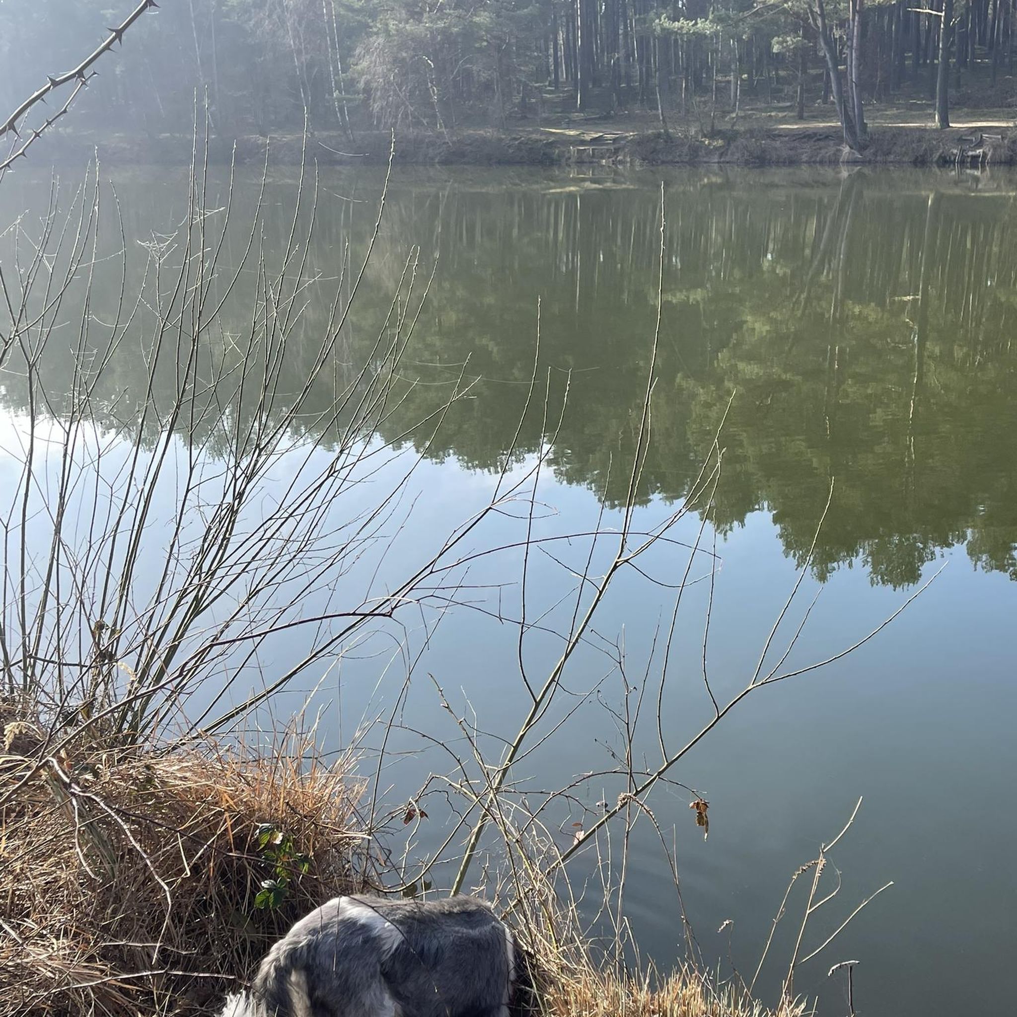
possible observation of Lepidurus apus in spring
0
0

SAVIGNÉ, a large town in west-central France, with around fifty villages, and the town, located on the shores of the coastal river "La Charente" in the northernmost part of its route, at an altitude of between 161 and 110 meters, is located in Poitou
0
0
Frequently Asked Questions
How many hiking trails are available around Saint-Saviol?
There are 13 hiking trails around Saint-Saviol. These routes offer a variety of experiences, from gentle riverside strolls to more challenging paths through wooded areas.
What kind of landscape will I encounter on hikes in Saint-Saviol?
Hikes around Saint-Saviol feature a diverse landscape, including wooded areas, agricultural land, and paths alongside rivers such as the La Bouleure and Charente. The terrain is generally flat to gently hilly, providing accessible routes for various fitness levels.
Are there easy hiking options suitable for beginners or families?
Yes, Saint-Saviol offers several easy hiking options. For instance, the La Charente – L'Île Gilet loop from Civray is an easy 4.6 km path that explores the area around the Charente River. There are 8 easy routes in total, perfect for a relaxed outing.
Can I find circular hiking routes in the Saint-Saviol area?
Yes, many of the trails around Saint-Saviol are circular routes. For example, the popular La Bouleure Stream at Brux loop from Brux is an 8.8 km circular trail, and the Savigné loop from Savigné is another great option, covering 7.7 km through varied terrain.
Are there any trails that follow rivers or streams?
Absolutely. The region is characterized by its riverine paths. You can enjoy routes like the La Bouleure Stream at Brux loop from Brux, which follows the La Bouleure stream, or the La Charente loop from Saint-Pierre-d'Exideuil, offering pleasant walks along the Charente River.
What do other hikers say about the trails in Saint-Saviol?
The trails in Saint-Saviol are highly rated by the komoot community, with an average score of 4.3 stars from 3 reviews. Hikers often praise the accessible routes and the peaceful natural surroundings, particularly the wooded areas and river paths.
When is the best time of year to go hiking in Saint-Saviol?
The area around Saint-Saviol is generally pleasant for hiking throughout much of the year. Spring and autumn offer mild temperatures and beautiful scenery, while summer can be enjoyable, especially on shaded trails or along rivers. It's always a good idea to check local weather conditions before heading out.
Are there any historical or cultural attractions near the hiking trails?
While the trails themselves focus on natural beauty, the broader area offers cultural sites. You can visit the historic Abbey Saint-Sauveur de Charroux, about 12 km away, or explore nearby towns like Ruffec and Nanteuil-en-Vallee, which feature historical highlights and charming architecture.
Is there parking available at the trailheads?
Specific parking information for each trailhead can vary. However, many routes starting from villages like Brux, Civray, or Savigné typically have public parking options nearby. We recommend checking the individual route details on komoot for the most precise information on starting points and accessibility.
Can I access hiking trails in Saint-Saviol using public transport?
Public transport options directly to all trailheads in Saint-Saviol may be limited, as is common in rural areas. It's advisable to check local bus schedules or consider driving to the starting points of the trails, especially for routes that begin in smaller hamlets or rural areas.
Are the hiking trails around Saint-Saviol suitable for dogs?
Generally, dogs are welcome on hiking trails in France, especially in natural, rural settings like Saint-Saviol. However, it's always best to keep your dog on a leash, especially near agricultural land or wildlife, and to respect local signage regarding dog access. Always carry water for your pet and clean up after them.
What are some notable natural features to look out for?
Beyond the rivers and streams, the region's natural beauty lies in its mix of wooded areas and open agricultural plains. Keep an eye out for diverse flora and fauna typical of the Vienne department. The presence of bodies of water like the Plan d'eau de Saint-Macoux also adds to the scenic variety.

Get inspired with the komoot mobile app


Explore more
Browse the best Hikes in other regions.
