The best gravel rides around Saint-Sauves-D'Auvergne
4.9
(9)
87
riders
11
rides
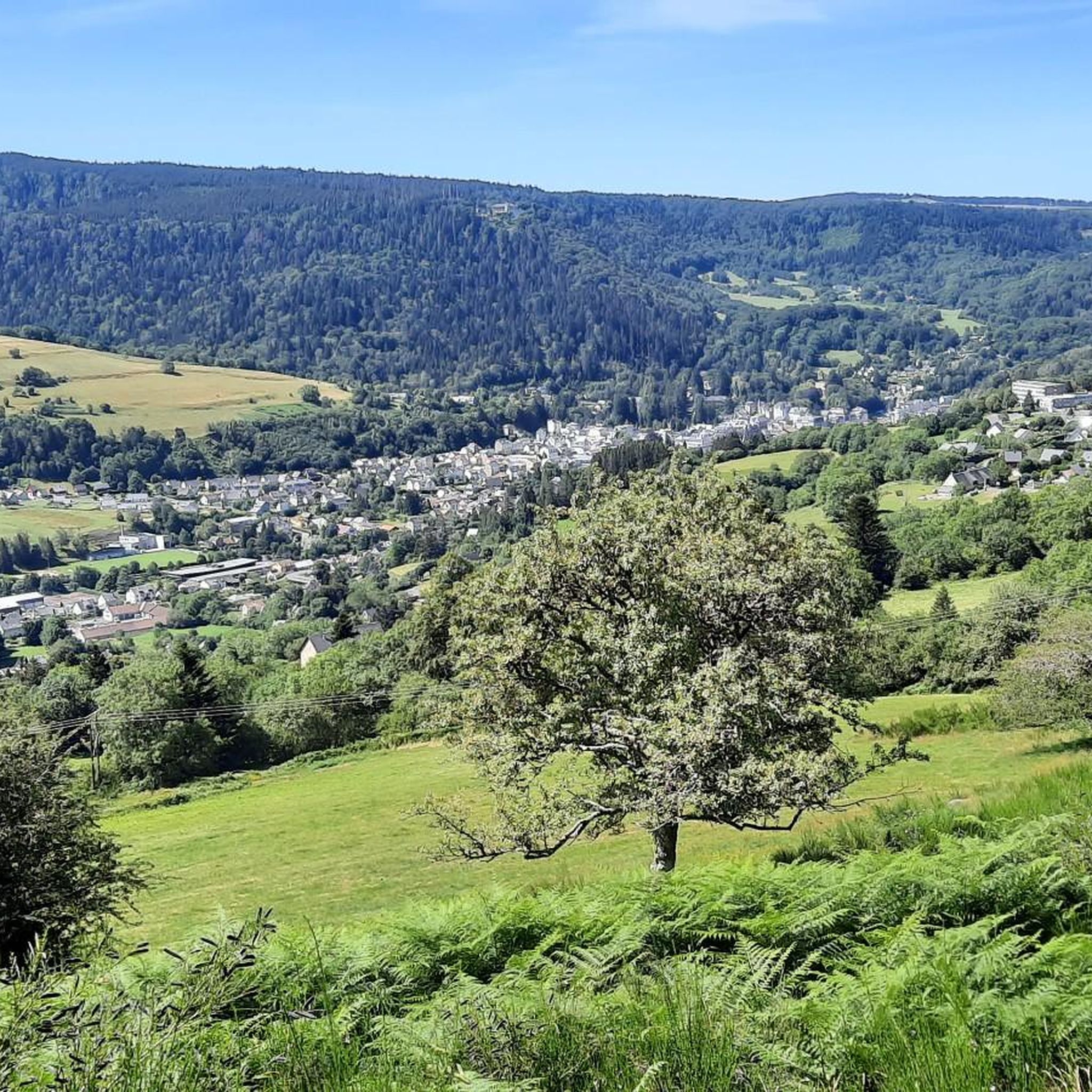
Gravel biking around Saint-Sauves-D'Auvergne is characterized by its location within the Auvergne Volcanoes Regional Natural Park, offering varied volcanic terrain. The region features rolling hills, plateaus, and valleys, with routes traversing the Sancy Massif and the Artense plateau. Cyclists encounter continuous ascents and descents through forests and open landscapes, providing a sporty experience.
Best gravel bike trails around Saint-Sauves-D'Auvergne
- The most popular gravel bike trail is Charlannes Waterfall – The Dordogne at La Bourboule loop from La Sagne-Haute, an…
Last updated: August 25, 2026
5.0
(1)
20
riders
30.0km
02:38
710m
710m
Hard gravel ride. Very good fitness required. You may need to push your bike for some segments of this route.
5.0
(1)
7
riders
36.7km
03:07
780m
780m
Hard gravel ride. Very good fitness required. Mostly paved surfaces. Suitable for all skill levels.

Sign up for free
4.6
(5)
38
riders
45.8km
03:25
1,010m
1,010m
Hard gravel ride. Very good fitness required. Mostly paved surfaces. Suitable for all skill levels.
5.0
(1)
12
riders
73.4km
05:02
1,560m
1,560m
Hard gravel ride. Very good fitness required. Mostly paved surfaces. Suitable for all skill levels.
5.0
(1)
10
riders
Hard gravel ride. Very good fitness required. Mostly paved surfaces. Suitable for all skill levels.
Get access to more routes and recommendations from other explorers.
Sign up for free
Already have an account?
Our route recommendations are based on thousands of hikes, rides, and runs completed by other people on komoot.
Start today with a free account
Your next adventure awaits.
Login or Signup

Tips from the Community

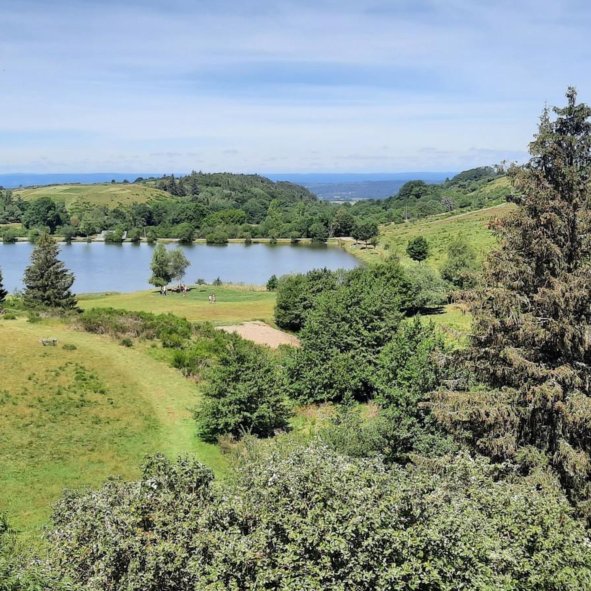
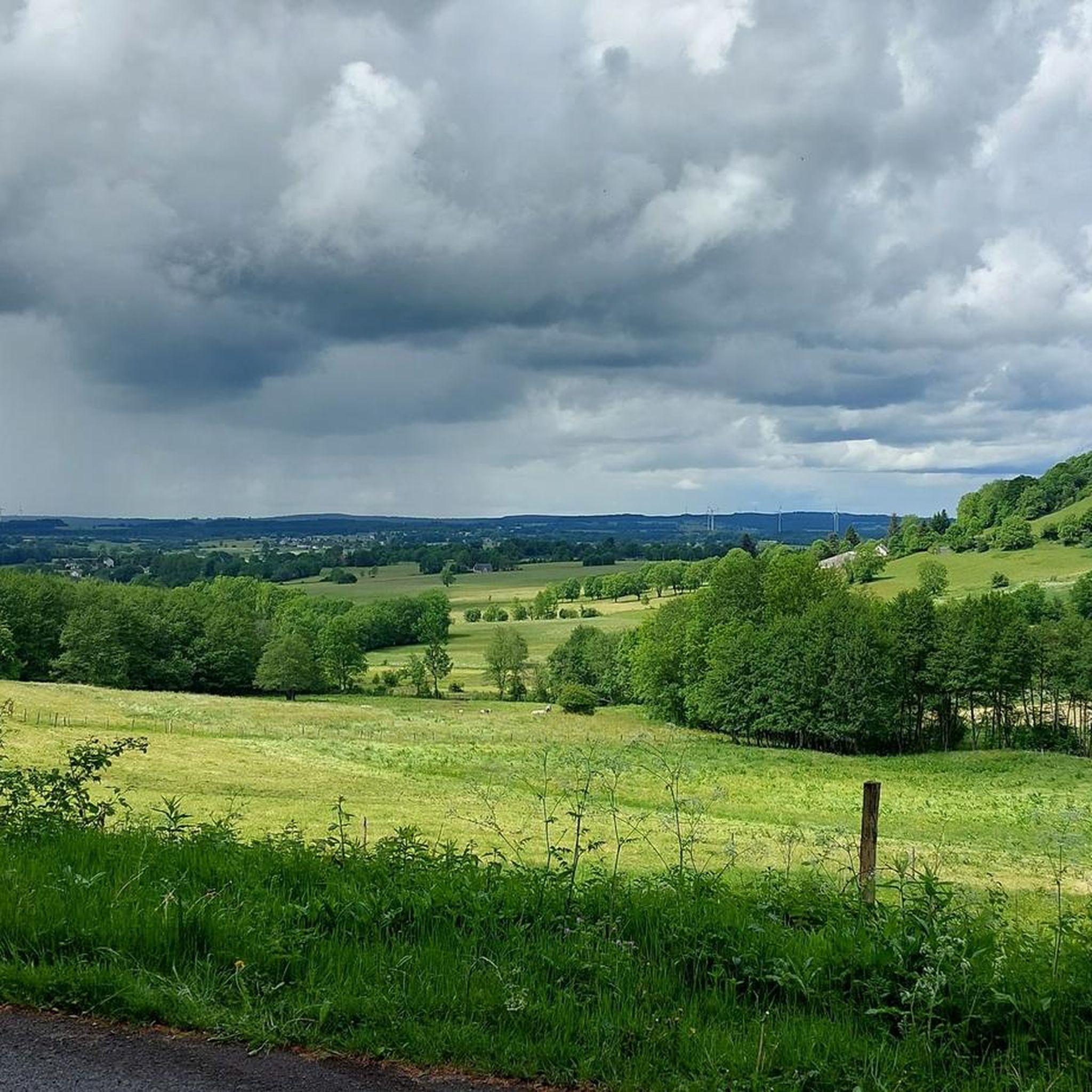
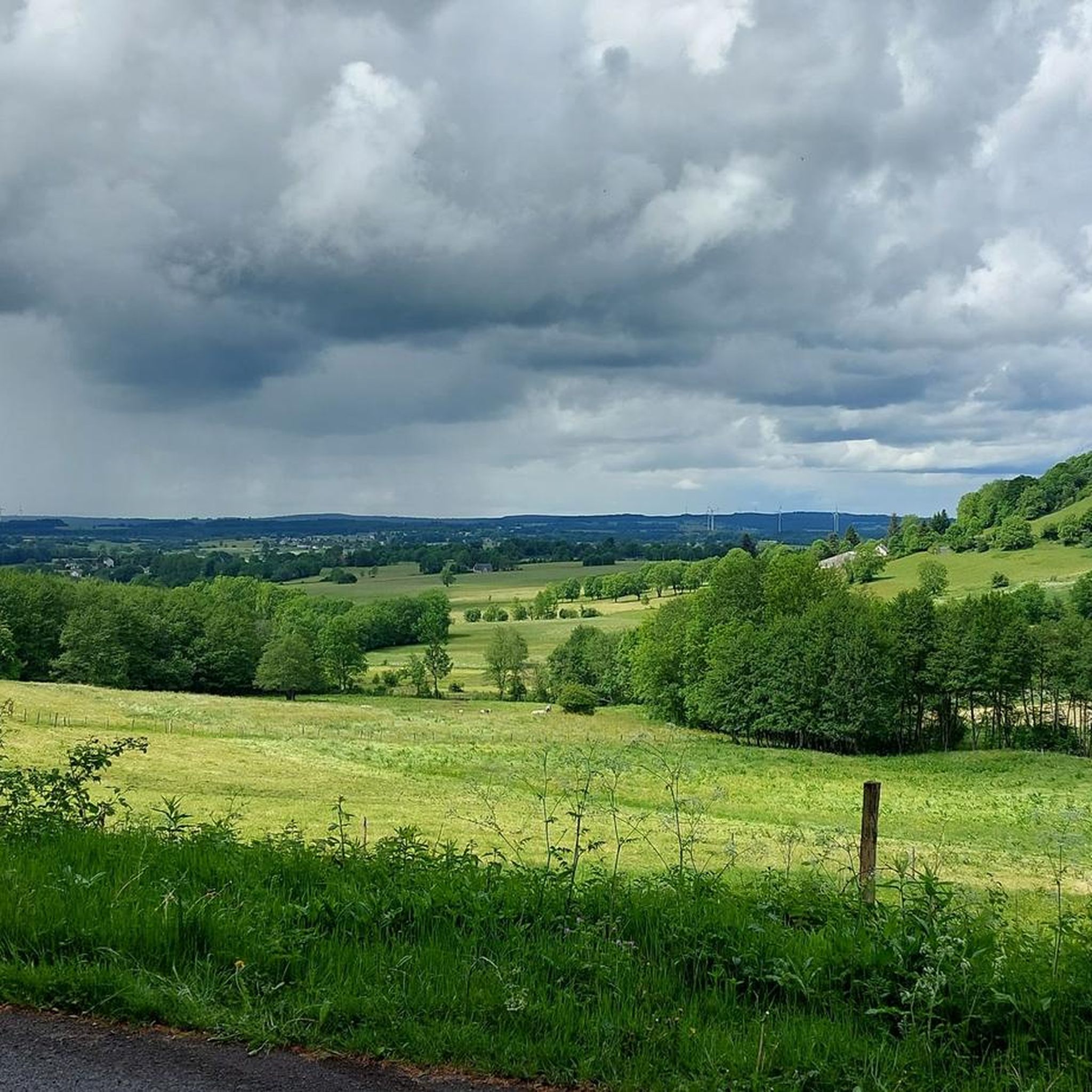
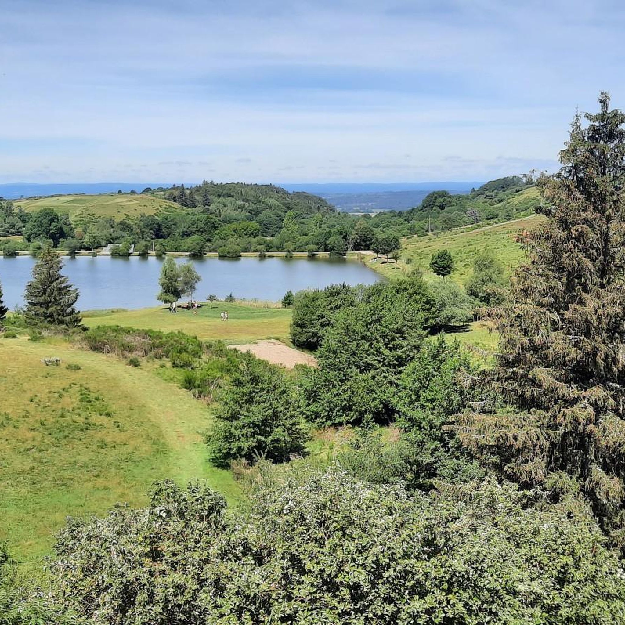
A beautiful view of the landscape from the D996.
0
0

A wonderful pass, superb landscapes! And a very beautiful route
1
0
A challenge with full luggage, as the Robert Pass is currently closed. Traffic was quite bearable. The pass hut was rather busy, but it was also Whitsun. I can't imagine what would have been like if the weather had been perfect.
0
0

A beautiful little town in the Auvergne region. A must-see in both summer and winter.
0
0
Nice option, unfortunately nothing was open when I drove past.
0
0

Heated picnic room with microwave Cross-country ski rental Restaurant opening in February 2025
0
0


The Col de Guéry, located in the heart of the Auvergne region, offers a picturesque mountain pass experience amidst the volcanic landscapes of the Massif Central. At an altitude of approximately 1,267 metres, the pass offers stunning views of Lake Guéry below, the highest lake in Auvergne. The region is known for its tranquil beauty, with rolling meadows, dramatic volcanic peaks and forests that change colour with the seasons. Nearby Roche Sanadoire and Roche Tuilière add to the spectacular scenery, making it a perfect stop on your hike.
1
0
Frequently Asked Questions
How many gravel bike trails are available around Saint-Sauves-D'Auvergne?
There are over a dozen gravel bike trails around Saint-Sauves-D'Auvergne, offering a variety of experiences within the Auvergne Volcanoes Regional Natural Park. Most routes are considered difficult, providing a sporty challenge with continuous ascents and descents.
What kind of terrain can I expect on gravel bike trails in Saint-Sauves-D'Auvergne?
The terrain is predominantly volcanic, characterized by rolling hills, plateaus, and valleys within the Sancy Massif and Artense plateau. You'll encounter varied surfaces, from forest paths to open landscapes, often with significant elevation changes. While challenging, the paths are generally rideable for gravel bikes, sometimes requiring a push on steeper sections.
Are there any long-distance gravel routes near Saint-Sauves-D'Auvergne?
Yes, the region is part of the Grande Traversée du Massif Central (GTMC) Gravel route, which is a version of France's largest mountain bike itinerary adapted for gravel bikes. This extensive network traverses the Auvergne volcanoes, offering a significant long-distance adventure. For more information, you can visit France Vélo Tourisme.
What natural landmarks or viewpoints can I see while gravel biking in the area?
The region is rich in natural beauty. You can encounter impressive features like the 32-meter high Grande Cascade of Mont-Dore, the scenic Lake Guéry, and volcanic peaks such as Puy de Sancy and La Banne d'Ordanche, which offer panoramic views.
Are there any circular gravel bike routes available?
Yes, many of the gravel routes in the area are designed as loops. For example, the Charlannes Waterfall – The Dordogne at La Bourboule loop from La Sagne-Haute is a popular 29.6 km circular trail that explores the Dordogne valley and passes the Charlannes Waterfall.
What is the best time of year for gravel biking in Saint-Sauves-D'Auvergne?
The best time for gravel biking is generally from spring to autumn, when the weather is milder and trails are clear of snow. The region's 'vallonné' (hilly) terrain can be challenging, so pleasant weather makes for a more enjoyable experience. Winter conditions can bring snow and ice, making many routes impassable or requiring specialized equipment.
What do other gravel bikers enjoy most about the trails in Saint-Sauves-D'Auvergne?
The komoot community highly rates the gravel biking experience here, with an average score of 4.9 stars. Reviewers often praise the diverse volcanic landscapes, the challenging yet rewarding ascents and descents, and the preserved nature that offers a tranquil escape from urban bustle.
Are there any routes that pass through mountain passes?
Yes, the region features several mountain passes that are incorporated into gravel routes. For instance, the Croix Morand Pass – Col de la Croix Morand loop from Mont-Dore is a challenging 45.5 km path that features significant elevation gain as it loops around the Col de la Croix Morand.
Can I find routes with varied terrain near Mont-Dore?
Absolutely. The area around Mont-Dore offers diverse gravel biking experiences. The Buron de Croizat – Montée de la roche vendeix loop from Mont-Dore is a 36.2 km trail that leads through varied terrain, providing a good mix of challenges and scenery near the charming spa town.
Are there any particularly challenging routes for experienced gravel bikers?
For experienced gravel bikers seeking a significant challenge, the Croix Morand Pass – Col de la Croix Morand loop from Chastreix is a demanding option. This route spans 73.5 km with over 1500 meters of elevation gain, offering a strenuous and rewarding ride through the volcanic landscape.
What are the typical distances and elevation gains for gravel routes in this region?
Gravel routes around Saint-Sauves-D'Auvergne typically range from around 30 km to over 70 km. Elevation gains are substantial, often between 700 meters and 1500 meters for a single loop, reflecting the hilly and volcanic nature of the Auvergne region.
Are there any routes that start from La Bourboule?
Yes, the nearby town of La Bourboule serves as a starting point for several gravel adventures. An example is the Col de la Croix Morand – Croix Morand Pass loop from La Bourboule, a challenging 50.2 km route with over 1200 meters of elevation gain.
Most popular routes around Saint-Sauves-D'Auvergne
Most popular attractions around Saint-Sauves-D'Auvergne

Get inspired with the komoot mobile app


Explore more
Browse the best Gravel rides in other regions.
