The best walks and hikes around Féniers
4.3
(25)
159
hikers
16
hikes
Hiking around Féniers offers exploration of the wild and unspoilt natural landscapes of France's Creuse department. Situated in the foothills of the Massif Central, the area features a tapestry of larch and birch forests, ancient stones, moors, bogs, and numerous lakes. Elevated areas like Puy de l'Aiguille and Mont Bessou provide panoramic views of the surrounding mountains. The terrain includes varied elevations, from valley floors to higher plateaus.
Best hiking trails in Féniers
- The most popular hiking route is Étang…
Last updated: August 25, 2026
19
hikers
4.23km
01:11
80m
90m
Easy hike. Great for any fitness level. Easily-accessible paths. Suitable for all skill levels.
4.0
(3)
13
hikers
9.54km
02:40
190m
190m
Moderate hike. Good fitness required. Easily-accessible paths. Suitable for all skill levels.

Sign up for free
4.7
(3)
9
hikers
17.2km
04:43
280m
280m
Moderate hike. Good fitness required. Easily-accessible paths. Suitable for all skill levels.
4.0
(2)
11
hikers
6.73km
01:51
110m
110m
Easy hike. Great for any fitness level. Easily-accessible paths. Suitable for all skill levels.
11
hikers
3.80km
01:01
40m
40m
Easy hike. Great for any fitness level. Easily-accessible paths. Suitable for all skill levels.
Get access to more routes and recommendations from other explorers.
Sign up for free
Already have an account?
Our route recommendations are based on thousands of hikes, rides, and runs completed by other people on komoot.
Start today with a free account
Your next adventure awaits.
Login or Signup
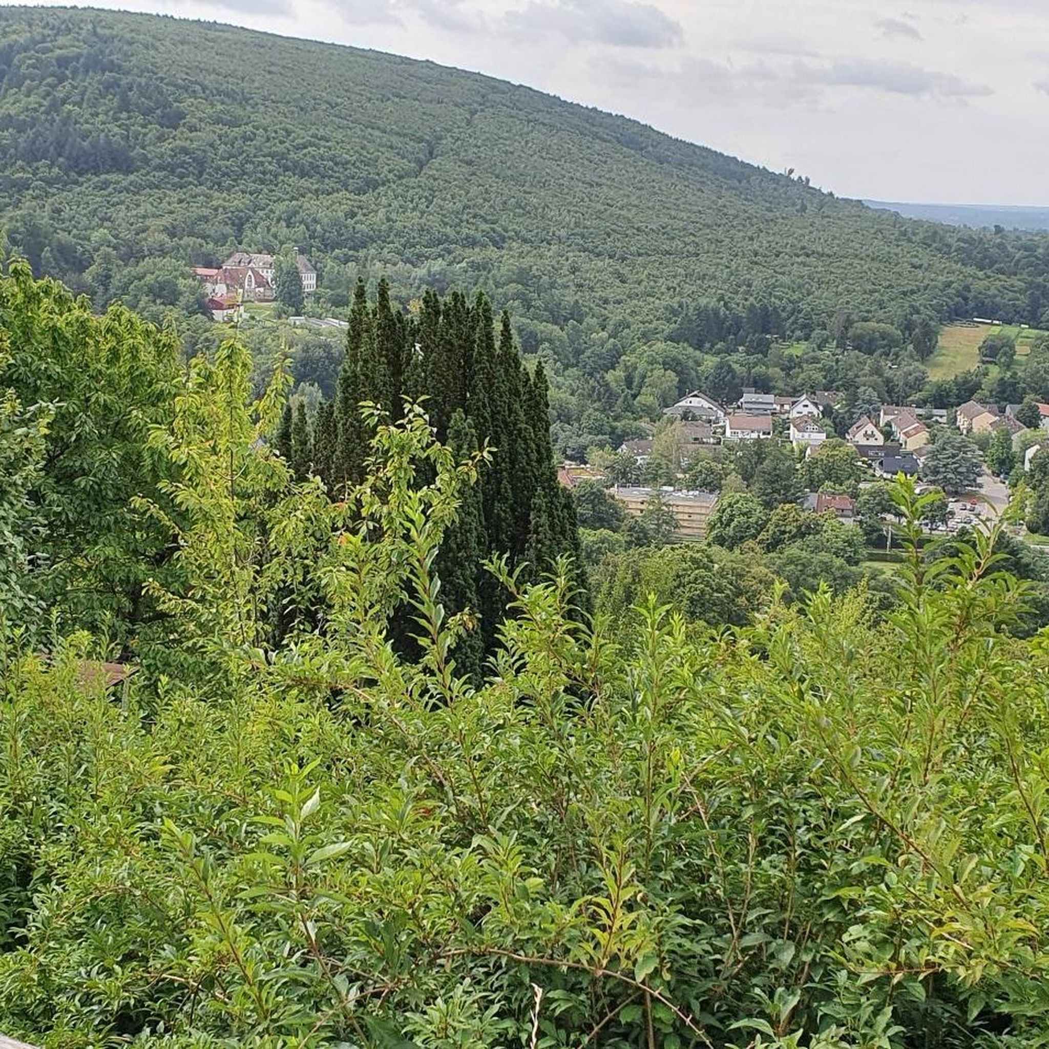
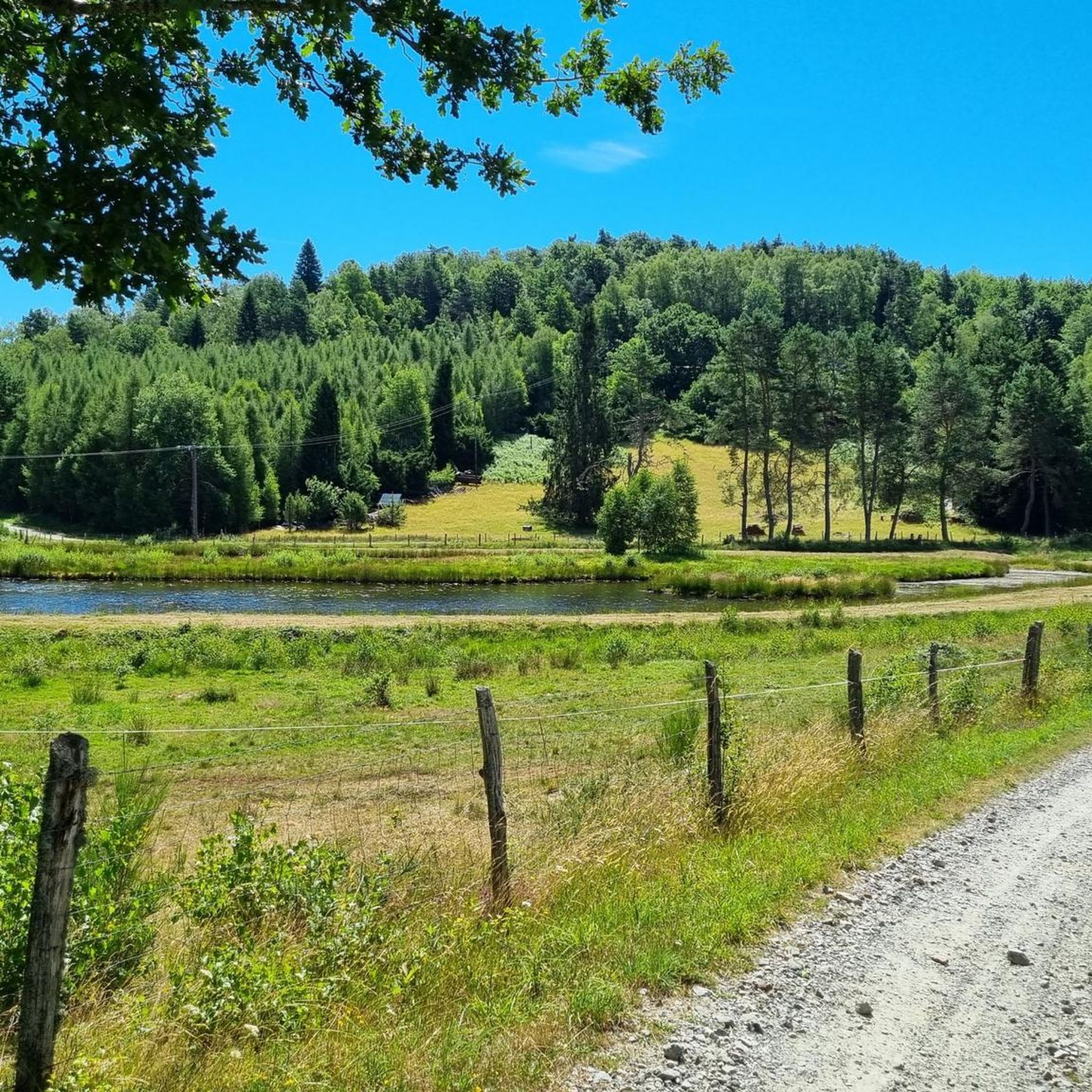
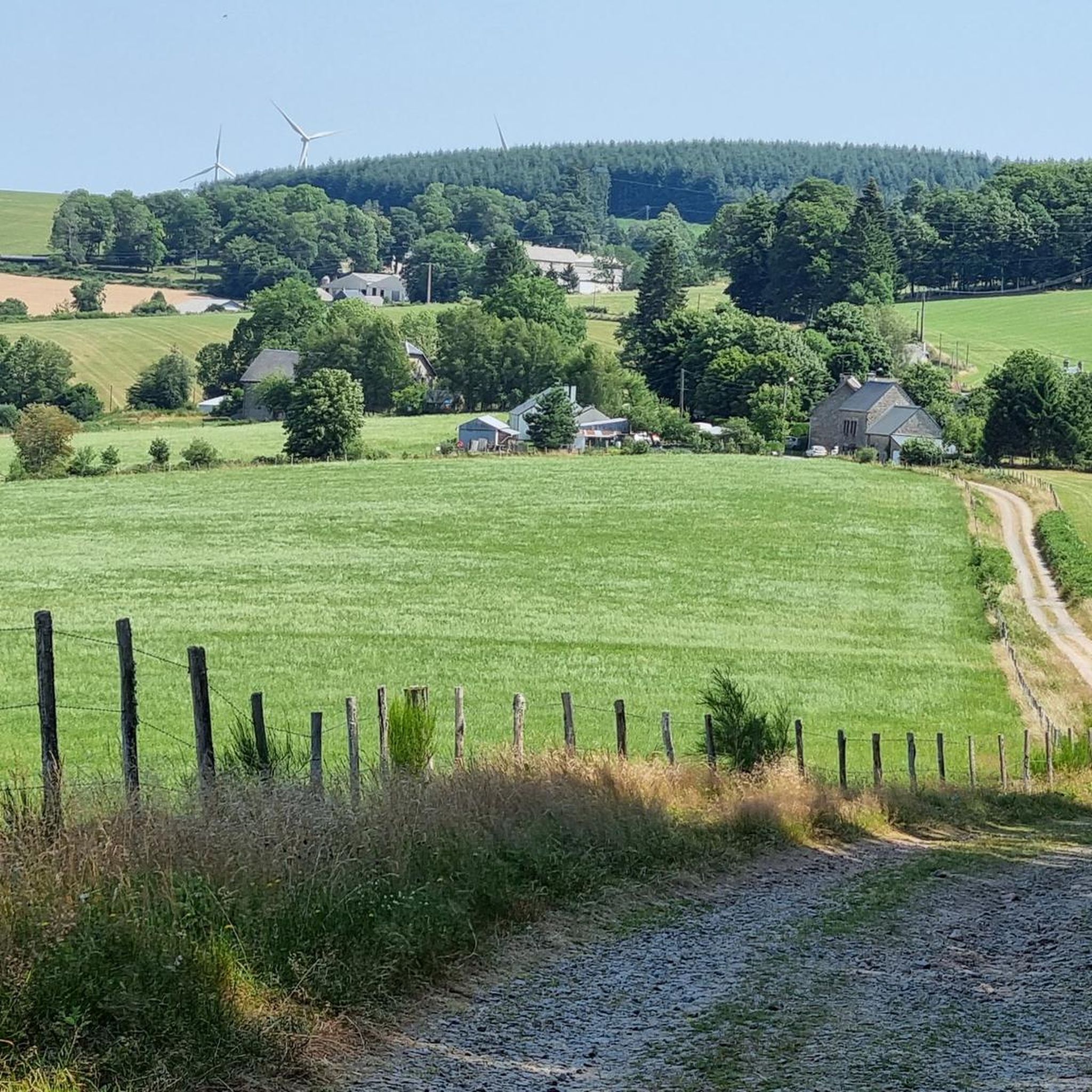

Tips from the Community


Servières is a mysterious site where the granite rock is affected by both horizontal and vertical fracturing, dividing it into blocks several meters wide. The horizontal cracks (or joints) create a "millefeuille" appearance. Fifty meters away, the ruins of a mill are unmissable.
0
0

Relatively well-preserved Templar cross. Very low, it's easy to miss.
0
0
Nice view of the dam, the lake and, in the background, the golf course on the hill in front of the other side of the lake.
3
0

In a beautiful green site, the enclosure and the ruins of a Gallo-Roman villa from the beginning of our era are well highlighted by a few informative panels.
0
0

Another nice lake in this wonderful region, that deserves to be discovered pedalling quietly. You can also fish there.
1
0
Frequently Asked Questions
How many hiking trails are available around Féniers?
There are over 25 hiking trails around Féniers, offering a diverse range of experiences for all skill levels. These routes explore the region's wild and unspoilt natural landscapes, including forests, moors, bogs, and lakes.
What is the difficulty level of hiking trails in Féniers?
Féniers offers a range of trails to suit different abilities. You'll find 5 easy routes, 16 moderate routes, and 4 more challenging difficult routes. This variety ensures there's something for everyone, from leisurely strolls to more strenuous treks.
Are there any easy hiking routes suitable for beginners in Féniers?
Yes, Féniers has 5 easy routes perfect for beginners or those looking for a relaxed walk. An example is the Templar cross loop from Plateau de Millevaches, which is just over 4 km long and features minimal elevation gain.
What kind of natural landscapes can I expect to see while hiking in Féniers?
The Féniers area is characterized by a rich tapestry of larch and birch forests, ancient stones, moors, bogs, and numerous lakes that punctuate the valleys. Elevated areas like Puy de l'Aiguille and Mont Bessou provide panoramic views of the surrounding mountains, including the Cantal and Auvergne mountains.
Are there any interesting landmarks or attractions to see along the hiking trails in Féniers?
Yes, the region is rich in points of interest. You can discover historical sites like the Templar sheep cross and the Gentioux War Memorial. Natural highlights include the picturesque Moulin de Luguet, known for its changing water colors, and the tranquil Lake Servières. You might also encounter the Chammet Lake Dam with its pleasant views.
Are there any circular hiking routes in Féniers?
Many of the trails in Féniers are circular, allowing you to start and end at the same point. For instance, the Étang de Féniers – Puy de la Vesse loop from Féniers is a popular moderate circular route that explores the local pond and ascends to Puy de la Vesse.
What do other hikers enjoy most about hiking in Féniers?
The area is highly rated by the komoot community, with an average score of 4.7 stars from over 16 reviews. Hikers often praise the region's unspoilt natural beauty, the variety of landscapes from forests to lakes, and the well-maintained trails that cater to different skill levels.
Are the hiking trails in Féniers suitable for families?
Yes, Féniers offers several family-friendly options, particularly among its 5 easy routes. These trails are generally shorter and have less elevation, making them suitable for children. The diverse scenery, including lakes and forests, provides an engaging environment for family outings.
Can I bring my dog on the hiking trails in Féniers?
While specific regulations can vary, many natural areas in France, especially regional natural parks like the nearby Parc Naturel Régional de Millevaches en Limousin, generally permit dogs on trails, often requiring them to be on a leash. It's always advisable to check local signage or park guidelines for the specific trail you plan to hike.
Is there public transport available to reach hiking trailheads in Féniers?
Féniers is a rural commune, and public transport options directly to trailheads are limited. It is generally recommended to use a car to access the starting points of most hikes. Some trails, like the Étang de Féniers – Puy de la Vesse loop, start directly from the village of Féniers.
Where can I park when hiking in Féniers?
Parking is typically available in or near the villages where trails begin, such as Féniers itself or Gentioux-Pigerolles. For specific routes, check the komoot tour details for information on designated parking areas near the trailhead.
What is the best time of year to hike in Féniers?
The best time to hike in Féniers is generally from spring to autumn. During these seasons, the weather is milder, and the natural landscapes are at their most vibrant. Spring brings blooming flora, while autumn offers stunning fall foliage in the larch and birch forests. Summer is also popular, but be prepared for warmer temperatures.
Most popular attractions around Féniers

Get inspired with the komoot mobile app


Explore more
Browse the best Hikes in other regions.
