The best MTB trails around Montel-De-Gelat
4.5
(4)
22
riders
12
rides
Mountain biking around Montel-De-Gelat offers diverse terrain within the Combrailles region, situated on a plateau at approximately 700 meters altitude. The landscape features a mix of bocage, high plateaus, deep gorges, winding rivers, and extensive forested areas, providing varied routes. Numerous ponds and lakes, such as Étang-Neuf and Étang de La Ramade, are focal points for trails and offer picturesque views. The area's proximity to the Auvergne Volcanoes Regional Natural Park also allows access to trails exploring volcanic landscapes.
Best…
Last updated: July 1, 2026
4.5
(2)
10
riders
41.5km
03:32
560m
560m
Hard mountain bike ride. Good fitness required. Advanced riding skills necessary. Some portions of the route may require you to push your bike.
2
riders
20.2km
01:39
250m
250m
Easy mountain bike ride. Great for any fitness level. Suitable for all skill levels.

Sign up for free
3
riders
20.6km
01:47
410m
410m
Moderate mountain bike ride. Good fitness required. Advanced riding skills necessary.
2
riders
43.3km
03:46
960m
960m
Hard mountain bike ride. Very good fitness required. Suitable for all skill levels.
5.0
(1)
3
riders
33.6km
02:32
420m
430m
Moderate mountain bike ride. Good fitness required. Suitable for all skill levels.
Get access to more routes and recommendations from other explorers.
Sign up for free
Already have an account?
Our route recommendations are based on thousands of hikes, rides, and runs completed by other people on komoot.
Start today with a free account
Your next adventure awaits.
Login or Signup
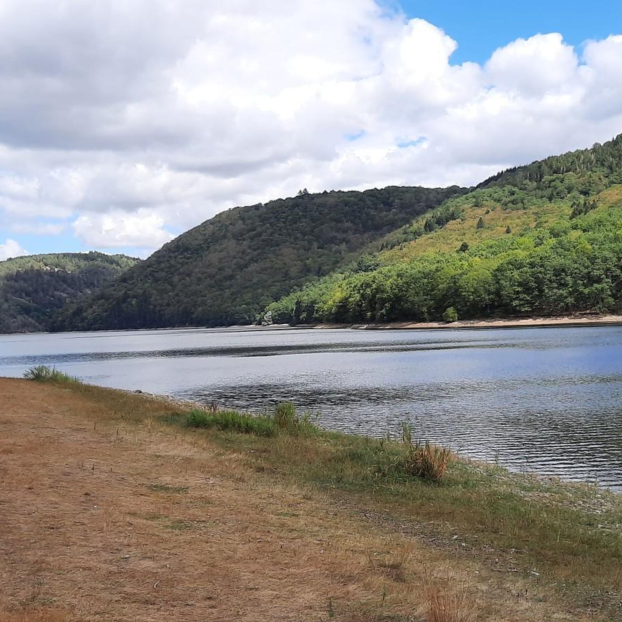

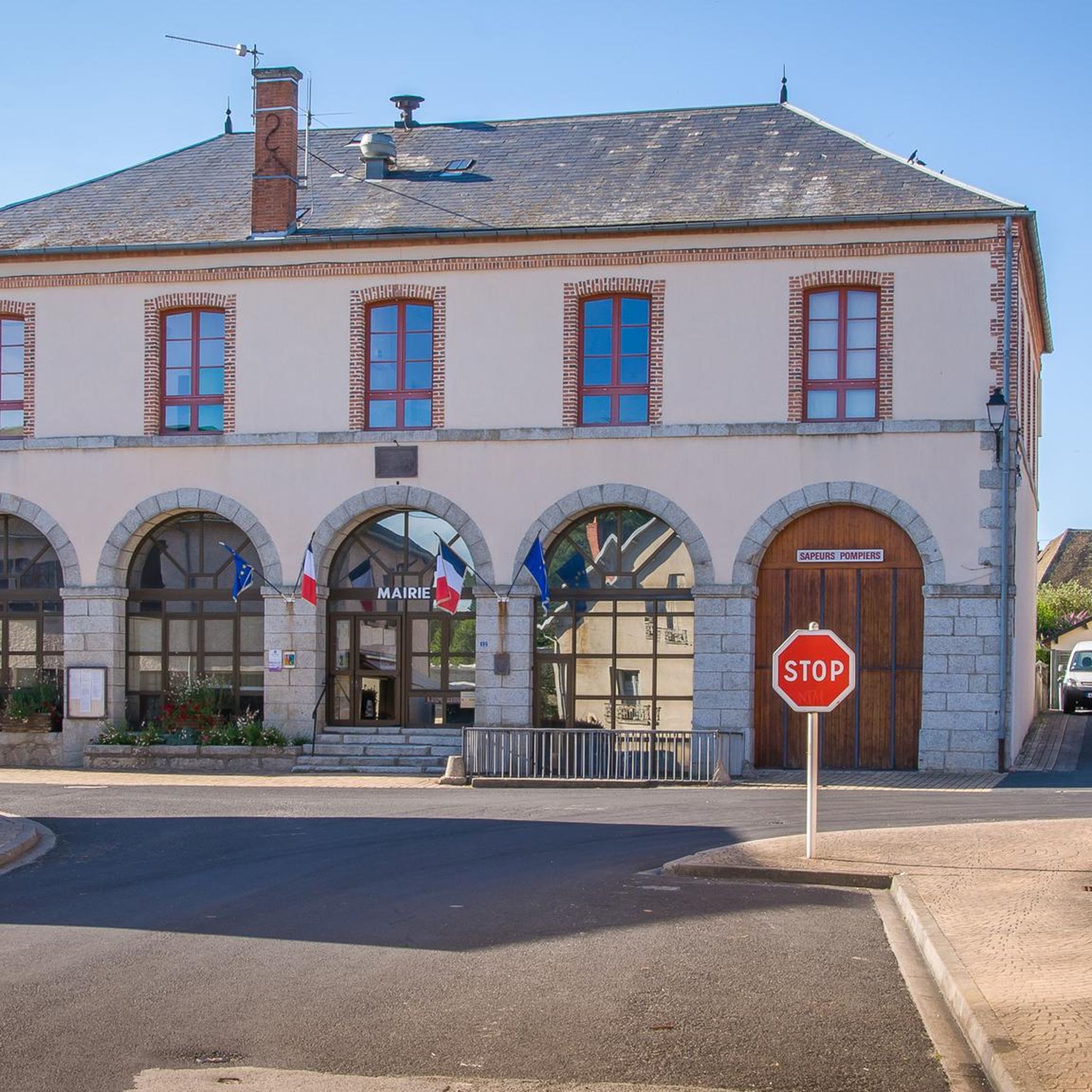
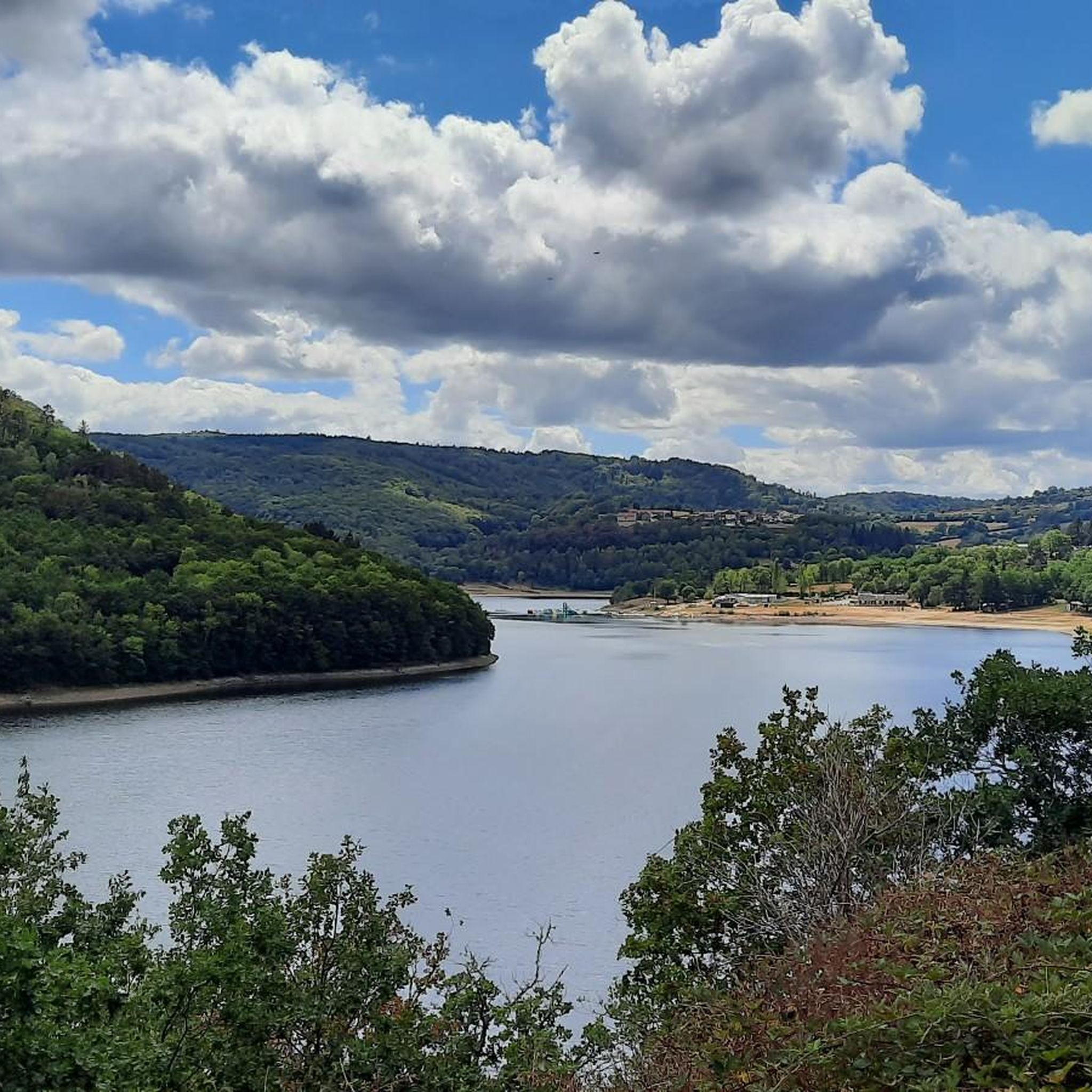
Tips from the Community

At this time of year, what "calm"! And what beauty!
0
0

"A hike from the town of the commune allows you to reach the waterfall. The Auzelle stream flows into the Chalamont, forming a pretty 10m high waterfall in the woods. Magnificent site! (Combraille Auvergne Tourisme). A beautiful waterfall easily accessible from the road. The path is clean, as are the small wooden bridges. The proposed route is pleasant, in the heart of a small forest, while following the river.
0
0

The Fades viaduct is a very beautiful and very high railway viaduct launched over the Sioule, between the municipalities of Sauret-Besserve, to the north, and Ancizes-Comps, to the south, in the department of Puy-de-Dôme .
1
0
Frequently Asked Questions
What kind of terrain can I expect on mountain bike trails around Montel-De-Gelat?
The region offers a diverse mix of landscapes, including bocage (wooded pastures), high plateaus, deep gorges, winding rivers, and extensive forested areas. You'll find everything from gentle paths through woodlands to more demanding trails along river valleys and across elevated plateaus, often with volcanoes visible in the background.
How many mountain bike trails are available in the Montel-De-Gelat area?
There are 12 mountain bike tours documented around Montel-De-Gelat on komoot. These include 3 easy, 6 moderate, and 3 difficult routes, catering to various skill levels.
Are there any easy mountain bike trails suitable for beginners or a relaxed ride?
Yes, there are easy options. For example, the Étang de Vergne-Labouesse loop from Villossanges is an easy 20.2 km (12.6 miles) path that offers gentle gradients and scenic views around the lake.
What are some challenging mountain bike routes for experienced riders?
For experienced riders seeking a challenge, consider the Étang Gasserot loop from Condat-en-Combraille, a difficult 41.5 km (25.8 miles) trail navigating varied terrain through forests and open landscapes. Another difficult option is the Sioule Reservoir – Viaduc des Fades loop from Laussedat, which covers 43.3 km (26.9 miles) with significant elevation changes.
Are there mountain bike trails that pass by lakes or water features?
Absolutely. The region is known for its numerous ponds and lakes. The L'Étang Neuf loop from Montel-de-Gelat is a moderate 33.6 km (20.9 miles) route that circles the picturesque Étang Neuf. You can also find trails around Étang de Chancelade and Étang de La Ramade.
What kind of natural features or landmarks can I see along the mountain bike trails?
You can discover various natural and man-made landmarks. Trails often lead through river valleys, past picturesque lakes like Étang Neuf, and offer magnificent viewpoints of the Auvergne landscape. You might also encounter historical sites such as the Saint-Mamert Church or the Montel World War I Memorial 1914-1918. The The cascade loop from Les Barsses specifically leads through river valleys and natural features, suggesting waterfalls or cascades.
What do other mountain bikers think about the trails in Montel-De-Gelat?
The mountain bike routes in Montel-De-Gelat are highly rated by the komoot community, with an average score of 4.25 stars from over 7 reviews. Many riders appreciate the varied terrain, from quiet woodlands to open landscapes, and the well-maintained paths.
Is Montel-De-Gelat close to any volcanic landscapes for mountain biking?
While Montel-De-Gelat itself is not directly in the most prominent volcanic areas, it is within a 30-minute drive of the Auvergne Volcanoes Regional Natural Park. This proximity means you can access trails that explore volcanic landscapes, offering unique gradients and panoramic views, adding another dimension to your riding experience.
Are there any circular mountain bike routes in the area?
Yes, many of the trails are designed as loops. Examples include the Étang Gasserot loop from Condat-en-Combraille, the Étang de Vergne-Labouesse loop from Villossanges, and the L'Étang Neuf loop from Montel-de-Gelat, all offering circular routes back to your starting point.
What is the best time of year for mountain biking in Montel-De-Gelat?
The diverse landscapes of the Combrailles region make it suitable for mountain biking across multiple seasons. Spring and autumn generally offer pleasant temperatures and vibrant scenery. Summer is also popular, especially around the lakes, but can be warmer. Winter riding is possible, though trail conditions may vary with weather.
Are there any specific apps or resources to help navigate the trails?
The 'Combrailles balades et randonnées' application is a useful resource for exploring the wider Combrailles region. It provides guidance and details points of interest related to heritage, fauna, and flora along the trails, which can enhance your mountain biking experience.
Most popular attractions around Montel-De-Gelat

Get inspired with the komoot mobile app


Explore more
Browse the best MTB trails in other regions.
