The best gravel rides around Chapareillan
5.0
(6)
37
riders
19
rides
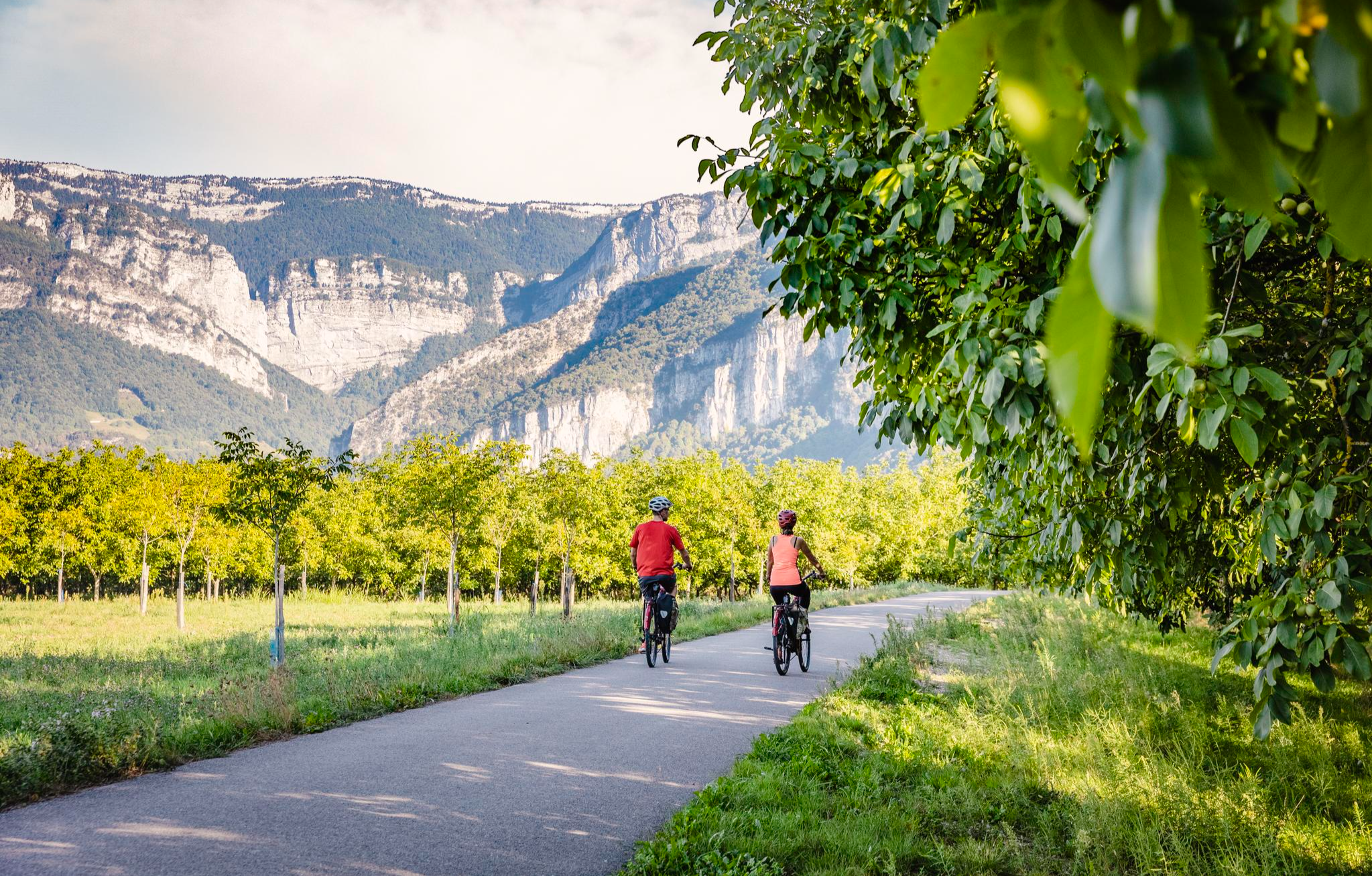
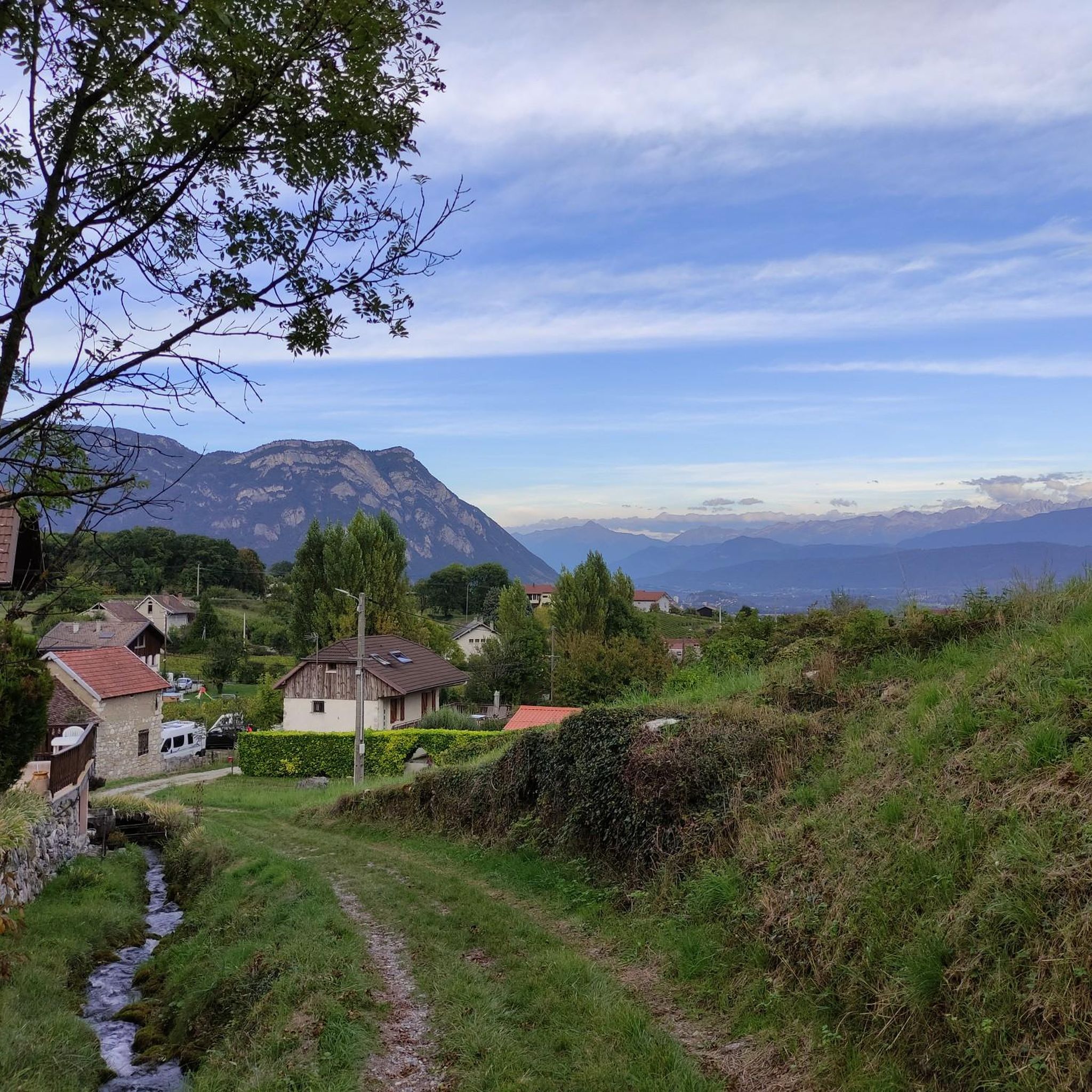
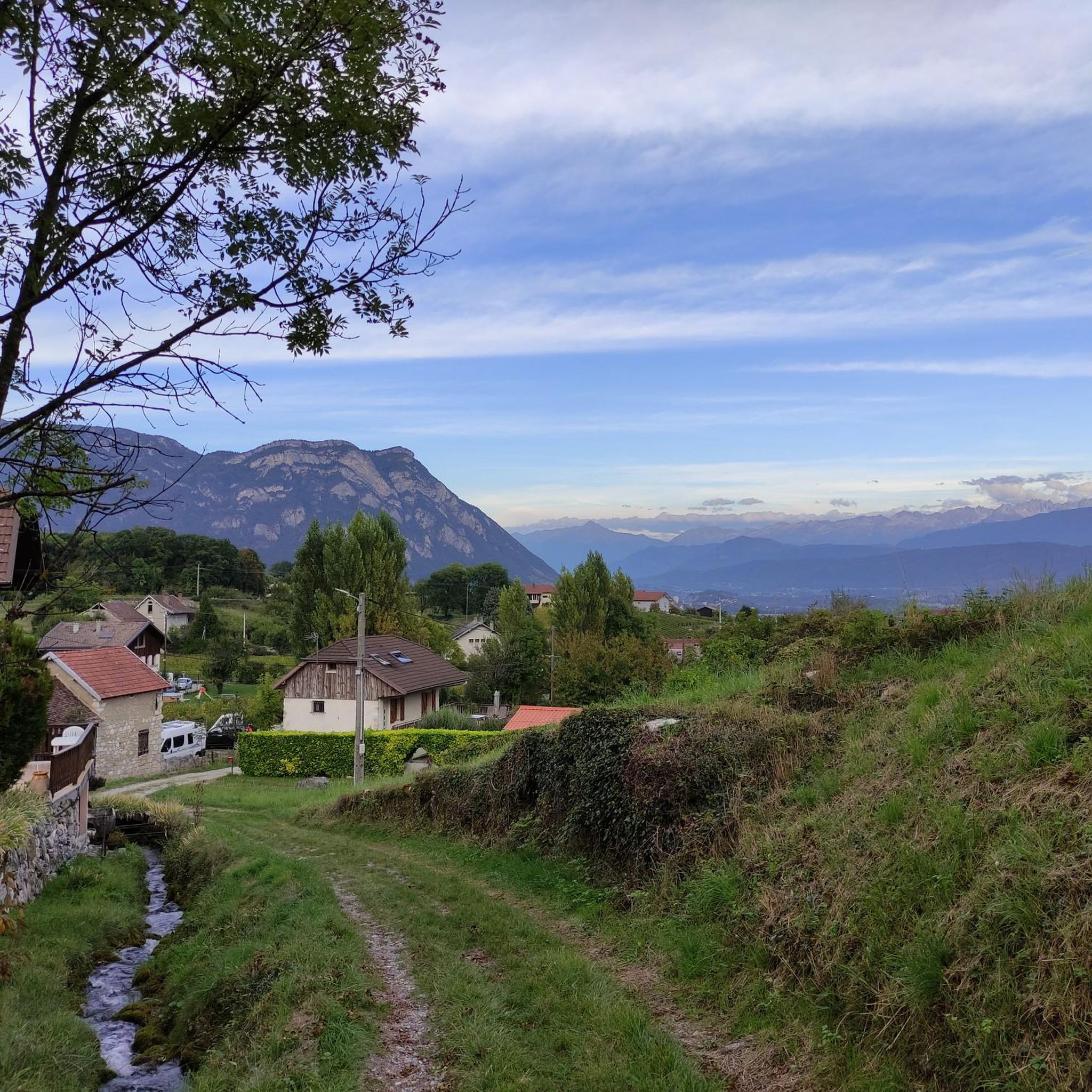
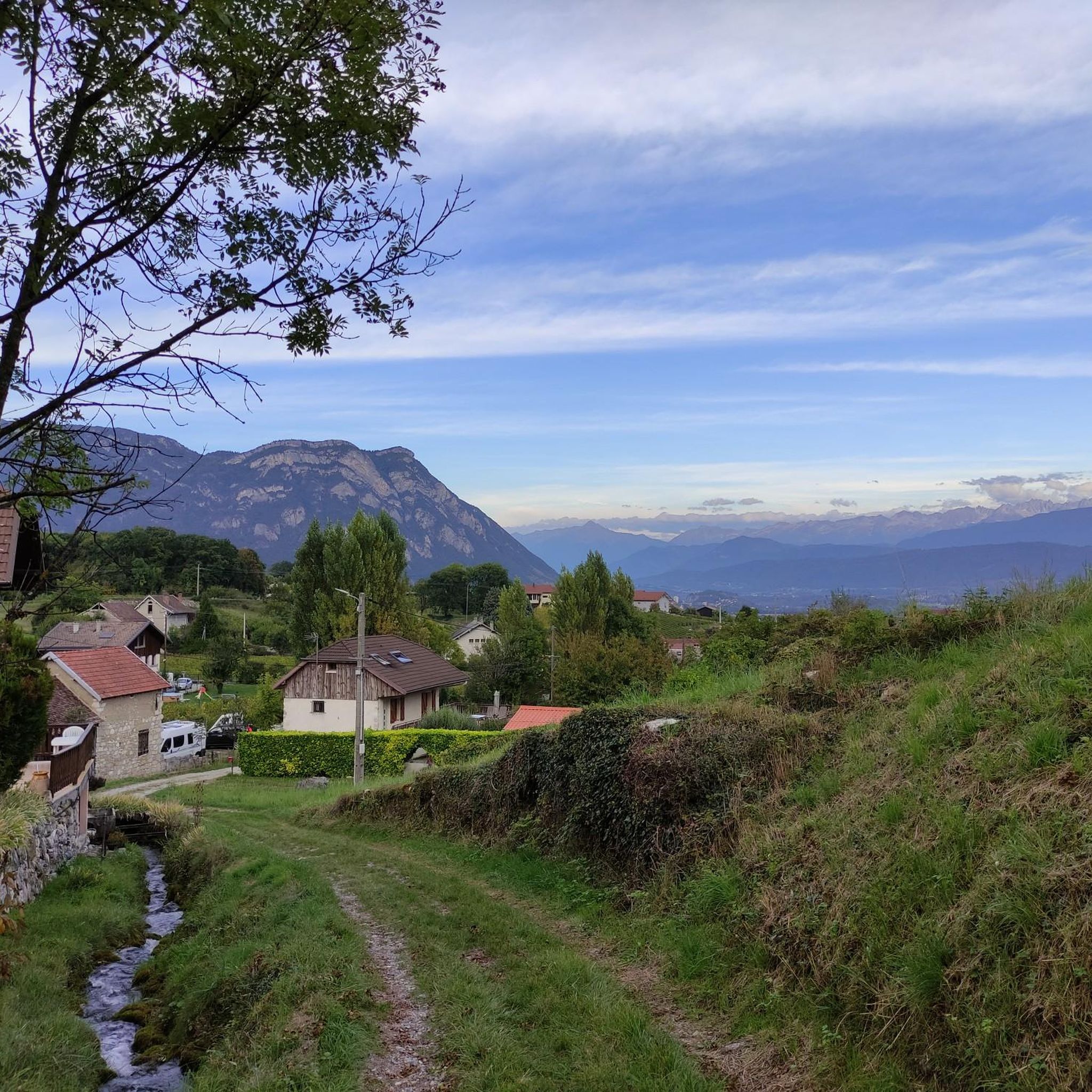
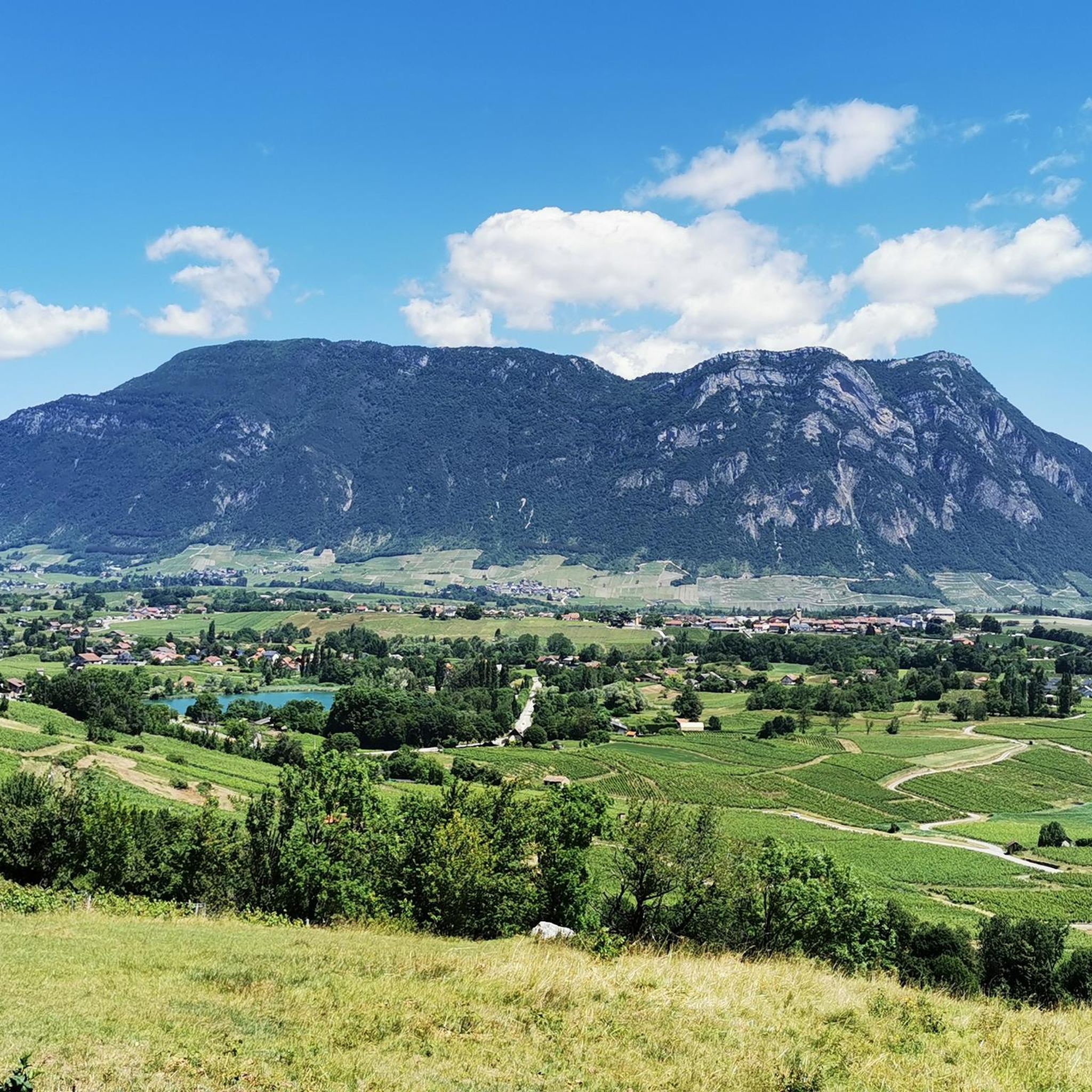
Gravel biking around Chapareillan offers diverse landscapes at the foot of the Chartreuse nature reserve and within reach of the Chartreuse massif. The region features a mountainous environment with limestone cliffs, dense forests, and verdant valleys, extending from the Isère riverbanks to mountain altitudes. Terrain suitable for gravel biking includes varied surfaces, forest paths, and agricultural tracks, providing options for exploration.
Best gravel bike trails around Chapareillan
- The most popular gravel bike trail is Des Lônes Pond – Lake Lône…
Last updated: July 14, 2026
12
riders
45.4km
03:20
1,110m
1,110m
Hard gravel ride. Very good fitness required. You may need to push your bike for some segments of this route.
7
riders
28.8km
01:57
560m
570m
Hard gravel ride. Very good fitness required. Mostly paved surfaces. Suitable for all skill levels.

Sign up for free
5.0
(2)
5
riders
31.8km
01:58
270m
270m
Moderate gravel ride. Good fitness required. Mostly paved surfaces. Suitable for all skill levels.
5.0
(1)
9
riders
28.2km
01:32
60m
60m
Easy gravel ride. Great for any fitness level. Mostly paved surfaces. Suitable for all skill levels.
5.0
(3)
4
riders
27.7km
01:38
240m
250m
Moderate gravel ride. Good fitness required. Mostly paved surfaces. Suitable for all skill levels.
Get access to more routes and recommendations from other explorers.
Sign up for free
Already have an account?
Our route recommendations are based on thousands of hikes, rides, and runs completed by other people on komoot.
Start today with a free account
Your next adventure awaits.
Login or Signup
Other adventures around Chapareillan

Tips from the Community

Divided village, Savoie and Isère, as well as churches and restaurants.
2
0
Great landscape, easy climb, quite a lot of traffic.
2
0
Unfortunately unpaved cycle path, but beautiful landscape, partly views of the Chartreuse.
3
0
Small street, beautiful views.
2
0
Unpaved cycle path Via Chartreuse
2
0
Small pass in the Chartreuse, beautiful views and relatively quiet road.
2
0

Very beautiful hamlet, which notably opens up the view of the Bauges in the background. The road that allows access from Allevard is very accessible.
0
0
Frequently Asked Questions
How many gravel biking routes are available around Chapareillan?
There are over 25 gravel biking routes around Chapareillan, offering a wide range of options for different skill levels. The region is highly rated by the komoot community, with an average score of 4.8 stars from more than 10 reviews.
What kind of terrain can I expect on gravel bike trails near Chapareillan?
The terrain around Chapareillan is diverse, featuring a mix of dramatic limestone cliffs, dense forests, and verdant valleys. You'll encounter varied surfaces, including forest, agricultural, and DFCI paths, as well as tracks and trails. Some routes, particularly those traversing mountain passes, may include challenging climbs and mixed paved and unpaved sections.
Are there any family-friendly gravel biking routes in the area?
Yes, there are options suitable for families. Routes like the Des Lônes Pond – Lake Lône loop from Le Cheylas offer a moderate ride around local ponds and lakes, which can be enjoyable for a family outing. This route is 17.5 miles (28.2 km) long with minimal elevation gain.
What are some challenging gravel routes for experienced riders?
For experienced riders seeking a challenge, the Lake Saint-André – Granier Pass loop from Saint-Baldoph is a difficult 28.8 miles (46.4 km) path. This route includes significant elevation gain as it traverses the Granier Pass, offering rewarding mountain views and demanding climbs.
Are there any gravel bike trails that are loop routes?
Yes, many of the gravel biking routes around Chapareillan are designed as loops. Examples include the Des Lônes Pond – Lake Lône loop from Le Cheylas and the Bike path – View of Château de Miolans loop from Pontcharra-sur-Bréda - Allevard, which offers varied terrain and scenic views.
What natural attractions can I see along the gravel bike trails?
The region is rich in natural beauty. You can explore stunning waterfalls like the Saint-Même Cirque Waterfalls, the Gouille Waterfall, or the The Alloix Waterfalls. Many routes also pass by beautiful lakes such as Lake Saint-André, and offer views of the Chartreuse Massif.
Are there any historical landmarks or points of interest along the routes?
While the focus is on natural landscapes, some routes offer glimpses of historical sites. For instance, the Bike path – View of Château de Miolans loop from Pontcharra-sur-Bréda - Allevard provides views of Château de Miolans. You might also encounter other local landmarks like Fort Barraux on routes such as the Fort Barraux – Confluence du Bresson loop from Le Touvet.
What is the best time of year for gravel biking in Chapareillan?
The region is generally excellent for outdoor activities. Spring and autumn offer pleasant temperatures and vibrant scenery. Summer is also suitable, though some higher elevation routes might be warmer. Winter conditions can vary, with snow possible in the Chartreuse Massif, so it's best to check local weather and trail conditions before heading out during colder months.
Where can I find parking for gravel biking trailheads?
Many routes start from towns or villages like Le Cheylas, Saint-Baldoph, or Pontcharra-sur-Bréda - Allevard, where public parking is typically available. Specific parking details for each trailhead can often be found on the individual route pages on komoot.
Are there any routes that pass through vineyards?
Yes, the region around Chapareillan includes the vineyards of Apremont. While specific gravel routes through these vineyards aren't highlighted, the area offers a different, potentially gentler, cycling landscape compared to the more rugged mountain passes, providing varied scenery for exploration.
What is the average duration of gravel bike rides in Chapareillan?
The duration of rides varies significantly depending on the route's length and difficulty. For example, a moderate route like the Des Lônes Pond – Lake Lône loop from Le Cheylas typically takes around 2 hours 9 minutes, while a longer, more challenging route such as the Bike path – View of Château de Miolans loop from Pontcharra-sur-Bréda - Allevard can take about 4 hours 42 minutes.
Can I find routes with significant elevation gain for a workout?
Absolutely. The Chartreuse Massif and its foothills provide ample opportunities for challenging climbs. The Lake Saint-André – Granier Pass loop from Saint-Baldoph, for instance, features over 1100 meters of elevation gain, making it an excellent choice for a demanding workout with rewarding mountain views.
Most popular routes around Chapareillan
Most popular attractions around Chapareillan

Get inspired with the komoot mobile app


Explore more
Browse the best Gravel rides in other regions.
