The best running trails around Silanos/Silanus
5.0
(1)
15
runners
3
runs
Jogging routes Silanos Silanus offer diverse terrain for runners of all levels. The region, located in the province of Nuoro, Italy, features undulating landscapes with varying elevation gains. Many running paths incorporate historical exploration, leading to significant archaeological sites. The area provides a mix of mostly paved surfaces and more varied terrain, suitable for different fitness requirements.
Best jogging routes around Silanos/Silanus
- The most popular jogging route is Running loop from Sèdilo/Sedilo, a 2.4 miles (3.8 km) trail that…
Last updated: June 25, 2026
5
runners
3.85km
00:25
40m
40m
Easy run. Great for any fitness level. Mostly paved surfaces. Suitable for all skill levels.
5.0
(1)
4
runners
15.1km
01:36
210m
210m
Hard run. Very good fitness required. Mostly paved surfaces. Suitable for all skill levels.

Sign up for free
3
runners
5.25km
00:35
120m
120m
Moderate run. Good fitness required. Mostly paved surfaces. Suitable for all skill levels.
2
runners
5.56km
00:39
90m
90m
Moderate run. Good fitness required. Mostly paved surfaces. Suitable for all skill levels.
1
runners
9.11km
01:09
270m
270m
Moderate run. Good fitness required. Mostly paved surfaces. Suitable for all skill levels.
Our route recommendations are based on thousands of hikes, rides, and runs completed by other people on komoot.
Start today with a free account
Your next adventure awaits.
Login or Signup
Tips from the Community

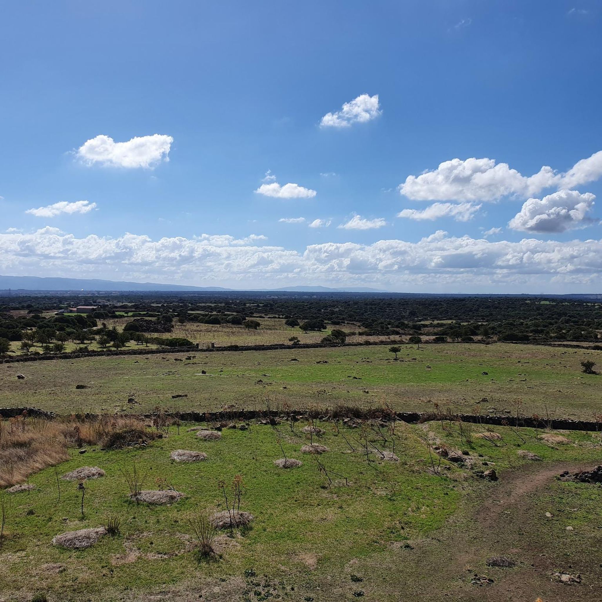
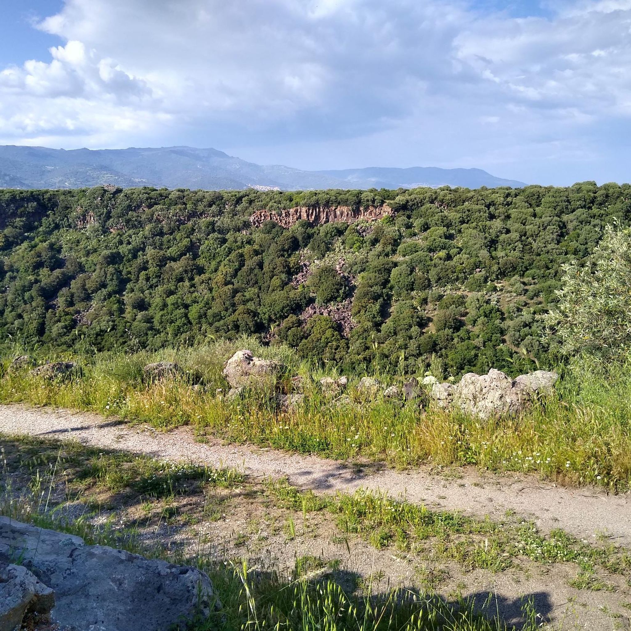
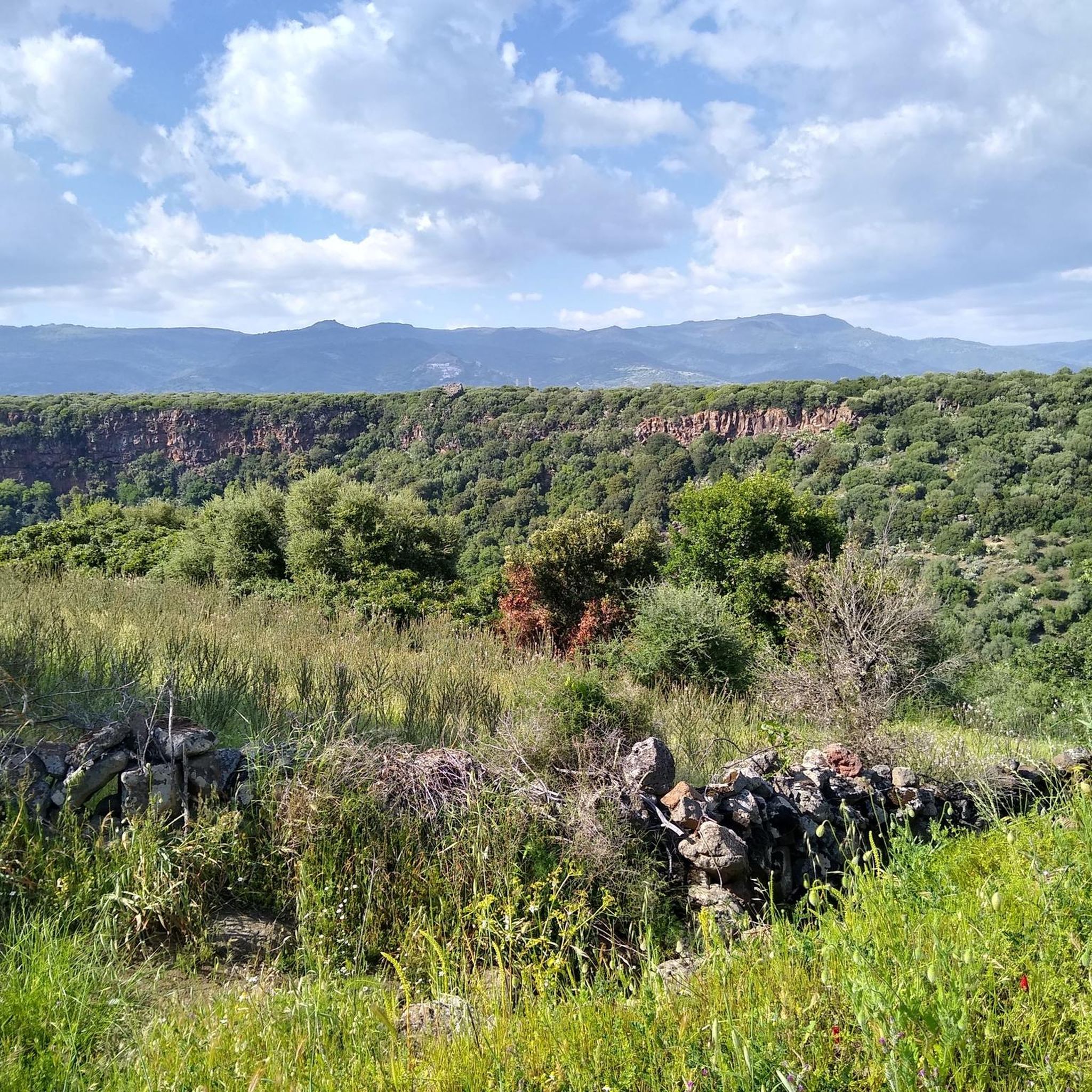
The Tamuli di Macomer form a Nuragic archaeological complex, dating back to the Middle Bronze Age (1500-1200 BC). The peculiarity of the site are the six betyls, conical anthropomorphic stones, three with mamellar shapes and three smooth.
0
0

Nuragic complex dating back to the Bronze Age. It is famous for its "bétili", i.e. conical basalt monoliths arranged in the funerary area of the archaeological site.
1
0

Frequently Asked Questions
How many running routes are available around Silanos/Silanus?
You'll find a good selection of running routes around Silanos/Silanus, catering to various fitness levels. Our guide features several curated options, from easy loops to more challenging runs, allowing you to explore the region's diverse landscapes.
Are there easy jogging routes suitable for beginners in Silanos/Silanus?
Yes, there are easy options perfect for beginners or those looking for a relaxed run. For instance, the Running loop from Sèdilo/Sedilo is an easy route covering just under 4 km with minimal elevation gain, making it a great starting point.
Can I find running routes that pass by historical sites or landmarks?
Absolutely! Silanos/Silanus is rich in history. You can combine your run with a visit to ancient sites like the Nuragic complex. Consider the Nuragic Site of Tamuli – Tamuli Archaeological Site loop from Macomer, which takes you past distinctive conical anthropomorphic stones. Another option is the Running loop from Ortachis Circoli Megalitici Stone Circle, offering a glimpse into the region's megalithic past.
Are there any circular running routes in the area?
Many of the running trails around Silanos/Silanus are designed as convenient circular loops. Examples include the Running loop from Sèdilo/Sedilo, the Running loop from Otzana/Ottana, and the Running loop from Ortachis Circoli Megalitici Stone Circle, allowing you to start and finish at the same point.
What kind of terrain can I expect on the running trails?
The terrain varies, offering a mix of experiences. You'll find routes with mostly paved surfaces, ideal for a smoother run, as well as more varied terrain with undulating paths. Some trails feature significant elevation changes, providing a good workout and diverse landscapes.
Are there any running routes that pass by natural features like waterfalls?
While not directly on every running route, the region does boast beautiful natural features. The Riu Ilde Waterfall is a notable natural monument in the vicinity that you could explore as part of a longer outing or a separate visit.
What do other runners enjoy most about jogging in Silanos/Silanus?
The running routes around Silanos/Silanus are highly regarded by the komoot community, with an average rating of 5.0 stars. Runners often praise the opportunity to combine physical activity with exploring the region's unique historical sites and varied landscapes.
Are the running trails in Silanos/Silanus suitable for families?
Yes, some routes are suitable for families, especially the easier, shorter loops with less elevation gain. These provide a great way for families to enjoy the outdoors together. Always check the route details for distance and difficulty to ensure it matches your family's capabilities.
Can I bring my dog on the running trails?
Many outdoor trails in Sardinia are dog-friendly, but it's always best to check local regulations or specific route details. Generally, if your dog is well-behaved and kept on a leash, you should be able to enjoy most trails together. Remember to carry water for both yourself and your pet.
Is there public transport access to any of the running routes?
While specific public transport links directly to trailheads might be limited, Silanos/Silanus is a small town. You may find local bus services connecting to nearby villages from which some routes start. It's advisable to check local bus schedules for the Nuoro province if you plan to rely on public transport.
Where can I park if I drive to a trailhead?
Parking availability can vary by trailhead. For routes starting from towns like Macomer or Otzana/Ottana, you'll typically find parking within the village. For routes beginning at specific archaeological sites or natural landmarks, there are often designated parking areas. Always look for local signage or check route descriptions for specific parking advice.
Are there any longer, more challenging running options for experienced runners?
Yes, for those seeking a more rigorous workout, there are challenging paths. The Nuragic Site of Tamuli – Tamuli Archaeological Site loop from Macomer, for example, is a difficult 15 km route with over 200 meters of elevation gain, demanding good fitness and sure-footedness.
Can I find routes with good viewpoints for scenic breaks?
The undulating terrain around Silanos/Silanus often provides scenic vistas. While not explicitly listed as a viewpoint route, the Punta Palai loop from Ortachis Circoli Megalitici Stone Circle offers significant elevation changes, suggesting opportunities for panoramic views, especially around Punta Palai itself.
Most popular routes around Silanos/Silanus
Most popular attractions around Silanos/Silanus

Get inspired with the komoot mobile app


Explore more
Browse the best Running Trails & Routes in other regions.
