The best walks and hikes around Candidoni
3.9
(17)
79
hikers
8
hikes
Hiking around Candidoni offers access to the mountainous terrain at the foot of the Serre Mountains, characterized by varied elevations and hilly landscapes. The region provides panoramic views of the Tyrrhenian Sea and the valleys formed by the Mesima, Metramo, and Petrace rivers. This area features a tranquil rural setting with an agricultural landscape. Trails often lead through olive groves and forested areas, providing diverse hiking experiences.
Best hiking trails around Candidoni
- The most popular hiking route is Caroniti Village…
Last updated: June 25, 2026
4.0
(2)
19
hikers
9.92km
03:36
620m
620m
Moderate hike. Good fitness required. Easily-accessible paths. Suitable for all skill levels.
3.0
(1)
11
hikers
4.69km
01:34
220m
220m
Easy hike. Great for any fitness level. Easily-accessible paths. Suitable for all skill levels.

Sign up for free
5.0
(1)
7
hikers
7.43km
02:14
210m
210m
Moderate hike. Good fitness required. Easily-accessible paths. Suitable for all skill levels.
9
hikers
8.47km
02:08
10m
10m
Moderate hike. Good fitness required. Easily-accessible paths. Suitable for all skill levels.
4.0
(4)
5
hikers
Moderate hike. Good fitness required. Easily-accessible paths. Suitable for all skill levels.
Get access to more routes and recommendations from other explorers.
Sign up for free
Already have an account?
Our route recommendations are based on thousands of hikes, rides, and runs completed by other people on komoot.
Start today with a free account
Your next adventure awaits.
Login or Signup
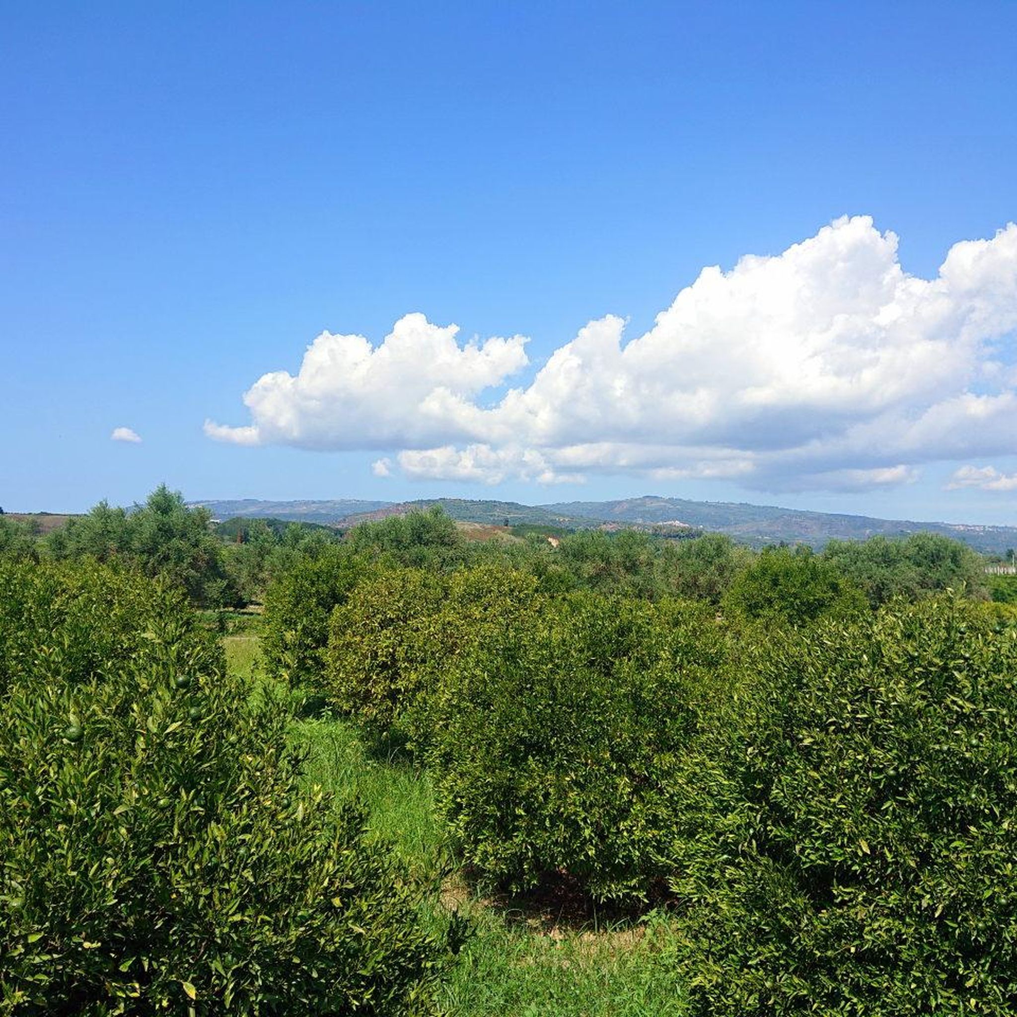
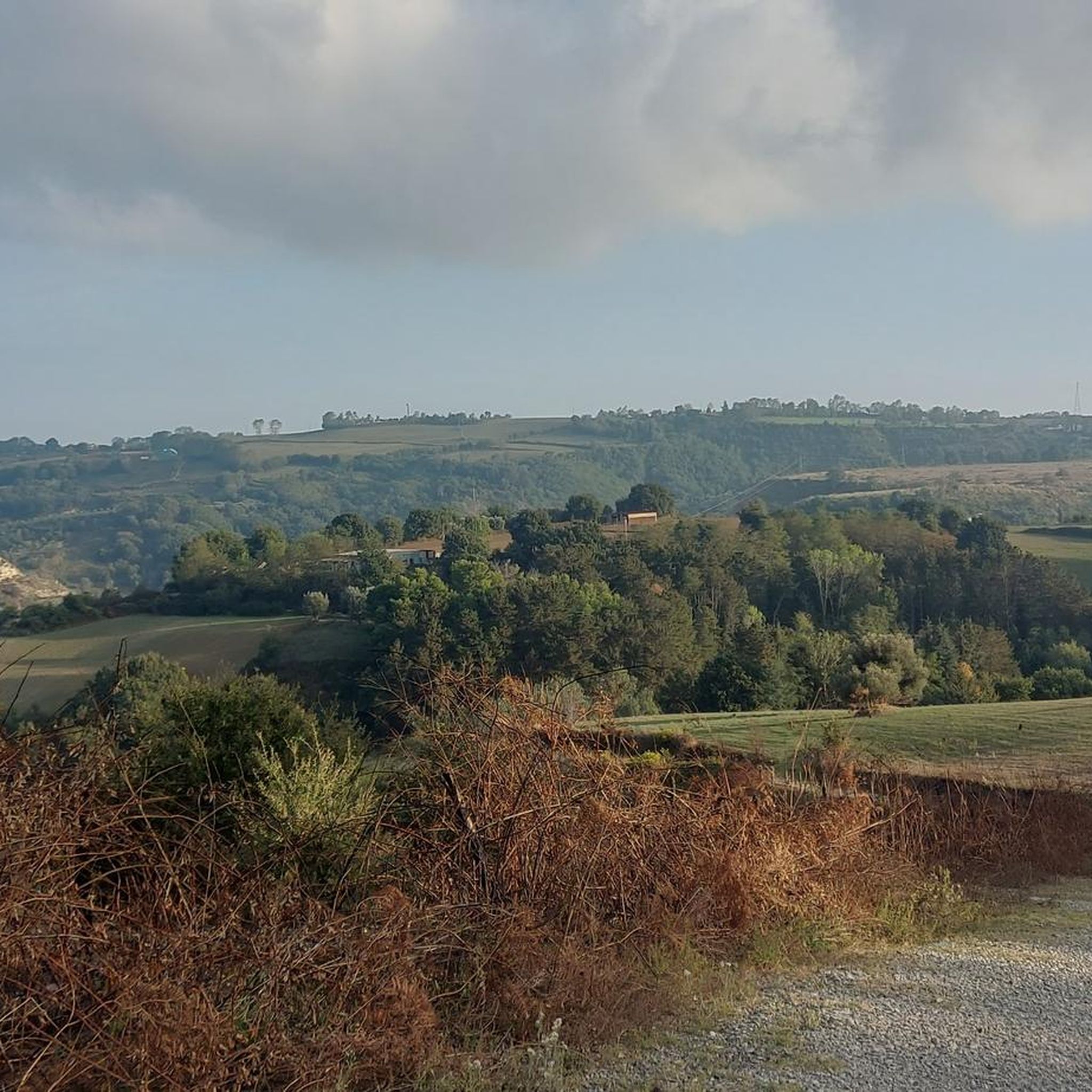

Tips from the Community

A small shop with really big bell peppers and the famous large, red onions.
0
0
End of April 2026, no umbrellas opened yet.
0
0
Magnificent view of the "Coast of the Gods"
0
0
At the end of April 2026, there were no umbrellas set up here yet. Nevertheless, a beautiful alley.
0
0

Great food, great desserts, spectacular views, little streets and alleys to discover. What more could you want?
1
0
Visit Nicotera, calmly, one of the most beautiful villages in Italy.
1
0
Nicotera Alta is worth a visit... Going down. The old part is located below and among the alleys a thousand surprises. You start from the old Jewish quarter and then end up at Porta Palmentieri, one of the last old entrances to the village, still standing... Try it and believe it.
1
0
the trick is to start from the balcony behind the Castle, go down under the walls and enter the ancient part of the village. Arriving at Porta Palmentieri, with its spectacular view and starting the climb again, passes through streets and alleys. Seeing is believing.
1
0
Frequently Asked Questions
What kind of hiking experience can I expect in Candidoni?
Hiking around Candidoni offers a diverse experience, characterized by mountainous terrain at the foot of the Serre Mountains. You'll find varied elevations, hilly landscapes, and panoramic views of the Tyrrhenian Sea and the valleys formed by the Mesima, Metramo, and Petrace rivers. The area has a tranquil rural setting with an agricultural landscape, often leading through olive groves and forested areas.
Are there easy hiking trails suitable for families or beginners?
Yes, Candidoni offers several easy routes. For a gentle walk through historic village streets and cultural points, consider the Nicotera Jewish Quarter – Umbrella Alley, Nicotera loop from Nicotera. This 4.7 km trail is generally completed in about 1 hour 35 minutes and is rated as easy.
Are there any challenging hikes in the Candidoni area?
While there are no routes rated as 'difficult' in the immediate guide data, some moderate trails feature significant elevation changes. For instance, the Caroniti Village and Church – Monte Poro Water Fountain loop from Joppolo is a 13.6 km route with substantial ascents and descents, requiring a healthy basic condition. Regionally, ascents to places like Caroniti Village can have steep gradients of 10-20%.
What are some notable landmarks or attractions I can see while hiking?
The region around Candidoni is rich in history and natural beauty. You can explore the historic Caroniti Village and Church, or wander through Nicotera's Historic Alleys and Archways, including the popular Umbrella Alley, Nicotera. The Nicotera Marina loop from Nicotera Beach Village offers coastal views.
Are there any circular hiking routes available?
Yes, many of the trails in the Candidoni area are designed as loops. Examples include the Caroniti Village and Church – Monte Poro Water Fountain loop from Joppolo, which takes you through rural landscapes, and the Nicotera Jewish Quarter – Umbrella Alley, Nicotera loop from Nicotera, offering a cultural village experience.
What do other hikers say about the trails in Candidoni?
The trails in Candidoni are highly rated by the komoot community, with an average score of 4.3 stars from more than 10 reviews. Hikers often praise the varied terrain, panoramic sea views, and the tranquil rural atmosphere. Over 80 hikers have used komoot to explore the area's diverse routes.
Are the hiking trails in Candidoni well-marked?
Based on regional information, paths in the broader Candidoni area are generally easy to navigate and are often marked with yellow and red stripes, making it straightforward to follow the routes.
Are there water points available along the trails?
Yes, some routes in the region, particularly those leading to higher elevations, include convenient water points along the way, which can be useful for cooling down during your hike.
What is the best time of year to go hiking in Candidoni?
Candidoni, being in Southern Italy, generally offers pleasant hiking conditions for much of the year. Spring and autumn are ideal, with milder temperatures. Summer can be hot, but early mornings or late afternoons are still suitable, especially for coastal or shaded routes. Winter offers a different charm, though some higher elevation trails might be cooler.
Is there public transport available to reach hiking trailheads near Candidoni?
While Candidoni itself is a smaller comune, public transport options in the broader Metropolitan City of Reggio Calabria might connect to larger towns like Nicotera, which serves as a starting point for some trails. However, for direct access to many trailheads, especially in more rural or mountainous areas, personal transport is often more convenient.
Are there any trails that offer coastal views?
Yes, the region's elevated position provides splendid views of the Tyrrhenian Sea. Specifically, the Nicotera Marina loop from Nicotera Beach Village is a moderate 8.5 km path that offers direct coastal views and passes through the marina area.
Can I find places to eat or drink near the hiking areas?
Candidoni and nearby historic villages like Nicotera offer opportunities to experience local culture, flavors, and traditions. While specific cafes or pubs directly on trailheads might be limited, exploring the villages in the hinterland will provide options for local cuisine and refreshments.
Most popular routes around Candidoni
Most popular attractions around Candidoni

Get inspired with the komoot mobile app


Explore more
Browse the best Hikes in other regions.
