The best gravel rides in Mesa County
4.0
(2)
43
riders
5
rides
If you've ever tried to plan gravel biking in Mesa County, you know how quickly the sheer number of options can feel overwhelming. It's tough to tell which routes are genuinely worth your time and effort, and which are just filler. That's where we come in. Our komoot community has ridden, mapped, and reviewed countless routes across the region, and we're here to save you the guesswork and point you directly to the best gravel bike trails Mesa County has…
Last updated: May 27, 2026
5.0
(1)
7
riders
31.5km
03:01
270m
270m
The Utah Border Sign – Utah Border Marker loop from Mack offers a deep dive into the unique desert landscapes of the Colorado-Utah border, characterized by vast, open vistas and…
20
riders
30.7km
02:02
170m
170m
Moderate gravel ride. Good fitness required. Mostly paved surfaces. Suitable for all skill levels.

3
riders
47.3km
04:37
430m
430m
The Utah Border Sign – Utah Border Marker loop from Mack offers a true taste of remote gravel biking, taking you through vast desert landscapes with unique rock formations and…
3.0
(1)
2
riders
20.9km
01:35
390m
390m
Moderate gravel ride. Good fitness required. Mostly paved surfaces. Suitable for all skill levels.
9
riders
Moderate gravel ride. Good fitness required. Mostly paved surfaces. Suitable for all skill levels.
Our route recommendations are based on thousands of hikes, rides, and runs completed by other people on komoot.
Start today with a free account
Your next adventure awaits.
Popular around Mesa County
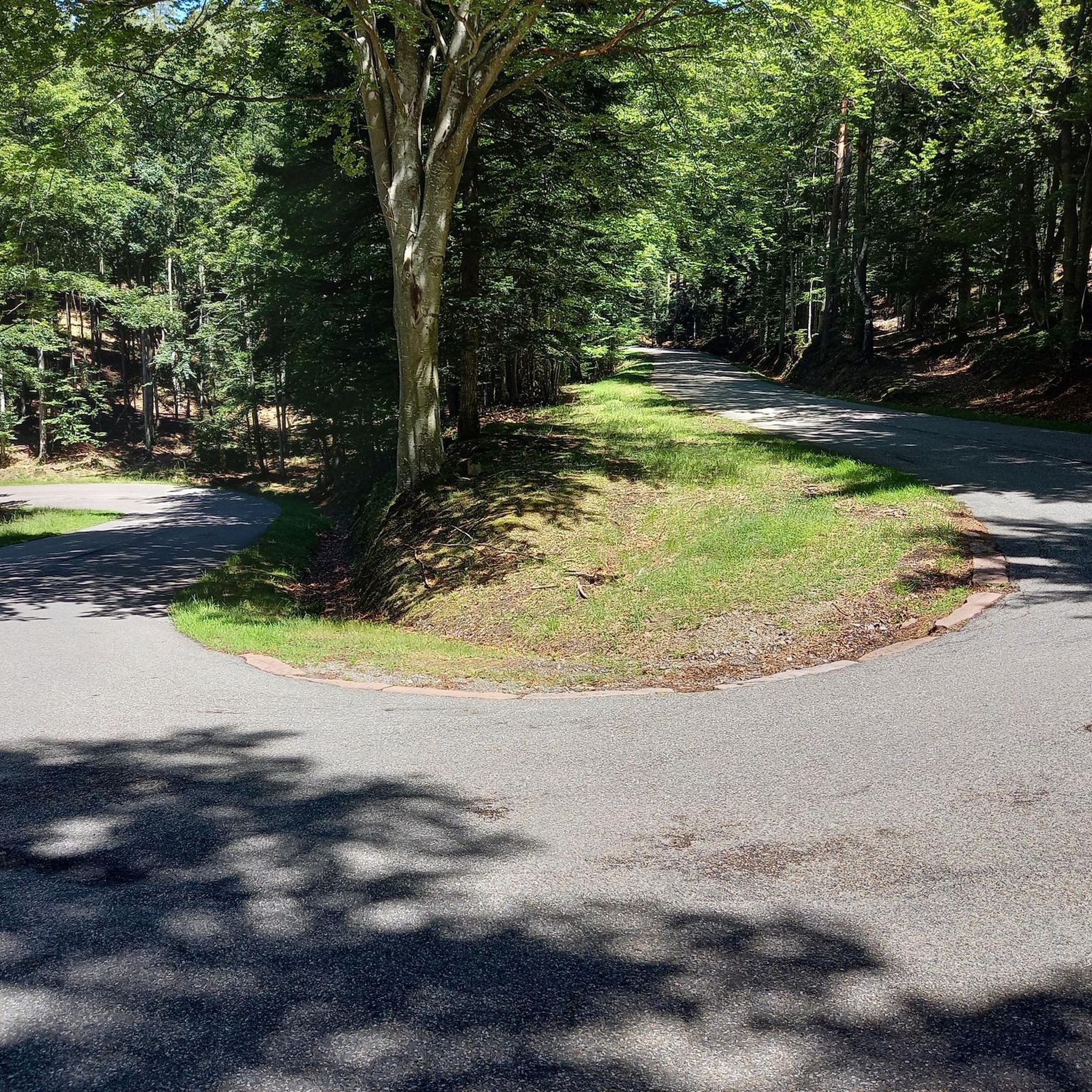
Gravel biking in the Grand Mesa

Gravel biking in the Uncompahgre Plateau

American Discovery Trail — Walking from sea to shining sea
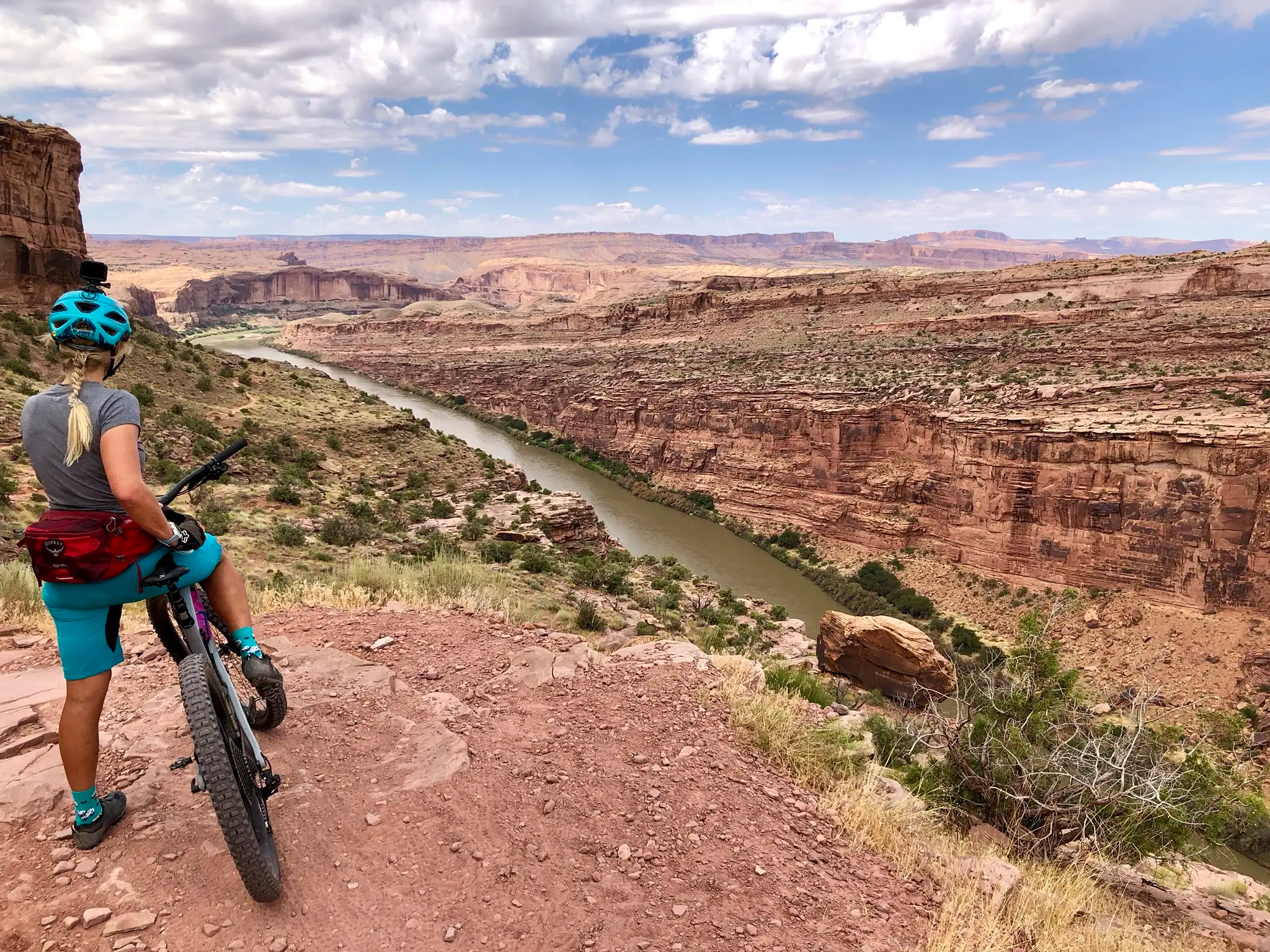
Kokopelli's Trail — Biking a legend’s trail across the desert

American Discovery Trail — Riding coast to coast

From the mountain peaks to the prairie – Rocky Mountains and Great Plains
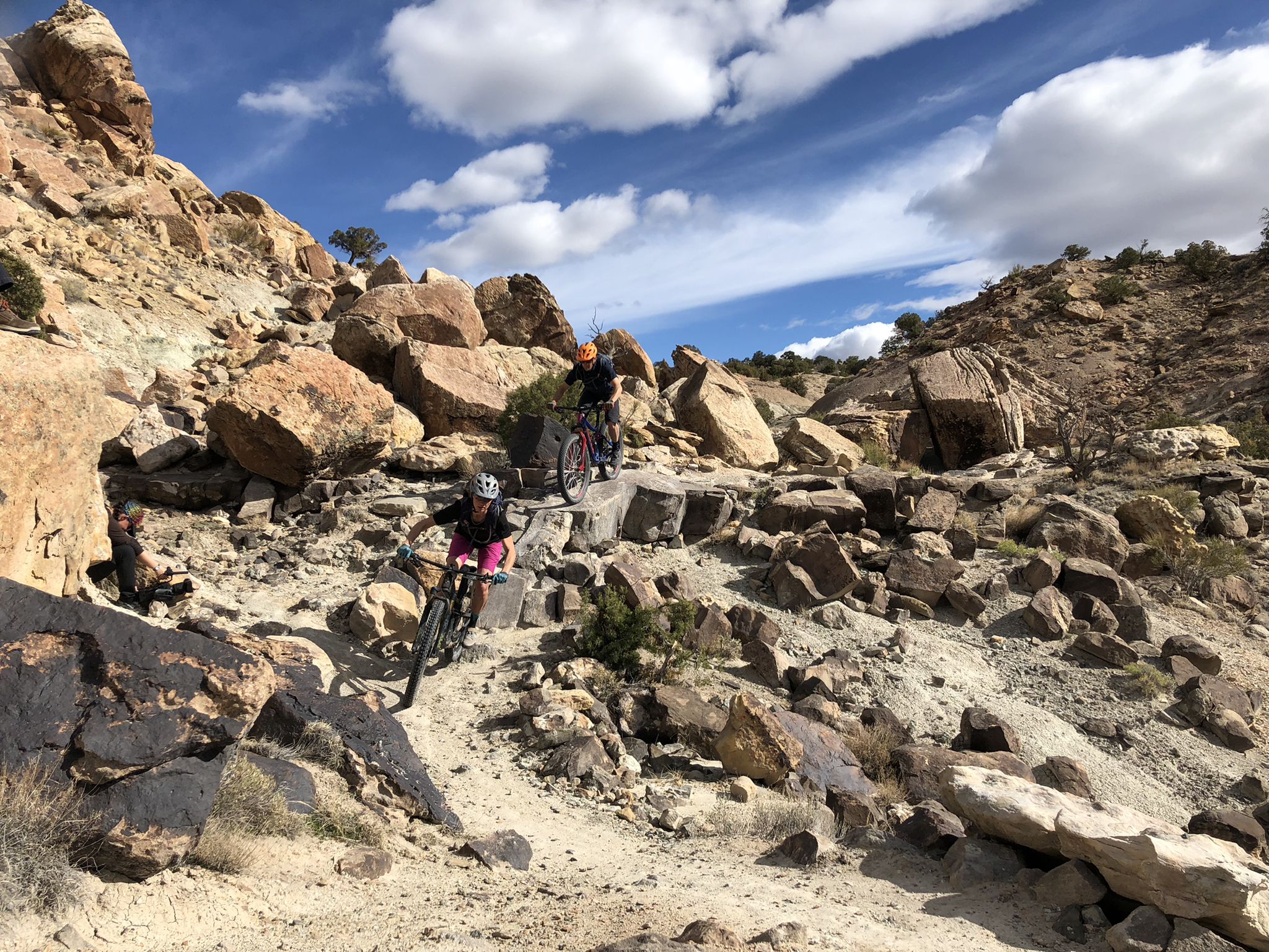
World-class desert trails in the Grand Valley
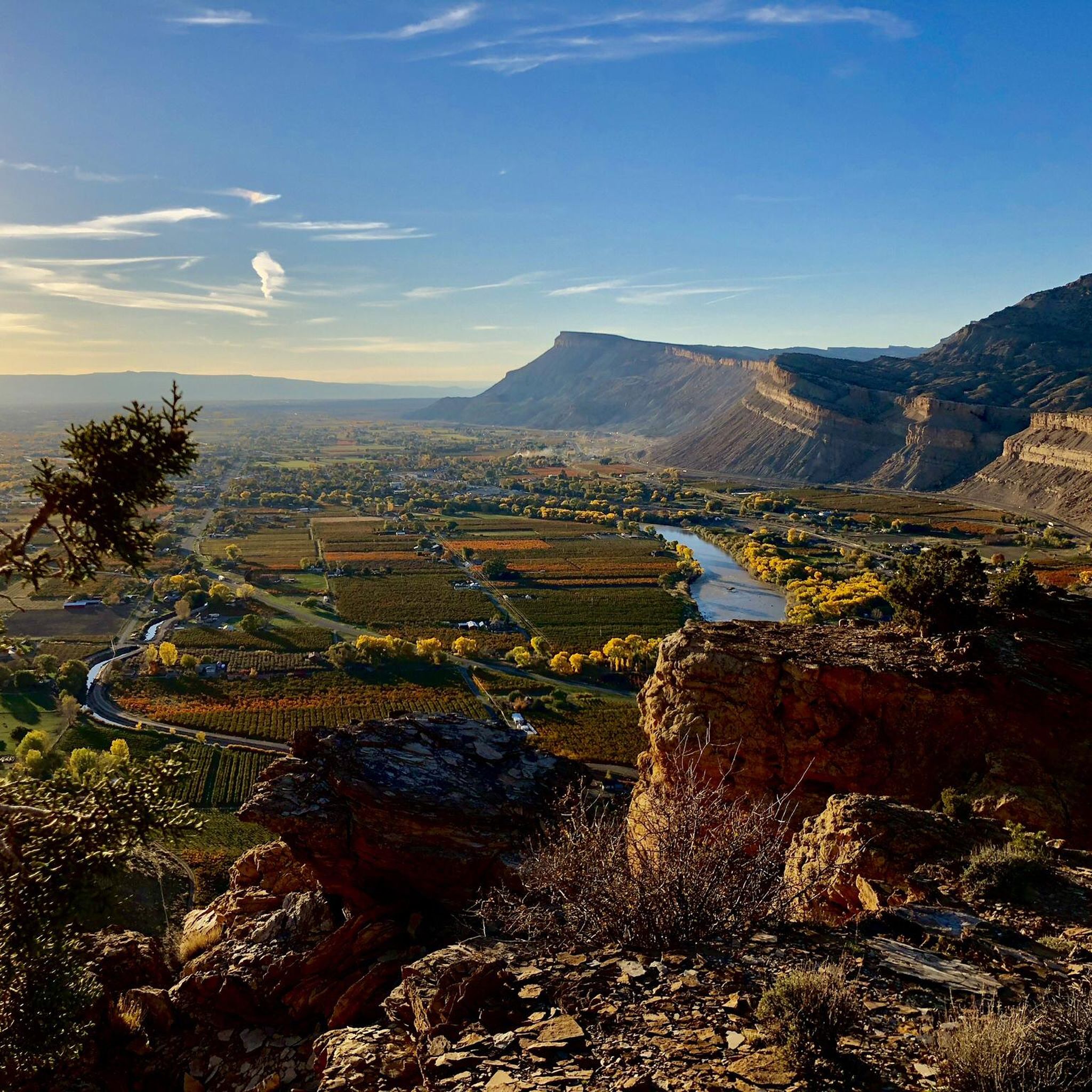
Hiking in Mesa County
Cycling in Mesa County
MTB Trails in Mesa County
Other adventures in Mesa County


Tips from the Community

Several fantastic mountain bike loops crisscross the area. These are easily accessible from the trailhead.
2
0

With over 100 years and five generations, you can bet your bottom dollar this farm can make a mean cider! This fruit market has local produce, processed fruits, jams, and honey!
0
0

The Hawkeye Trailhead is a parking lot without extra facilities (e.g. no toilet facilities at this trailhead). When you park here you start your mountain bike ride with the Hawkeye Trail which is an awesome uphill trail and also a great downhill with lost‘s of optional technical features.
1
0
This point is a pretty popular group ride destination in the area. You can ride the quiet country roads out to the Utah boarder. There only thing really telling you where you are is the spray painted wood sign. The final stretch of road before you get to the boarder isn't paved, but it's not gravel. Just a dilapidated road that has been left to the elements.
0
0
This river crossing is pretty scenic with the water below, the monument looming overhead and the Book cliffs off in the distance.
0
0
Kokopelli's Trailhead is just four miles west of Fruita. Take the Loma exit (#15) to get here. The parking lot has restrooms, but no water facilities. Most of the loop rides start here as well as the infamous Kokopelli Trail that connects Fruita with Moab.
2
0

Frequently Asked Questions
Are there gravel biking routes suitable for beginners in Mesa County?
Yes, Mesa County offers several moderate gravel routes that are suitable for those new to gravel biking. For example, the Kokopelli's Trailhead – Hawkeye Trailhead loop from Fruita is a 18.3-mile (29.4 km) trail that provides a great introduction to the region's terrain without being overly challenging. Another good option is the Talbott's Market loop from Palisade, which covers about 13 miles (20.9 km) through scenic areas.
What are some challenging, long-distance gravel cycling routes in Mesa County?
For experienced riders seeking a significant challenge, Mesa County features routes like the 62.3-mile (100.2 km) Utah Border Sign – Utah Border Marker loop from Mack. This difficult path offers extensive desert views and requires considerable endurance, making it ideal for advanced gravel bikers looking for a full-day adventure.
What kind of scenic views can I expect on Mesa County's gravel trails?
Mesa County's gravel trails traverse diverse landscapes, from open high desert near the Utah border to fertile river valleys and the foothills of the Grand Mesa. You'll encounter arid plateaus, deep canyons carved by the Colorado River, and panoramic vistas. Many routes offer stunning views of natural formations, especially around the Colorado National Monument area. Consider exploring highlights like the Independence Monument Overlook or Coke Ovens Overlook for breathtaking scenery.
Are there any family-friendly gravel biking options in Mesa County?
While specific 'family-friendly' designations aren't always available for gravel routes, many of the moderate trails with less elevation gain and smoother surfaces can be suitable for families with older children or those comfortable with longer rides. The Kokopelli's Trailhead – Hawkeye Trailhead loop from Fruita, for instance, is a moderate 18.3-mile loop that could be a good option for active families.
What is the best time of year for gravel biking in Mesa County?
The shoulder seasons of spring (March to May) and fall (September to November) generally offer the most pleasant conditions for gravel biking in Mesa County. Temperatures are milder, and the desert landscapes are often at their most vibrant. Summer can be very hot, especially in the high desert, so early morning rides are recommended if biking during July and August. Winter can bring colder temperatures and occasional snow at higher elevations, but many lower-elevation routes remain rideable.
Are there any loop gravel cycling routes available in Mesa County?
Yes, many of the gravel routes in Mesa County are designed as loops, allowing you to start and end at the same point. Examples include the popular Utah Border Sign – Utah Border Marker loop from Mack, which is a moderate 19.5-mile (31.5 km) ride, and the Kokopelli's Trailhead – Hawkeye Trailhead loop from Fruita.
What are the typical trail conditions for gravel biking in Mesa County?
Gravel bike trails in Mesa County typically feature a mix of compacted dirt roads, well-maintained gravel paths, and some paved sections. The terrain is often arid, so expect dry, dusty conditions, especially in summer. Some routes may include washboard sections or loose gravel, requiring good bike handling skills. Always check local weather conditions before heading out, as heavy rains can temporarily affect trail surfaces.
What should I bring for a gravel biking trip in Mesa County?
Given the arid environment and varied terrain, it's crucial to be well-prepared. Essential items include plenty of water (more than you think you'll need), sun protection (sunscreen, hat, sunglasses), basic bike repair tools (spare tube, pump, patch kit), a first-aid kit, and navigation tools. Layered clothing is advisable due to temperature fluctuations, especially during shoulder seasons. Always inform someone of your route and expected return time.
What do other gravel bikers enjoy most about the routes in Mesa County?
The komoot community highly rates the gravel biking in Mesa County, with an average score of 4.0 stars. Reviewers often praise the diverse terrain, from high desert to river valleys, and the sense of adventure offered by the extensive network of gravel roads. Many appreciate the challenging long-distance options as well as the scenic beauty of the region.
Are there any natural attractions or landmarks to see near the gravel trails?
Absolutely. Mesa County is rich in natural beauty. Many gravel routes pass near or offer access to the stunning Colorado National Monument, where you can visit the Colorado National Monument Visitor Center, or see formations like Window Rock. Additionally, the region features several lakes, such as Mesa Lake and Corn Lake, which can be pleasant stops or detours.
Where can I find parking for gravel bike trails in Mesa County?
Parking availability varies by trailhead. For routes originating near towns like Fruita or Mack, designated parking areas are often available at trailheads or nearby public spaces. For example, routes like the Kokopelli's Trailhead – Hawkeye Trailhead loop from Fruita typically have parking facilities. It's always best to check specific route details on komoot for precise parking information before you go.
Most popular routes in Mesa County
Most popular attractions in Mesa County

Get inspired with the komoot mobile app


Didn’t find what you were looking for?
Check out more Gravel rides throughout Mesa County below and find the perfect route in your destination.
Explore more
Browse the best Gravel rides in other regions.
