The best walks and hikes in Union County
4.5
(2)
13
hikers
6
hikes
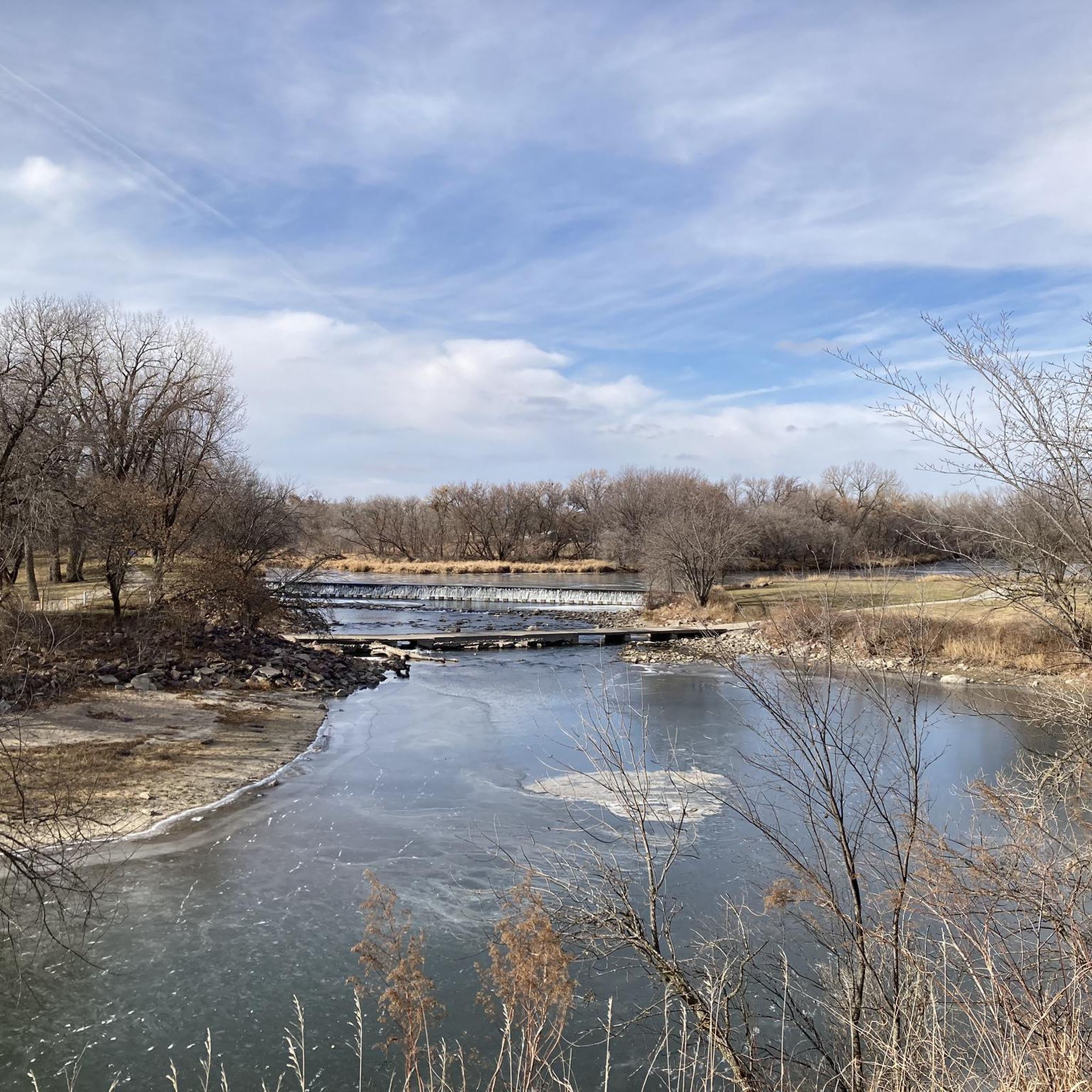
Hiking in Union County offers diverse natural features, including dense woodlands, rolling hills, and serene waterways, providing a picturesque setting for outdoor enthusiasts. The region is characterized by gentle elevation changes and a basalt ridge line, making many paths accessible to a wide range of fitness levels. Extensive park systems, such as the Watchung Reservation, contribute to a robust network of trails. These natural features create varied terrain for exploration.
Best hiking trails in Union County
- The most popular hiking…
Last updated: June 25, 2026
4.0
(1)
6
hikers
6.14km
01:33
10m
10m
Easy hike. Great for any fitness level. Easily-accessible paths. Suitable for all skill levels.
5.0
(1)
1
hikers
6.61km
01:51
150m
120m
Easy hike. Great for any fitness level. Easily-accessible paths. Suitable for all skill levels.

Sign up for free
6.45km
01:45
90m
90m
Easy hike. Great for any fitness level. Easily-accessible paths. Suitable for all skill levels.
1
hikers
7.69km
02:07
130m
130m
Moderate hike. Good fitness required. Easily-accessible paths. Suitable for all skill levels.
3.19km
00:50
20m
20m
Easy hike. Great for any fitness level. Easily-accessible paths. Suitable for all skill levels.
5
hikers
9.35km
02:22
20m
20m
Moderate hike. Good fitness required. Easily-accessible paths. Suitable for all skill levels.
Our route recommendations are based on thousands of hikes, rides, and runs completed by other people on komoot.
Start today with a free account
Your next adventure awaits.
Login or Signup
Popular around Union County
Tips from the Community

The Adams Homestead and Nature Preserve Trail is a crushed-limestone trail for cyclists and walkers. The trail passes through beautiful wooded landscape around Mud Lake and the Missouri River and is a popular spot for bird spotting.
0
0

The trails in Ponca State Park offer magnificent river valley views — especially the tri-state lookout, which is the highlight of the park. You may need to spend some time on the road connecting nearby trails if you wish to make a loop, meaning bathrooms and rest areas are easily sought out as you hike.
0
0
From the lookout you can see the Missouri River, which forms the Nebraska border with South Dakota, and beyond to Big Sioux River, which forms the border between South Dakota and Iowa.
1
0
The Missouri River is the longest river in the United States. It originates in the Rockies and drains into the Mississippi near St. Louis. From here you can stand on the overlook and admire the river using a binocular stand. There is an informational signboard that talks about migration on the river.
1
0
This trail offers the best of Ponca State Park — you will see sweeping views of the MIssouri RIver, switchbacks along the side of a tributary river valley, and be dwarfed by Ponca's towering trees. Instead of following the section of trail south of the road, you can take the road to the next trailhead.
0
0
Frequently Asked Questions
How many hiking trails are available in Union County?
Komoot currently lists 6 hiking routes in Union County. These range from easy strolls to more moderate adventures, offering a variety of experiences for different skill levels.
What kind of terrain can I expect on Union County hiking trails?
Union County's trails often feature diverse terrain, including woodlands, open fields, and paths alongside serene waterways. You'll find gentle elevation changes on many paths, making them accessible to a wide range of fitness levels. For example, the Stone State Park Loop Trail offers a mix of features with some notable elevation gain.
Are there any easy, family-friendly hikes in Union County?
Yes, Union County offers several easy trails perfect for families. The Lake Loop is a great option, providing a pleasant walk around a lake. Another accessible choice is the Buffalo Run Trail, which is shorter and has minimal elevation changes.
Can I find circular hiking routes in Union County?
Absolutely. Many of Union County's trails are designed as loops, allowing you to start and end at the same point. Examples include the Lake Loop, the Stone State Park Loop Trail, and the Native Trees loop from Wynstone.
What is the best time of year to go hiking in Union County?
While hiking is enjoyable year-round, spring and autumn often offer the most pleasant conditions in Union County. Spring brings blooming flora, and autumn showcases vibrant fall foliage. Summers can be warm, so early mornings or late afternoons are ideal, while winter hiking is possible, but trails may be covered in snow or ice.
Are there any trails with significant viewpoints or scenic overlooks?
While specific named viewpoints aren't detailed for all trails, routes like the Loess Hill, Corps of Discovery & Bloodroot Trail Loop offer varied terrain and elevation changes that can provide scenic vistas of the surrounding natural landscape, especially within the rolling hills characteristic of the region.
What do other hikers say about the trails in Union County?
The hiking routes in Union County are highly rated by the komoot community, with an average score of 4.5 stars. Reviewers often praise the peaceful natural settings, the well-maintained paths, and the accessibility of many trails for various fitness levels.
Are there any trails suitable for beginners in Union County?
Yes, Union County has several excellent options for beginner hikers. The Union Grove Multi-Use Trail is an easy route with minimal elevation, perfect for those new to hiking or looking for a relaxed walk. The Buffalo Run Trail is another short and easy option.
How long are the hiking trails in Union County?
The trails in Union County vary in length. You can find shorter routes like the Buffalo Run Trail at approximately 3.2 km, up to longer options such as the Native Trees loop from Wynstone which is about 9.3 km. Most trails fall within the 6-7 km range.
Are there any trails that follow rivers or lakes in Union County?
Yes, several trails in Union County offer scenic views of water features. The Lake Loop is a prime example, guiding you around a tranquil lake. While specific river trails are not detailed in the available routes, the region is known for its serene waterways, and many paths will likely offer glimpses of streams or ponds.
What is the most challenging hike available in Union County?
Among the listed routes, the Loess Hill, Corps of Discovery & Bloodroot Trail Loop and the Native Trees loop from Wynstone are rated as moderate difficulty. These trails typically involve longer distances and more varied terrain or elevation changes compared to the easy routes, offering a good challenge for those looking for a bit more exertion.
Most popular routes in Union County

Get inspired with the komoot mobile app


Explore more
Browse the best Hikes in other regions.
