The best walks and hikes around Dommartin-Varimont
4.7
(13)
35
hikers
5
hikes
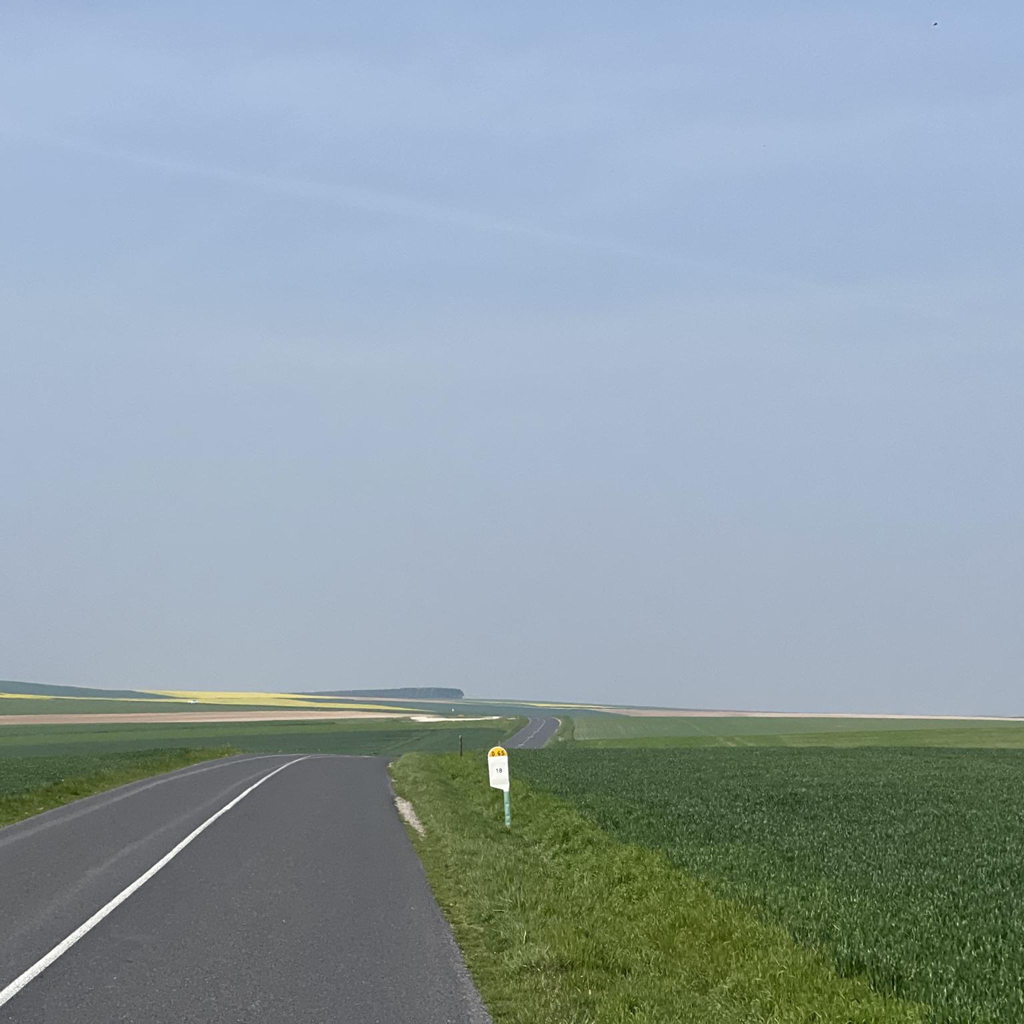
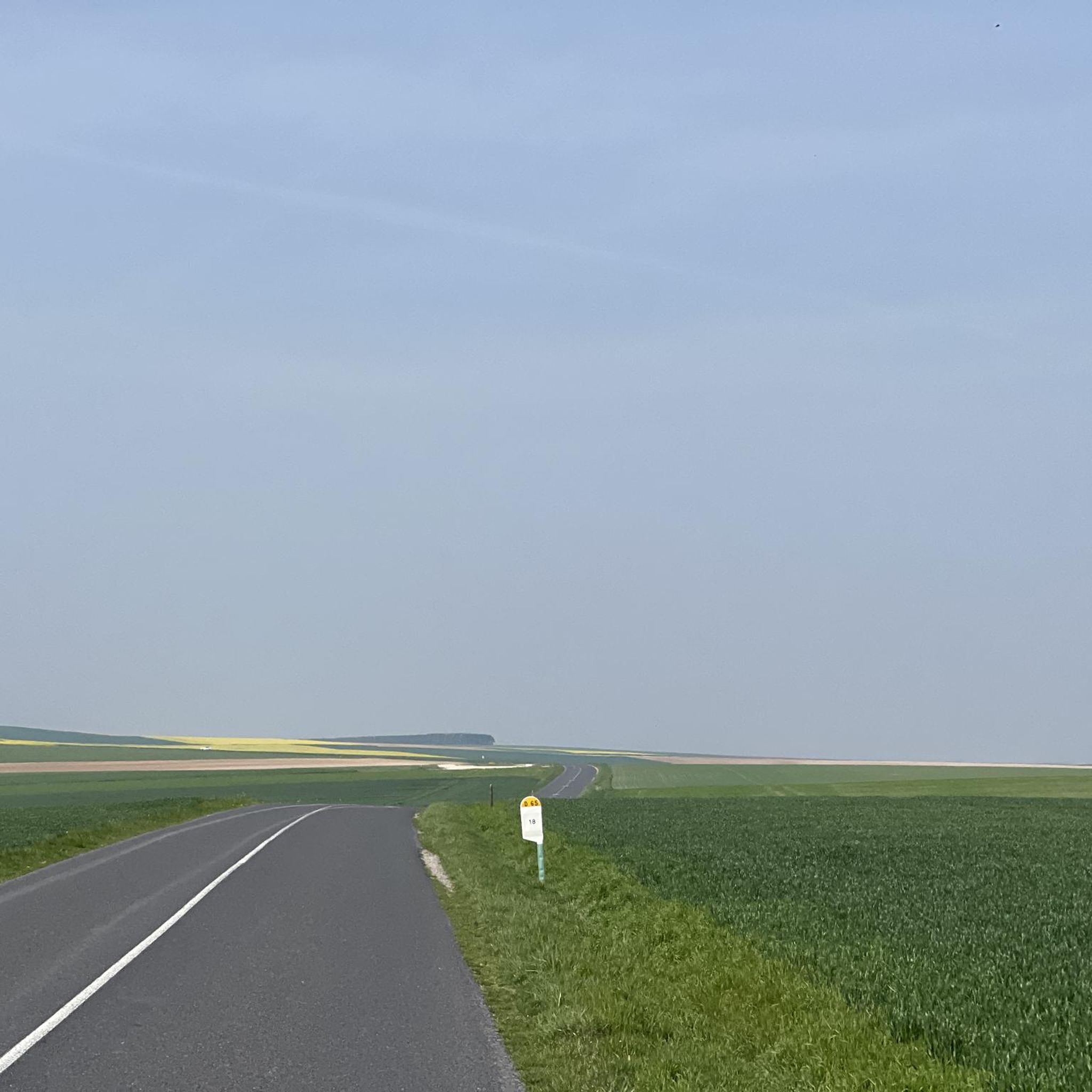
Hiking around Dommartin-Varimont offers access to the diverse natural landscape of the Argonne region in north-eastern France. The commune features an elevation ranging from 152 to 227 meters and is drained by local streams like the Yevre and Rouillat. The broader Argonne region is characterized by wooded ridges, deep valleys, numerous ponds, and a unique "gaize" geology, providing varied terrain for hiking. This rural area is known for its preserved natural environment, making it suitable for outdoor activities.
Best hiking…
Last updated: July 1, 2026
5.0
(1)
9
hikers
2.27km
00:35
10m
10m
Easy hike. Great for any fitness level. Easily-accessible paths. Suitable for all skill levels.
5.0
(2)
7
hikers
14.8km
03:48
70m
70m
Moderate hike. Good fitness required. Easily-accessible paths. Suitable for all skill levels.

Sign up for free
5.0
(3)
4
hikers
9.44km
02:25
40m
40m
Moderate hike. Good fitness required. Easily-accessible paths. Suitable for all skill levels.
4.3
(3)
7
hikers
Moderate hike. Good fitness required. Easily-accessible paths. Suitable for all skill levels.
4.5
(2)
4
hikers
8.26km
02:08
40m
40m
Moderate hike. Good fitness required. Easily-accessible paths. Suitable for all skill levels.
Our route recommendations are based on thousands of hikes, rides, and runs completed by other people on komoot.
Start today with a free account
Your next adventure awaits.
Login or Signup
Popular around Dommartin-Varimont

Frequently Asked Questions
What kind of terrain can I expect on hikes around Dommartin-Varimont?
The hiking trails around Dommartin-Varimont are characterized by the diverse natural landscape of the Argonne region. You can expect to encounter wooded ridges, deep valleys, and numerous ponds. The area's unique 'gaize' geology, a type of siliceous sedimentary rock, also contributes to the distinctive character of the trails.
Are there any easy hiking routes suitable for beginners or a quick stroll?
Yes, there are easy options available. For a short and accessible walk, consider the Étang de Givry loop from Givry-en-Argonne. This 1.4-mile (2.3 km) trail circles a tranquil pond and takes about 35 minutes to complete.
Are there any longer, more challenging hikes in the area?
While there are no difficult-rated trails, several moderate routes offer a longer experience. The View of the River loop from La Neuville-aux-Bois is a moderate 9.3-mile (15.0 km) path that provides expansive views of the local river and surrounding countryside.
What natural features can I expect to see while hiking?
The region is rich in natural beauty. You'll find extensive forests, numerous ponds, and local streams like the Yevre and the Rouillat. The Argonne region is known for its preserved natural environment, making it a refuge for biodiversity where you might spot wildlife such as deer and various migratory birds.
Are there any circular walks available around Dommartin-Varimont?
Yes, many of the routes are circular. For example, the Étang des Franches Soles loop from Joguenette is a 5.9-mile (9.4 km) trail that leads through wooded areas and past a pond, typically completed in about 2 hours 25 minutes.
What do other hikers say about the trails in Dommartin-Varimont?
The routes in Dommartin-Varimont are highly rated by the komoot community, with an average score of 4.6 stars from 7 reviews. Hikers often praise the tranquil natural setting and the variety of terrain offered by the Argonne region.
Are there any interesting landmarks or places to explore near the hiking trails?
Yes, there are several points of interest nearby. You could visit the Valmy Mill, the historic Tomb of Theodoric, or the War Memorial and Saint Maurice Church in Dampierre-le-Château.
What is the elevation gain like on the trails?
The elevation in the Dommartin-Varimont area ranges from 152 to 227 meters. While the region features varied topography, most trails have moderate elevation gains. For instance, the Town Hall at Villers-en-Argonne – Church at Villers-en-Argonne loop from Villers-en-Argonne has an elevation gain of approximately 210 meters over its 9.2-mile (14.8 km) distance.
Are there any trails that pass by multiple ponds or bodies of water?
Yes, the region is known for its numerous ponds. The Étang de Givry – Étang de Perceval loop from Givry-en-Argonne is a moderate 5.9-mile (9.5 km) route that connects two notable ponds, offering scenic views of the water.
Is Dommartin-Varimont a good destination for nature observation?
Absolutely. The Argonne region, where Dommartin-Varimont is located, is a preserved natural environment. Its extensive forests and numerous ponds create a significant refuge for biodiversity, making it an excellent spot for observing diverse flora and fauna, including deer and various migratory birds.
Most popular attractions around Dommartin-Varimont

Get inspired with the komoot mobile app


Explore more
Browse the best Hikes in other regions.
