The best walks and hikes around Moyen
4.3
(24)
222
hikers
52
hikes
Hiking around Moyen offers routes through a landscape characterized by gentle terrain, rural paths, and local water bodies such as ponds. The area features a network of trails that connect villages and historical sites, providing accessible outdoor experiences. Elevation changes are generally modest, making many routes suitable for various fitness levels. The Moyen Meurthe-et-Moselle hiking difficulty terrain elevation is predominantly gentle, with few steep ascents.
Best hiking trails around Moyen
- The most popular hiking route is Étang de Marainviller loop…
Last updated: August 26, 2026
5.0
(3)
10
hikers
2.48km
00:38
0m
0m
Easy hike. Great for any fitness level. Easily-accessible paths. Suitable for all skill levels.
11
hikers
11.1km
02:54
90m
90m
Moderate hike. Good fitness required. Easily-accessible paths. Suitable for all skill levels.

Sign up for free
5
hikers
16.1km
04:22
220m
220m
Moderate hike. Good fitness required. Easily-accessible paths. Suitable for all skill levels.
4
hikers
10.5km
02:47
90m
90m
Moderate hike. Good fitness required. Easily-accessible paths. Suitable for all skill levels.
3
hikers
11.1km
02:59
140m
140m
Moderate hike. Good fitness required. Easily-accessible paths. Suitable for all skill levels.
Get access to more routes and recommendations from other explorers.
Sign up for free
Already have an account?
Our route recommendations are based on thousands of hikes, rides, and runs completed by other people on komoot.
Start today with a free account
Your next adventure awaits.
Login or Signup

Tips from the Community


Frequently Asked Questions
How many hiking trails are available around Moyen?
There are over 40 hiking trails around Moyen, offering a variety of options for different skill levels. This includes 22 easy routes, 19 moderate routes, and one more challenging trail.
Are there easy hiking trails suitable for families in Moyen?
Yes, Moyen offers several easy hiking trails perfect for families. A great option is the Étang de Marainviller loop from Parking Grand Étang, an easy 1.5-mile (2.5 km) route that circles a local pond, ideal for a leisurely stroll.
What kind of terrain can I expect on hikes in Moyen?
Hiking around Moyen is characterized by gentle terrain, rural paths, and local water bodies such as ponds. The routes often connect villages and historical sites, with generally modest elevation changes, making them accessible for various fitness levels.
Are there any challenging hikes around Moyen?
While most trails in Moyen are easy to moderate, there is at least one more challenging route available. For those looking for a longer, moderate option, consider the Moyen Castle – 36th RIC Monument loop from Gerbéviller, which covers over 9 miles (15 km) with more significant elevation changes.
What historical sites can I explore while hiking in Moyen?
Moyen's hiking trails often lead to or pass by historical sites. The 36th RIC Monument loop from Fraimbois is a moderate route that features a mix of rural paths and leads to a historical monument. You can also visit Moyen Castle, a notable landmark in the area.
Are there any circular walks in Moyen?
Yes, many of the trails in Moyen are circular, allowing you to start and end at the same point. For example, the Haut de l'Armérion loop from Vathiménil is a 4.6-mile (7.4 km) circular trail that takes you through varied rural landscapes.
What do other hikers enjoy most about hiking in Moyen?
The hiking experience in Moyen is highly rated by the komoot community, with an average score of 4.2 stars from over 20 reviews. Hikers often appreciate the accessible outdoor experiences, the network of trails connecting villages, and the presence of local ponds and historical sites.
Are there any notable attractions or landmarks near the hiking routes?
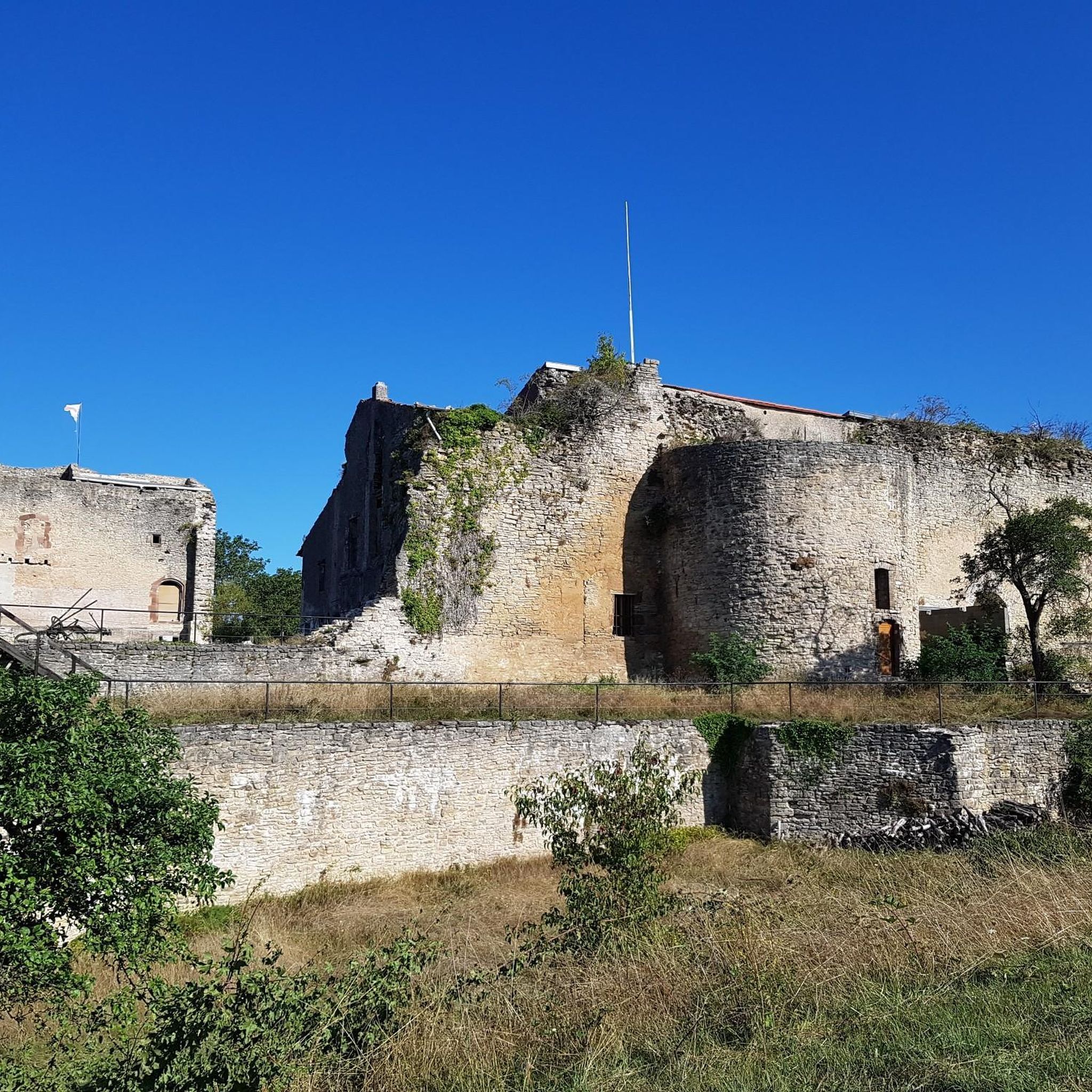
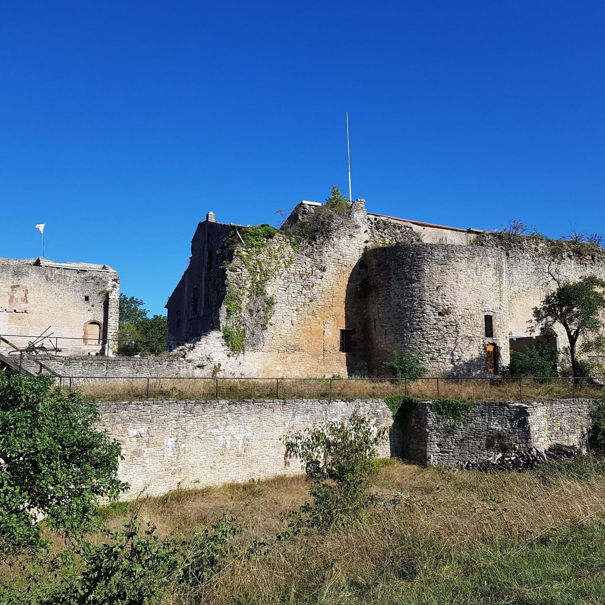
Beyond the trails, you can explore several attractions. These include Moyen Castle and Adoménil Castle. For nature enthusiasts, there's also a Bear cave and the Summit of the ancient volcano.
Are there any trails that pass by water features?
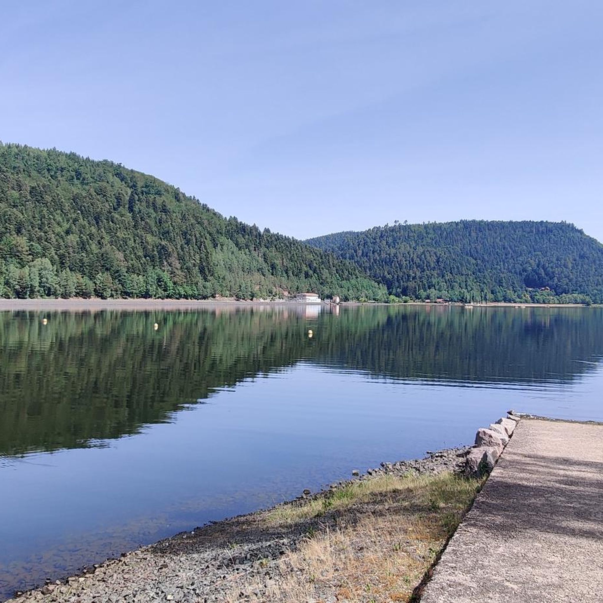
Yes, the landscape around Moyen includes local water bodies. The Étang de Marainviller loop from Moncel-lès-Lunéville is a 4.3-mile (6.9 km) easy route that takes you around the Étang de Marainviller, offering pleasant views of the pond.
What is the typical duration for hikes in Moyen?
Hike durations in Moyen vary depending on the route's length and difficulty. Easy loops around local ponds might take less than an hour, while moderate trails exploring rural paths and historical sites can range from 2 to 4 hours. Longer routes, like the Moyen Castle – 36th RIC Monument loop from Gerbéviller, can take over 4 hours to complete.
Most popular attractions around Moyen

Get inspired with the komoot mobile app


Explore more
Browse the best Hikes in other regions.
