The best walks and hikes around Fins
4.7
(14)
25
hikers
4
hikes
Hiking around Fins offers a network of trails through a landscape characterized by gentle elevations and open terrain. The region features paths that connect historical points of interest and provide opportunities for outdoor exploration. These routes generally present low to moderate elevation changes, making them accessible for various hiking abilities. The area's trails are well-suited for experiencing the local environment on foot.
Best hiking trails around Fins
- The most popular hiking route is Poste observation 14.18 loop from Épehy,…
Last updated: June 29, 2026
4.0
(2)
5
hikers
9.97km
02:35
60m
60m
Moderate hike. Good fitness required. Easily-accessible paths. Suitable for all skill levels.
5.0
(1)
4
hikers
6.77km
01:47
60m
60m
Easy hike. Great for any fitness level. Easily-accessible paths. Suitable for all skill levels.

Sign up for free
5.0
(2)
5
hikers
12.1km
03:13
120m
120m
Moderate hike. Good fitness required. Easily-accessible paths. Suitable for all skill levels.
4.5
(2)
2
hikers
7.16km
01:54
70m
70m
Easy hike. Great for any fitness level. Easily-accessible paths. Suitable for all skill levels.
5.0
(1)
2
hikers
8.24km
02:09
60m
60m
Moderate hike. Good fitness required. Easily-accessible paths. Suitable for all skill levels.
Our route recommendations are based on thousands of hikes, rides, and runs completed by other people on komoot.
Start today with a free account
Your next adventure awaits.
Login or Signup



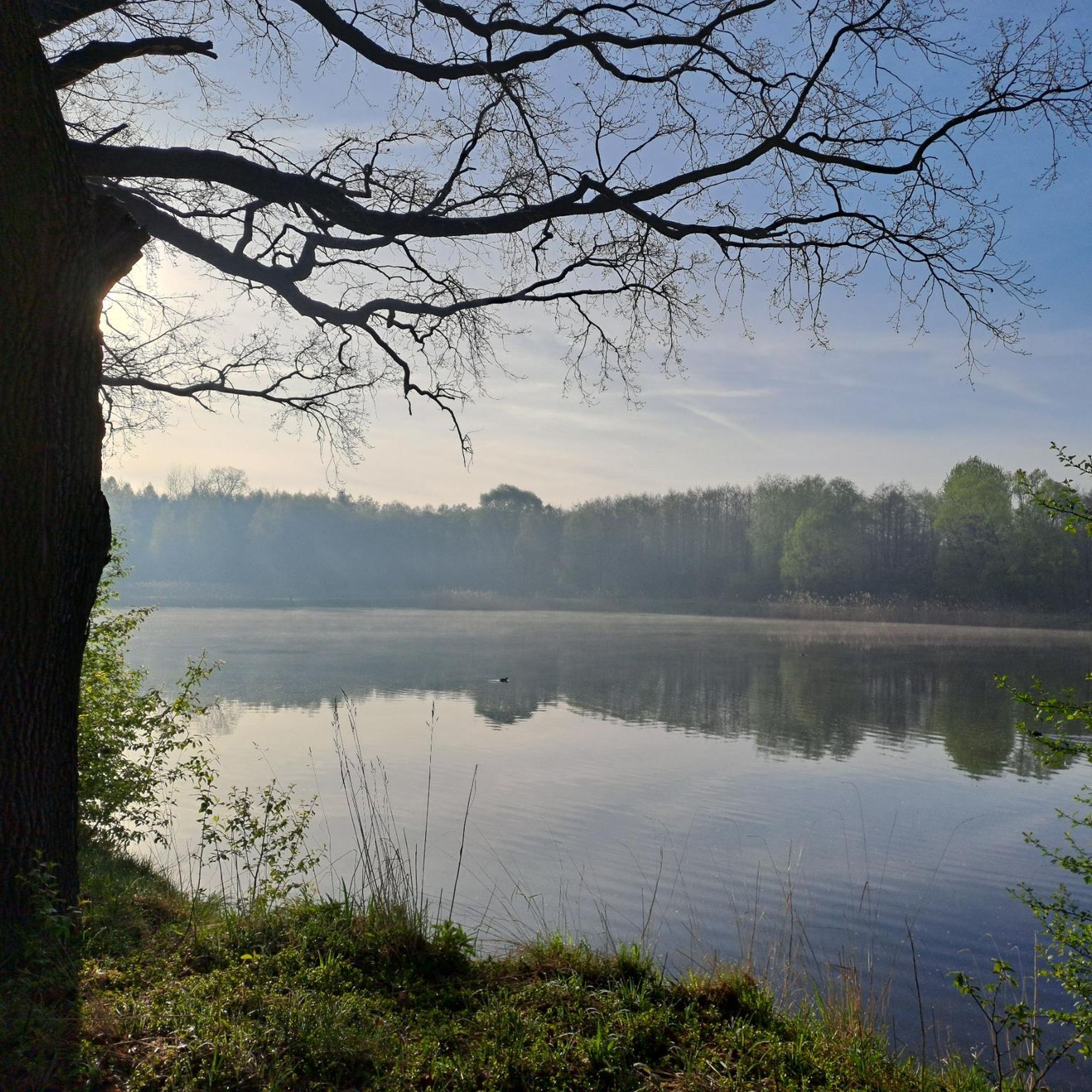
Tips from the Community

A single-seater blockhouse built by the Germans to guard the nearby railway switch.
0
0
Frequently Asked Questions
How many hiking trails are available around Fins?
There are 6 hiking trails around Fins, offering a variety of options for exploring the local landscape.
What is the general difficulty level of hiking trails in Fins?
The hiking trails in Fins are generally accessible, with 3 easy routes and 3 moderate routes. There are no difficult trails, making the area suitable for a wide range of hikers.
Are there any circular hiking routes in Fins?
Yes, many of the trails around Fins are circular. For example, you can explore the Poste observation 14.18 loop from Épehy or the German Blockhouse loop from Tincourt-Boucly, both offering convenient loop options.
What kind of landscape can I expect while hiking in Fins?
Hiking around Fins features gentle rolling hills, open fields, and historical landmarks. The terrain is characterized by gentle elevations, providing a pleasant experience for outdoor exploration.
What are some notable historical sites or landmarks to see along the trails?
The area around Fins is rich in history. You can find historical points of interest such as the Moislains National Necropolis and the Monument aux Morts, Barrastre. The German Blockhouse – English cemetery loop from Tincourt-Boucly specifically leads through historical sites.
Are there any easy hiking options suitable for families or casual walkers?
Absolutely. Fins offers several easy routes. The German Blockhouse – English cemetery loop from Tincourt-Boucly is an easy 4.0-mile trail, and the View of the Village loop from Étricourt-Manancourt is another easy option, perfect for a relaxed walk.
What do other hikers enjoy the most about hiking in Fins?
The area is highly rated by the komoot community, with an average score of 4.6 stars from over 10 reviews. Hikers often praise the varied terrain, the gentle nature of the trails, and the opportunity to explore historical sites.
What is the longest hiking trail available in Fins?
The longest hiking trail in Fins is the German Blockhouse loop from Tincourt-Boucly, which covers a distance of 6.9 miles (11.1 km) and features the highest elevation gain in the area.
What is the shortest hiking trail in Fins?
The shortest hiking trail in Fins is the German Blockhouse – English cemetery loop from Tincourt-Boucly, which is 4.0 miles (6.5 km) long and typically takes about 1 hour 43 minutes to complete.
Are there any trails that offer good viewpoints or scenic vistas?
While the region is characterized by gentle rolling hills and open fields, routes like the View of the Village loop from Étricourt-Manancourt offer pleasant views of the local villages and surrounding countryside.
Is there a trail that provides a good overview of the area's characteristics?
The Poste observation 14.18 loop from Épehy is a popular route that showcases the typical landscape of Fins, with its gentle elevations and open terrain, connecting various points of interest.
Most popular attractions around Fins

Get inspired with the komoot mobile app


Explore more
Browse the best Hikes in other regions.
