The best walks and hikes around Purgerot
4.7
(15)
70
hikers
15
hikes
Hiking around Purgerot offers diverse landscapes in the Haute-Saône department, characterized by its proximity to the Saône River and its network of greenways. The area features varied terrain, including tranquil fields, dense woods, and gentle hills that provide viewpoints over surrounding villages. Hikers can explore historical elements such as the Saint-Albin Canal Tunnel and picturesque footbridges, alongside rural paths suitable for various activity levels.
Best hiking trails around Purgerot
- The most popular hiking route is Bois des Combes loop from…
Last updated: June 29, 2026
5.0
(2)
13
hikers
13.8km
03:43
180m
180m
Moderate hike. Good fitness required. Easily-accessible paths. Suitable for all skill levels.
4.5
(2)
6
hikers
Moderate hike. Good fitness required. Easily-accessible paths. Suitable for all skill levels.

Sign up for free
5.0
(1)
4
hikers
8.69km
02:18
90m
90m
Moderate hike. Good fitness required. Easily-accessible paths. Suitable for all skill levels.
7
hikers
7.04km
01:47
20m
20m
Easy hike. Great for any fitness level. Easily-accessible paths. Suitable for all skill levels.
4.0
(2)
5
hikers
Hard hike. Very good fitness required. Easily-accessible paths. Suitable for all skill levels.
Get access to more routes and recommendations from other explorers.
Sign up for free
Already have an account?
Our route recommendations are based on thousands of hikes, rides, and runs completed by other people on komoot.
Start today with a free account
Your next adventure awaits.
Login or Signup

Tips from the Community

A curiosity of river navigation
2
0

The 681-metre canal tunnel was built at the end of the 19th century. It allows barges to avoid a long detour via the Saône.
3
0

From Chemilly you can follow the Saône and at the St Albin tunnel the restaurant "le barnayout" is not bad either!!!
3
0

You don't see that every day.
2
0

A bombastic portal leads into the Saone tunnel. Worth seeing.
2
1

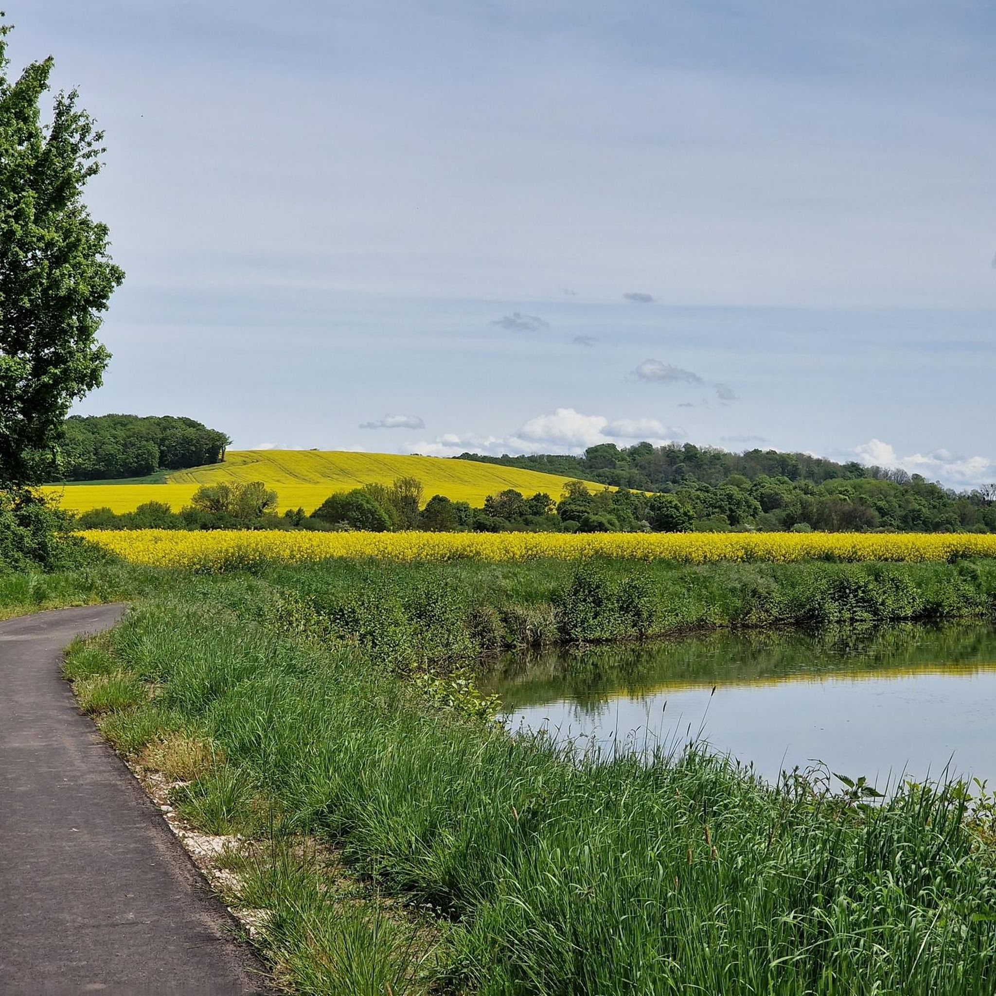
One of the many greenways in France. Also called the Courlis trace, this route is reserved for gentle mobility and therefore suitable for family use. The road crosses fields and woods.
3
0

Unfortunately the church is closed and the castle is only open in July
2
0
Frequently Asked Questions
How many hiking trails are available around Purgerot?
There are 10 marked hiking trails around Purgerot, offering a variety of experiences for different skill levels, from easy strolls to more challenging routes.
What kind of landscapes can I expect to see while hiking near Purgerot?
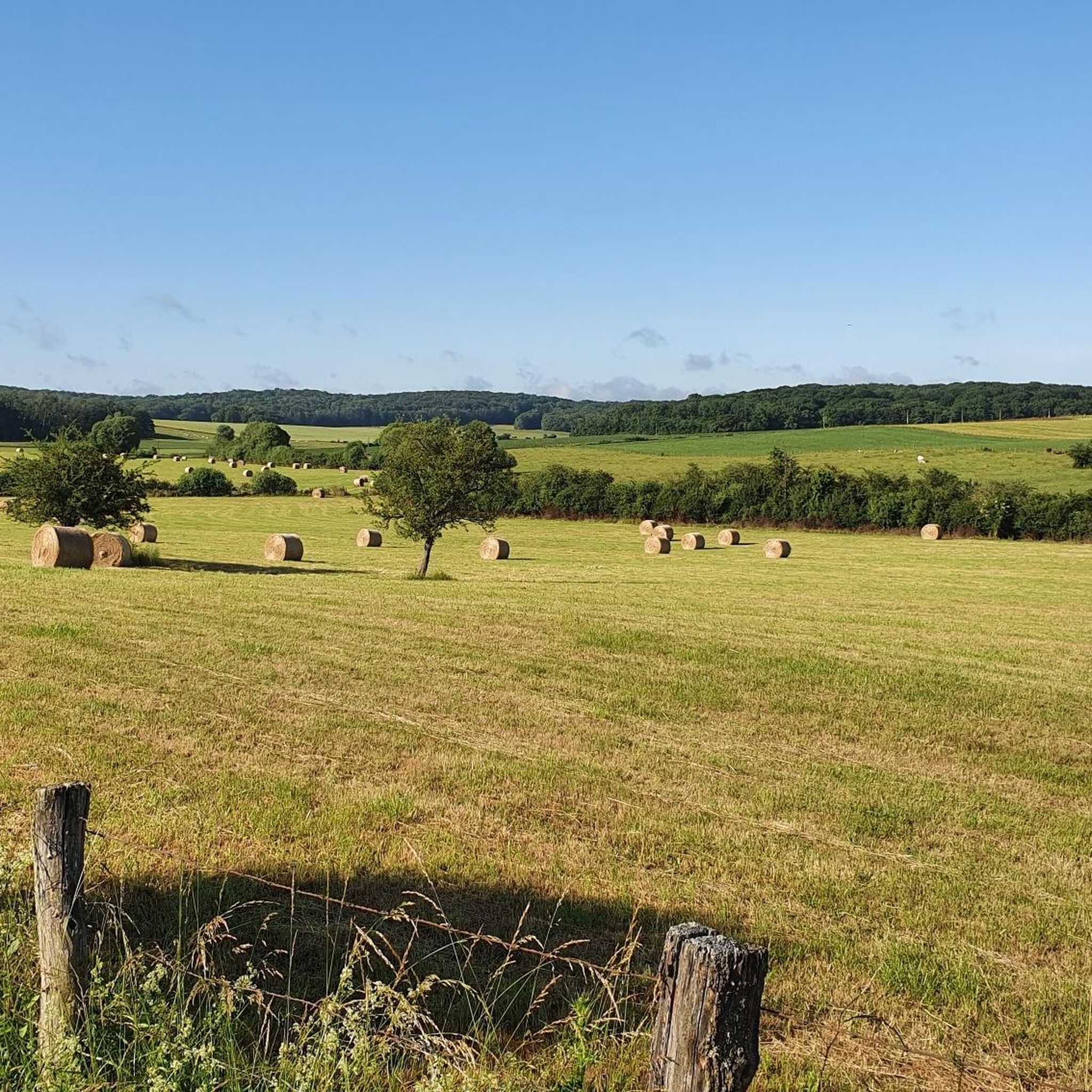
Hikers around Purgerot can enjoy diverse landscapes, including tranquil riverside paths along the Saône, peaceful greenways like the La Trace du Courlis Greenway, and varied rural scenery of fields and woods. Some trails also offer gentle climbs to viewpoints over surrounding villages.
Are there easy hiking options suitable for beginners or casual walkers?
Yes, Purgerot offers 2 easy hiking routes. These paths are generally less demanding and perfect for a relaxed stroll through the scenic countryside, often traversing fields and woods.
Are there any challenging hikes for experienced trekkers?
For experienced trekkers, there is 1 difficult hiking route available around Purgerot, offering a more strenuous and rewarding experience through varied terrain.
What are some notable landmarks or attractions I might encounter on the trails?
Many trails incorporate interesting features. You might pass through charming villages like Jussey with its historic fountains, or encounter engineering marvels such as the Saint-Albin Canal Tunnel. The picturesque Chemilly footbridge is another scenic spot.
Are there any circular hiking routes available in the Purgerot area?
Yes, many of the trails around Purgerot are circular, allowing you to start and end at the same point. An example is the Bois des Combes loop from Port-sur-Saône, which is a moderate 13.8 km route.
What do other hikers enjoy most about hiking in Purgerot?
The area is highly rated by the komoot community, with an average score of 4.6 stars. Reviewers often praise the peaceful riverside paths, the tranquility of the greenways, and the diverse rural landscapes of fields and woods.
Are there any trails that follow the Saône River?
Yes, several routes in the region offer scenic riverside walks along the Saône. For instance, the Saint-Albin Canal Tunnel – Saint-Albin Tunnel loop from Scey-sur-Saône-et-Saint-Albin features beautiful riverside scenery.
Are there any trails suitable for families with children?
The region offers paths suitable for various activity levels, including easy family excursions. The La Trace du Courlis Greenway is particularly noted for its 'gentle mobility' and suitability for family-friendly outings through fields and woods.
What is the typical duration and distance for hikes around Purgerot?
Hikes around Purgerot vary significantly. For example, the moderate Le Trou de Ferrières loop from Port-sur-Saône is about 12.4 km and takes around 3 hours 11 minutes, while longer routes can extend up to 26.7 km.
Are there any trails that offer panoramic views?
Some trails ascend the heights of Montigny-lès-Vesoul, providing pretty viewpoints over the surrounding villages and the varied landscape of the Haute-Saône department.
Where can I find parking for hiking trails near Purgerot?
Many routes, especially circular ones, typically have designated parking areas at their starting points in nearby villages. For example, trails often start from locations like Port-sur-Saône or Ferrières-lès-Scey, where parking is usually available.
Most popular attractions around Purgerot

Get inspired with the komoot mobile app


Explore more
Browse the best Hikes in other regions.
